

🎃 Halloween Update: Trick-or-Treat Looks Mostly Dry, Then Rain Rolls In Overnight as the Clocks Fall Back: Your Dunlap Weather & Outdoors Week
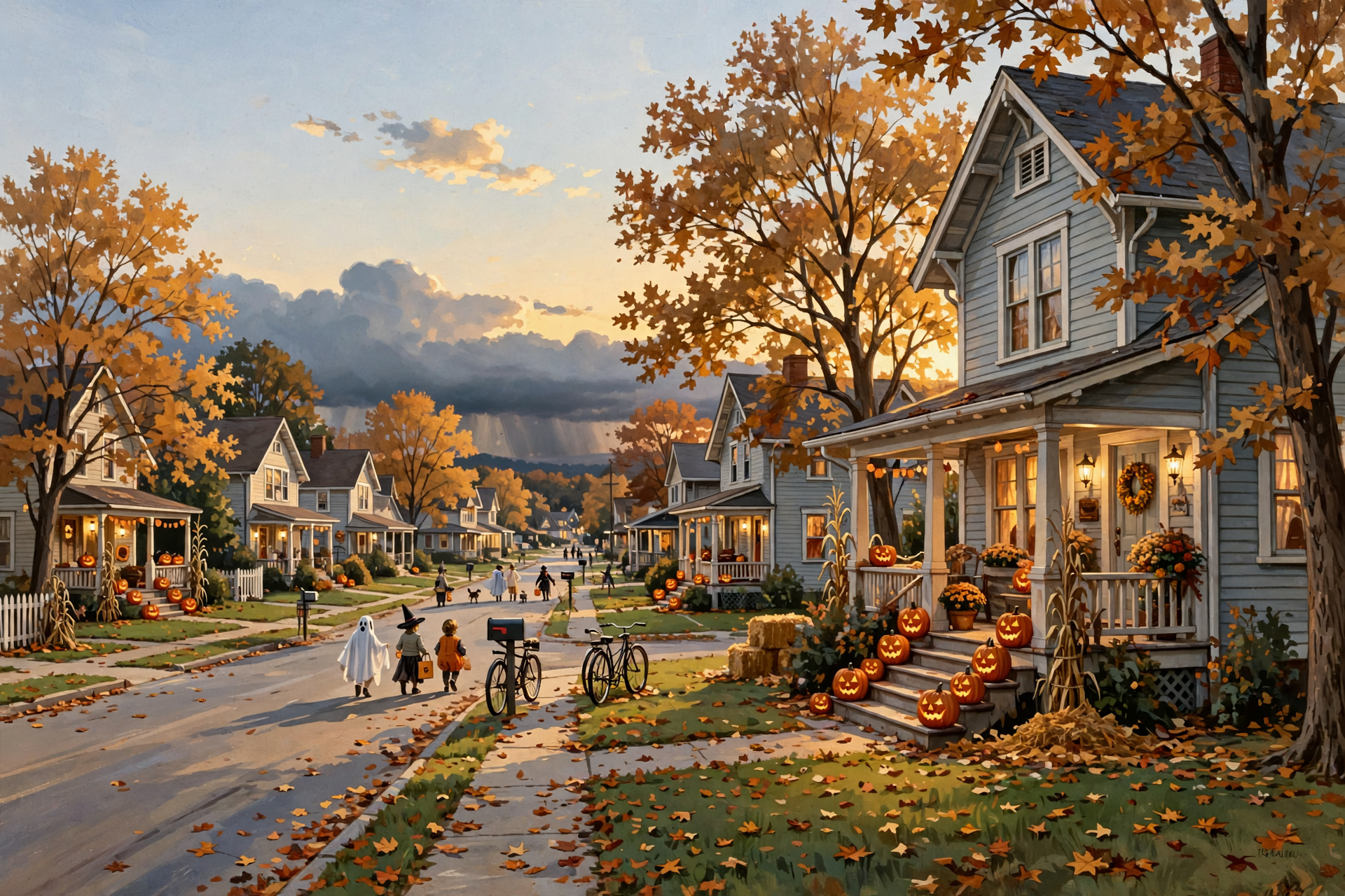
Or: Five More Sunny Days, the Best Burn Air on Thursday and Friday, and a Sunday Soaking the Thirsty Ground Has Been Waiting For
By Thomas Seest, Dunlap.Today · Monday, October 26, 2026
Good Monday morning. Weather Service airport sensors showed Crossville at about 48 degrees under clear skies around 8:25 this morning, and Chattanooga at about 52 in fog. Forecasters at National Weather Service Morristown said fog “developed this morning and is currently impacting” the Chattanooga airport, and it should lift through the morning. Dunlap’s forecast calls for a mostly sunny day with a high near 74 and almost no wind.
Here’s what changed since yesterday, in one breath. Monday through Friday stay dry, with highs from 73 to 77. Halloween still looks good for trick-or-treat: about 70 degrees at 6 p.m. with only a slight shower chance after 7. The new part is Sunday, Nov. 1: showers and maybe a rumble of thunder move in after 1 a.m., and rain is likely Sunday. Early estimates add up to just under an inch, which the dry ground would welcome. Morristown’s Hazardous Weather Outlook expects no hazardous weather through Sunday, and there were no watches, warnings or advisories for Dunlap this morning. Finish burning by Friday. And clocks fall back at 2 a.m. Sunday, the same night the rain arrives.
⏱️ What this means for you in 30 seconds
- Today: Mostly sunny, high near 74. Patchy fog late tonight, low near 46.
- Tuesday to Friday: Dry. Highs 76, 73, 76, 77. Bus-stop mornings in the upper 40s.
- Halloween, Sat. Oct. 31: High near 74. About 70 at 6 p.m., 68 at 7, 66 at 8. Shower chance about 1 in 4 after 7 p.m.
- Sunday, Nov. 1: Rain likely, 60 percent. High near 73. Possibly close to an inch in all.
- Burning: No bans. Free same-day permit. Thursday and Friday are best. Nothing smoldering when the weekend arrives.
- Remember: Archery deer and fall turkey end Friday. Clocks go back Saturday night.
🎃 Halloween Update: Still Mild for Trick-or-Treat, With a Few Clouds Moving In

Yesterday’s forecast had Halloween warm and nearly rain-free well past midnight. This morning’s update, issued about 7:41 a.m. Central, keeps the afternoon pleasant but moves the rain up a little. Saturday is partly sunny with a high near 74 and a 14 percent daytime rain chance. The hour-by-hour forecast has it about 70 degrees at 6 p.m., 68 at 7 and 66 at 8. From 7 p.m. to 1 a.m., there’s a “slight chance of rain showers,” about 24 percent each hour. After 1 a.m., the chance jumps to about 53 percent, with a chance of showers and thunderstorms.
Morristown’s forecasters explained it this way: for Halloween, the ridge of high pressure “will push off to our east” as a disturbance approaches from the west, and rain chances “currently look to be more towards Sunday or later.”
What it means for you: Think of Saturday evening like a long supper on the porch with a storm somewhere over in Arkansas: you can finish your plate, just keep one eye on the sky. Most trick-or-treating should go fine. Tuck a rain jacket or poncho in the wagon for the late crowd, and use flashlights or reflective tape instead of candles. Sunset is about 5:48 p.m. and it’s fully dark by about 6:14. The moon won’t rise until about 11 p.m., so the back roads will be truly dark. Drivers, slow down. If you’re hosting a trunk-or-treat or a hayride, it’s smart to have a covered backup spot, just in case. Saturday’s timing can still shift a few hours this far out; check again Friday.
👉 Read more (Dunlap 7-day forecast) · NWS Morristown forecast discussion
🌧️ Sunday, Nov. 1: The Rain the Valley’s Been Short On
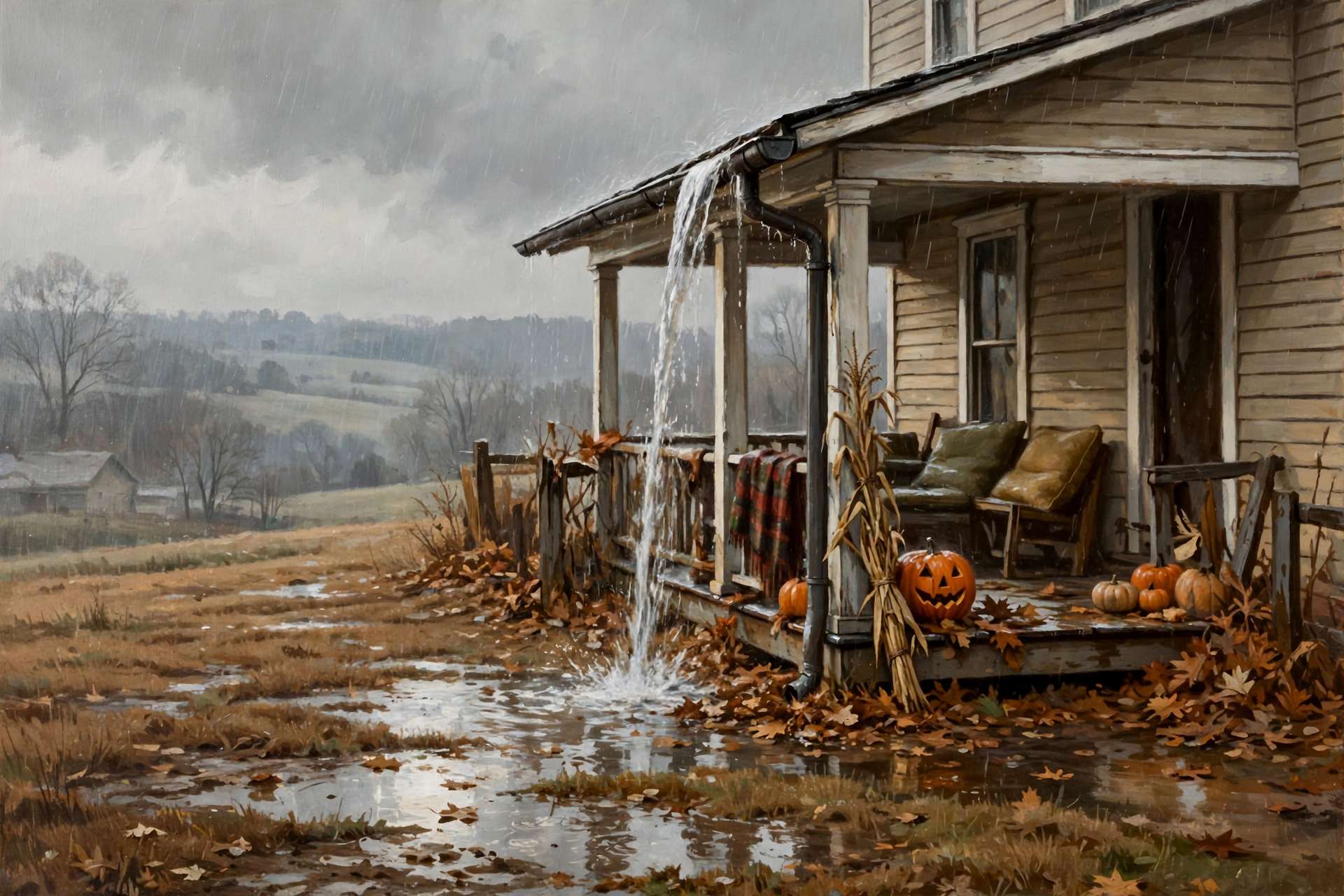
Dunlap’s forecast for Sunday reads: “Rain showers likely. Mostly cloudy, with a high near 73. Chance of precipitation is 60%.” The hourly forecast keeps that 60 percent through the morning, easing to about 33 percent in the afternoon and 26 percent Sunday night. The Weather Service’s forecast grid for Dunlap adds its early rainfall estimate up to just under an inch from Saturday evening through Sunday night. Thunder chances stay low, mostly 15 percent or less. Morristown’s Hazardous Weather Outlook covering Sequatchie, Bledsoe, Marion and Hamilton counties says “no hazardous weather is expected” through Sunday.
The federal long-range picture fits. The Climate Prediction Center’s newest outlooks lean wetter than normal for Tennessee: about 40 to 50 percent odds for Oct. 31 to Nov. 4, and about 33 to 40 percent for Nov. 2 to 8. They also keep it warm: 80 to 90 percent odds of above-normal temperatures for the first stretch and 70 to 80 percent for the second, with forecasters naming “the Tennessee Valley” among areas “exceeding 70 percent.”
What it means for you: A rain like this is the difference between a quick sprinkle from the hose and leaving the soaker running all night: the soaking kind is what the pastures and ponds need. Bring in cushions, lawn chairs and Halloween decorations Saturday night, and check that gutters and downspouts aren’t packed with leaves. Folks going to church Sunday morning, take an umbrella. Rainfall amounts this far out are an early guess, not a promise, and they will change.
👉 Read more (Dunlap 7-day forecast) · 6–10 day outlook maps · 8–14 day outlook maps · Hazardous Weather Outlook
📅 Five Dry School Days: Cool Bus Stops, T-Shirt Afternoons
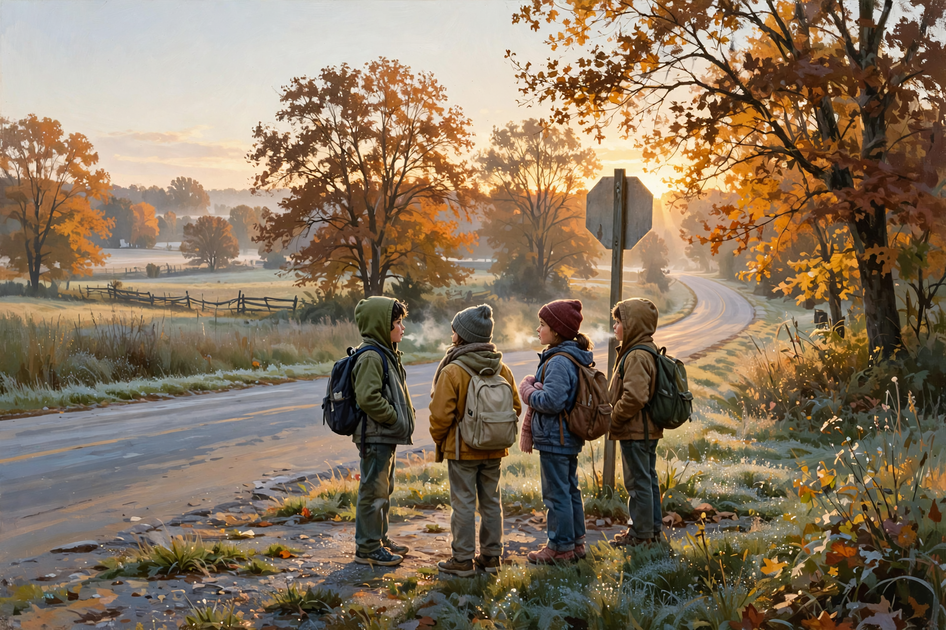
Morristown’s key message hasn’t budged: “Dry weather will continue over the forecast period with cool mornings and mild afternoon highs.” High pressure sits right over the eastern states, and the ridge moves overhead Tuesday for a little more warmth. For reference, a normal late-October day at the Chattanooga airport runs about 71 for a high and 47 for a low; Sunday came in at 72 and 45. Dunlap’s point forecast:
- Tonight: Partly cloudy, near 46. Patchy fog between midnight and 2 a.m.
- Tuesday: Sunny, high near 76. Night: partly cloudy, near 49.
- Wednesday: Mostly cloudy, high near 73. Night: partly cloudy, near 45, the coolest night.
- Thursday: Sunny, high near 76. Night: mostly clear, near 48.
- Friday, Oct. 30: Mostly sunny, high near 77, the warmest day. Night: mostly cloudy, near 53.
What it means for you: This week is like the same good breakfast five days running: nobody complains. The 7 a.m. bus stop runs about 46 to 49 degrees all week, so a hoodie in the morning ends up tied around the waist by recess. Watch for fog in the creek bottoms on the early drive. For the farm, these are the days to get hay under cover, finish fall seeding and spread lime before Sunday’s rain, which can help work it into the ground. Wednesday is the cloudiest day, but still dry.
👉 Read more (Dunlap 7-day forecast) · Chattanooga daily climate report
🔥 Burn Piles: Tuesday Is Driest, Thursday and Friday Are Kindest
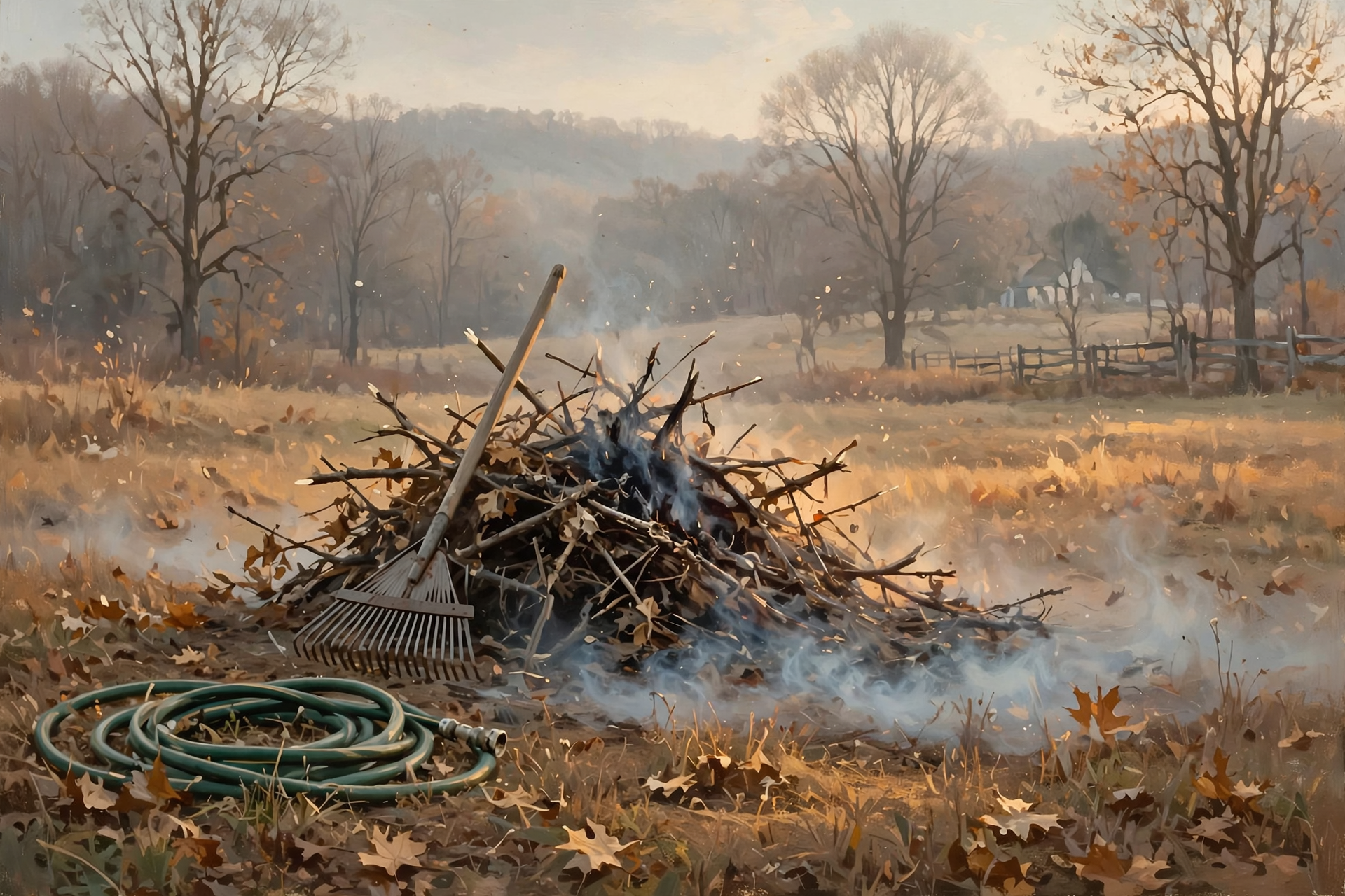
Morristown’s fire-weather forecast for the Sequatchie County zone, issued about 2:12 a.m., puts today’s lowest afternoon humidity at about 39 to 44 percent. Tuesday dips to about 33 to 38 percent, and forecasters called Tuesday “potentially being the driest day.” Then the air softens: about 43 percent Wednesday and 50 percent Thursday and Friday, with winds under 10 mph. Smoke lift is generally poor by day and very poor at night, so smoke will settle low after dark. Forecasters said very light winds are “limiting any notable fire weather concerns.”
Tennessee’s burn-ban page still read this morning: “Currently, there are no active burn bans in the State of Tennessee.” You still need a free same-day permit from the Division of Forestry to burn leaves or brush outside city limits, through May 15.
What it means for you: Burning brush is like frying fish: pick the right day, keep it small and never walk off from it. Thursday or Friday is your best window this week. Skip Tuesday if you can. Get the permit at BurnSafeTN.org, in the MyTN app, or by calling 1-877-350-BURN (2876) on weekdays. Keep a hose and rake handy, and have it completely out by midnight. Weekend rain will help, but don’t count on it to put out a pile. Town residents, check city rules first.
👉 Read more (Morristown fire-weather forecast) · Burn-ban status · Tennessee burn permit rules
🦌 Hunters: Five Days Left for Bow and Turkey, and a Wet Youth Hunt Sunday
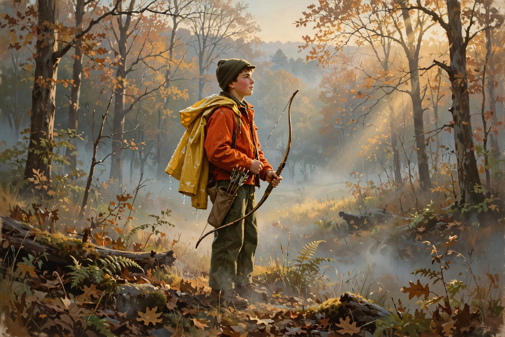
These are the dates coming up this week and next, from TWRA’s statewide season summary and the Prentice Cooper State Forest page. Sequatchie County is in Deer Unit 4; Marion and Hamilton are in Unit 5.
- Through Friday, Oct. 30: Archery deer and fall turkey. Fall turkey bag limit is one male bird.
- Thursday–Saturday, Oct. 29–31: Prentice Cooper muzzleloader quota hunt.
- Saturday–Sunday, Oct. 31–Nov. 1: Statewide Young Sportsman deer hunt, ages 6–16, with a non-hunting adult 21 or older who also follows the orange or pink rules.
- Sunday, Nov. 1: Second dove segment ends. New this week: quail season opens Nov. 1 on wildlife management areas “unless otherwise noted.” Prentice Cooper is closed to quail hunting.
- Monday–Friday, Nov. 2–6: Archery deer and archery-only fall turkey reopen.
- Saturday, Nov. 7: Muzzleloader/archery deer, plus statewide rabbit and quail.
What it means for you: If you’ve been meaning to get in the stand, this week is a hunter’s gift: dry, light winds and cool mornings. With afternoons in the mid-70s, field-dress fast and carry ice. For the youth hunt, Saturday morning looks dry, but Sunday morning is the wettest part of the weekend. Pack rain gear for the kids, keep the blaze orange on top where it shows, and remember Sunday’s sunrise comes an hour earlier on the clock, about 6:03 a.m.
👉 Read more (TWRA hunting seasons summary) · Prentice Cooper hunt dates
🕰️ Clocks Fall Back Saturday Night, and the Rain Comes the Same Night
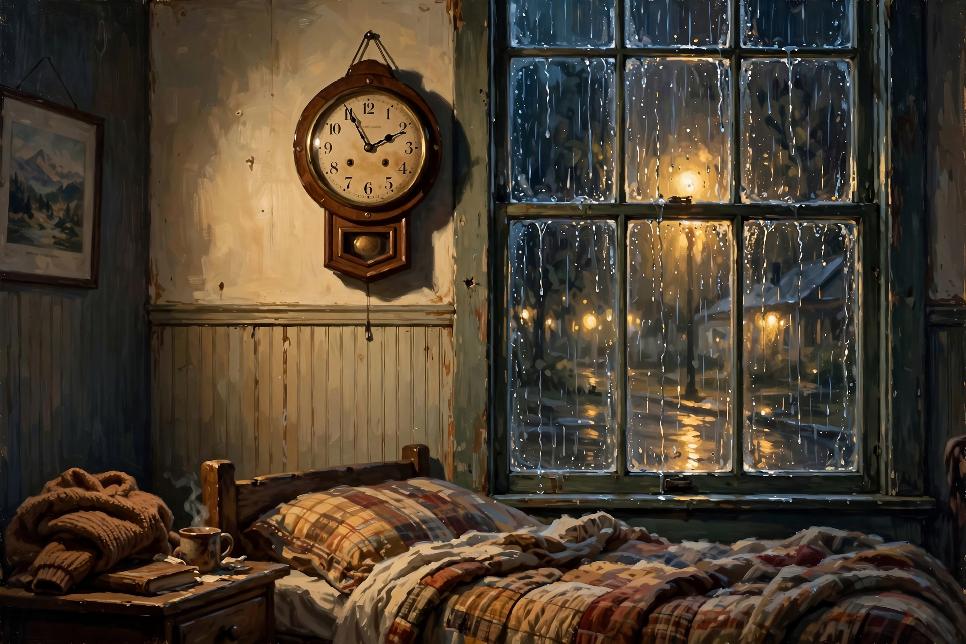
Daylight saving time ends at 2 a.m. Sunday, Nov. 1, when clocks turn back to 1 a.m. That means 1 a.m. happens twice, and the Weather Service’s hourly forecast shows the showers picking up right around then. Based on Naval Observatory sun tables for Dunlap (times are approximate):
- Today, Oct. 26: Sunrise about 6:58 a.m., sunset about 5:53 p.m.
- Saturday, Oct. 31: Sunrise about 7:02 a.m., sunset about 5:48 p.m.
- Sunday, Nov. 1: Sunrise about 6:03 a.m., sunset about 4:47 p.m.
What it means for you: Here’s an easy one to remember: when the porch pumpkin comes in out of the rain, the clocks go back. You’ll gain an hour of sleep, and you may hear rain on the roof while you do. From Sunday on, plan to have animals fed and tools put up by about 4:45, and drivers, watch for deer and kids at dusk on wet roads. It’s also a good time to test smoke alarms. Phones change on their own; the stove, truck and wall clocks won’t.
👉 Read more (2026 clock change for Tennessee) · Naval Observatory sun and moon times
💧 Rain Ledger Update: A Little Further Behind, With Help on the Way
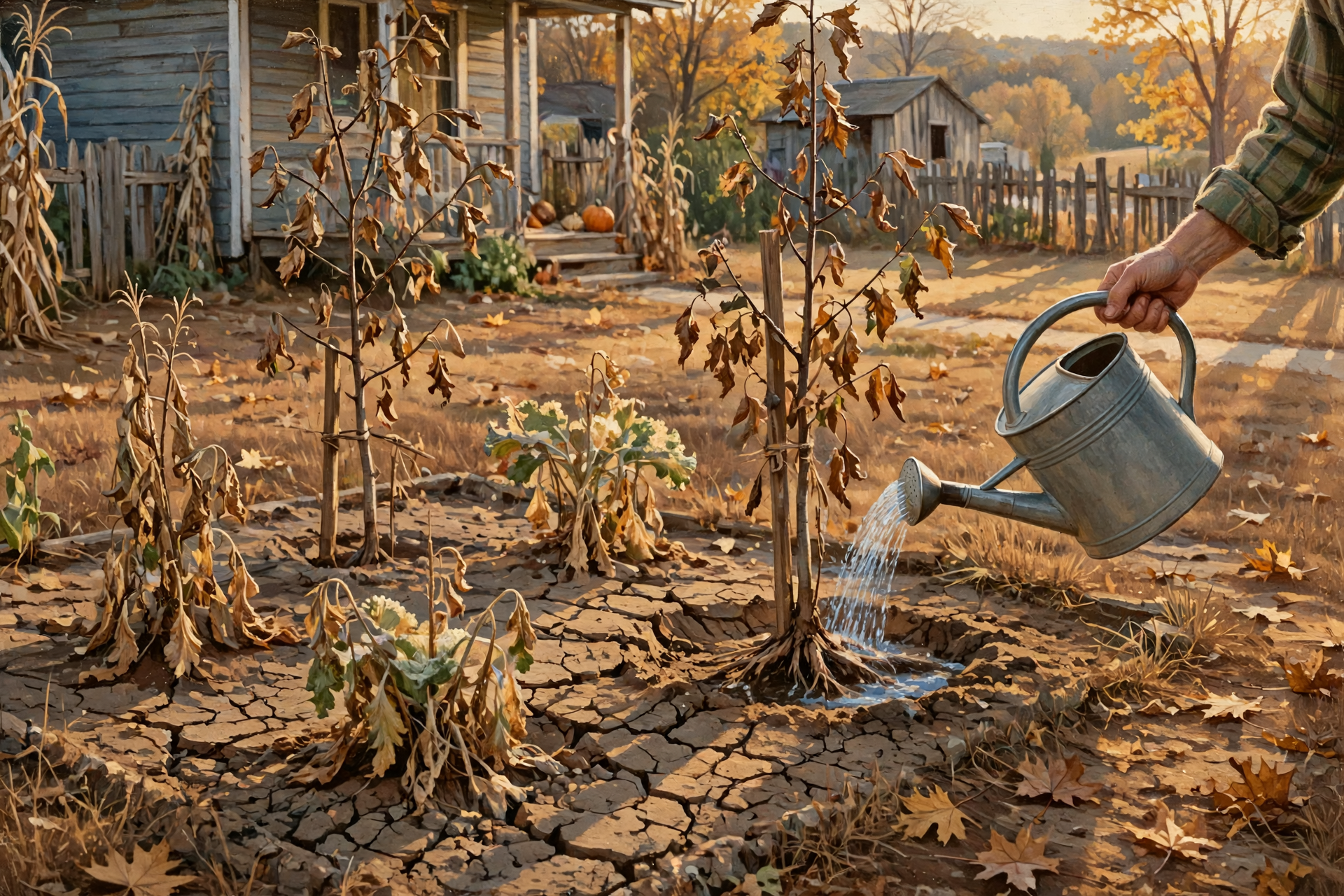
Chattanooga’s airport report shows 2.71 inches so far in October, now 0.19 inch under normal for the month, since no rain fell Sunday. It’s 3.74 inches behind since Sept. 1 and 9.92 inches behind for the year. The next U.S. Drought Monitor map comes out Thursday, Oct. 29, before Sunday’s rain, so the rain won’t show up on the map until the week after.
What it means for you: The ground is like a woodpile you’ve been burning all fall: one good delivery won’t fill the shed, but it sure helps. Keep watering new trees and fall plantings through Friday, then let Sunday do the work. If you’re on a spring or shallow well, keep going easy until the rain adds up. That’s good housekeeping, not alarm.
👉 Read more (Chattanooga daily climate report) · U.S. Drought Monitor: Tennessee
✅ Your Monday-to-Sunday Checklist

- ✅ School mornings: About 46 to 49 at the bus stop, mid-70s by afternoon. Send a layer. Watch for fog early.
- ✅ Tuesday, Oct. 27: Driest air of the week. Skip burning if you can.
- ✅ Thursday or Friday: Best burn days. Free permit first, out by midnight. New drought map comes out Thursday.
- ✅ Friday, Oct. 30: Last day of archery deer and fall turkey until Nov. 2. Warmest day, near 77. Hay under cover.
- ✅ Saturday, Oct. 31: Halloween about 70 at 6 p.m. Lights on every trick-or-treater; tuck a poncho in the wagon.
- ✅ Saturday night, before bed: Bring in cushions and decorations. Set clocks back one hour. Test smoke alarms.
- ✅ Sunday, Nov. 1: Rain likely. Umbrella for church, rain gear for the youth hunt. Sunset about 4:47 p.m.
Practical rule: Dry through Friday, mostly dry for trick-or-treat, wet on Sunday. Burn by Friday, light up every trick-or-treater, and when the pumpkin comes in out of the rain, the clocks go back.
— Dunlap.Today
📚 Plain-English Weather Glossary

- Shortwave: A smaller ripple in the winds high overhead. It can stir up clouds and rain as it passes, like the one due this weekend.
- Zonal flow: When the winds high overhead blow mostly straight west to east. It usually means quiet, steady weather.
- Subsidence: Air slowly sinking from high up. Sinking air dries out and keeps clouds away, which is why we’ve had so many sunny days.
- Mixing: On sunny afternoons, drier air from higher up stirs down to the ground. More mixing means lower humidity.
- Chance of precipitation: The odds that at least a hundredth of an inch of rain falls at a given spot. 60 percent means rain is more likely than not.
- Rainfall estimate (QPF): The Weather Service’s best early guess at how much rain will add up. It changes a lot several days out.
- Relative humidity: How much moisture the air holds compared to how much it could. Low numbers mean fires catch and spread more easily.
- Dispersion: How well smoke rises and spreads out. “Poor” means it tends to hang low.
❓ Frequently Asked Questions

Will it rain on trick-or-treaters?
Probably not much. Dunlap’s hourly forecast for Saturday, Oct. 31 has about 70 degrees at 6 p.m. and only a slight shower chance, about 24 percent, from 7 p.m. to 1 a.m. The better rain chances come after 1 a.m. and on Sunday.
How much rain could we get Sunday?
The Weather Service’s early estimate for Dunlap adds up to just under an inch from Saturday evening through Sunday night. That number will likely change as the weekend gets closer.
Is there any severe weather in the forecast?
No. Morristown’s Hazardous Weather Outlook says no hazardous weather is expected through Sunday. There may be a little thunder Saturday night, but thunder chances stay mostly at 15 percent or less.
What’s the best day this week to burn brush?
Thursday or Friday, when afternoon humidity is about 50 percent and winds are light. Tuesday is the driest day. There are no burn bans, but you still need a free same-day permit outside city limits.
When exactly do the clocks change?
At 2 a.m. Sunday, Nov. 1, clocks go back to 1 a.m. Most people set them back before bed on Halloween night. Sunset that Sunday is about 4:47 p.m.
When does bow season pause?
Archery deer and fall turkey end Friday, Oct. 30, then reopen Monday, Nov. 2 through Friday, Nov. 6. The Young Sportsman deer hunt is Saturday and Sunday, Oct. 31 and Nov. 1.
Will Sunday’s rain end the drought?
It will help, but Chattanooga is still nearly 10 inches behind for the year. It usually takes several good rains to catch up. The next Drought Monitor map, on Thursday, will come out before the rain.
Will it frost this week?
Not in the valley, based on the current forecast, with lows of 45 to 56. Higher ground can run a few degrees colder, so keep an eye on tender plants up on the mountain.
🔗 Other Resources

- National Weather Service: Dunlap forecast
- National Weather Service Morristown
- Hazardous Weather Outlook
- Morristown fire-weather forecast
- Climate Prediction Center 6–10 day outlook
- Climate Prediction Center 8–14 day outlook
- U.S. Drought Monitor: Tennessee
- BurnSafeTN: free burn permits
- Tennessee burn-ban status
- TWRA hunting seasons summary
- Prentice Cooper State Forest hunt dates
- 2026 clock change dates for Tennessee
- U.S. Naval Observatory sun and moon times
- Sequachee Valley Electric Cooperative outages
🌤️ A Gentle Week, a Fine Halloween and a Welcome Rain
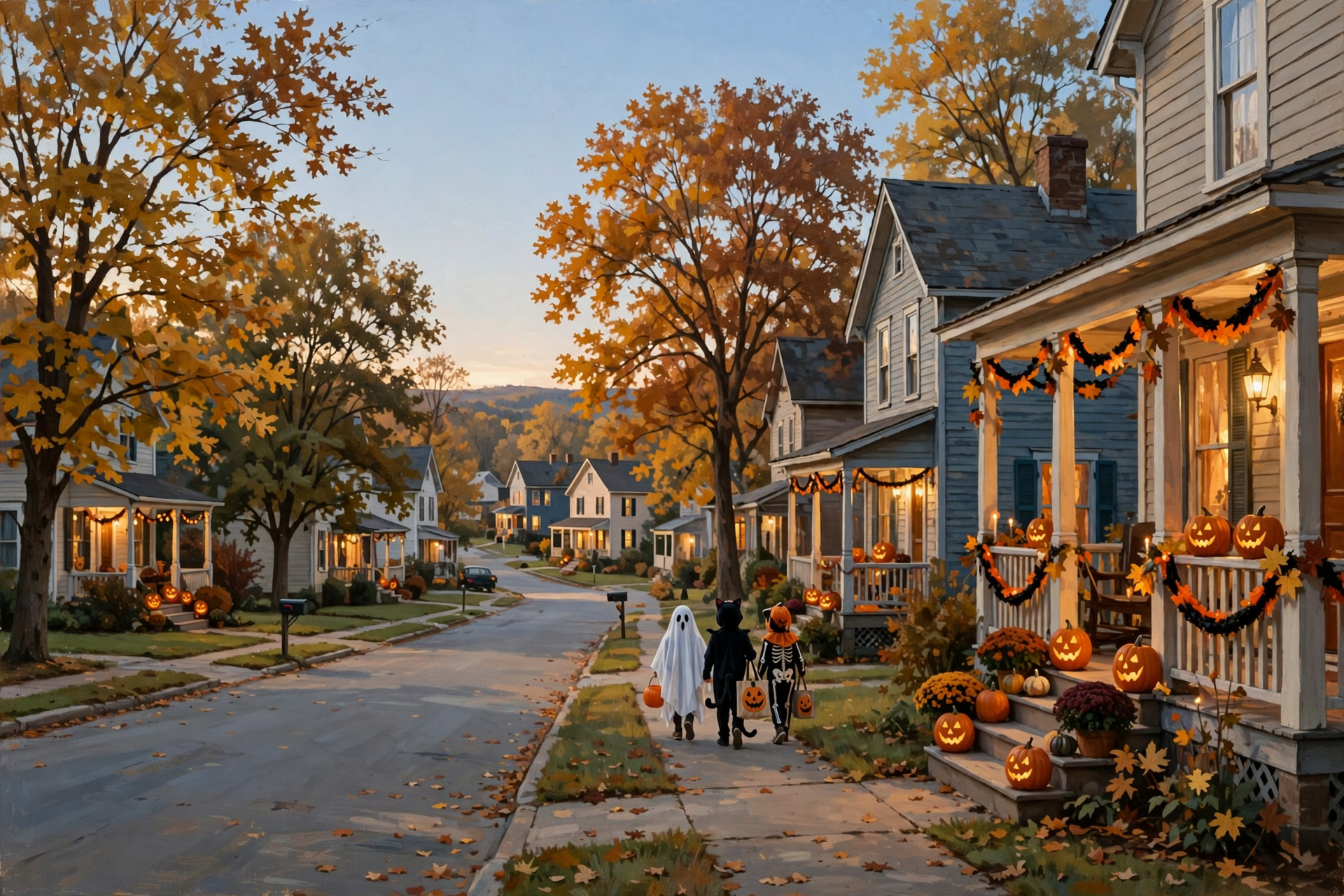
Nothing in this forecast calls for worry. No storms, no watches, no burn bans and no frost in the valley: just foggy daybreaks, sunny afternoons, a mild Halloween evening and a Sunday rain the ground has been asking for. Burn by Friday, light up the trick-or-treat path, bring the decorations in Saturday night, and enjoy that extra hour of sleep with the rain on the roof.
We’ll keep watching the sky so you don’t have to. Read Dunlap.Today for calm, practical weather in plain English.

Sources
Know about an upcoming event or story in the Sequatchie Valley? Submit it here.




0 Comments