
🌤️ A Sunny Sunday, Seven Dry Days, Three More Frosty Mornings and a Sunny 69 for Saturday's Gun Opener
Or: Scrape the windshield through Wednesday, top off the water troughs, burn small on the right afternoon, and enjoy a long, sunny, dry stretch.
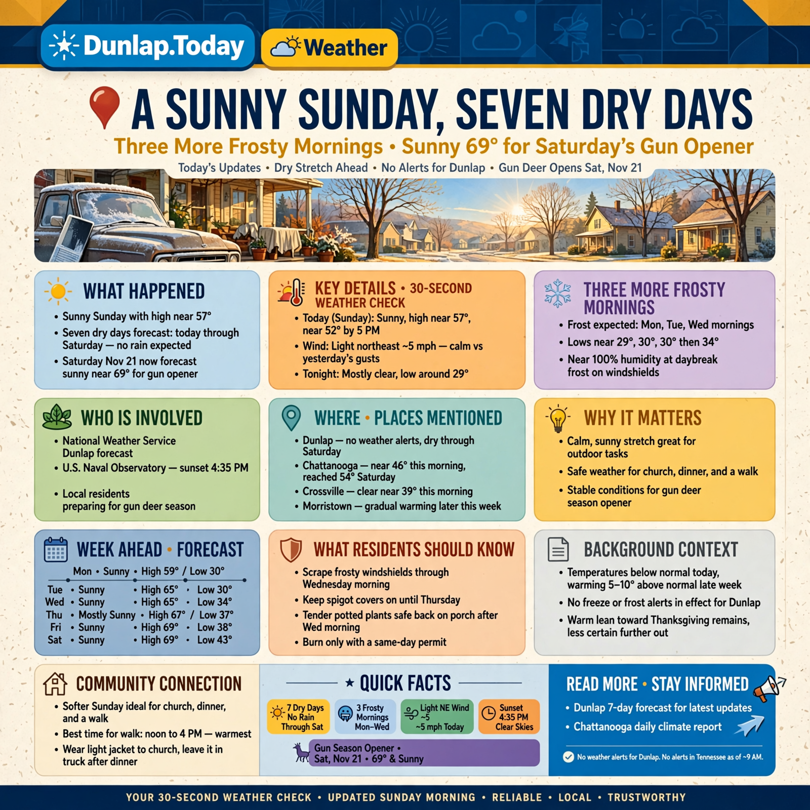
Good Sunday morning, Valley. It’s a calm, sunny start: around 8:30 this morning Chattanooga was near 46 and Crossville was clear near 39. Here’s the short version, with today’s updates marked: sunny today with a high near 57. There are no weather alerts for Dunlap, and the weather service’s alert feed showed none anywhere in Tennessee this morning. Dunlap’s forecast shows no rain at all from today through Saturday. You’ll scrape three more frosty windshields (Monday, Tuesday and Wednesday mornings), and then the frost takes a break. Update: Saturday, Nov. 21 — opening day of gun deer season — is now in the forecast, and it looks sunny, near 69. Further out, the warm lean toward Thanksgiving holds, but forecasters are a little less sure of it.
⏱️ Your 30-Second Weather Check
- Today (Sunday): Sunny, high near 57, about 52 by 5 p.m. Light northeast wind.
- Tonight: Mostly clear and calm, low around 29.
- Monday–Wednesday: Sunny, highs 59, 63 and 65. Lows near 30, 30, then 34.
- Thursday–Saturday: Mostly sunny to sunny, highs 67, 69 and 69. Lows 37, 38 and 43.
- Rain: None in Dunlap’s forecast through Saturday.
- Alerts: None for Dunlap. None in Tennessee as of about 9 a.m.
- Remember: Frosty windshields through Wednesday. Burn only with a same-day permit. Gun deer opens Saturday, Nov. 21.
☀️ Today: A Softer Sunday for Church, Dinner and a Walk
Dunlap’s National Weather Service forecast calls for a sunny Sunday with a high near 57 (update: two degrees warmer than yesterday’s forecast) and a light northeast wind around 5 mph. The hourly forecast shows about 44 at 9 a.m., 55 at noon, 57 at 3 p.m., then 52 at 5 p.m. and 43 by 7 p.m. Sunset is 4:35 p.m., according to the U.S. Naval Observatory. For comparison, Chattanooga reached only 54 on Saturday, with north wind gusts up to 26 mph. Today’s wind is much gentler.
What it means for you: Yesterday the wind had a bite; today it’s more like a cat curled up on the porch rail: quiet and sunny. Wear a light jacket to church, leave it in the truck after dinner, and get your walk in between noon and 4, when it’s warmest. Grab the coat again before the porch light comes on.
👉 Read more (Dunlap 7-day forecast) · Chattanooga daily climate report
🥶 Three More Frosty Mornings, Then the Frost Takes a Break
Dunlap’s forecast has lows near 29 tonight, then 30 Monday night and 30 Tuesday night (update: a degree milder than yesterday’s 29s). The hourly forecast shows the air near 100 percent humidity around daybreak Monday, Tuesday and Wednesday, with temperatures near 30 to 31 — good frost-on-the-windshield weather. After that, lows climb to 34 Wednesday night, 37 Thursday night, 38 Friday night and 43 Saturday night. Morristown’s forecasters say temperatures stay below normal today, then warm gradually and run 5 to 10 degrees above normal by the second half of the week. No freeze or frost alerts are in effect for Dunlap.
What it means for you: It’s like the last few bites of a cold supper: you’re almost done. Keep the scraper by the door through Wednesday morning, give the windshield a few minutes to clear, and keep the spigot covers on until Thursday. After Wednesday morning, tender potted plants can probably go back on the porch.
👉 Read more (Dunlap 7-day forecast) · Morristown forecast discussion
🐄 Seven Dry Days: Good for Chores, Hard on the Water Trough
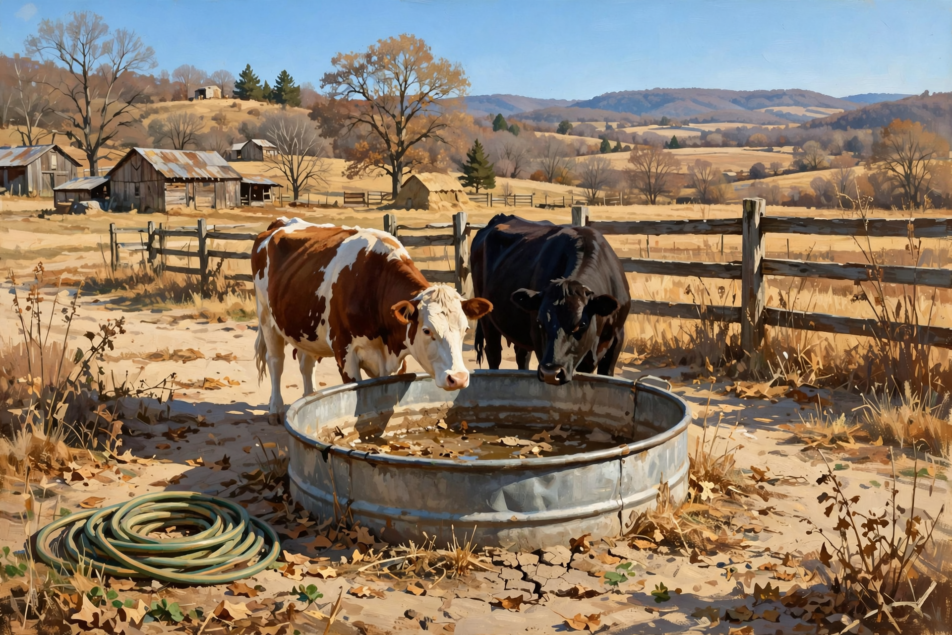
Morristown’s forecast discussion this morning calls for “an extended period of dry weather” under strong high pressure, adding that it’s “a pretty quiet forecast period.” Dunlap’s forecast lists a 0 percent rain chance every day and night from today through Saturday. The rain ledger is mixed: Chattanooga’s November rain stands at 1.96 inches, right at normal for the month so far, but it’s 4.43 inches behind since Sept. 1 and 10.61 inches behind for the year. The next U.S. Drought Monitor map comes out Thursday, Nov. 19.
What it means for you: This is a “get it done” week, like a long run of clear days at haying time. Ground stays firm for hauling, fence mending and gutter cleaning. Just remember that dry air and sunshine drain stock tanks and pots faster than you’d think. Check water troughs and pet bowls daily, and give newly planted trees, shrubs and fall garlic a slow, deep drink midweek.
👉 Read more (Morristown forecast discussion) · U.S. Drought Monitor: Tennessee
🔥 Burn Piles: Today Is “Fair,” Monday’s Smoke Hangs Low
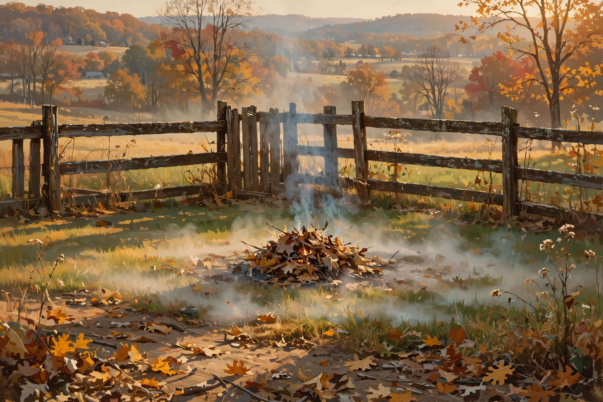
This morning’s fire-weather forecast for the Sequatchie County zone (Dunlap, Cagle, Cartwright, Lone Oak), issued at 12:40 a.m. CST, rates smoke dispersion “Fair” today, with afternoon humidity around 41 to 46 percent and light wind. Tonight is “Very Poor.” New: Monday rates only “Generally Poor,” meaning smoke won’t rise well. For the rest of the week, the forecast lists afternoon low humidity of 37 percent Tuesday, 36 Wednesday, 43 Thursday, 42 Friday and 41 Saturday, with winds under 10 mph. From Oct. 15 through May 15, Tennessee requires a free burn permit for leaf and brush piles; get it the day you burn at BurnSafeTN.org or 877-350-BURN. The state’s burn-ban page says there are no active burn bans in Tennessee. Permits are issued only when conditions allow, and city rules can be stricter.
What it means for you: A big high-pressure system is like a lid on the skillet: it keeps the weather calm, but it can also keep smoke close to the ground. If you burn, today’s afternoon is the better pick, and keep piles small. Tuesday and Wednesday are the driest afternoons, when leaves catch fast. Another option this week: run the mower over the leaves and use them as mulch.
👉 Read more (BurnSafeTN free permits) · Fire-weather forecast · Tennessee burn bans
🦌 Hunters: Saturday’s Gun Opener Is in the Forecast, and It’s Warm
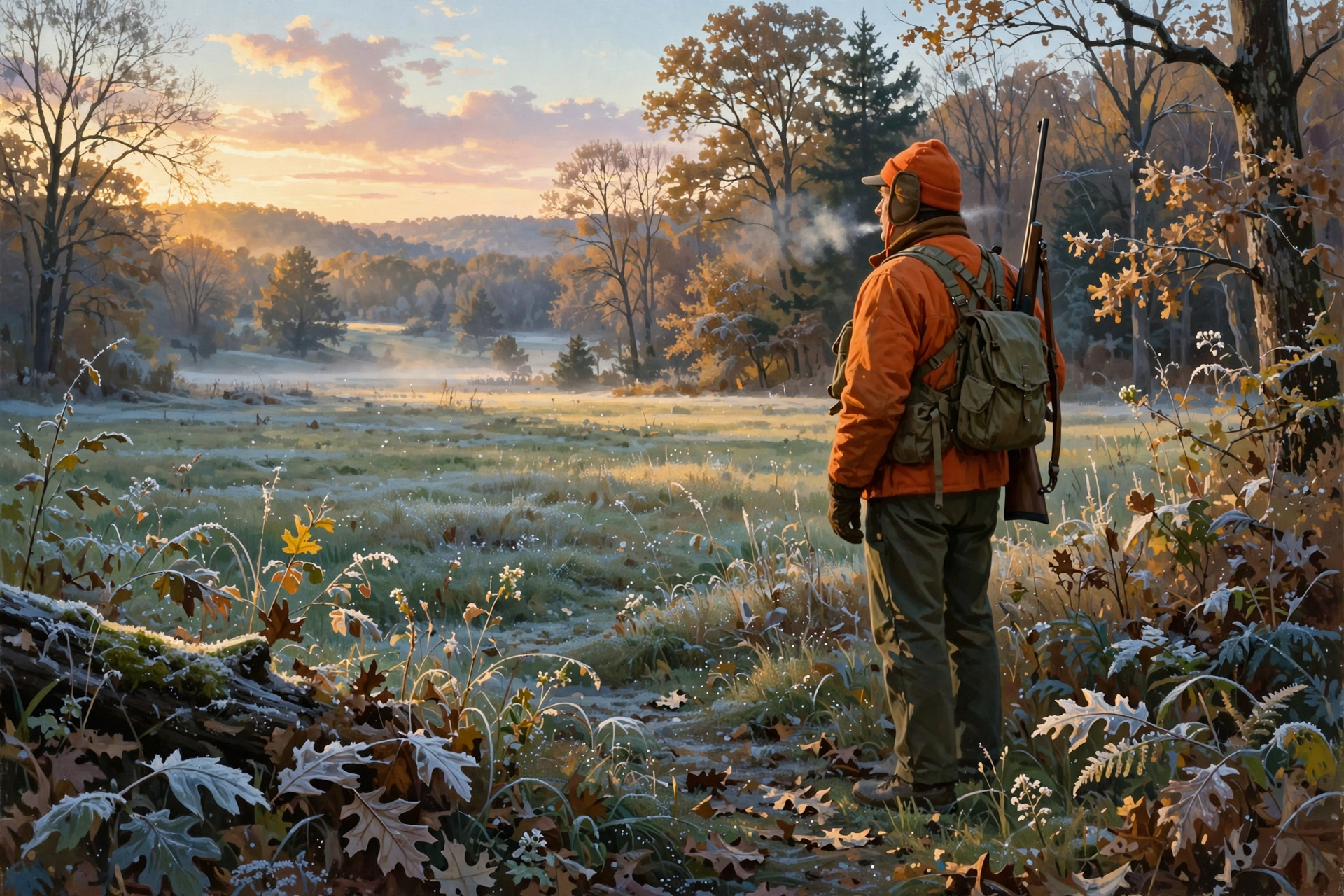
Update: Dunlap’s forecast now reaches Saturday, Nov. 21, opening day of TWRA’s statewide gun/muzzleloader/archery deer season, which runs through Jan. 3. It calls for sunny skies and a high near 69. The hourly forecast shows about 39 at 6 a.m., 42 at 7 a.m., 53 at 9 a.m. and 67 by noon, with light wind. Sunrise that day is 6:23 a.m. Before then, from TWRA’s season summary: the private-lands straight-walled cartridge segment and the muzzleloader/archery segment both end Friday, Nov. 20, the same day fox, mink, muskrat, otter, least weasel and statewide bobcat seasons open. New on our radar: TWRA’s late application period for its wildlife-management-area duck hunts (hunt days Jan. 12–31) runs Nov. 18 through Dec. 8.
What it means for you: Opening morning will feel like a cool spring dawn, and the afternoon will feel like early October. Dress in layers you can peel and carry, wear blaze orange as required during gun season, and wear your harness in the stand. With highs in the upper 60s, plan ahead to cool any deer quickly: bring ice or know where the nearest cooler is.
👉 Read more (TWRA seasons summary) · Naval Observatory sunrise and sunset
🏫 The School Week: A Chilly Monday Bus Stop, T-Shirt Afternoons by Friday

Dunlap’s hourly forecast has the bus stop near 30 at 7 a.m. Monday (update: colder than the 33 shown yesterday), then 34 Tuesday, 36 Wednesday, 40 Thursday and 42 Friday, all sunny or mostly sunny with almost no wind. By 3 p.m., it’s about 59 Monday, 62 Tuesday, 64 Wednesday, 66 Thursday and 68 Friday. That’s a swing of nearly 30 degrees between the morning bus and the afternoon bus.
What it means for you: Dress kids like an onion, in layers they can peel. Send a warm coat Monday morning, and expect it to come home over an arm. A quick “Where’s your jacket?” at the door every afternoon will save a trip to the lost-and-found.
👉 Read more (Dunlap forecast) · Sequatchie County Schools
🌠 Quick Update: Tuesday Night’s Shooting Stars Still Look Clear

Update on the Leonid meteor shower, which peaks around Nov. 17: Dunlap’s forecast for Tuesday night is still clear, with a low around 30. The U.S. Naval Observatory shows the Moon setting at 11:49 p.m. Tuesday, so the darkest skies come after midnight.
What it means for you: Same plan as yesterday, just bundle up a little more: a lawn chair, a blanket and a thermos after midnight, or a few minutes on the porch before dawn Wednesday.
👉 Read more (NASA: Leonids) · Naval Observatory moonset times
🔭 Looking Further Out: Mild Toward Thanksgiving, With Less Certainty
Update: the federal Climate Prediction Center’s newest outlooks, issued Saturday, still lean Tennessee toward above-normal temperatures for Nov. 20–24 and Nov. 22–28. For precipitation, Tennessee leans near normal for Nov. 20–24 and above normal for Nov. 22–28, a window that includes Thanksgiving Day, Nov. 26. Confidence dropped to 3 out of 5 for both (it was 4 out of 5). Forecasters expect a storm system to deepen near the Gulf Coast, with the best odds of extra rain along the coastal Southeast. These are statewide and regional odds, not a Dunlap forecast.
Plan-ahead idea (statewide): Tennessee State Parks is holding free ranger-led Day After Thanksgiving Hikes on Friday, Nov. 27. Nearby listings include Harrison Bay (9 to 10 a.m.) and North Chickamauga Creek Gorge (9 a.m. to noon). Most hikes ask you to register first.
What it means for you: Use this dry week for outdoor jobs. If you’re driving to Georgia or Florida for Thanksgiving, keep an eye on the forecast for rain on the road. It’s too early for details, so check back.
👉 Read more (Climate Prediction Center discussion) · Tennessee State Parks: Day After Thanksgiving Hikes
✅ Your Sunday-to-Saturday Checklist
- ☐ Today: Sunny, near 57. Best walk between noon and 4. Sunset 4:35.
- ☐ Burning: Free same-day BurnSafeTN permit first. Today’s afternoon is the better pick. Skip Monday.
- ☐ Monday (Nov. 16): Bus stop near 30. Warm coat, scraper by the door.
- ☐ Tuesday night: Leonid meteors after the Moon sets at 11:49 p.m. Clear, near 30.
- ☐ Wednesday morning: Last frosty windshield for a while. Spigot covers can come off Thursday.
- ☐ All week: No rain. Check water troughs and pet bowls daily. Water new plantings midweek.
- ☐ Wednesday (Nov. 18): TWRA late duck-hunt applications open (through Dec. 8).
- ☐ Friday (Nov. 20): Near 69. Furbearer and statewide bobcat seasons open.
- ☐ Saturday (Nov. 21): Gun deer opener. About 42 at 7 a.m., near 69 by afternoon. Blaze orange, harness, ice for the cooler.
The rule to remember: Scrape through Wednesday, water through Saturday, and burn small, with a same-day permit, only when the smoke can rise.
— Dunlap.Today
📚 Plain-English Weather Glossary
- High pressure: A big area of sinking air that brings calm, dry, sunny weather. It can also trap smoke and haze near the ground.
- Smoke dispersion: How well the air carries smoke up and away. “Fair” is so-so; “Generally Poor” and “Very Poor” mean smoke hangs low.
- Relative humidity (RH): How much moisture is in the air. In the 30s, dead leaves dry out and burn fast. Near 100 percent on a cold, clear night, frost forms.
- Frost: Ice crystals that form on cold surfaces like windshields and grass, even when the air is a little above 32.
- Rain ledger: Our nickname for how far ahead or behind normal rainfall is, from the Chattanooga airport’s daily climate report.
- 6–10 and 8–14 day outlooks: Odds of warmer or colder, wetter or drier than normal. They’re leanings, not exact forecasts. Confidence is rated 1 to 5.
❓ Frequently Asked Questions
Will it rain at all this week?
Not according to Dunlap’s forecast, which shows a 0 percent rain chance from today through Saturday, with only a 3 percent chance Saturday night. Morristown’s forecasters expect an extended dry stretch.
How many more frosty mornings are there?
Three: Monday, Tuesday and Wednesday mornings, with lows near 29 to 30 and temperatures near 30 to 31 around daybreak. Lows climb to 34 and higher after that.
What’s the weather for the gun deer opener on Saturday, Nov. 21?
Dunlap’s forecast calls for sunny skies and a high near 69, with about 42 at 7 a.m. and 67 by noon. Sunrise is 6:23 a.m. It’s still six days out, so check back for changes.
Is it a good week to burn brush?
Only with a free same-day permit from BurnSafeTN.org or 877-350-BURN, when permits are being issued. There’s no active burn ban. Today’s smoke lift is “Fair”; Monday’s is “Generally Poor,” and Tuesday and Wednesday afternoons are the driest.
Is Thanksgiving going to be warm?
The Climate Prediction Center leans Tennessee warmer than normal for Nov. 22–28, with a lean toward extra rain, but its confidence is only 3 out of 5. That’s a statewide lean, not a forecast for your table.
Can I still see the Leonids?
Yes. The peak is around Nov. 17. Tuesday night looks clear and near 30, and the Moon sets at 11:49 p.m., so after midnight is darkest.
🔗 Other Resources
- National Weather Service: Dunlap forecast
- National Weather Service Morristown
- Hazardous Weather Outlook
- Morristown forecast discussion
- Morristown fire-weather forecast
- Chattanooga daily climate report
- Climate Prediction Center 6–10 day outlook
- U.S. Drought Monitor: Tennessee
- BurnSafeTN: free burn permits
- Tennessee burn bans
- TWRA hunting seasons summary
- Tennessee State Parks: Day After Thanksgiving Hikes
- TDOT SmartWay road conditions
- Sequatchie Valley Electric outage information
- Naval Observatory sunrise, sunset and moonset
🌤️ A Quiet, Sunny Week — Enjoy It
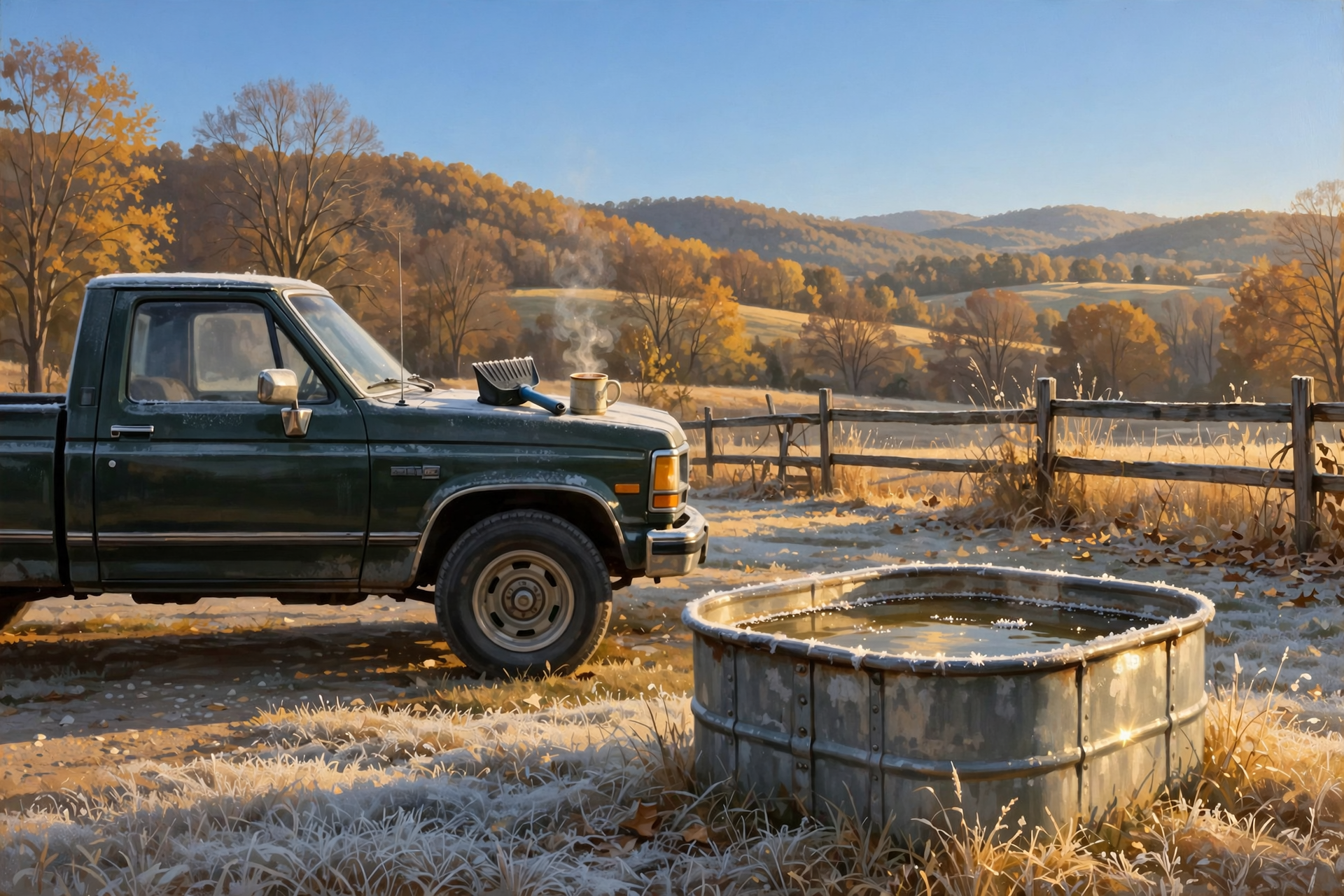
Some weeks keep you on your toes. This one won’t: a few frosty mornings, a lot of sunshine, no rain and a warm, bright opening day for hunters on Saturday. Keep the scraper handy, keep the water troughs full, and enjoy getting outside.
We’ll keep watching the sky so you don’t have to. Read Dunlap.Today for calm, practical weather in plain English.
Sources
Know about an upcoming event or story in the Dunlap, TN area? Submit it here.




0 Comments