
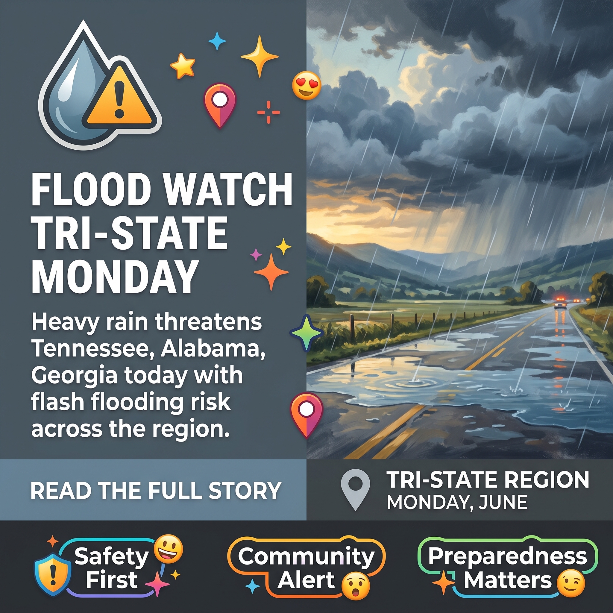
🌧️ Flood Watch in Effect for Sequatchie Valley and Tri-State Region Monday, June 8
As summer weather patterns intensify across the Sequatchie Valley, residents in Tennessee, Alabama, and Georgia are being urged to prepare for a significant rain event today. The tri-state flood watch underscores how quickly conditions can shift in the region during this season, with scattered but potentially heavy downpours expected throughout the day.
A Flood Watch remains in effect for the entire tri-state area through this evening due to the risk of heavy rainfall and localized flash flooding. 🚨 According to Chase Bryant Weather, scattered rain and storms will develop throughout Monday, with rainfall rates potentially reaching 1 to 3+ inches per hour in areas where storms develop. The scattered nature of the storms means rainfall amounts will vary drastically from location to location, so not all residents will experience the same precipitation levels.
Residents living in low-lying or flood-prone areas should be prepared to move to higher ground if necessary. ⚠️ Authorities emphasize the critical safety message: never drive through a flooded road. If you encounter standing water on roadways, turn around and find an alternate route.
📅 Extended Forecast and Additional Rain Chances
Another chance for scattered rain and storms is expected Tuesday, with locally heavy rainfall possible again where storms develop. Rain chances will continue on a spotty to scattered basis Wednesday through Sunday, though some dry periods are anticipated during this window. ☀️ Temperatures will gradually warm this week, climbing from the low 70s to low 80s today to near 90 degrees Wednesday through the weekend.
🎵 Bonnaroo Festival Weather Outlook
For those attending Bonnaroo in Manchester this Thursday through Sunday, the weather outlook is more favorable than last year’s washout conditions. 🎪 While pop-up rain showers or storms could occur at any time during afternoon and evening hours, Friday afternoon and evening presents the best chance for rain and storms that could affect the festival. Overall, attendees should expect more manageable conditions than 2025, though weather preparedness remains recommended.
Source: Monday (6/8) Weather Update: Be on the lookout for locally heavy rainfall in areas.
Related Businesses
Chase Bryant Weather
Chase Bryant Weather is directly cited in the article as the source providing the scattered rain and storm forecasts with rainfall rates of 1-3+ inches per hour for the Sequatchie Valley tri-state region. Follow him online and on social media to get the latest, breaking weather.
Erlanger Sequatchie Valley Emergency Department
As a critical healthcare resource for the Sequatchie Valley, this emergency department would be essential for residents affected by flood-related injuries or medical emergencies during the heavy rainfall event.
Sequatchie Valley Construction
Construction companies are directly relevant to flood recovery and damage assessment, as flooding often requires structural repairs and restoration work in affected homes and properties.
Valley Plumbing & Electric
Plumbing and electrical services are critical for flood damage restoration, as flooding commonly damages electrical systems and plumbing infrastructure requiring emergency repairs.
Sequatchie County Highway Office
The Highway Office maintains roadways and would be responsible for managing road closures and alternate routes during the flood event, directly supporting the article’s safety message about flooded roads.



0 Comments