
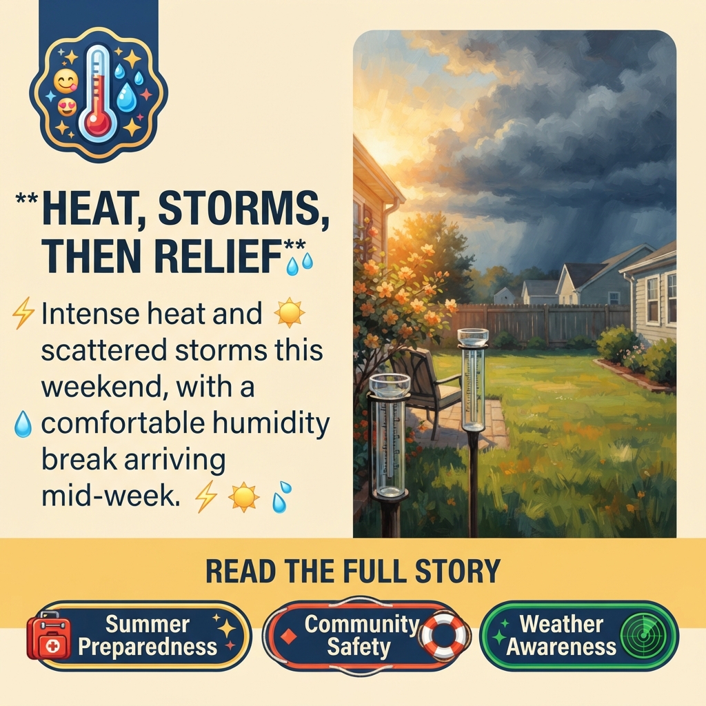
🌡️ Hot, Humid July Days Ahead With Scattered Storms and a Mid-Week Humidity Break
As the Tennessee Valley enters the heart of summer, residents across the tri-state region (Tennessee, Alabama, and Georgia) are bracing for typical July weather patterns—intense heat paired with the unpredictable afternoon storms that define summer in the Sequatchie Valley and surrounding areas. According to Chase Bryant Weather, our favorite local weather forecaster, the next several days will test how communities prepare for and respond to seasonal weather challenges.
📍 What to Expect This Weekend and Early Next Week
Today through Sunday will bring the classic summer weather pattern residents know well: highs in the upper 80s to low 90s with a mix of sun and clouds. 🌤️ The real story, though, is the afternoon and evening rain and storms that will develop each day. While most storms will be typical summer showers, there’s a low chance that some could become strong or severe, with strong winds as the primary threat.
One detail worth noting: locally heavy rainfall is possible where storms stall or move slowly, which means isolated flash flooding can’t be ruled out in affected areas. This is the classic “hit or miss” summer pattern—some neighborhoods may see significant rain while others nearby stay dry. 💧
The first half of next week (Monday through Tuesday) will continue the hot and humid trend with highs in the low 90s and more spotty afternoon and evening storm chances affecting only some areas.
✨ A Humidity Break on the Horizon
The forecast shows a potential pattern shift mid-week. A cool front is expected to move through the area Wednesday through Friday of next week, which could bring a noticeable drop in humidity—a welcome relief after days of sticky summer conditions. If the forecast holds, residents can expect average highs near 90 degrees, which would feel noticeably more comfortable than the current humidity levels. 🌬️
💡 What Residents Should Know
Timing: The next three days (Friday through Sunday) each carry afternoon and evening storm chances. Storms could develop anytime from mid-afternoon through evening hours.
Flash Flooding Risk: While isolated, flash flooding is possible where storms develop and move slowly. Residents in flood-prone areas or near creeks and low-lying roads should stay weather-aware.
Humidity Relief: Watch for the pattern change mid-week (Wednesday through Friday of next week) when lower humidity should arrive with a cool front.
🏘️ Why This Matters for the Community
Summer weather patterns directly affect daily life in the Sequatchie Valley. Farmers and gardeners depend on understanding when rain will arrive and how much. Outdoor workers, families planning weekend activities, and event organizers all adjust plans based on storm chances. The unpredictable “hit or miss” nature of summer storms means some residents will see much-needed rain while others won’t—a reality that affects water availability, lawn care, and outdoor plans differently across the valley. 🌾
The potential humidity break mid-week is significant for residents managing heat-sensitive activities, elderly family members, or outdoor work. Even a few degrees cooler with lower humidity can meaningfully improve comfort and safety during the hottest part of the year.
🤔 Questions Worth Considering
- Are your gutters, downspouts, and drainage areas clear and ready for heavy rainfall if storms stall over your area?
- Do you have a weather alert system set up on your phone to catch warnings about strong or severe storms?
- If you work outdoors or spend significant time outside, how will you adjust your schedule or hydration routine during the low-90s heat?
- Are there neighbors, elderly residents, or family members who may need extra support staying cool during the next few days of high humidity?
📅 What Happens Next
Residents should monitor weather updates through the weekend and early next week. The key milestone to watch is mid-week, when the cool front is expected to arrive and bring that humidity relief. Weather forecasts can shift, so checking updates regularly—especially before outdoor plans—will help residents make the best decisions for their families and activities. 📱
The pattern change mid-week could also affect storm chances, so the second half of next week may bring drier conditions alongside the lower humidity.
Follow Chase Bryant Weather on Facebook and his other feeds for current, breaking forecasts and weather.
🌄 A Seasonal Reminder
This forecast is a reminder of how summer weather shapes life in the Tennessee Valley. The combination of heat, humidity, and unpredictable storms is part of the region’s seasonal rhythm. Communities that prepare—keeping drainage clear, staying weather-aware, and checking on neighbors during heat—navigate these days more safely and comfortably. The promise of a humidity break mid-week gives residents something to look forward to as they move through the hottest stretch of July. ☀️



0 Comments