
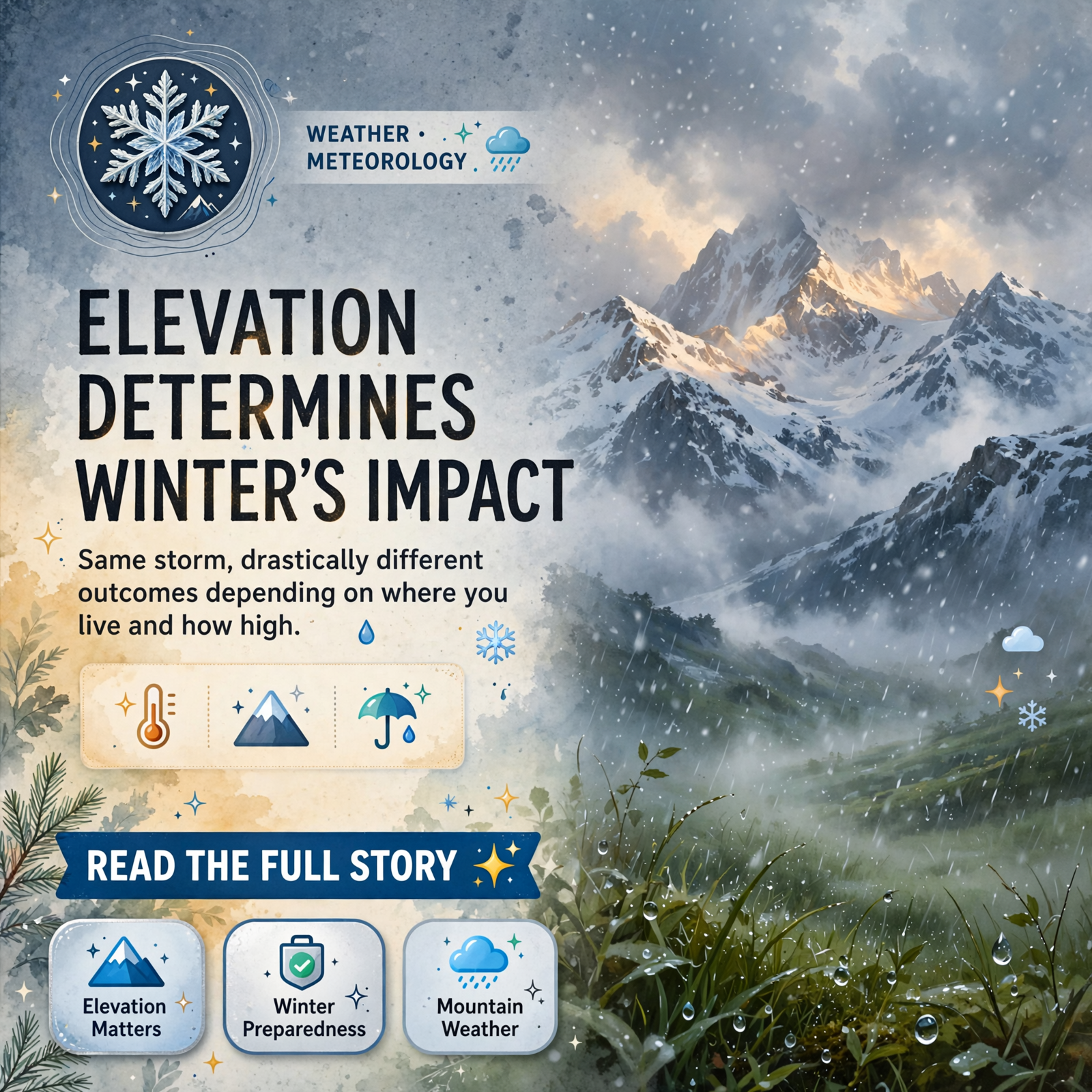
❄️ Snow Flurries and Rain Expected Friday Night Across Tennessee Valley and Smokies
As temperatures drop into the 30s Friday evening, the tri-state region faces a mixed precipitation event that will play out very differently depending on elevation and geography. Chase Bryant Weather has released a detailed forecast showing how the classic mountain shadow effect will protect valley communities while higher peaks see accumulation.
📍 What to Expect by Region
The Plateau and Upper Cumberland-including areas around Dunlap, Spencer, McMinnville, and Crossville-will see scattered rain mixing with flurries and bursts of snow showers Friday evening into Friday night. 🌧️ However, little to no accumulation is expected, and impacts should remain minimal. Temperatures will drop into the 30s with northwest wind flow driving the moisture.
Valley communities from Sequatchie County through the broader valley floor will fare even drier, thanks to what forecasters call the “shadow effect” from surrounding mountains. 🏔️ The northerly flow of moisture combined with the protective geography means these areas will stay mainly dry with perhaps a few spotty rain showers. Temperatures in the valleys will remain slightly warmer, hovering in the 40s.
The story changes dramatically in the Great Smoky Mountains. Above Gatlinburg and at elevations above 3,000 feet, significant snow accumulation is forecast. Mt. Leconte, Newfound Gap, and Kuwohi are expected to receive 4 to 6 inches, with higher amounts possible on the highest peaks. ⛷️ Thunderhead Mountain will see 2 to 3 inches, while the Cherohala Skyway and Cove Mountain areas will receive lighter accumulations of 1 to 0.5 inches respectively.
In North Georgia and Northeast Alabama, conditions will remain mostly dry, with perhaps a sprinkle or flurry in mountain areas and maybe a flurry or two high in the Blue Ridge. 🌨️
🗓️ Timing and What Residents Should Know
The event unfolds Friday evening into Friday night, November 13th, with the heaviest snow in the Smokies falling Friday afternoon through Saturday morning. For residents in the Dunlap area and surrounding valleys, this means minimal disruption-mainly just cooler temperatures and the possibility of a brief rain shower or two. Those planning travel to higher elevations or the Smokies should be aware of snow accumulation and adjust accordingly.
The forecast demonstrates how dramatically terrain shapes weather across the region. 🌄 The same storm system that brings flurries to the Plateau delivers significant snow to the high Smokies, a reminder of the complex interplay between elevation, wind direction, and mountain geography that defines weather in the Tennessee Valley tri-state area.
🤔Source
Chase Bryant Weather – A local weather forecast detailing upcoming snow flurries, rain, and temperature drops across the Plateau, Smokies, and surrounding valleys.
Know about an upcoming event or story in the Dunlap, TN area? Submit it here.



0 Comments