

🌤️ Halloween Trends Drier for Trick-or-Treat, Sunday Turns Soggy, and the Rain Sticks Around Into Next Week: Your Dunlap Weather & Outdoors Week
Or: Three More Dry Days, a Warm Friday Near 79, Better Odds for the Candy Rounds and the Rain the Valley Has Been Waiting On
By Thomas Seest, Dunlap.Today · Wednesday, October 28, 2026
Good Wednesday morning. Weather Service airport sensors showed both Crossville and Chattanooga at about 54 degrees under clear skies just before 9 this morning. High clouds overnight kept most of the fog away, Morristown’s forecasters said. Dunlap’s forecast calls for a partly sunny day with a high near 74 and hardly a breath of wind. The sun came up about 6:59 and sets about 5:51.
Here’s what changed since yesterday, short and sweet. Today through Friday stay dry, and Friday is now the warmest day, near 79. Halloween got friendlier: the shower chance during trick-or-treat dropped to about 18 percent before 7 p.m. and about 35 percent after. Sunday, Nov. 1 is the rainy day, about 80 percent, with a cooler high near 65. New this morning: shower chances hang around Monday and Tuesday. Morristown’s Hazardous Weather Outlook expects no hazardous weather through next Tuesday, and there were no watches, warnings or advisories for Dunlap this morning. No burn bans, and clocks fall back at 2 a.m. Sunday.
⏱️ What this means for you in 30 seconds
- Today: Partly sunny, high near 74. Tonight mostly clear, near 46.
- Thursday and Friday: Dry. Highs 76 and 79. Bus-stop mornings in the upper 40s.
- Halloween, Sat. Oct. 31: About 69 at 6 p.m. Shower chance about 1 in 5 until 7, about 1 in 3 after. Still smart to go early.
- Sunday, Nov. 1: Rain, about 80 percent. High near 65. Umbrella for church.
- Monday and Tuesday: Chance of showers, 30 to 40 percent. Highs near 70.
- Remember: Bow deer and fall turkey end Friday. Clocks go back Saturday night.
🎃 Halloween Update: The Shower Odds Backed Off, So the Candy Rounds Look Better
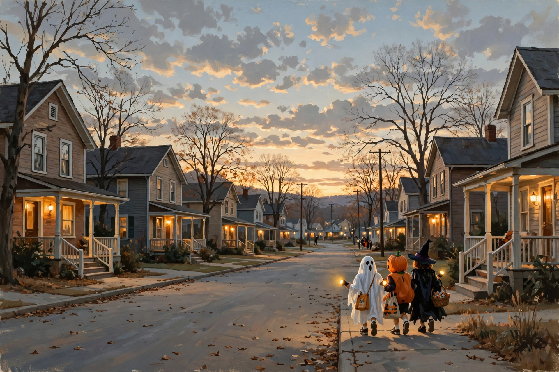
Yesterday’s forecast had shower chances near a coin flip after 7 p.m. on Halloween. This morning’s update, issued about 6:06 a.m. Central, eased them back. Saturday is now mostly cloudy with a high near 73 and “a slight chance of rain showers after 1pm,” about 20 percent. The hour-by-hour forecast has it about 69 degrees at 6 p.m., 67 at 7 and 64 at 8. The shower chance is about 18 percent each hour from 1 to 7 p.m., then about 35 percent each hour from 7 p.m. to midnight. Wind stays light in Dunlap.
One honest note from Morristown’s forecasters: the exact start time of the rain “remains uncertain, but the best chances for the evening of Halloween are in southeast Tennessee and the Plateau.” That’s our neck of the woods, so keep a little rain gear handy anyway.
What it means for you: Think of Saturday evening like a fish fry with a cloud or two out west. You don’t call it off. You just fry the first batch early. Head out near dark and plan to be home by about 7 or 7:30. Sunset is about 5:48 p.m. and it’s fully dark by about 6:14. A light jacket that fits under a costume will do, and flashlights or glow sticks beat candles every time. Trunk-or-treat hosts can probably keep things outdoors, but it never hurts to know where the covered spot is. Check once more Friday evening.
👉 Read more (Dunlap 7-day forecast) · NWS Morristown forecast discussion
🌧️ Sunday Is the Soaker: Rain Most of the Day, and a Cooler High Near 65
Dunlap’s forecast for Saturday night now reads: “A chance of rain showers before 1am, then showers and thunderstorms likely. Cloudy, with a low around 54.” Sunday, Nov. 1 is simply “Rain showers,” with a high near 65 and an 80 percent chance. That’s about eight degrees cooler than Saturday. The hourly forecast shows the best odds, about 78 percent, from about 6 to 11 a.m. Sunday, staying near 70 percent through the afternoon before easing Sunday night. Thunder chances top out around 15 percent, and Dunlap’s forecast keeps gusts in the low teens. Morristown’s forecasters wrote that strong winds are possible “in the mountains” as the system arrives, and that “rainfall is needed due to ongoing drought.”
The Weather Service’s forecast grid for Dunlap puts its early estimate near half an inch from Saturday afternoon through Sunday night.
What it means for you: Sunday is a good day to be like a cat on a cold morning: find a warm spot inside and let the weather do its work. Bring in cushions, lawn chairs and Halloween decorations before bed Saturday. Clear the gutters while it’s dry this week. Plan on an umbrella for church, and drive a little slower on wet roads, especially with leaves down.
👉 Read more (Dunlap 7-day forecast) · Hazardous Weather Outlook
☔ New This Morning: Showers Linger Into Monday and Tuesday
This time, the newest forecast doesn’t dry right out after the weekend rain. Dunlap’s forecast has “a chance of rain showers” Monday, Nov. 2 (about 30 percent, high near 70), Monday night (30 percent) and Tuesday, Nov. 3 (about 40 percent, high near 73). Morristown’s forecasters described a short break Monday “before another potential system by mid-week.” The forecast grid’s early rain estimate adds roughly another inch from Monday night through Wednesday afternoon. That number is a far-off guess and will change.
The federal Climate Prediction Center’s outlook issued Tuesday afternoon for Nov. 2 to 6 leans warmer and wetter than normal for Tennessee, with forecasters expecting “an expansive area of elevated above normal precipitation chances across the central and eastern” U.S.
What it means for you: After weeks of dry, this is like the well pump finally catching its prime: a little sputter, then steady water. Monday’s 7 a.m. bus stop looks mild, near 58, with about a 3-in-10 shower chance, so pack a hooded jacket instead of a heavy coat. Farmers, fields may stay soft into midweek, so get the tractor work done Thursday and Friday.
👉 Read more (Dunlap 7-day forecast) · Climate Prediction Center discussion
📅 Three Dry School Days, Ending With the Warmest One
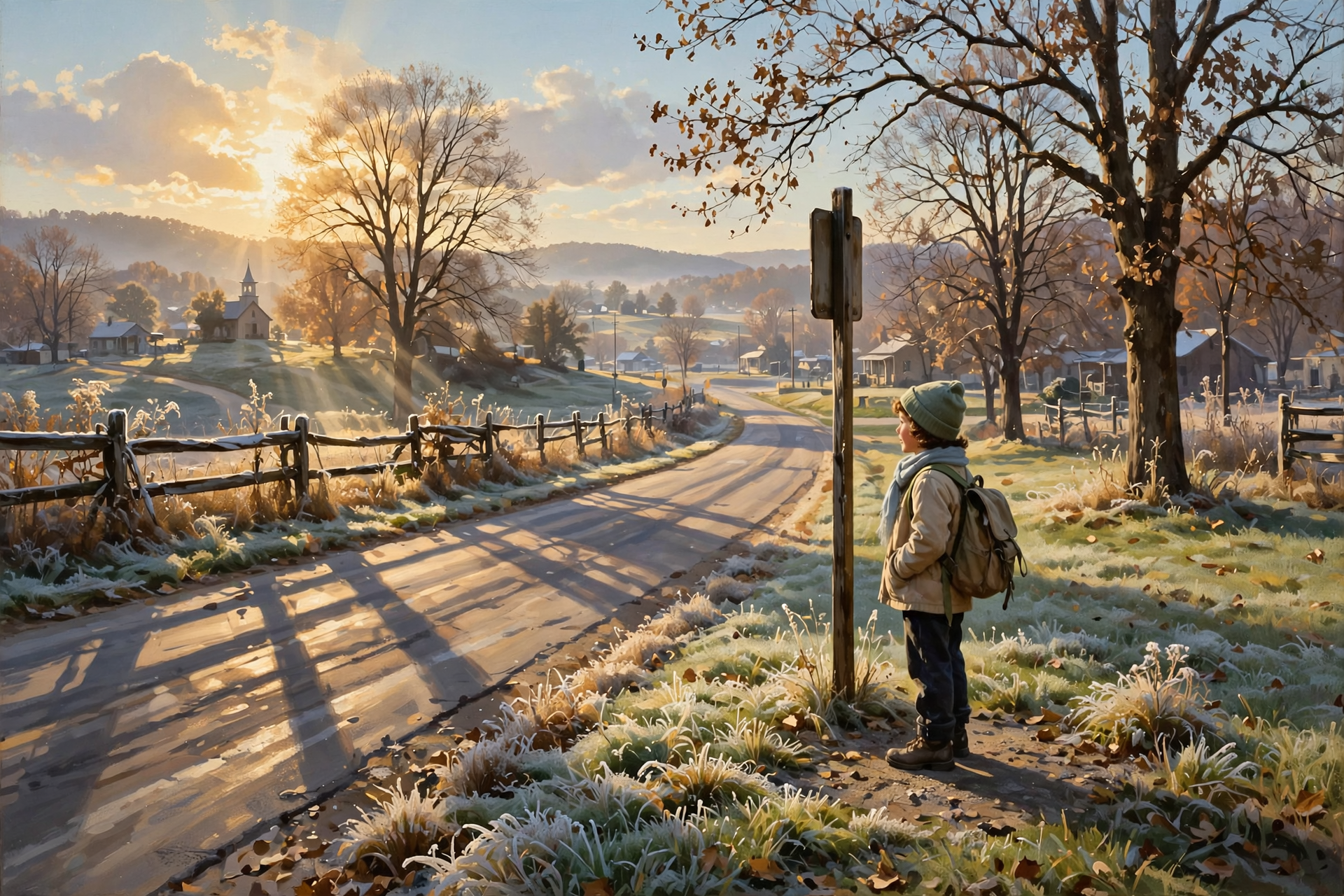
Morristown’s key message: “Dry conditions will continue for the next several days with mild highs in the 70s and seasonally cool lows in the 40s.” High pressure stays in charge through Friday. For comparison, a normal Oct. 28 at the Chattanooga airport is about 69 for a high and 46 for a low; Tuesday came in at 76 and 45. Dunlap’s point forecast:
- Today: Partly sunny, high near 74. Tonight: mostly clear, near 46, the coolest night of the week.
- Thursday: Sunny, high near 76. Night: mostly clear, near 47.
- Friday, Oct. 30: Mostly sunny, high near 79. Night: mostly cloudy, near 54.
What it means for you: These three days are like a good pair of boots: they start out stiff and cool and loosen up by noon. Thursday’s 7 a.m. bus stop is about 46 degrees, and by afternoon it’s in the mid-70s, so a zip-up layer that fits in the backpack is the ticket. Friday afternoon near 79 is shirt-sleeve weather for any fall festival, ballgame or yard work.
👉 Read more (Dunlap 7-day forecast) · Chattanooga daily climate report
🔥 Burn Piles: Friday Is the Kindest Day, and the Weekend Rain Is a Natural Deadline
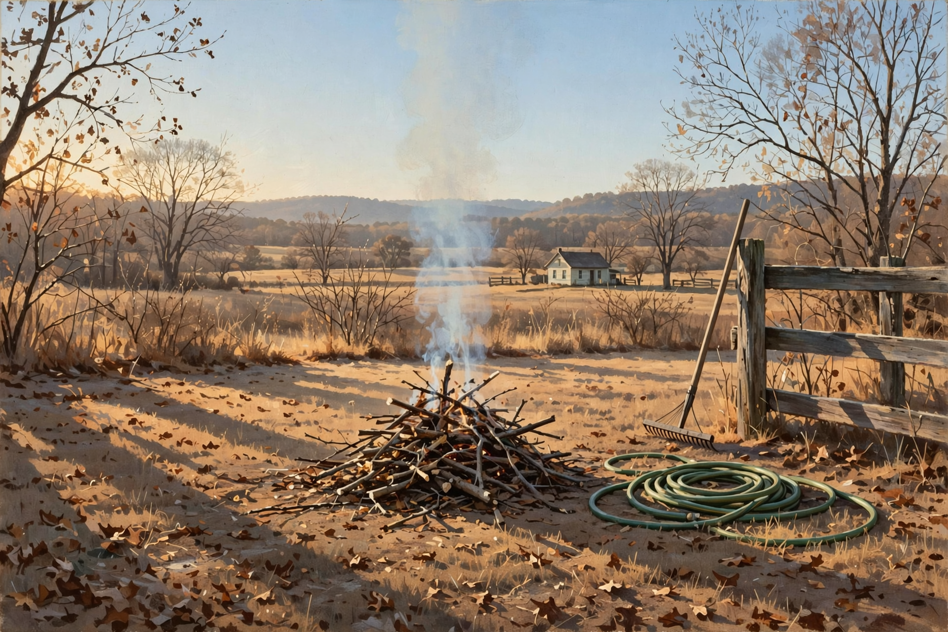
Morristown’s fire-weather forecast for the Sequatchie County zone, issued about 1:40 a.m., puts today’s lowest afternoon humidity at about 32 to 37 percent, the driest of the week, with light and variable winds. Thursday is about 35 to 40 percent, and Friday improves to about 41 percent. By Saturday, humidity doesn’t drop below about 63 percent. Overnight humidity recovery tonight is rated “excellent,” and forecasters again pointed to “very light winds.”
No Tennessee county was under a burn ban early this morning, according to the Division of Forestry’s burn-ban map as reported by TennesseeConditions.com at about 1:20 a.m. Central. This is a statewide rule: from Oct. 15 through May 15, you need a free same-day permit from the Division of Forestry for leaf and brush piles. Towns and some counties can have stricter rules of their own.
What it means for you: Think of burning like baking biscuits: the right oven, the right time, and somebody standing by. Friday is your best day this week, and the mid-morning hours are calmer than late afternoon. Get the permit at BurnSafeTN.org or call 1-877-350-BURN (2876) on weekdays. Keep the pile small, keep a hose and rake handy, and never walk off from it. Whatever you don’t burn by Friday can wait for the rain to pass.
👉 Read more (Morristown fire-weather forecast) · State burn-ban page · Tennessee burn permit rules
🦌 Hunters: Three Bow Days Left, a Dry Saturday for Young Hunters, and Dove Season Pauses Sunday
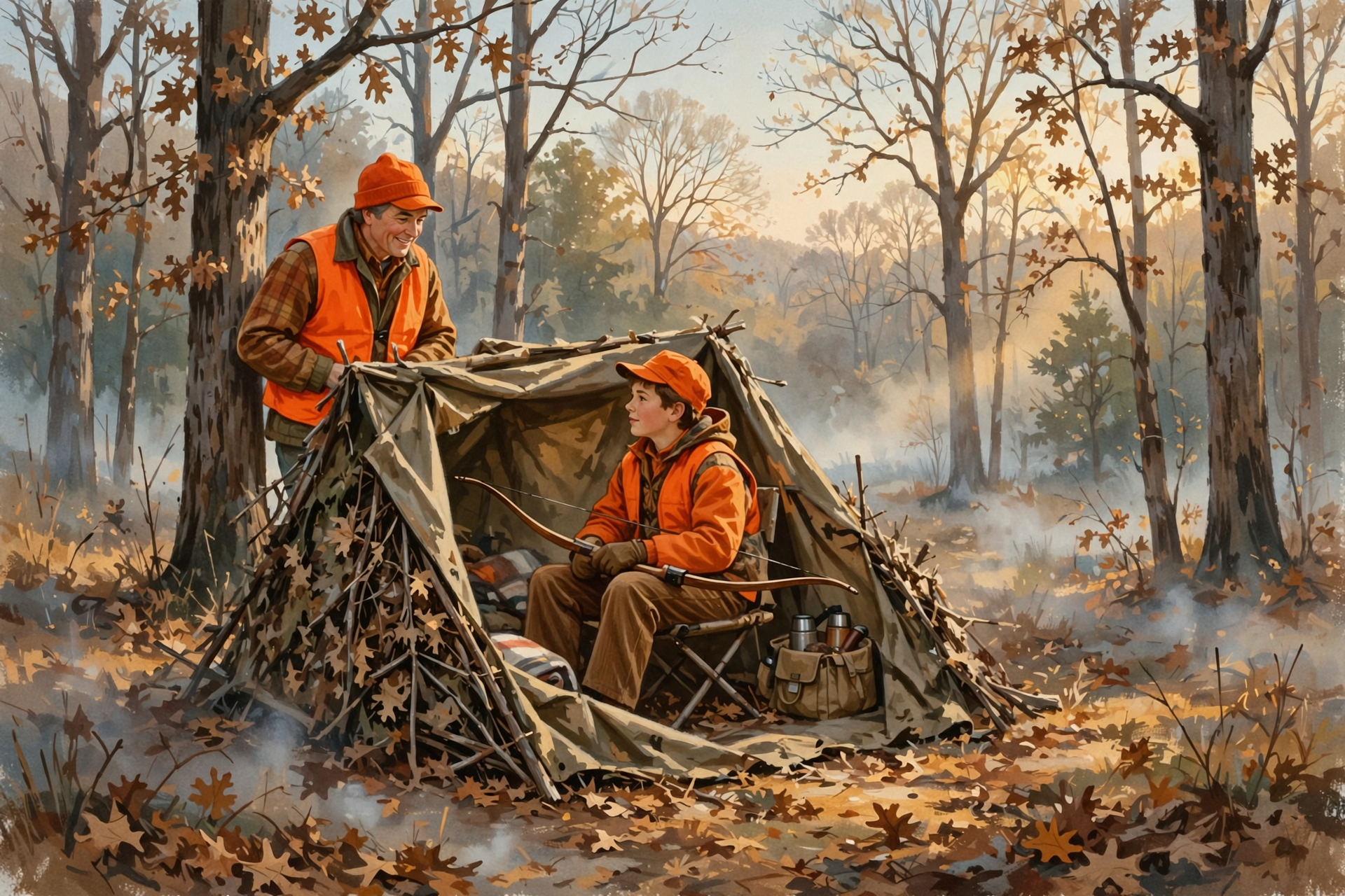
These dates come from TWRA’s statewide season summary and the Prentice Cooper State Forest page. Sequatchie County is in Deer Unit 4; Marion and Hamilton are in Unit 5.
- Through Friday, Oct. 30: Archery deer, archery-only fall turkey and shotgun/archery fall turkey all end. The fall turkey limit is one male bird for the season.
- Thursday–Saturday, Oct. 29–31: Prentice Cooper muzzleloader hunt. West of State Route 27 (Suck Creek Road) is hunters only; Edwards Point stays open.
- Saturday–Sunday, Oct. 31–Nov. 1: Statewide Young Sportsman deer hunt, ages 6–16, with a non-hunting adult 21 or older who also follows the orange or pink rules.
- Sunday, Nov. 1: Last day of the second dove season segment. It reopens Dec. 8. A Tennessee Migratory Bird Permit is required.
- Monday–Friday, Nov. 2–6: Archery deer and archery-only fall turkey reopen.
- Saturday, Nov. 7: Muzzleloader/archery deer opens statewide, and so do rabbit and quail.
What it means for you: Youth-hunt families got good news overnight. Saturday morning looks dry and mild, in the mid-50s at first light, so that’s the sit to circle. Sunday morning is the wettest stretch of the week. Bow hunters, the last three days are dry with light wind, and Friday’s near-79 afternoon means field-dress quickly and keep ice in the truck. Hikers, wear something bright in the woods this time of year.
👉 Read more (TWRA hunting seasons summary) · Prentice Cooper hunt dates
🕰️ Clocks Fall Back Saturday Night, and the Moon Waits Until the Kids Are Home
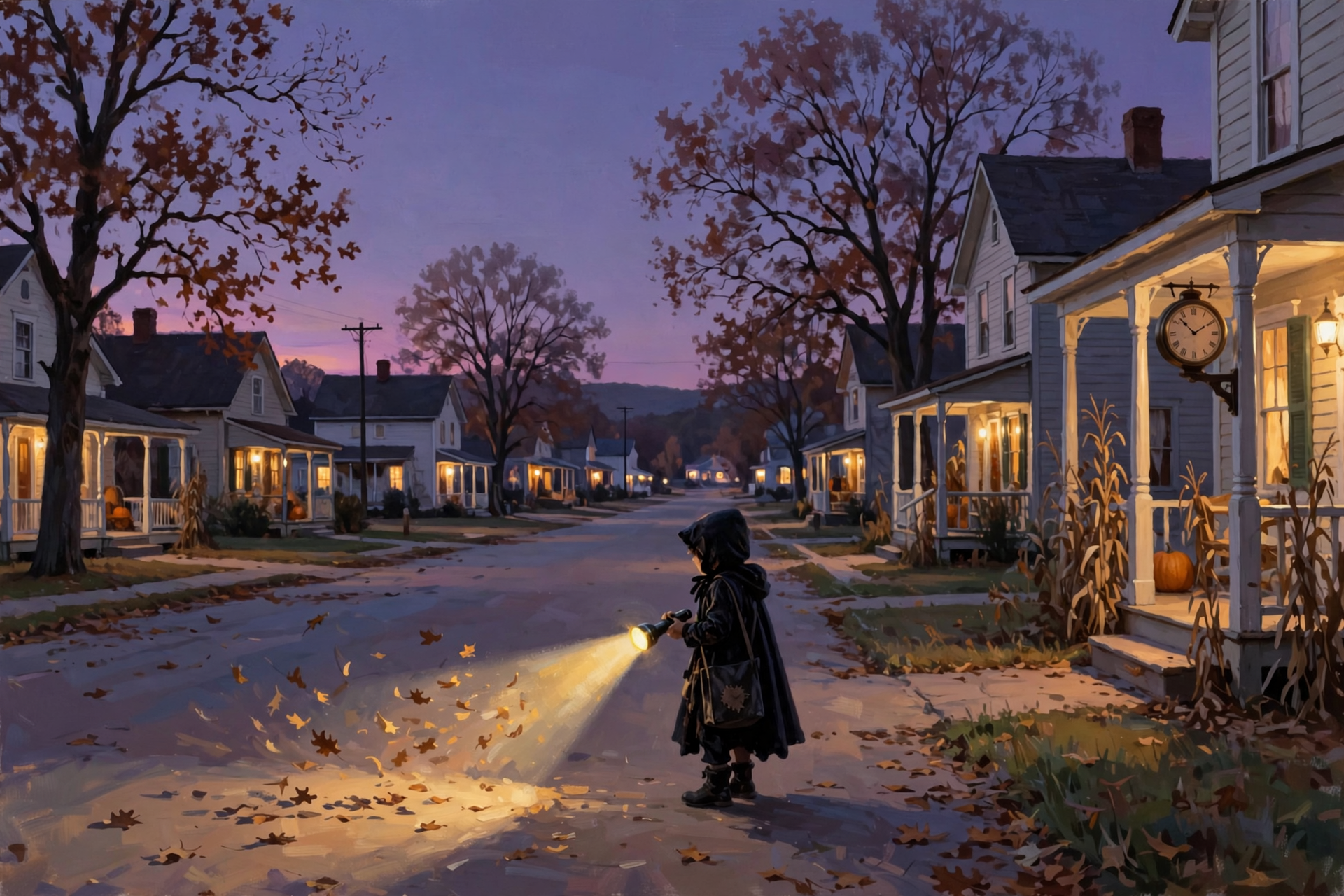
Daylight saving time ends at 2 a.m. Sunday, Nov. 1, when clocks turn back to 1 a.m. Based on Naval Observatory sun and moon tables for Dunlap (times are approximate):
- Today, Oct. 28: Sunrise about 6:59 a.m., sunset about 5:51 p.m.
- Halloween, Oct. 31: Sunset about 5:48 p.m. The waning moon, about two-thirds lit, doesn’t rise until about 11 p.m., so trick-or-treat is extra dark.
- Sunday, Nov. 1 (new time): Sunrise about 6:03 a.m., sunset about 4:47 p.m.
What it means for you: With no moon in the sky during trick-or-treat, reflective tape and a flashlight for every child matter more than usual. For the clocks, try this memory hook: porch light off, clocks back one. The phone handles itself; the stove, the truck and the wall clock won’t. Starting Sunday, plan to have the animals fed and the chores done by about 4:45.
👉 Read more (2026 clock change for Tennessee) · Naval Observatory sun and moon times
💧 Rain Ledger: A New Drought Map Thursday, Before the Help Arrives
Chattanooga’s airport report shows 2.71 inches so far in October, now 0.41 inch under normal for the month after another dry Tuesday. It’s 3.96 inches behind since Sept. 1 and 10.14 inches behind for the year. The next U.S. Drought Monitor map comes out Thursday, Oct. 29. It uses data through Tuesday morning, so this weekend’s rain won’t show up on the map until the week after.
What it means for you: Catching up on rain is like paying off a layaway: every payment counts, and a few in a row get you there. Water new trees and fall plantings through Friday, then let Sunday take over. If you’re on a spring or shallow well, keep going easy until the rain adds up.
👉 Read more (Chattanooga daily climate report) · U.S. Drought Monitor: Tennessee
✅ Your Wednesday-to-Tuesday Checklist
- ✅ Today, Wednesday: Driest air of the week. Water new plantings. Clean the gutters.
- ✅ Thursday: About 46 at the bus stop, mid-70s later. New drought map comes out.
- ✅ Friday, Oct. 30: Warmest day, near 79. Best burn day, free permit first. Last day of bow deer and fall turkey. Tractor work done.
- ✅ Saturday, Oct. 31: Youth hunt morning looks dry. Trick-or-treat near dark, home by about 7:30. A flashlight for every child.
- ✅ Saturday night: Bring decorations in. Set clocks back one hour.
- ✅ Sunday, Nov. 1: Rain most of the day, high near 65. Umbrella for church. Dove season pauses. Sunset about 4:47 p.m.
- ✅ Monday and Tuesday: Hooded jacket for the bus stop. Showers possible on and off.
Practical rule: Outdoor jobs by Friday, candy rounds early Saturday, umbrella Sunday through Tuesday. When the porch light goes off, turn the clocks back.
— Dunlap.Today
📚 Plain-English Weather Glossary

- Shortwave: A ripple in the winds high overhead that can stir up clouds and rain as it passes. One is behind Sunday’s rain.
- High pressure: A big area of sinking air that keeps skies clear and dry. It’s been parked over us for days.
- Chance of precipitation: The odds that at least a hundredth of an inch of rain falls at a given spot. 35 percent means about 1 in 3.
- Rainfall estimate (QPF): The Weather Service’s early best guess at how much rain will add up. It changes a lot several days out.
- Relative humidity: How much moisture the air holds compared to how much it could. Lower numbers mean fire catches more easily.
- RH recovery: How much moisture comes back into the air overnight. “Excellent” means dew and damp grass by morning.
- Waning gibbous: A moon that’s more than half lit but shrinking night by night, rising later each evening.
❓ Frequently Asked Questions
Will it rain on trick-or-treaters?
Probably not much, based on this morning’s forecast. Dunlap’s hourly forecast for Saturday, Oct. 31 has about 69 degrees at 6 p.m., about an 18 percent shower chance until 7 p.m. and about 35 percent after. Going out early is still the easy way to play it safe.
What changed from yesterday’s forecast?
Halloween evening’s shower chances went down, Sunday’s rain chance went up to about 80 percent, Sunday’s high dropped to near 65, and shower chances now continue Monday and Tuesday.
Is there any severe weather in the forecast?
No. Morristown’s Hazardous Weather Outlook says no hazardous weather is expected through next Tuesday. A rumble of thunder is possible late Saturday night or Sunday, with chances around 15 percent or less.
How much rain will we get?
The Weather Service’s early estimate for Dunlap is about half an inch Saturday afternoon through Sunday night, with roughly another inch possible Monday night through Wednesday. Those numbers will change as the days get closer.
What’s the best day to burn brush this week?
Friday, when the air is a little damper than today or Thursday and winds stay light. There are no burn bans, but you need a free same-day permit for leaf and brush piles through May 15.
Is the Young Sportsman hunt going to be rained out?
Saturday morning looks dry and mild. Sunday morning looks wet, with rain chances near 80 percent. Pack rain gear and keep blaze orange on top where it shows.
When exactly do the clocks change?
At 2 a.m. Sunday, Nov. 1, clocks go back to 1 a.m. Most folks set them back before bed Saturday night. Sunset Sunday is about 4:47 p.m.
Will it frost this week?
Not in the valley, based on the current forecast, with lows from 46 to 56. Higher ground can run a few degrees colder, so keep an eye on tender plants up on the mountain tonight and Thursday night.
🔗 Other Resources

- National Weather Service: Dunlap forecast
- National Weather Service Morristown
- Hazardous Weather Outlook
- Morristown fire-weather forecast
- Climate Prediction Center 6–10 day outlook
- Climate Prediction Center 8–14 day outlook
- U.S. Drought Monitor: Tennessee
- BurnSafeTN: free burn permits
- Tennessee burn-ban status
- TWRA hunting seasons summary
- Prentice Cooper State Forest hunt dates
- 2026 clock change dates for Tennessee
- U.S. Naval Observatory sun and moon times
- Sequachee Valley Electric Cooperative outages
🌤️ A Kind Halloween and a Rain Worth Waiting For
Nothing in this forecast calls for worry. No storms, no watches, no burn bans and no frost in the valley: just three easy days, a Halloween evening that’s looking friendlier, and a rainy Sunday the ground has been asking for since September. Finish outdoor jobs by Friday, enjoy the candy rounds, bring the decorations in Saturday night, and sleep in that extra hour while the rain falls.
We’ll keep watching the sky so you don’t have to. Read Dunlap.Today for calm, practical weather in plain English.

Sources
Know about an upcoming event or story in the Sequatchie Valley? Submit it here.




0 Comments