
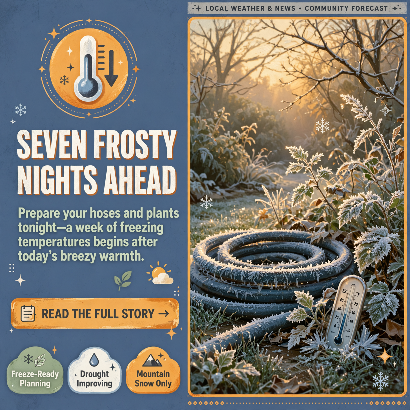
🌬️ A Breezy, Cooling Thursday, Snow for the High Mountains, Seven Frosty Nights and Good News on the Drought Map
Or: Hold onto your hat today, get the freeze chores done before dark, leave the snow to the Smokies, and smile at a greener-looking drought map.
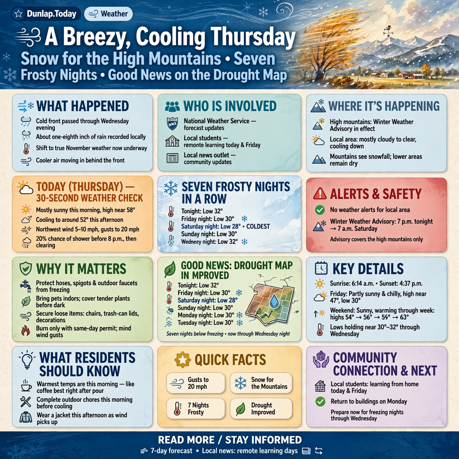
Good Thursday morning, Valley. Wednesday’s cold front came through on schedule, leaving about an eighth of an inch of rain at the Chattanooga airport, and today is the turn toward real November weather. Around 8:30 this morning, Chattanooga was mostly cloudy near 55, and Crossville was cloudy near 46. Here’s the short version, with today’s updates marked: a high near 58 this morning, then falling to around 52 this afternoon, with northwest gusts up to 20 mph and no weather alerts for Dunlap. A small 20 percent chance of a shower before 8 p.m., then clearing and cold. Update: Dunlap’s forecast now shows lows between 28 and 32 every night from tonight through next Wednesday night — seven in a row — with the coldest near 28 Saturday night. A Winter Weather Advisory covers the high East Tennessee mountains, not us. And update: the new drought map shows our severe drought mostly gone in Sequatchie County.
⏱️ Your 30-Second Weather Check
- Today (Thursday): Mostly sunny, high near 58 this morning, falling to around 52 this afternoon. Northwest wind 5 to 10 mph, gusts to 20.
- Tonight: A 20% chance of a shower before 8 p.m., then partly cloudy. Low around 32.
- Friday: Partly sunny and chilly, high near 47, falling to about 44 in the afternoon. Low around 30 Friday night.
- Saturday: Sunny, high near 49, nearly calm. Low around 28 Saturday night — the coldest of the stretch.
- Sunday–Wednesday: Sunny or mostly sunny and warming: highs 54, 56, 59, then 63. Lows near 30 to 32.
- Alerts: None for Dunlap. A Winter Weather Advisory runs from 7 p.m. EST tonight to 7 a.m. EST Saturday for the high East Tennessee mountains, including Unicoi County and the Smokies.
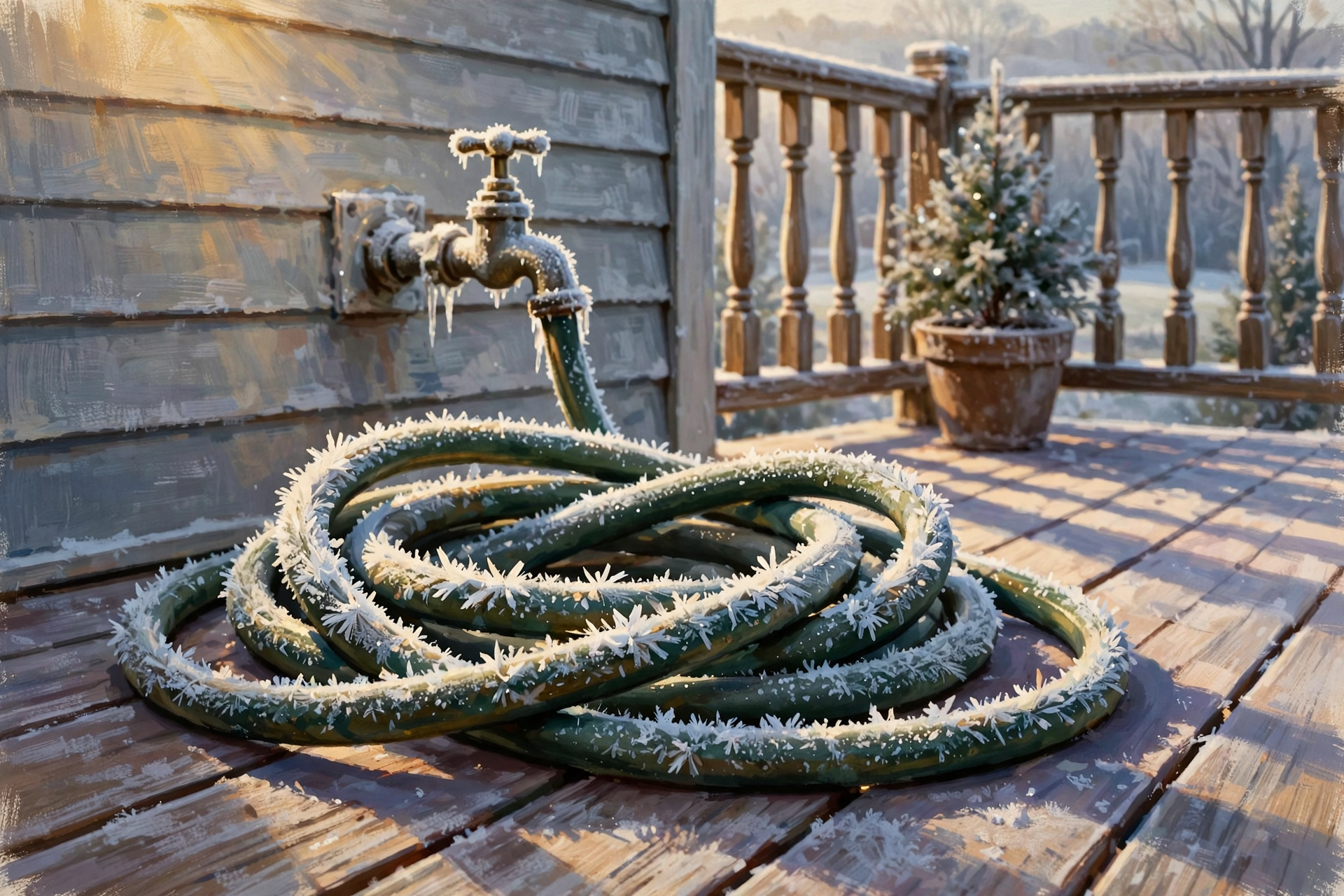
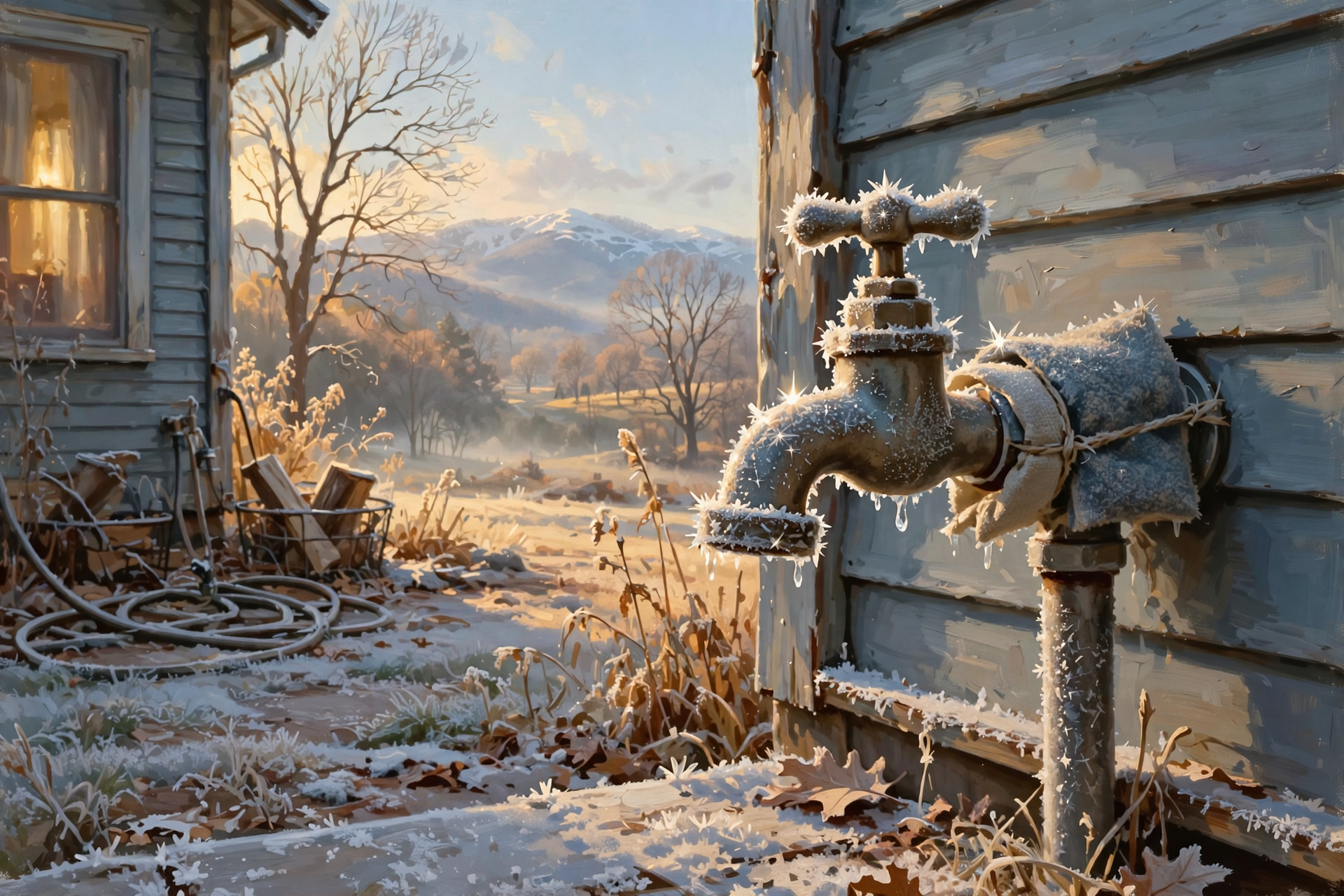
- Remember: Hoses, spigots, pet water and tender plants freeze-ready before dark tonight. Burn only with a same-day permit, and mind the gusts.
🍂 Today: A Bright Start, a Cooler Afternoon and a Wind With Opinions
Dunlap’s National Weather Service forecast calls for a mostly sunny Thursday with a high near 58, then temperatures falling to around 52 this afternoon as colder air pours in behind the front. A northwest wind of 5 to 10 mph with gusts as high as 20 mph will make it feel cooler than the thermometer says. Tonight brings a 20 percent chance of a rain shower before 8 p.m., then partly cloudy skies and a low around 32. Sunrise was 6:14 a.m. and sunset is 4:37 p.m., according to the U.S. Naval Observatory. Sequatchie County students are learning from home today and Friday, and back in the buildings Monday.
What it means for you: Today is one of those days when the warmest part comes at breakfast — like a cup of coffee that’s best right after you pour it. Get outdoor chores done this morning, put a jacket on for the afternoon, and tie down or bring in anything light enough to go for a ride: lawn chairs, trash-can lids, empty buckets and the last of the fall decorations.
👉 Read more (Dunlap 7-day forecast) · The Dunlap-Tribune: remote learning days
🥶 Seven Frosty Nights in a Row, Starting Tonight
Update: Dunlap’s forecast lows now read: tonight 32, Friday night 30, Saturday night 28, Sunday night 30, Monday night 30, Tuesday night 30 and Wednesday night 32. Yesterday’s forecast had Friday night at 28 and Saturday night at 27, so the coldest nights look a degree or two milder — but the cold now lasts seven nights instead of five, starting tonight. Morristown’s forecasters say most places drop “well into the 20s” by Sunday morning across the region. The fire-weather forecast calls the cold well below normal area-wide through Saturday night; Chattanooga’s normal for today is a high of 63 and a low of 41. No Freeze Watch or Warning is in effect for Dunlap this morning.
What it means for you: This cold has unpacked its suitcase and plans to stay a week. Before dark tonight: drain and roll up hoses, cover outdoor spigots, check the well house and pump lines, and bring tender potted plants in for good. Plan on breaking ice on livestock and pet water most mornings, and give the truck a few extra minutes to defrost. Afternoons will be sunny and pleasant for farm work, especially by Sunday and beyond.
👉 Read more (Dunlap 7-day forecast) · Morristown forecast discussion
❄️ Snow for the High Mountains: A Winter Weather Advisory, but Not for Us
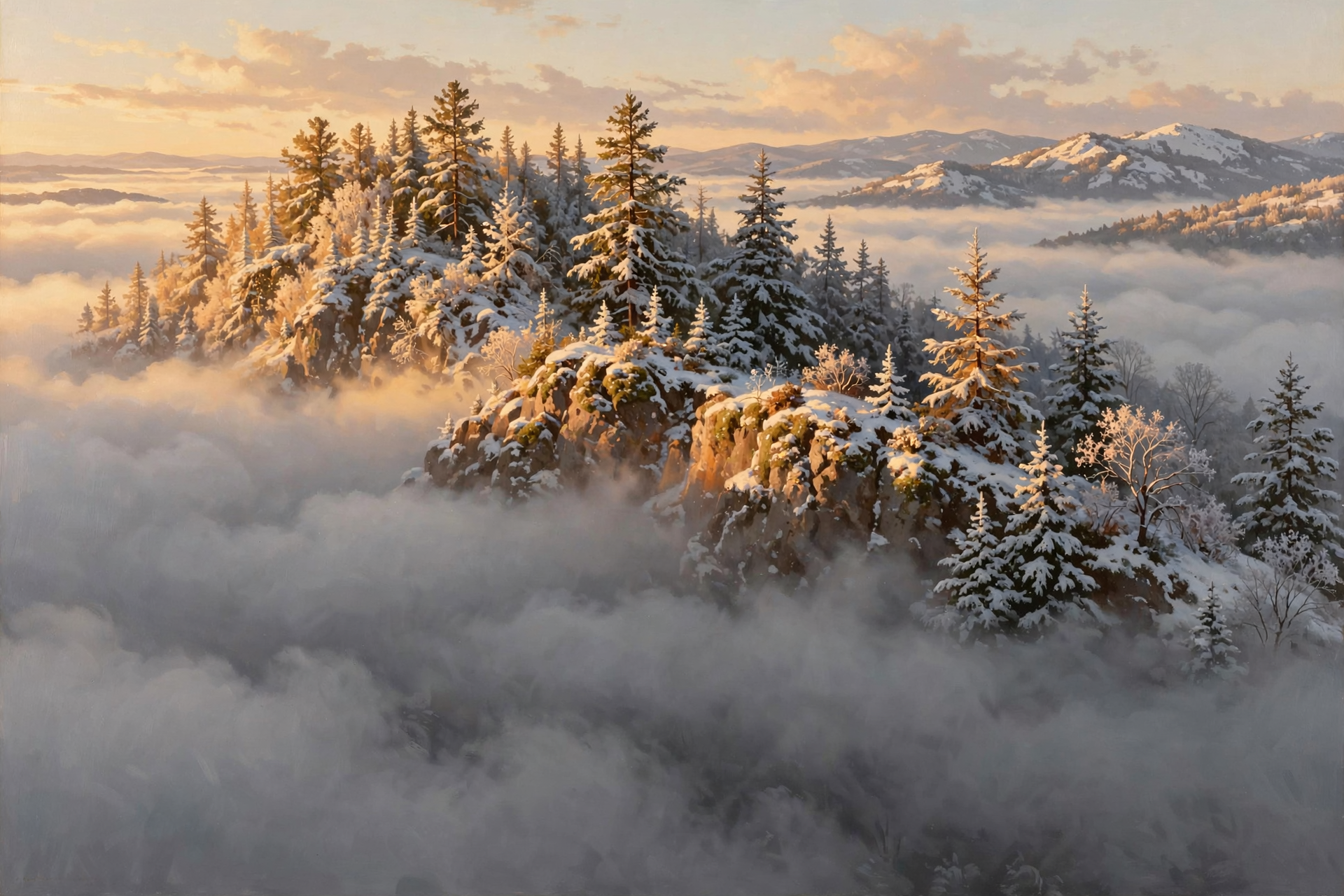
Update: the National Weather Service in Morristown has issued a Winter Weather Advisory from 7 p.m. EST tonight to 7 a.m. EST Saturday for the high East Tennessee mountains: the Blount, Cocke and Sevier Smoky Mountains, Johnson, southeast Carter, southeast Greene, southeast Monroe and Unicoi counties. Forecasters expect 1 to 4 inches of snow at or above 3,000 feet, with locally more on the highest peaks, and wind chills in the teens up high Friday night into Saturday. Places around 2,000 feet could see some snow on grassy surfaces, and flurries or light snow showers are possible at lower elevations Friday evening into Friday night, with the best chances in northern parts of the Tennessee Valley. Dunlap’s own forecast does not show snow, and Sequatchie County is not in the advisory.
What it means for you: At home, this is a “pretty pictures on the evening news” kind of snow. But if you’re making Friday’s drive to Unicoi County for the Indians’ playoff game, or heading to the Smokies this weekend, check TDOT SmartWay before you leave, pack heavy coats, gloves and a blanket, and start with a full tank. Mountain roads can turn slick after dark even when the valley roads are fine.
👉 Read more (Hazardous Weather Outlook) · TDOT SmartWay road conditions
🔥 Burn Piles: Smoke Lifts Fine, but Watch Today’s Gusts
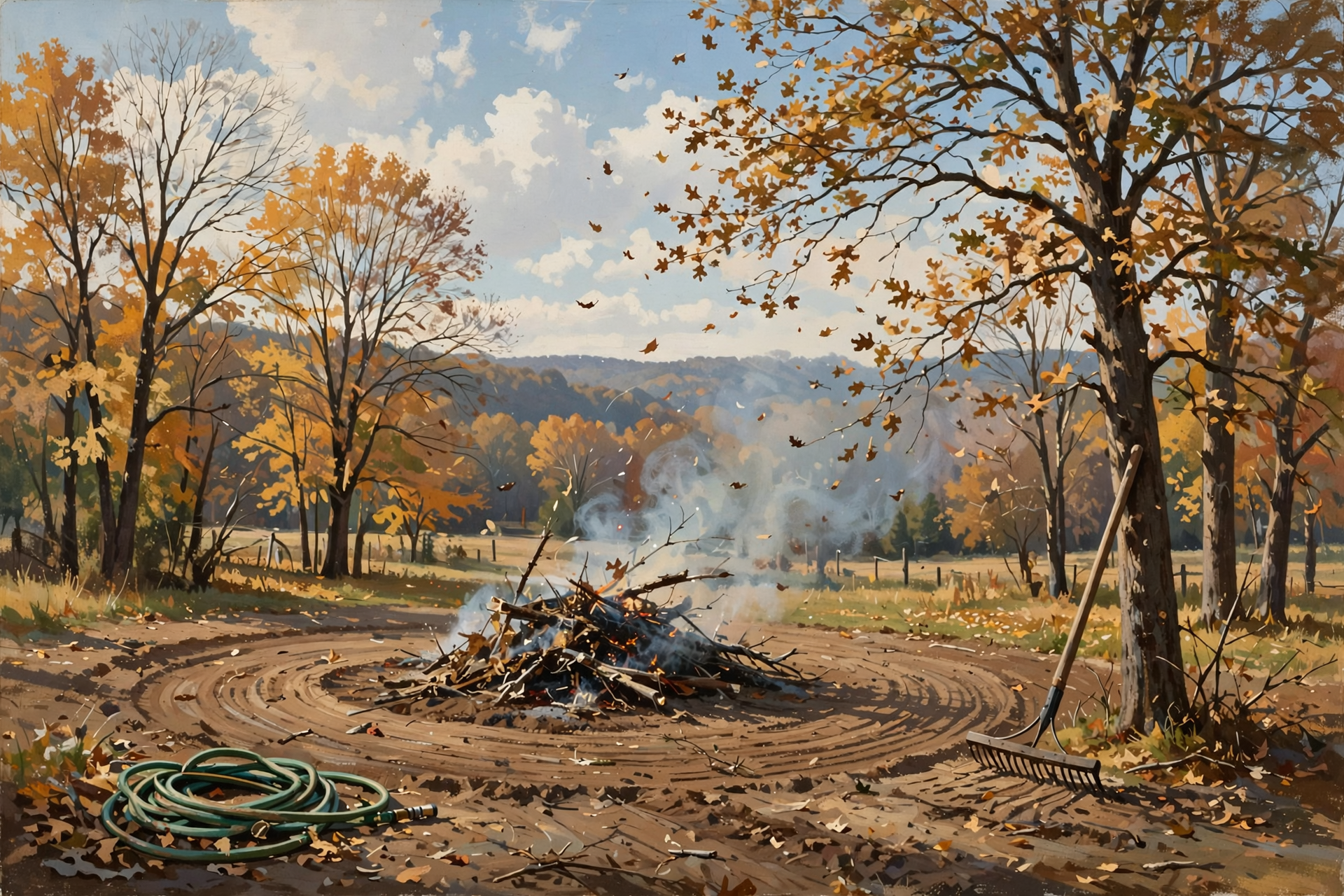
This morning’s fire-weather forecast for the Sequatchie County zone (Dunlap, Cagle, Cartwright, Lone Oak), issued at 12:27 a.m. CST, rates smoke dispersion “Generally Good” early and “Very Good” late today, with afternoon humidity around 62 to 67 percent — but with a northwest wind near 13 mph gusting to 21 mph this morning and about 11 mph this afternoon. Tonight is “Poor.” Friday rates “Generally Good” with a northwest wind near 10 to 11 mph. Saturday through Wednesday, winds are forecast under 10 mph with sunny skies. Remember, from Oct. 15 through May 15, Tennessee requires a free burn permit for leaf and brush piles — get it the day you burn at BurnSafeTN.org or by calling 877-350-BURN. Statewide, the state’s burn-ban page says there are no active burn bans in Tennessee this morning. Permits are issued only when conditions allow, and city rules can be stricter.
What it means for you: Good smoke lift is only half the recipe; a gusty wind is the pinch of pepper that can spoil the pot. If you can wait, the calmer days from Saturday on are the friendlier choice — check for a permit that morning. Whenever you burn: keep the pile small, clear a bare ring around it, keep a hose and rake close, stay with it, and have it completely out well before the 4:35-ish sunset.
👉 Read more (BurnSafeTN free permits) · Fire-weather forecast
🏈 Friday Night Lights and Monday’s Bus Stop: Bundle Up Both Times
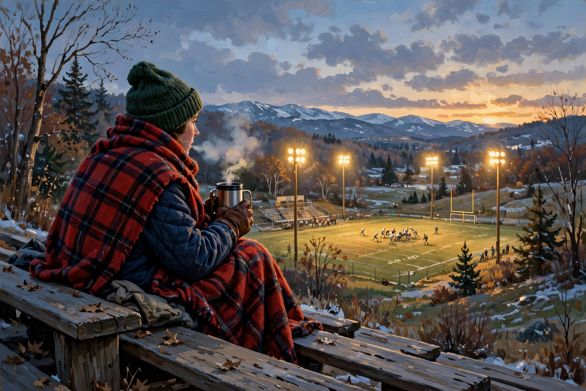
Local. Five Valley football teams play second-round playoff games Friday night, as this morning’s School Week in the Valley reported, with Jasper and South Pittsburg hosting the short drives. Dunlap’s hourly forecast for Friday evening shows about 40 at 7 p.m. and 37 by 9 p.m., partly cloudy with a light northwest wind. When school returns Monday, Nov. 16, the bus stop looks to start near 32 at 7 a.m., warming to the mid-50s by afternoon; Tuesday morning is about 34.
What it means for you: For the bleachers, think “deer stand” more than “front porch”: a hat, gloves, a blanket to sit on and a thermos of something hot. And use the two at-home days to dig out the winter coats and try them on before Monday, because kids outgrow sleeves faster than okra outgrows the basket.
👉 Read more (Tennessee playoff matchups for Nov. 13–14) · Dunlap forecast
🦌 Hunters: Saturday’s Openers Still Look Sunny, Cold and Calm
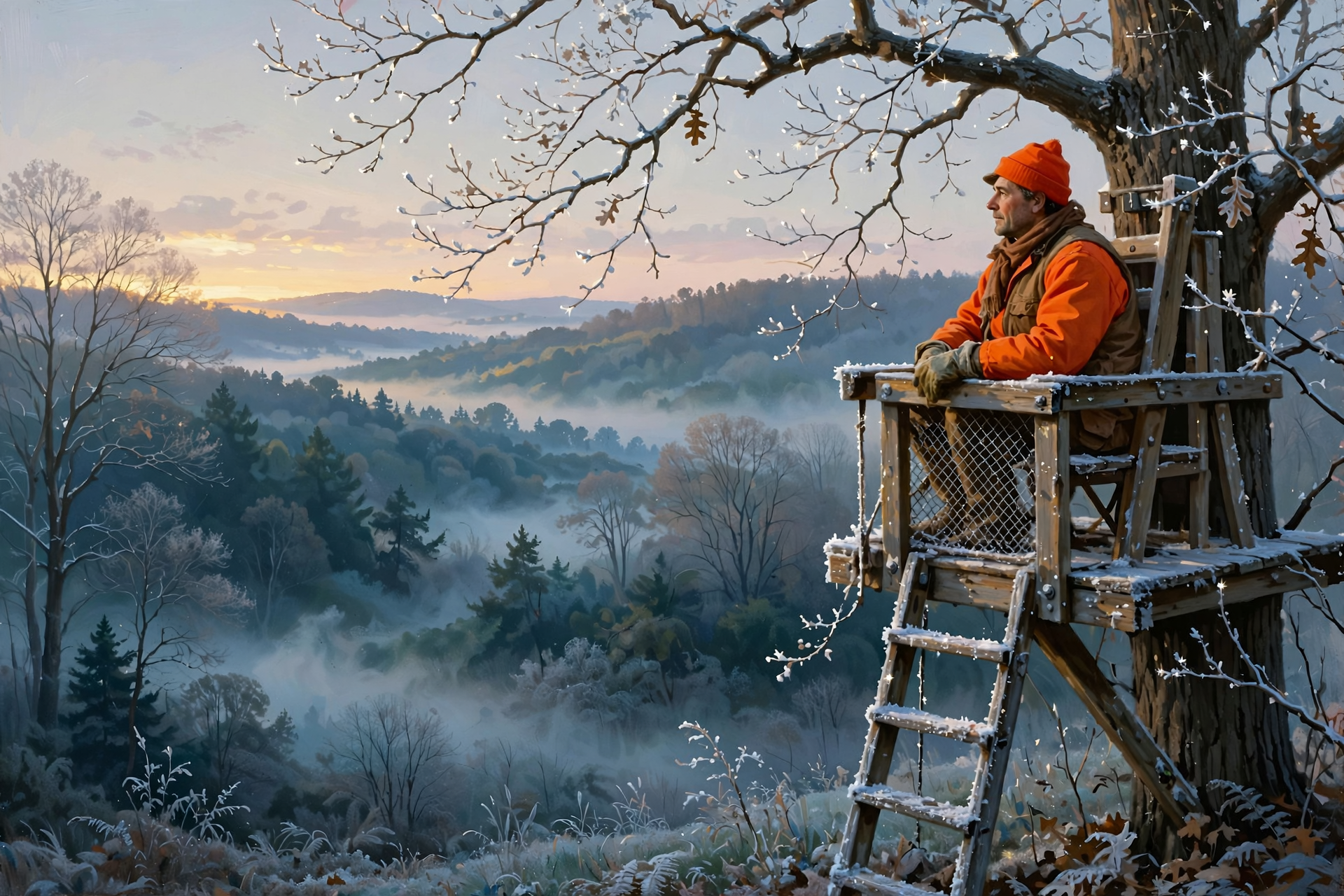
From TWRA’s statewide season summary, checked this morning: Saturday, Nov. 14, single-shot straight-walled cartridge rifles (.35 caliber or larger) are allowed on private lands only through Nov. 20, during the muzzleloader/archery season; deer taken count toward the muzzleloader bag limit. Woodcock and snipe open the same day (Tennessee Migratory Bird Permit required). Next up: fox, mink, muskrat, otter, least weasel and statewide bobcat on Friday, Nov. 20, and the statewide gun/muzzleloader/archery deer season on Saturday, Nov. 21.
What it means for you: Update: Saturday’s forecast is now about 30 around 6 a.m. and 32 at 7 a.m., a high near 49, and a north wind of 0 to 5 mph. Sunrise is 6:16 a.m. and sunset 4:36 p.m. Calm, frosty mornings carry sound and scent a long way, so move slow and quiet. Frost on ladders and stands is slick — wear your harness and blaze orange or pink where required.
👉 Read more (TWRA seasons summary) · Naval Observatory sunrise and sunset
🌱 Good News on the Drought Map, Plus Wednesday’s Rain
Update: the new U.S. Drought Monitor map (valid Nov. 10) shows severe drought in Sequatchie County shrinking from about 17 percent of the county to about 3 percent. All of the county is still in moderate drought. Statewide, the share of Tennessee in extreme drought fell from about 29 percent to about 9 percent, and moderate drought or worse dipped from about 73 to about 70 percent. Chattanooga’s climate report for Wednesday, Nov. 11 shows a high of 67, a low of 41, and 0.12 inches of rain with a thunderstorm recorded, plus a gust to 29 mph. November now stands at 1.77 inches, about a quarter-inch ahead of normal. Since Sept. 1, rainfall is about 4.17 inches behind, and the year is about 10.35 inches behind.
What it means for you: Early November’s rains did real good, like a long drink of water after hoeing a row. We’re not out of the woods yet, and with dry days ahead, dead leaves and grass will still catch fire easily. Keep an eye on ponds and stock tanks, and be careful with any outdoor fire.
👉 Read more (U.S. Drought Monitor: Tennessee) · Chattanooga daily climate report
🔭 Looking Further Out: Back to the 60s, and Rain Chances Return
Dunlap’s forecast warms steadily next week, reaching about 63 by Wednesday, and Morristown expects most places back into the 60s by midweek under dry high pressure. The federal Climate Prediction Center’s newest outlooks, issued Wednesday, list Tennessee as leaning toward above-normal temperatures for both Nov. 17–21 and Nov. 19–25. Update: for precipitation, Tennessee now leans near normal for Nov. 17–21 (yesterday’s outlook leaned drier) and above normal for Nov. 19–25. Forecaster confidence is rated 5 out of 5 and 4 out of 5. These are statewide odds, not a Dunlap forecast.
What it means for you: The cold snap has an end date. Pencil outdoor projects in for Tuesday and Wednesday, and keep rain gear handy around the Nov. 21 gun opener and the days before Thanksgiving travel.
👉 Read more (Climate Prediction Center discussion)
✅ Your Thursday-to-Wednesday Checklist
- ☐ This morning: Do outdoor chores early, while it’s near 58. Tie down lawn chairs and trash-can lids.
- ☐ Before dark tonight: Hoses drained, spigots covered, well lines checked, tender plants inside.
- ☐ Every morning through Thursday, Nov. 19: Check pet and livestock water for ice; allow extra minutes for frosty windshields.
- ☐ Burning: Free same-day BurnSafeTN permit first. Calmer days start Saturday. Out before sunset.
- ☐ Friday night: About 40 at kickoff time and 37 by 9 p.m. Hat, gloves, blanket.
- ☐ Traveling to Unicoi County or the Smokies: Winter Weather Advisory up high. Check TDOT SmartWay first.
- ☐ Saturday (Nov. 14): Straight-wall (private land), woodcock and snipe open. About 30 near dawn, calm.
- ☐ Monday (Nov. 16): School back in session. Bus stop near 32.
- ☐ Tuesday–Wednesday: Sunny and milder, upper 50s to 63. Good project days.
The rule to remember: Freeze-ready before dark tonight. The frost stays seven nights, the snow stays on the mountains, and the warm-up comes by Wednesday.
— Dunlap.Today
📚 Plain-English Weather Glossary
- Winter Weather Advisory: A heads-up that snow or ice could make travel tricky in a certain area. It’s a step below a warning.
- Cold front: The leading edge of colder air. Wednesday’s front is why today gets colder as the day goes on.
- Freeze: When the temperature reaches 32 or lower. Upper 20s can freeze hoses, exposed pipes and tender plants.
- Smoke dispersion: How well the air carries smoke up and away. “Good” and “Very Good” mean it lifts; “Poor” means it hangs low.
- Gust: A quick burst of wind stronger than the steady breeze. Gusts are what carry embers and lawn chairs.
- Drought Monitor: A weekly federal map showing how dry each area is, from “abnormally dry” to “exceptional drought.”
- 6–10 and 8–14 day outlooks: Odds of warmer or colder, wetter or drier than normal over a stretch of days. They’re leanings, not exact forecasts.
❓ Frequently Asked Questions
Why is it getting colder during the day today?
Colder air is flowing in behind Wednesday’s cold front. Dunlap’s forecast has a high near 58 this morning, falling to around 52 this afternoon, with northwest gusts up to 20 mph.
How many freezing nights are coming?
Dunlap’s forecast shows lows between 28 and 32 every night from tonight through next Wednesday night. The coldest looks like Saturday night, near 28. Protect hoses, spigots, plants and animal water before dark tonight.
Will it snow in Dunlap?
Dunlap’s forecast does not show snow. A Winter Weather Advisory covers the high East Tennessee mountains, including Unicoi County and the Smokies, from 7 p.m. EST tonight to 7 a.m. EST Saturday. Flurries are possible at some lower elevations Friday evening and night.
Can I burn brush this week?
Yes, with a free same-day permit from BurnSafeTN.org or 877-350-BURN, when permits are being issued. Statewide, there’s no active burn ban. Smoke lifts well today, but it’s gusty. Saturday through Wednesday have lighter winds.
Is the drought getting better?
Yes. On the new Drought Monitor map, severe drought in Sequatchie County shrank from about 17 percent of the county to about 3 percent. The whole county is still in moderate drought, so keep being careful with fire.
When does it warm up?
Steadily from Sunday. Dunlap’s highs run 54 Sunday, 56 Monday, 59 Tuesday and about 63 Wednesday, with mostly sunny skies.
🔗 Other Resources

- National Weather Service: Dunlap forecast
- National Weather Service Morristown
- Hazardous Weather Outlook
- Morristown forecast discussion
- Morristown fire-weather forecast
- Chattanooga daily climate report
- Climate Prediction Center 6–10 day outlook
- U.S. Drought Monitor: Tennessee
- BurnSafeTN: free burn permits
- Tennessee burn bans
- TWRA hunting seasons summary
- TDOT SmartWay road conditions
- Sequatchie Valley Electric outage information
- Naval Observatory sunrise and sunset
🌤️ A Chilly Week With a Happy Ending
Today the wind turns the page to colder weather, and the next week brings sunny afternoons, frosty mornings and snow only on the tall mountains far to our northeast. The drought map is looking better, and milder 60s are on the way by Wednesday. A few minutes with the hoses and spigots tonight is all it takes to be ready. No rush, no worry, just a little planning.
We’ll keep watching the sky so you don’t have to. Read Dunlap.Today for calm, practical weather in plain English.
Sources
Know about an upcoming event or story in the Dunlap, TN area? Submit it here.




0 Comments