

🌠 Shooting Stars Before Dawn, No Freeze in Sight and Not a Drop of Rain: Your Dunlap Weather & Outdoors Week

Or: Foggy Creek Bottoms, Sunny Mid-70s Through Monday, Damper Air for Burn Piles by the Weekend, Bear Archery Ends Friday and a Full Moon Sunday Night
By Thomas Seest, Dunlap.Today · Tuesday, October 20, 2026
Good Tuesday morning. Weather Service airport sensors show Crossville dipped to about 39 degrees with fog early this morning, and Chattanooga to about 43. National Weather Service Morristown says warmer mornings are cutting the frost chances for most of us this week, but dense fog is possible near lakes and rivers when cool air settles over warmer water. Dunlap’s forecast calls for a mostly sunny afternoon with a high near 76.
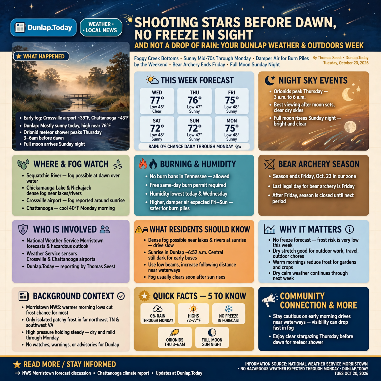
Here’s the week in one breath. Dunlap stays sunny through next Monday, with highs from 72 to 77, lows from 45 to 48 and a 0% chance of rain every day. Morristown’s Hazardous Weather Outlook for Sequatchie, Marion, Bledsoe and Hamilton counties says no hazardous weather is expected through Monday, and as of this morning there were no watches, warnings or advisories for Dunlap. Afternoon humidity is lowest today and Wednesday, then climbs toward the upper 40s by Saturday, which makes the weekend a gentler time for burn piles. There are still no burn bans in Tennessee. And early risers get a treat: the Orionid meteor shower peaks before dawn Thursday, and the moon is full Sunday night.
⏱️ What this means for you in 30 seconds
- Today: Mostly sunny, high near 76. Tonight clear, near 47.
- This week: Sunny every day. Highs 77, 76, 75, 72, 72, 75 (Wednesday through Monday); lows 45 to 48.
- Rain: None through Monday. Federal forecasters lean dry for Oct. 25 to 29, too.
- Burning: No bans. Free same-day permit required. Friday through Sunday have the dampest afternoon air.
- Look up: Orionid meteors Thursday, about 3 a.m. to 6 a.m., after the moon sets.
- Remember: Bear archery season in our zone ends Friday, Oct. 23. No freeze in the forecast.
🌫️ Foggy Creek Bottoms, Fewer Frosty Mornings
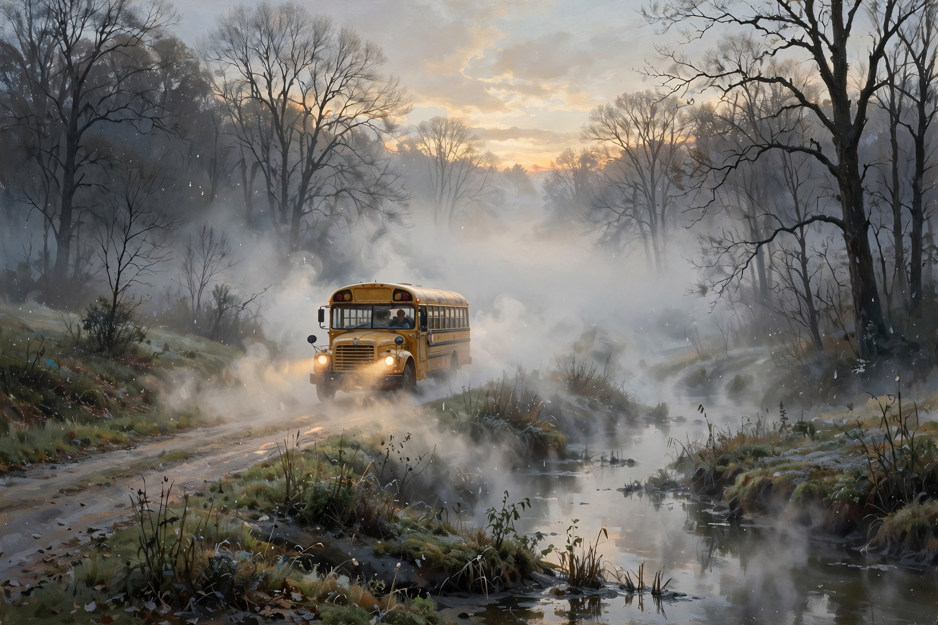
Monday was another cool start. Chattanooga’s airport bottomed out at 40 degrees, about 10 below normal for the date, before warming to 72. This morning ran a few degrees milder. Morristown’s discussion, written early today, says the only frost was “isolated patchy frost for parts of far northeast TN and southwest VA,” and that “increasing morning lows will diminish the potential for frost development for most.” The catch: “dense fog near waterways could be possible with colder air over top warmer waters in lakes and rivers.” Crossville’s airport reported fog around sunrise.
What it means for you: Think of the river like a warm cup of coffee on a cool porch rail: it steams in the morning. Along the Sequatchie River, Chickamauga Lake, Nickajack and the creek bottoms, the first half hour of daylight can be thick. Drivers and school buses, slow down, use low beams and leave extra room on those stretches. Sunrise in Dunlap is about 6:52 a.m. Central, so the earliest bus stops are still in half-light. Fog usually burns off soon after the sun gets up.
👉 Read more (NWS Morristown forecast discussion) · Chattanooga climate report
📅 Copy and Paste: Your Tuesday-to-Monday Forecast
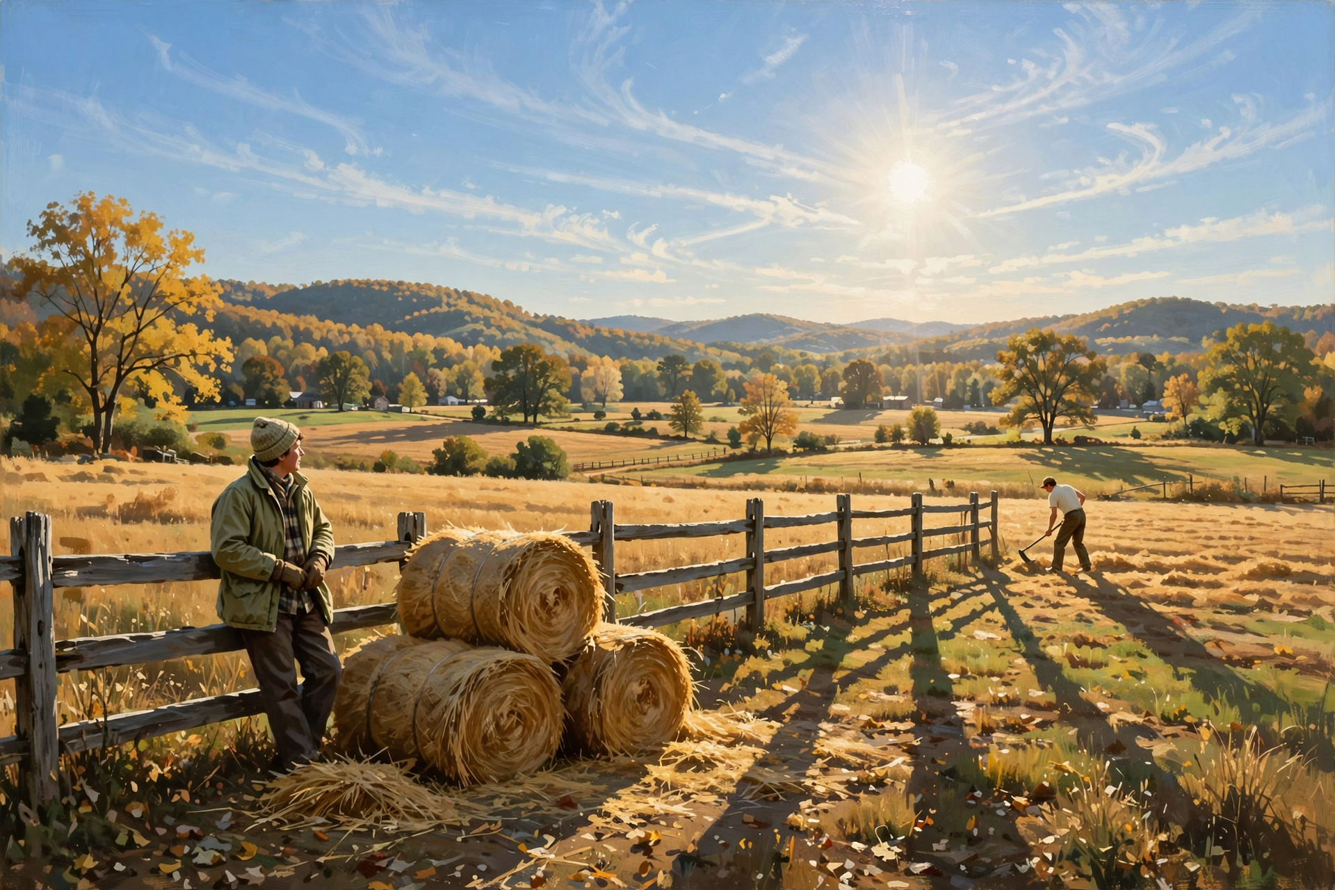
Morristown’s forecasters say high pressure is holding steady over our part of the country, and highs “will remain in the low to mid (some upper) 70s range the rest of the forecast period into early next week.” Compared with Monday’s forecast, midweek nudged a couple of degrees warmer and the weekend a degree or two cooler. Dunlap’s point forecast, updated about 6:06 a.m. Central:
- Wednesday: Sunny, high near 77, the warmest day. Night: clear, near 46.
- Thursday: Sunny, high near 76. Night: clear, near 48.
- Friday: Sunny, high near 75. Night: clear, near 46.
- Saturday: Sunny, high near 72. Night: mostly clear, near 45.
- Sunday: Sunny, high near 72. Night: partly cloudy, near 47.
- Monday: Mostly sunny, high near 75.
What it means for you: It’s a 30-degree swing most days, like going from the deer stand at daybreak to the ball field at noon. Kids need a jacket at the bus stop and a place to stash it by afternoon. For farm chores, any day works: hauling hay, fixing fence, cleaning out the barn or putting up the garden. Sunset slides from about 6:00 p.m. Central today to about 5:54 p.m. by Sunday, so evening chores keep creeping earlier.
👉 Read more (Dunlap 7-day forecast) · Hazardous Weather Outlook
🌠 An Early Riser’s Treat: Shooting Stars Before Dawn Thursday

The American Meteor Society lists the Orionid meteor shower’s peak on the night of Oct. 21 into Oct. 22. These are bits of dust left behind by Halley’s Comet. In a normal year, the Society says, the Orionids produce about 10 to 20 meteors an hour at their best under dark skies. This year a bright moon, about 80% full, will hide the fainter ones, so NASA suggests looking “in just a few hours before dawn, after the Moon sets.”
For Dunlap, the U.S. Naval Observatory puts moonset at about 3:04 a.m. Central Thursday, and morning twilight begins about 6:28 a.m. That leaves roughly three dark hours. Wednesday morning works too, with moonset about 2:03 a.m. Both nights are forecast to be clear. Then the moon turns full at about 11:12 p.m. Central Sunday, Oct. 25.
What it means for you: If you’re already up at 4 or 5 a.m. (and a lot of us are), take your coffee out to the yard, away from the porch light. Lie back in a lawn chair, give your eyes 20 minutes to adjust, and look at the whole sky, not one spot. It’s a bit like watching for a cardinal at the feeder: patience pays. Bring a blanket, since it’ll be in the 40s.
👉 Read more (American Meteor Society calendar) · NASA: What’s Up for October · Naval Observatory moon and sun times
🔥 Burn Piles: Pick the Damper Days, and Know a Restriction From a Ban
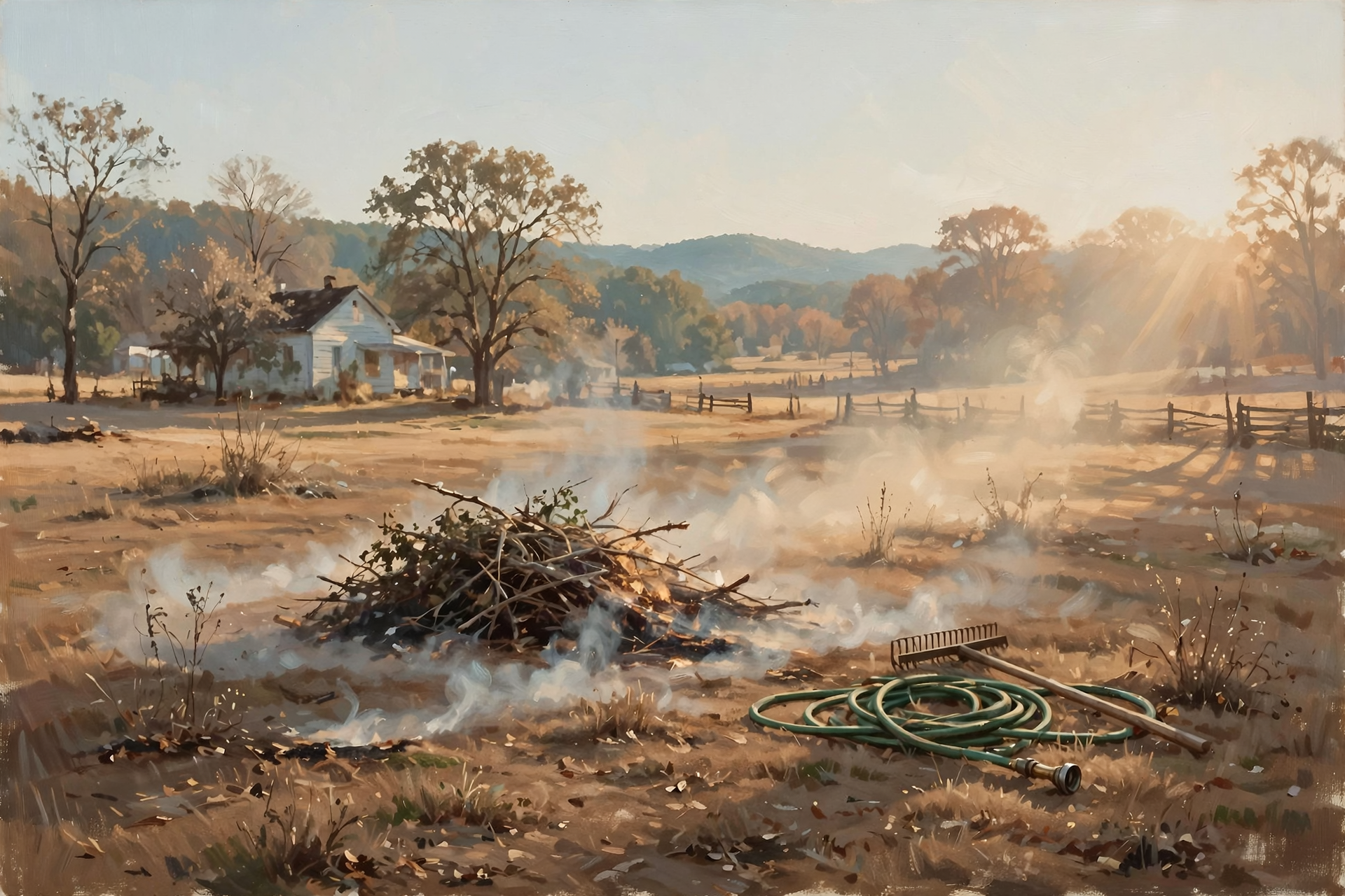
Morristown’s fire-weather forecast for Sequatchie County calls this “a very copy and paste forecast” with low afternoon humidity as “the main weather concern.” Afternoon humidity runs about 26 to 31 percent today and 25 to 30 percent Wednesday, then improves to about 34 Thursday, 40 Friday, 49 Saturday, 45 Sunday and 41 Monday. Winds stay under 10 mph all week, and humidity recovers to around 70 percent overnight.
Tennessee’s burn-ban page still read this morning: “Currently, there are no active burn bans in the State of Tennessee.” The state also explains the difference between two words you may hear. A burn restriction means the Division of Forestry temporarily stops issuing permits. During a restriction you can’t burn leaf or brush piles, but campfires, outdoor grilling and burn barrels with mesh covers are still allowed. A burn ban is rarer and stricter. It prohibits all open-air burning, including campfires and charcoal or wood grills.
What it means for you: Dry air works on a brush pile the way a hair dryer works on wet laundry. If you can wait, Friday through Sunday offer the dampest afternoons. Before any leaf or brush fire outside city limits, get the free same-day permit at BurnSafeTN.org, in the MyTN app, or by calling 1-877-350-BURN (2876) on weekdays. The permit is good for one day, and the fire must be completely out by midnight. Keep piles small, keep a hose and rake handy, and never walk off. Smoke hangs low overnight, so the afternoon is the better time. Town residents should check city rules first.
👉 Read more (Tennessee burn permit rules) · Burn-ban status · Morristown fire-weather forecast
💧 Drought Check: Who’s Driest, Who Improved, and a Peek at Next Week
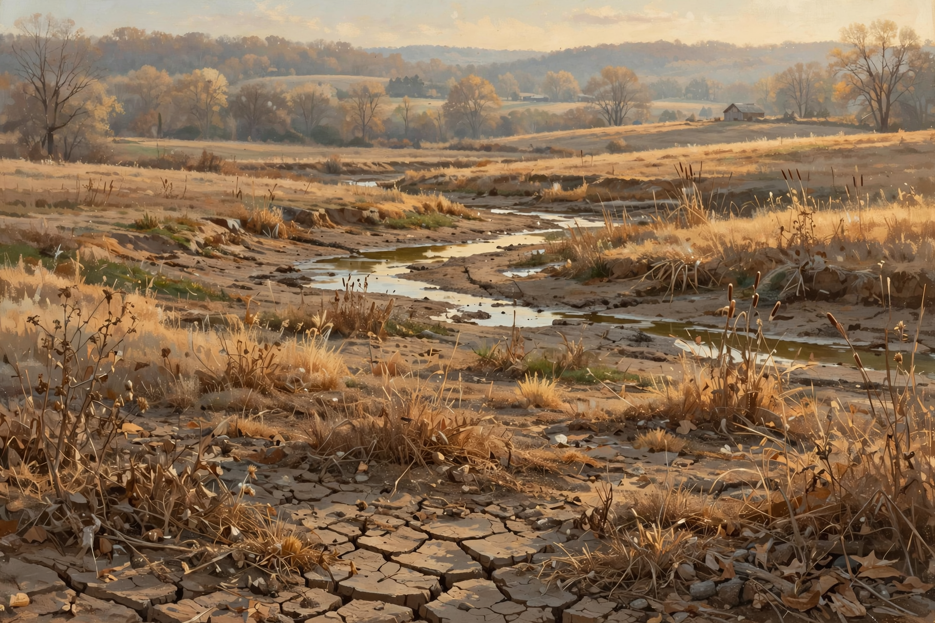
The latest U.S. Drought Monitor (conditions as of Oct. 13) shows all of Sequatchie County in moderate drought, with about 6% in severe drought. Around us, it’s a patchwork:
- Grundy: about 98% in severe drought, the driest in our area.
- Marion: nearly all in moderate drought, about 19% severe.
- Van Buren: about 80% moderate, 8% severe.
- Bledsoe: about 34% moderate.
- Hamilton: improved to about 10% moderate, down from about 49% the week before.
Chattanooga’s airport has 2.71 inches of rain in October, about half an inch above normal, but it’s about 3 inches behind since Sept. 1 and about 9 inches behind for the year. Looking further out, the federal Climate Prediction Center’s Monday outlook for Oct. 25 to 29 says chances for below-normal rain “are increased over most of the CONUS east of the Mississippi River,” which includes us, with warmer-than-normal temperatures favored. The next Drought Monitor map comes out Thursday.
What it means for you: The ground is like a savings account that’s had more withdrawals than deposits lately. Nothing’s bouncing, but it’s smart to spend carefully. Give new trees, shrubs and fall plantings one deep drink a week, check stock ponds and troughs, and keep an eye on hay supplies. If you’re on a well, there’s no need to worry, just skip the extras like washing the truck every weekend.
👉 Read more (U.S. Drought Monitor: Tennessee) · Climate Prediction Center 6–10 and 8–14 day outlook
🦌 Hunters’ Calendar: Bear Archery Ends Friday, Fall Turkey Through Oct. 30
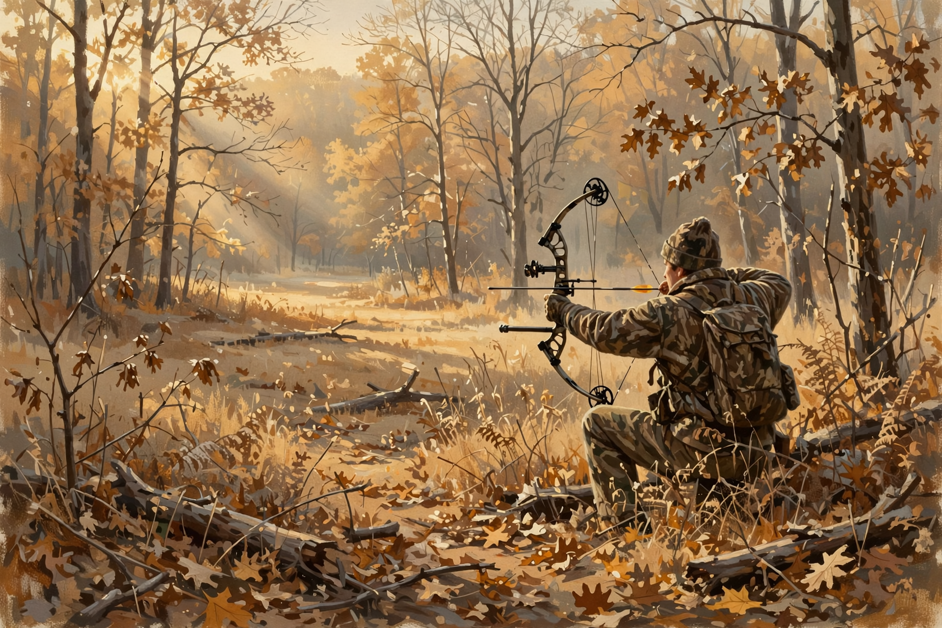
From TWRA’s hunting seasons summary. Some of these are statewide, and one is just for our zone:
- Bear (our zone only): TWRA’s bear “Transitional Zone” includes Sequatchie, Marion, Grundy and Hamilton counties. Its archery-only bear season ends Friday, Oct. 23, and it’s the only bear season the summary lists for that zone this fall.
- Fall turkey (statewide): shotgun/archery runs through Oct. 30 (open in our counties). Archery-only turkey returns Nov. 2 to 6. One male turkey for the fall.
- Deer (statewide): archery through Oct. 30; Young Sportsman hunt Oct. 31 to Nov. 1; archery again Nov. 2 to 6; muzzleloader/archery Nov. 7 to 20; gun season opens Nov. 21.
- Birds (statewide): the current Canada goose segment ends Thursday, Oct. 22; the second dove segment runs through Nov. 1.
What it means for you: Dry leaves are loud, like walking on cornflakes, so slow down and let the woods settle. Warm afternoons near 75 mean meat needs to get cool quickly, so bring ice. And with dry woods, be extra careful with matches, cigarettes and hot exhaust from ATVs in tall grass.
👉 Read more (TWRA hunting seasons summary)
🍁 Frost, Freeze and Fall Color: What the Calendar Says
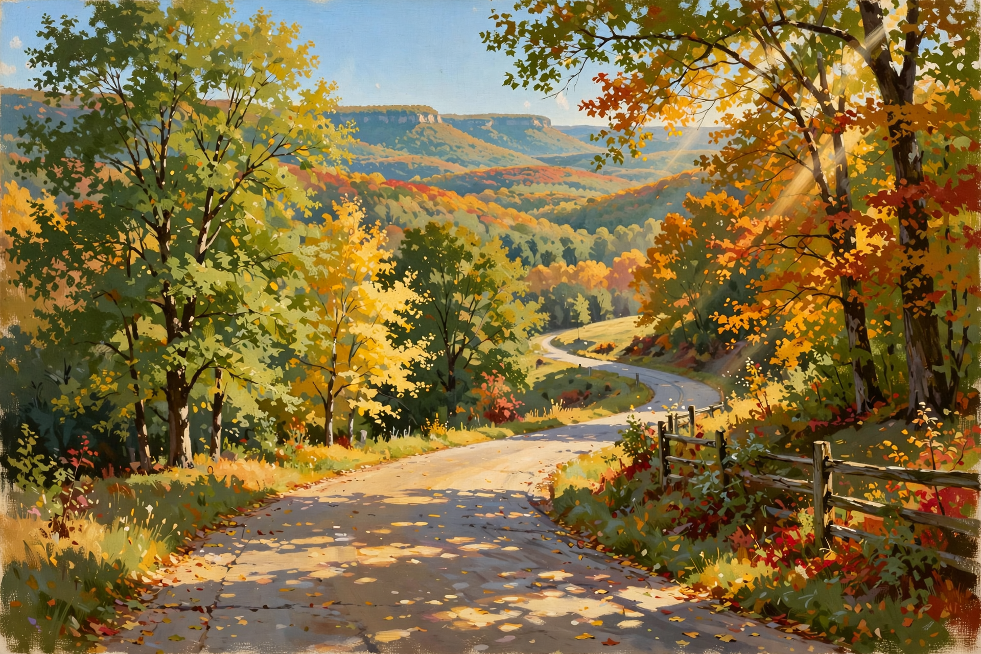
No freeze shows up anywhere in Dunlap’s forecast through Monday. The coldest night is near 45. For context, the Weather Service’s Chattanooga climate page lists the airport’s median first frost (36 degrees or colder) on Oct. 31 and median first freeze (32 or colder) on Nov. 9. Higher ground on the plateau usually runs earlier.
For leaves, Tennessee State Parks suggests late October for the Cumberland Plateau and recommends weekday trips to dodge crowds. One online foliage model, AutumnGuide, estimates Fall Creek Falls will build color from about Oct. 25 and peak around Nov. 2 to 6. That’s a computer estimate, so treat it as a ballpark. Dunlap.Today’s own fall-color guide explains how the color moves from the high plateau down into the valleys.
What it means for you: Tender potted plants can stay out a while longer, but it’s a good week to pick your “bring it in” spot before the first cold snap. Leaf lookers, the next two weekends look like the sweet spot on the plateau, and this week’s sunshine is perfect for a weekday drive up Highway 111 or out to the overlooks.
👉 Read more (NWS Chattanooga climate page) · Tennessee State Parks fall color guide · Dunlap.Today: follow fall color in stages
✅ Your Tuesday-to-Monday Checklist
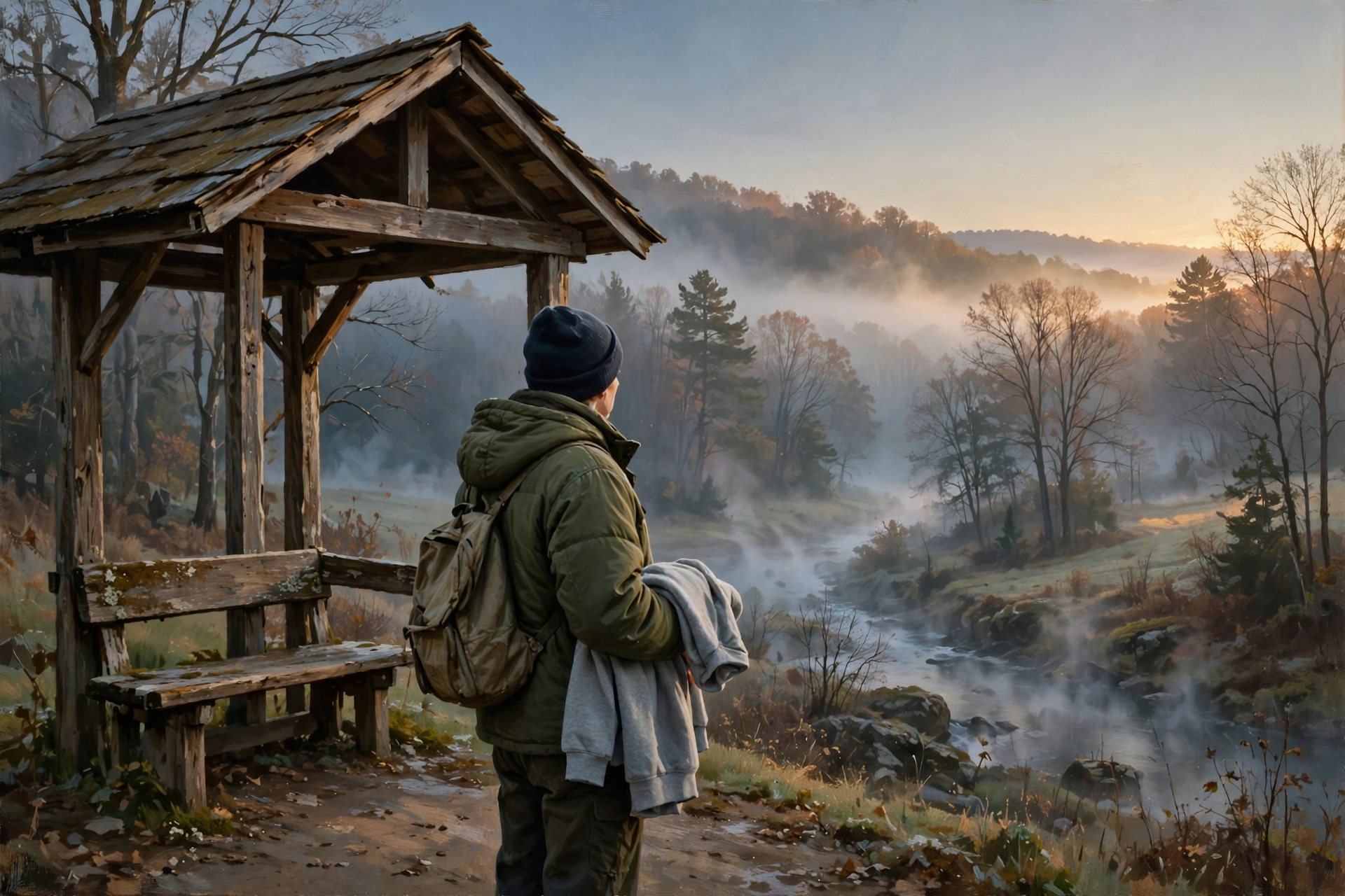
- ✅ Every morning: Watch for fog near rivers, lakes and creek bottoms. Low beams, slow down.
- ✅ School mornings: Jacket at the bus stop, lighter layers for the ride home.
- ✅ Wednesday or Thursday, about 3 to 6 a.m.: Step outside for Orionid meteors after the moon sets.
- ✅ Thursday: Last day of the current Canada goose segment, and the new drought map comes out.
- ✅ Friday, Oct. 23: Last day of archery-only bear season in our zone.
- ✅ Friday through Sunday: Dampest afternoons for burn piles. Free permit first, out by midnight.
- ✅ Once this week: One deep watering for new plantings. Check ponds, troughs and hay.
- ✅ Sunday night: Full moon, about 11:12 p.m. Central.
Practical rule: Fog in the morning, dry by afternoon. Drive slow early, burn only on damper days with a permit, and look up before dawn Thursday.
— Dunlap.Today
📚 Plain-English Weather Glossary

- Waterway fog: Fog that forms over rivers and lakes on clear, calm nights when cool air sits on top of warmer water. It usually lifts soon after sunrise.
- Relative humidity (RH): How much moisture is in the air compared with the most it could hold. Around 30% in the afternoon is dry enough for leaves and brush to catch fire easily.
- Burn restriction: The state pauses burn permits for a while. Leaf and brush piles must wait, but campfires, grills and mesh-covered burn barrels are still allowed.
- Burn ban: A stricter, rarer order that prohibits all open-air burning, including campfires and charcoal or wood grills.
- Meteor shower: When Earth passes through dust left by a comet, and the bits burn up as streaks of light. The Orionids come from Halley’s Comet.
- Moonset: The time the moon drops below the horizon. After it sets, the sky gets darker and fainter meteors show up.
- Median first freeze: The date by which half of past years had their first 32-degree night. It’s an average marker, not a promise.
- Climate Prediction Center outlook: A federal forecast of whether a period 6 to 14 days out will likely be wetter, drier, warmer or cooler than normal. It gives odds, not exact amounts.
❓ Frequently Asked Questions

Will it rain at all this week?
Not according to Dunlap’s National Weather Service forecast, which shows a 0% chance of rain every day through Monday. The Climate Prediction Center also leans drier than normal for Oct. 25 to 29.
Do I need to cover plants this week?
Not in the valley, based on the current forecast. Lows stay in the mid to upper 40s, and Morristown says warmer mornings are reducing frost chances for most of the area.
What’s the best time to see the meteors?
Thursday morning from about 3 a.m., when the moon sets in Dunlap, until about 6 a.m., before the sky brightens. Wednesday morning after about 2 a.m. works too. Get away from porch lights and give your eyes about 20 minutes.
Is there a burn ban in Sequatchie County?
No. Tennessee’s burn-ban page says there are no active burn bans in the state. You still need a free same-day permit to burn leaves or brush outside city limits through May 15.
What’s the difference between a burn restriction and a burn ban?
A restriction pauses permits, so leaf and brush piles must wait, but campfires, grills and mesh-covered burn barrels are still OK. A ban prohibits all open-air burning, including campfires and charcoal or wood grills.
When does bear archery season end here?
Friday, Oct. 23, in TWRA’s Transitional Zone, which includes Sequatchie, Marion, Grundy and Hamilton counties. Check TWRA’s summary for your exact zone and rules.
When does Chattanooga usually get its first freeze?
The Weather Service lists a median first freeze of Nov. 9 and a median first frost of Oct. 31 at the Chattanooga airport. Higher spots on the plateau usually get there sooner.
🔗 Other Resources

- National Weather Service: Dunlap forecast
- National Weather Service Morristown
- Morristown fire-weather forecast
- U.S. Drought Monitor: Tennessee
- Climate Prediction Center 6–10 day outlook maps
- BurnSafeTN: free burn permits
- Tennessee burn-ban status
- Tennessee Division of Forestry FAQs
- TWRA hunting seasons summary
- American Meteor Society meteor shower calendar
- U.S. Naval Observatory moon phases
- Tennessee State Parks: where and when to see fall color
- Sequachee Valley Electric Cooperative outages
🌤️ Clear Skies, Calm Days and a Little Magic Overhead

There’s nothing to fret about in this forecast. No storms, no watches, no burn bans and no freeze, just foggy mornings, sunny afternoons and a sky worth looking at before dawn. The only things to keep in mind are the thirsty ground and the dry afternoon air, and a little care with water and burn piles handles both. Pour a cup of coffee, step outside early Thursday, and enjoy the show.
We’ll keep watching the sky so you don’t have to. Read Dunlap.Today for calm, practical weather in plain English.




0 Comments