
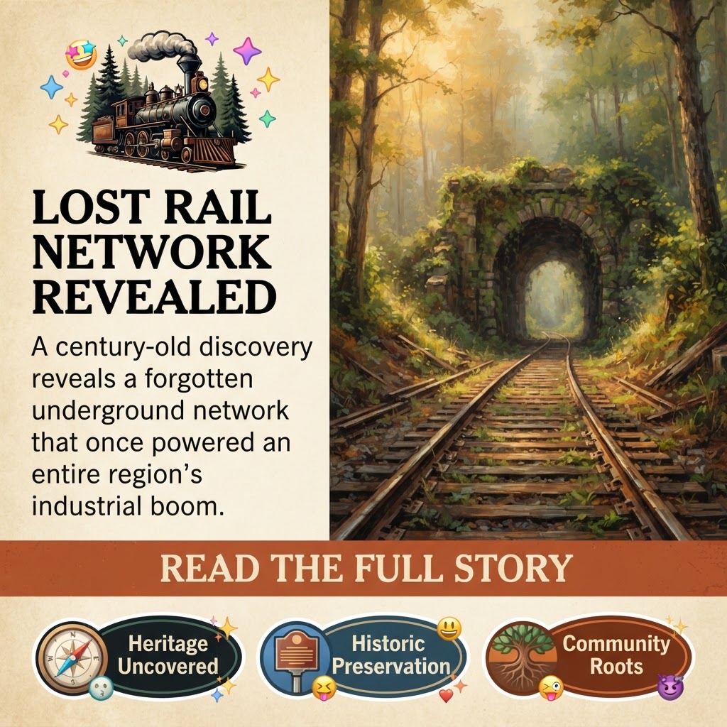
🚂 Hidden History: Rare 1919 Map Reveals Dunlap’s Coal Industry Roots on Cumberland Plateau
The Sequatchie Valley’s rugged hills and rolling ridges have long been shaped by more than just nature-decades of coal mining left an indelible mark on the landscape. A newly shared 1919 map from the Dunlap Coke Ovens Coal Mining Museum and Park reveals the intricate web of railroads, mine entrances, and industrial activity that once powered the region’s economy across approximately 17,000 acres in Sequatchie County. For locals who’ve walked the trails or driven along historic routes like Fredonia Mountain and Cagle Mountain, this map offers a fascinating glimpse into how coal shaped Dunlap-and why those stories still matter today.
📍 SOURCE REFLECTION: A Glimpse Into the Past
The Dunlap Coke Ovens Coal Mining Museum and Park, stewards of Sequatchie County’s coal heritage, recently shared a rare 1919 map detailing the underground entrances and railroad routes of the Chattanooga Iron & Coal Corp.’s operations. The map highlights:
- Little Brush Creek Railroad: A standard-gauge line using a Baldwin 0-6-0 steam engine to haul empty cars up six miles to mines #5, #6, #7, and #8.
- Narrow-gauge “Dinky” engines: Smaller locomotives that serviced the coke ovens, including a Vulcan Dinky hoisted to the top of Fredonia Mountain at Number 2.
- Underground entrances and incline tipples: Key access points for coal extraction across the plateau’s rugged terrain.
The images accompanying the post-including a photo of a Kivesa P29F 0-4-0 engine near an incline tipple-paint a vivid picture of the machinery and infrastructure that once defined this corner of Tennessee. These artifacts are now part of the local organizations, preserved for future generations.
⭐ WHY THIS MATTERS: Why Coal History Still Resonates Today
The coal industry was once the backbone of Sequatchie County, employing thousands and shaping towns like Dunlap. While much of that era has faded from daily life, its legacy persists in:
- Land use: Abandoned mine sites, old railroad beds, and even the topography itself still reflect decades of extraction.
- Community identity: For many long-time residents, coal mining is woven into family stories, from ancestors who worked in the pits to landmarks like the historic coke ovens that now stand as museum exhibits.
- Economic transitions: As industries shift, understanding this history helps residents appreciate how far Dunlap has come-and why preserving its past can inform its future.
The map isn’t just a relic; it’s a tool for educators, historians, and curious locals to connect the dots between then and now. For families who’ve lived along routes like Highway 127 or near Cagle Mountain, seeing how coal shaped their surroundings can add depth to everyday landscapes.
🤝 COMMUNITY CONNECTIONS: Who Knew These Stories?
The Dunlap Coke Ovens Coal Mining Museum and Park plays a central role in keeping this history alive, but the story extends beyond its walls:
- Local schools: Teachers often use coal history as a case study for Tennessee’s industrial past, tying it to broader themes like labor, innovation, and environmental impact.
- Area churches and community groups: Organizations like the Fredonia Church of God have hosted events or fundraisers tied to preserving historic sites, reflecting a shared pride in Dunlap’s heritage.
- Landowners and hikers: Many residents who hike trails on Cagle Mountain or Fredonia Mountain may not realize they’re walking over former railroad beds or near old mine entrances. The map could inspire new appreciation for the land around them.
- local organizations: This group’s work ensures that artifacts like the 1919 map-and the stories behind them-aren’t lost to time.
For those who’ve visited the museum or attended events hosted by Downtown Dunlap – Facebook Page, this map serves as a reminder of how deeply coal is embedded in the valley’s collective memory.
👥 HUMAN IMPACT: Who Benefits-and Who Faces Challenges?
The map offers more than just historical trivia; it sparks questions about who was affected by coal’s rise and fall:
- Families with roots in Dunlap: Many residents can trace ancestors who worked in the mines or coke ovens. For them, this map may unlock personal connections to their heritage.
- Younger generations: As coal’s influence wanes, younger residents might see the industry as a distant chapter-until they learn how it shaped their hometown’s roads, schools, and even the names of local landmarks like Coal Creek.
- Economic developers: Understanding the history of industrial sites could inform modern revitalization efforts. For example, repurposing old railroad corridors for trails or recreational use mirrors projects seen in other Appalachian communities.
- Environmental stewards: The map also raises questions about legacy pollution and land reclamation. As Dunlap continues to balance growth with conservation, these historical sites offer lessons-and warnings-about balancing progress with responsibility.
🏔️ LOCAL PERSPECTIVE: Why This Story Stands Out in Sequatchie County
Sequatchie County’s coal history is distinct from other parts of Tennessee due to its isolation and the Cumberland Plateau’s rugged terrain. Unlike flatter regions where railroads could stretch farther, Dunlap’s operations relied on steep inclines, narrow-gauge tracks, and innovative engineering-like hoisting engines up mountainsides-to transport coal. This made the valley’s industry both resilient and resourceful.
What sets this map apart is its specificity: it names exact routes (e.g., Little Brush Creek Railroad), mines (#5-#8), and even the types of locomotives used. For locals who’ve heard stories about “the old railroad tracks” near their homes, seeing them mapped out adds a layer of tangible history. It’s not just about coal-it’s about how people adapted to the land, built communities around it, and left their mark.
This isn’t the first time Dunlap has shared such artifacts. The museum’s ongoing efforts to digitize and preserve coal-era documents reflect a broader trend in the Sequatchie Valley: a growing appreciation for preserving stories that might otherwise be forgotten as younger generations move away or focus on new industries like tourism.
🌱 OPPORTUNITIES FOR CONNECTION
For those eager to dive deeper into Dunlap’s coal history-or even explore the landscape it shaped-here are ways to engage:
- Visit the Dunlap Coke Ovens Coal Mining Museum and Park: The museum offers a chance to see preserved artifacts, walk through restored coke ovens, and learn from staff about the industry’s impact. (Note: Hours and events may vary-check their Facebook page or call ahead.)
- Join a historical walking tour: If the museum hosts guided hikes along old railroad beds or mine entrances, these can turn abstract history into tangible experiences.
- local organizations: The association often organizes lectures, film screenings, or workshops tied to local heritage. Their archives are a goldmine for researchers and curious locals alike.
- Share your family’s stories: Many residents have relatives who worked in coal. The museum encourages oral histories-your great-grandfather’s tales of “the old pit” could become part of the county’s record.
- Explore with a map in hand: Print or save the 1919 map and use it as you drive or hike. Can you spot remnants of the Little Brush Creek Railroad? Where might mine entrances have been?
🗓️ WHAT RESIDENTS SHOULD KNOW
While this map is a static artifact, it opens doors to ongoing conversations:
- The museum’s archives are open to researchers: If you’re interested in coal history, family genealogy, or even the evolution of Dunlap’s infrastructure, the Sequatchie Valley Historical Association can guide you to primary sources.
- Support local preservation efforts: Donations or volunteer hours at the museum help ensure these stories aren’t lost. Check their Facebook page for upcoming fundraisers or workdays.
- Stay tuned for updates: The museum occasionally unveils new findings or hosts special exhibits tied to coal history. Following them on social media is a great way to stay informed.
- Teach the next generation: Parents and teachers can use this map as a classroom tool. Connecting kids to their community’s past-whether through school projects or family outings-can foster pride in Dunlap’s heritage.
🔮 WHAT HAPPENS NEXT: The Future of Coal History in Sequatchie County
The 1919 map is more than a historical curiosity; it’s a stepping stone for future projects:
- Digital preservation: Efforts to digitize old maps, photographs, and documents will make this history accessible online, allowing researchers (and curious locals) to explore it from anywhere.
- Public art or interpretive signs: Imagine a historical marker near an old railroad bed or a mural at the museum showcasing the 1919 map. These could turn abstract history into visible landmarks.
- Collaborations with schools: Partnerships between the museum and local educators could lead to curriculum tie-ins, field trips, or even student-led projects documenting coal’s legacy.
- A “Coal Trail” initiative: Some Appalachian communities have repurposed old railroads into hiking or biking trails. Could Dunlap’s history inspire a similar project on Cagle Mountain or Fredonia?
For now, the map invites residents to ask: What else might we uncover? Whether it’s forgotten mine shafts, family photos of workers, or oral histories, the past is waiting to be explored.
💬 COMMUNITY QUESTIONS
As you reflect on this map and Dunlap’s coal history, consider these questions:
- Have you heard stories from family members about working in the mines or coke ovens? What do those tales reveal about life in Sequatchie County?
- How might preserving coal-era sites-like old railroad beds or mine entrances-benefit Dunlap today, whether through tourism, education, or community pride?
- The map shows how coal shaped the land. Can you think of other examples where human activity has left a lasting mark on Sequatchie County’s landscape? (Think: roads, farms, or even old homesteads.)
- If you were to design a modern “Coal Heritage Trail” in Dunlap, what historic sites would you include-and why?
- How can younger generations stay connected to their community’s industrial past without romanticizing it? What lessons should we carry forward?
✨ LONG-TERM COMMUNITY IMPACT: Beyond the Map
The 1919 map is a snapshot, but its legacy could ripple outward in meaningful ways:
- Economic revitalization: By leveraging coal history as a draw for tourism or education, Dunlap could attract visitors who appreciate its unique heritage-just as other Appalachian towns have done with their mining past.
- Cultural identity: For residents, knowing the stories behind their surroundings fosters a deeper connection to place. It’s one thing to live in Dunlap; it’s another to understand how your hometown was built-and why its hills and valleys tell those tales so clearly.
- Environmental awareness: As Sequatchie County grapples with modern land-use challenges, the history of coal extraction offers lessons about sustainability, reclamation, and balancing progress with preservation.
- A bridge between generations: When younger residents learn about their ancestors’ work in the mines-or even the challenges they faced-they gain a fuller picture of what made Dunlap thrive. That shared history can strengthen community bonds.
🧵 COMMUNITY THREADS: The Invisible Networks Behind the Map
The 1919 map doesn’t exist in isolation-it’s tied to deeper threads that weave through Dunlap’s past and present:
🔗 THE BANK-CLIENT RELATIONSHIP
Behind every railroad car full of coal was a financial network. The Chattanooga Iron & Coal Corp.’s operations required loans, investments, and partnerships with banks in cities like Chattanooga or Nashville. While the names of those institutions may have faded, their impact is visible in Dunlap’s early 20th-century growth-from schoolhouses built with industry profits to the roads that connected mines to markets. Today, local businesses like Elder’s Ace Hardware-Dunlap or Coal & Iron Diesel Performance carry on that legacy of serving a community shaped by hard work and resourcefulness.
🚂 THE RAILROAD-LANDSCAPE CONNECTION
The map’s detailed routes reveal how railroads didn’t just transport coal-they reshaped the land. Steep inclines required innovative engineering, like the Vulcan Dinky engine hoisted up Fredonia Mountain. These tracks carved paths through forests and farmland, leaving behind trails that hikers still follow today. The thread here is clear: Dunlap’s natural beauty and its industrial history are intertwined. As the county considers new developments-whether for tourism or agriculture-the lessons of how railroads once adapted to the Cumberland Plateau’s ruggedness offer valuable insights.
👨🔧 THE HANDS BEHIND THE MACHINERY
The map’s locomotives and tipples were operated by real people-engineers, laborers, and families who made their lives around the mines. Many of these workers lived in Dunlap or nearby towns like Whitwell, where the Coal Miners Museum preserves similar stories. The thread here is one of human resilience: immigrants, migrants, and local families who built careers-and sometimes sacrificed-for the industry. Today, their descendants might work in different fields, but their contributions are still felt in Dunlap’s tight-knit community.
📜 THE HISTORIAN-COMMUNITY PARTNERSHIP
The Sequatchie Valley Historical Association’s work to archive maps like this one is a direct thread between scholars and the public. Without volunteers, donations, or curious locals who share family photos, these artifacts would remain hidden in dusty archives. The association’s role bridges the gap between “history” as an academic subject and history as something that shapes everyday life. For residents who’ve ever wondered about their hometown’s past, this partnership is a reminder: Your stories matter.
🌱 THE LAND’S MEMORY
The Cumberland Plateau doesn’t forget. Even after coal operations ceased, the land retained traces of its industrial past-abandoned tunnels, shifted earth, and even changes to water flow. The thread here is environmental: as Dunlap plans for future growth (whether in agriculture, tourism, or new industries), understanding how coal altered the landscape helps guide sustainable choices. It’s a reminder that every generation inherits-and shapes-the land they live on.

0 Comments