
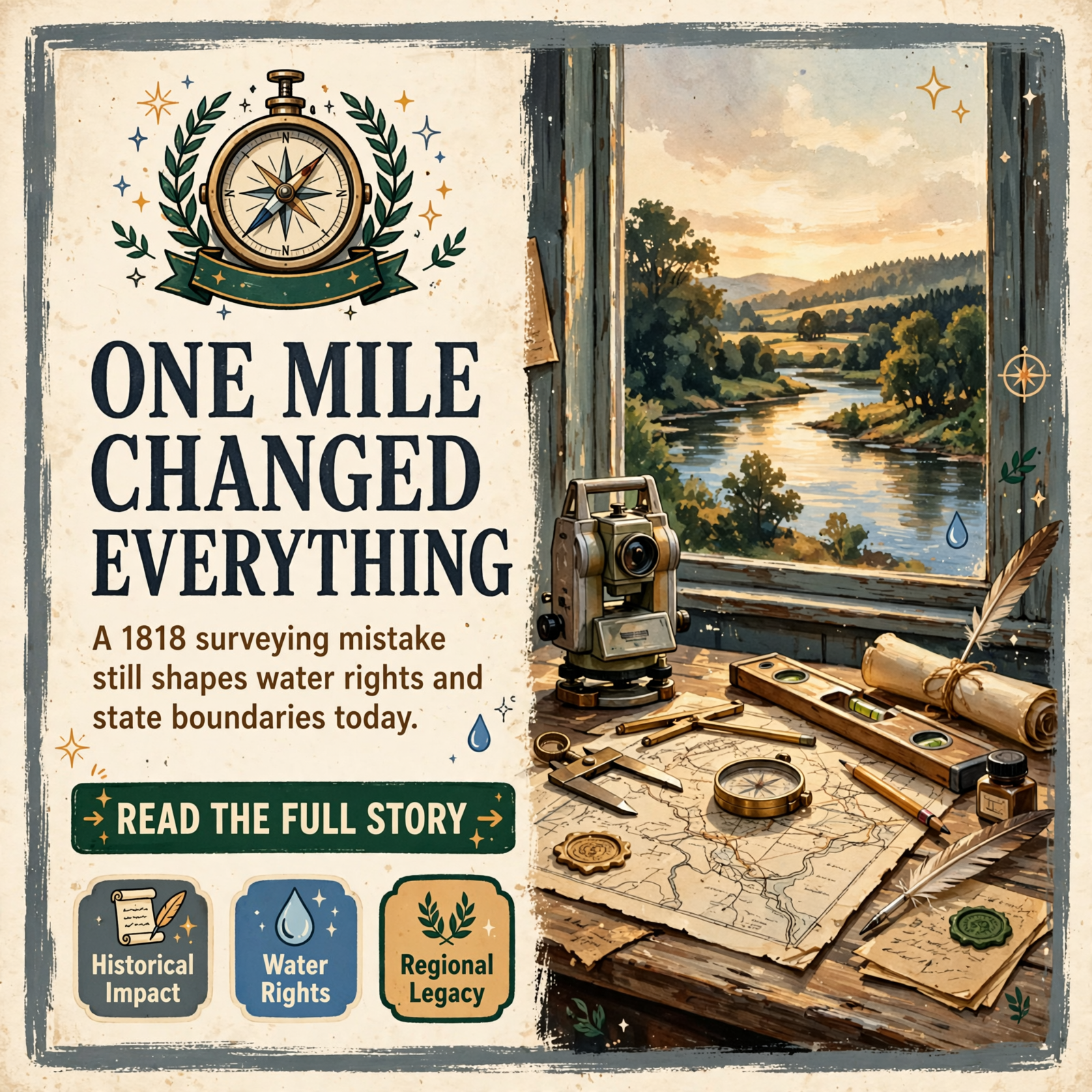
🧭 Georgia’s Northern Border Has Been One Mile Off Since 1818-And It Still Matters Today
For readers across the Sequatchie Valley and nearby counties, the story of Georgia’s misplaced northern boundary is more than historical trivia-it’s a reminder of how early surveying errors can reshape state lines, water rights, and regional identity for centuries. The mistake, made during the first official survey of the Tennessee-Georgia border, continues to influence conversations about resources and territory in the region.
📍 How a Mathematical Error Became a Permanent Border
When Tennessee became a state in 1796, Congress established its southern boundary at the 35th parallel-a line meant to separate Tennessee from Georgia, which had been a state since 1788. For more than two decades, nobody actually surveyed that line on the ground. It wasn’t until after the Alabama Territory was created in 1817 that Tennessee and Georgia legislatures agreed to hire surveyors to mark the boundary officially. 🗺️
Georgia selected James Camak, a mathematician who taught at the University of Georgia, to lead the survey. According to historical accounts, the surveying equipment was outdated. One Georgia surveyor reportedly requested better instruments from the governor but was denied. In 1818, the teams ran the line and marked what they believed to be the 35th parallel-but they placed it approximately one mile south of its actual location.
The error might have gone unnoticed, except that the following year, a second crew surveying the boundary from the east arrived about half a mile north of where the first crew had stopped. Rather than correct the original mistake, they simply ran a short connecting line south to join the two surveys. That small jog in the boundary is still called Montgomery’s Corner, named after one of the Georgia surveyors involved.
💧 Why One Mile Matters: Water, Land, and Resources
A one-mile discrepancy might seem trivial on a map, but the consequences are tangible. The true 35th parallel crosses the Tennessee River near present-day Haletown. Under the correct line, the river would belong partly to Georgia. However, as the boundary was actually drawn in 1818, the entire Tennessee River remains in Tennessee. In Marion County, the water comes within about 200 feet of the Georgia line but never quite touches it. 🌊
This distinction has real implications for water rights, resource management, and territorial claims-issues that have resurfaced multiple times over the past two centuries. Tennessee’s legislature ratified the 1818 survey, but Georgia’s never did, leaving the question technically unresolved and occasionally contentious.
⭐ Why This Matters to the Sequatchie Valley Region
For residents of Marion County and surrounding areas in the Sequatchie Valley, this historical boundary dispute carries practical weight. Water resources, land ownership, and state jurisdiction all hinge on where that line actually sits. The fact that Georgia has never officially ratified the survey means the question could theoretically resurface-and it has, more than once in the two centuries since the original error.
Understanding this history helps explain why regional water rights, property disputes, and state resource management can be complicated. It also illustrates how decisions made by surveyors with outdated equipment in 1818 continue to shape the legal and geographical landscape today. 🏞️
🤔 Community Questions Worth Considering
As you learn about Georgia’s misplaced border, consider these questions:
- How many residents in Marion County or nearby areas were aware that their state boundary was surveyed incorrectly?
- If Georgia ever formally challenged the 1818 survey, what would that mean for water rights and land ownership in the region?
- Why has this issue remained unresolved for over 200 years, and what would it take to settle it permanently?
- How do historical surveying errors like this one continue to affect modern property disputes and resource management?
📚 Long-Term Community Impact
This boundary story reveals how early governmental decisions-even mistakes-become embedded in law and geography. For the Sequatchie Valley and Marion County, the 1818 survey error represents a permanent fixture of regional identity and resource management. Should Georgia ever formally challenge the boundary, it could reopen questions about water rights, land jurisdiction, and state authority that have been settled (if uneasily) for two centuries.
More broadly, the story reminds us that regional history is not just about what happened-it’s about what continues to happen because of decisions made long ago. The Tennessee River, the state line, and the resources within that one-mile discrepancy remain subjects of potential dispute, making this historical error a living part of the region’s ongoing story. ✨
🔗 Community Threads: History, Geography, and Regional Identity
The Surveyor’s Legacy: James Camak and the surveyors of 1818 made decisions based on the tools and knowledge available to them. Their work, though flawed, became the legal foundation for state boundaries that millions of people have lived within for over two centuries. Understanding their role helps residents appreciate how individual expertise-and its limitations-shapes regional geography.
Water Rights and Regional Relationships: The Tennessee River’s placement relative to the state line connects Marion County to broader questions about water management, resource sharing, and interstate cooperation. This thread links local residents to state-level policy and historical decisions that affect everyday life.
Unresolved History as Community Identity: The fact that Georgia never ratified the 1818 survey means the boundary question remains technically open. For residents of the region, this unresolved status is part of local identity-a reminder that history is not always settled, and that regional relationships can carry unfinished business from centuries past.
🤔Source
Gary Williams – A historical and geographical discussion about how Georgia’s northern border was incorrectly surveyed in 1818, leaving a one-mile discrepancy.



0 Comments