
🎃 Dry Through Next Wednesday, Better Rain Odds Around Halloween Weekend, and a New Drought Map: Your Dunlap Weather & Outdoors Week
Or: River Fog at Daybreak, Sunny Low 70s, Chilly Low-40s Weekend Nights, Bear Archery Ends Friday, and Plateau Color Near Its Best
By Thomas Seest, Dunlap.Today · Thursday, October 22, 2026
Good Thursday morning. Weather Service airport sensors show Crossville at about 39 degrees around 7:30 this morning and Chattanooga at about 46, both under clear skies. Dunlap’s forecast calls for a sunny day with a high near 75 and light north winds. National Weather Service Morristown’s key messages are the same friendly pair we’ve heard all week: patchy early fog near rivers and lakes, and “dry weather dominates the forecast period, with cool mornings and pleasant afternoons each day.”
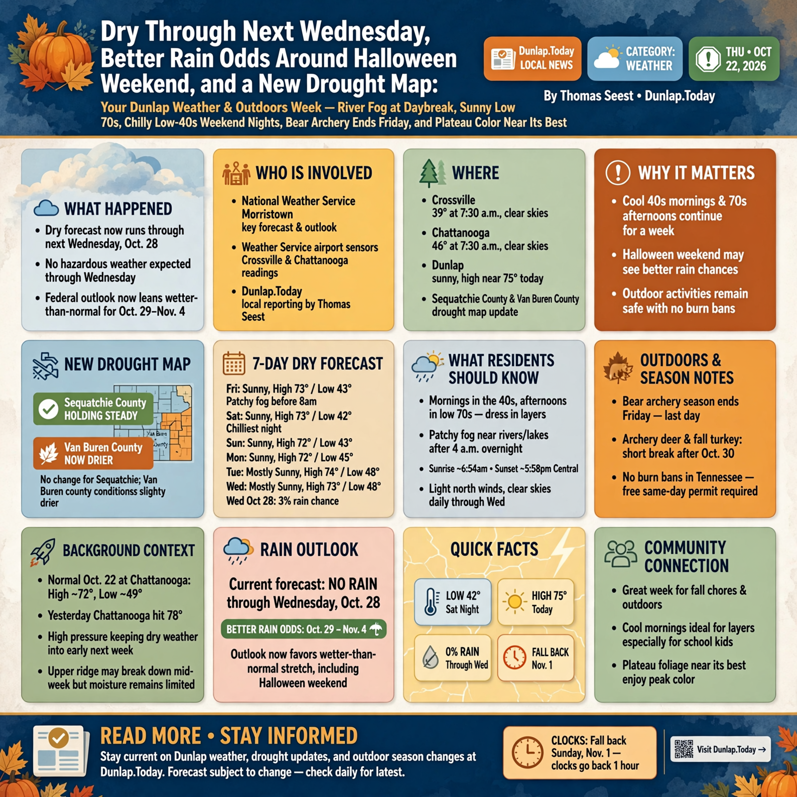
Here’s the week in one breath. The dry forecast now runs all the way through next Wednesday, Oct. 28, with highs from 72 to 75 and lows from 42 to 48. Saturday night, near 42, is the chilliest. Morristown’s Hazardous Weather Outlook says no hazardous weather is expected through Wednesday, and there were no watches, warnings or advisories for Dunlap this morning. The news worth circling: the federal rain outlook for Oct. 29 to Nov. 4 got a little more confident about a wetter-than-normal stretch, which would take in Halloween weekend. Today’s new drought map shows Sequatchie County holding steady while Van Buren County got a bit drier. There are still no burn bans in Tennessee, and the archery-only bear season ends Friday.
⏱️ What this means for you in 30 seconds
- Today: Sunny, high near 75. Tonight clear, near 43, with patchy fog after 4 a.m.
- This week: Sunny or mostly sunny every day. Highs 73, 73, 72, 72, 74, 73 (Friday through Wednesday); lows 42 to 48.
- Rain: None through Wednesday. Odds lean wetter than normal Oct. 29 to Nov. 4.
- Burning: No bans. Free same-day permit required. Saturday through Wednesday have the damper afternoon air.
- Remember: Bear archery ends Friday. Archery deer and fall turkey take a short break after Oct. 30.
- Clocks: Fall back Sunday, Nov. 1.
📅 Seven More Dry Days, Now Stretching to Next Wednesday
Morristown’s forecasters say high pressure will keep “our weather dry into early next week.” They’re watching one possible change: “Models suggest the upper ridge may break down and some models have a front approaching by mid week, but even then moisture looks very limited and thus we have a dry forecast for the entire period through Wednesday.” For reference, a normal Oct. 22 at the Chattanooga airport runs about 72 for a high and 49 for a low. Yesterday hit 78 there. Dunlap’s point forecast, updated about 6:06 a.m. Central:
- Friday: Patchy fog before 8 a.m., then sunny, high near 73. Night: clear, near 43.
- Saturday: Sunny, high near 73. Night: mostly clear, near 42, the chilliest of the week.
- Sunday: Sunny, high near 72. Night: mostly clear, near 43.
- Monday: Sunny, high near 72. Night: partly cloudy, near 45.
- Tuesday: Mostly sunny, high near 74. Night: partly cloudy, near 48.
- Wednesday: Mostly sunny, high near 73. Rain chance just 3%.
What it means for you: This forecast is like a church potluck where everybody brought the same casserole: it’s good, and there’s plenty of it. Mornings start in the 40s and afternoons reach the low 70s, so dress the kids in layers they can peel off by recess. Sunrise in Dunlap is about 6:54 a.m. Central and sunset about 5:58 p.m., so early bus stops are still in half-light, and fog likes the river and creek bottoms. Low beams and a little extra following distance. With nights near 42, the valley stays above freezing in this forecast, but the plateau tops usually run a few degrees colder, so tender potted plants up high could come in Saturday night.
👉 Read more (Dunlap 7-day forecast) · NWS Morristown forecast discussion · Hazardous Weather Outlook
🌧️ Rain Odds Firm Up a Notch for Oct. 29 to Nov. 4

Yesterday we told you the federal Climate Prediction Center had started leaning wetter for early November. Its newest outlook, issued Wednesday afternoon, leans a little harder. The 8-to-14-day map for Oct. 29 to Nov. 4 now shades all of Tennessee at about a 40 to 50 percent chance of above-normal rain, up from 33 to 40 percent the day before. The written discussion says the wetter area “expands across all of the Midwest, the Southeast, and the southern Mid-Atlantic in week 2, with predicted precipitation later in the week-2 period.” Just before that, the 6-to-10-day outlook for Oct. 27 to 31 now calls Middle and East Tennessee “near normal” for rain, instead of the drier lean it showed earlier. Both outlooks still favor warmer than normal temperatures for the eastern half of the country.
What it means for you: Think of this like the feed store saying the next truck is “probably coming next week.” You don’t cancel the order, and you don’t stand at the door waiting, either. These outlooks talk about odds over a whole week, not which day or how much. Halloween falls inside that window, so it’s worth checking back, but there’s no reason to change plans yet. If you’ve got hay to bring in, gutters to clean or a roof patch to finish, the dry days through Wednesday, Oct. 28 are your window. The outlook updates every afternoon, and Oct. 31 will show up in the regular seven-day forecast this weekend.
👉 Read more (Climate Prediction Center 8–14 day outlook maps) · 6–10 day outlook maps · Forecasters’ written discussion
💧 Today’s Drought Map: Sequatchie Holds Steady, Van Buren Gets Drier
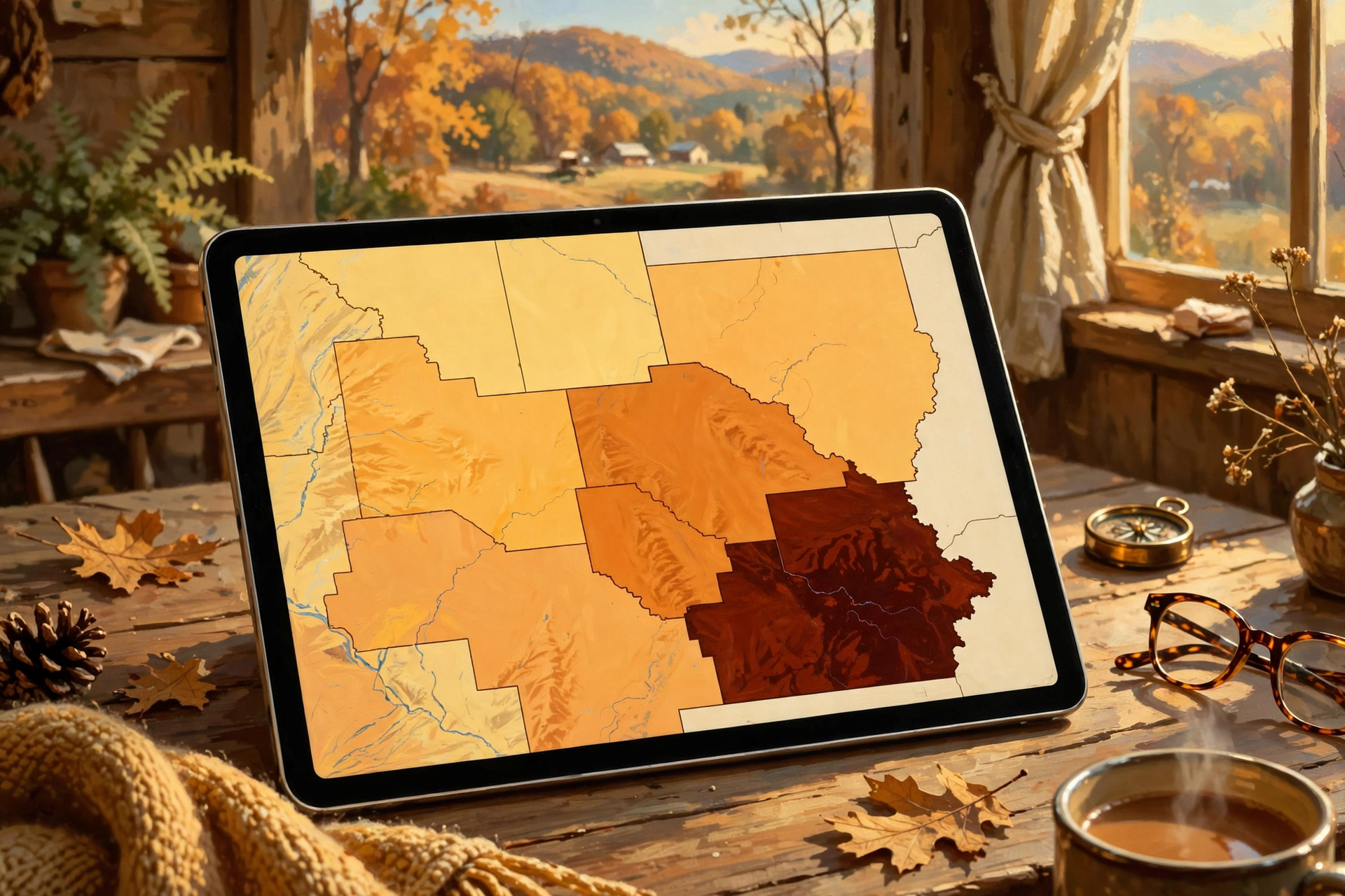
The U.S. Drought Monitor’s new weekly map came out this morning (it reflects conditions as of Tuesday). Here’s how our area stacks up, by county:
- Sequatchie: All of the county in at least moderate drought, with about 6% in severe drought. Unchanged from last week.
- Grundy: About 98% in severe drought, the driest in our neighborhood. Unchanged.
- Van Buren: About 80% in at least moderate drought, and the severe-drought slice grew from about 8% to 20%.
- Marion: Nearly all in at least moderate drought, about 19% severe. Unchanged.
- Bledsoe: About 34% in moderate drought; the rest is “abnormally dry.” Unchanged.
- Hamilton: About 10% in moderate drought; the rest abnormally dry. Unchanged.
For the bigger picture, Chattanooga’s airport has 2.71 inches of rain so far in October, a bit above normal thanks to earlier storms, but it’s about 3.3 inches behind since Sept. 1 and about 9.5 inches behind for the year. Nashville station WSMV reported this week that the dry stretch “could make color a little patchy this year,” because thirsty trees shut down early.
What it means for you: The dry ground is like a sponge left out on the counter: it’ll soak up a good rain when one comes, but it won’t fix itself overnight. Keep giving new trees, shrubs and fall plantings a deep drink about once a week. Keep an eye on pond levels and stock tanks, and if you’re on a spring or shallow well, go easy on the extras like washing the truck. Nothing here calls for alarm. It’s just a good season to be thrifty with water.
👉 Read more (U.S. Drought Monitor: Tennessee) · Chattanooga daily climate report · WSMV: dry stretch and fall color
🔥 Burn Piles: Today and Friday Are Dry. The Weekend Is Kinder.
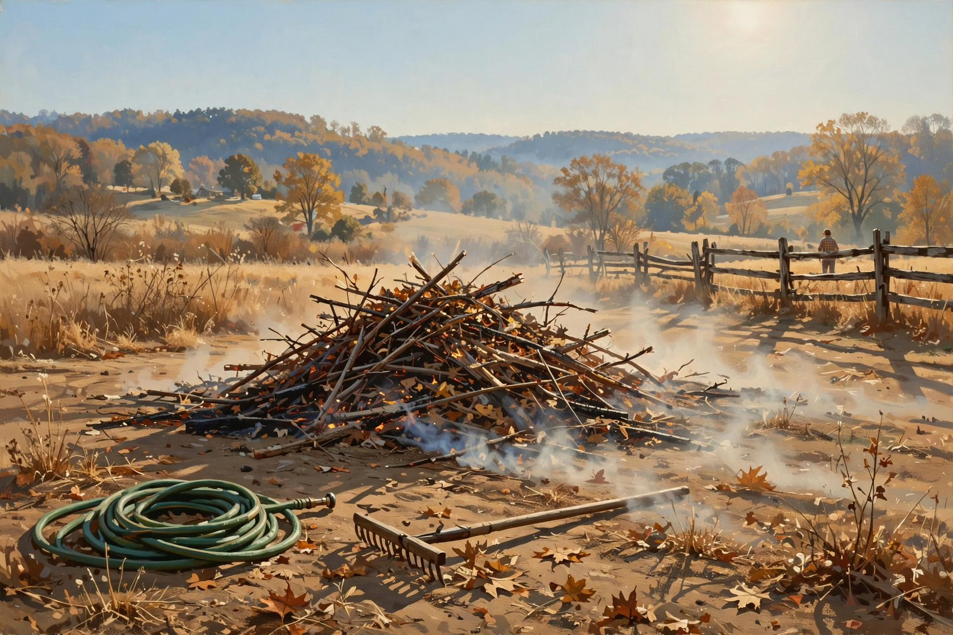
Morristown’s fire-weather forecast for the Sequatchie County zone puts the lowest afternoon humidity at about 29 to 34 percent today and Friday, then about 41 Saturday, 44 Sunday, 46 Monday, 43 Tuesday and 46 Wednesday, with winds under 10 mph. Smoke lift (“dispersion”) is rated fair to generally good this afternoon, very poor tonight and poor Friday, which means smoke tends to hang low.
Tennessee’s burn-ban page still read this morning: “Currently, there are no active burn bans in the State of Tennessee.” That’s statewide. Locally, you still need a free same-day permit from the Division of Forestry to burn leaves or brush outside city limits, through May 15.
What it means for you: Picking a burn day is like picking a day to paint the porch: you can do it any day, but some days go a whole lot smoother. Saturday through Wednesday are the better bets. Get the permit at BurnSafeTN.org, in the MyTN app, or by calling 1-877-350-BURN (2876) on weekdays. Keep piles small, keep a hose and rake handy, never walk off, and have it completely out by midnight. Town residents, check city rules first.
👉 Read more (Morristown fire-weather forecast) · Burn-ban status · Tennessee burn permit rules
🦌 Hunters’ Calendar: Bear Archery Ends Friday, Then a Short Break for Bowhunters
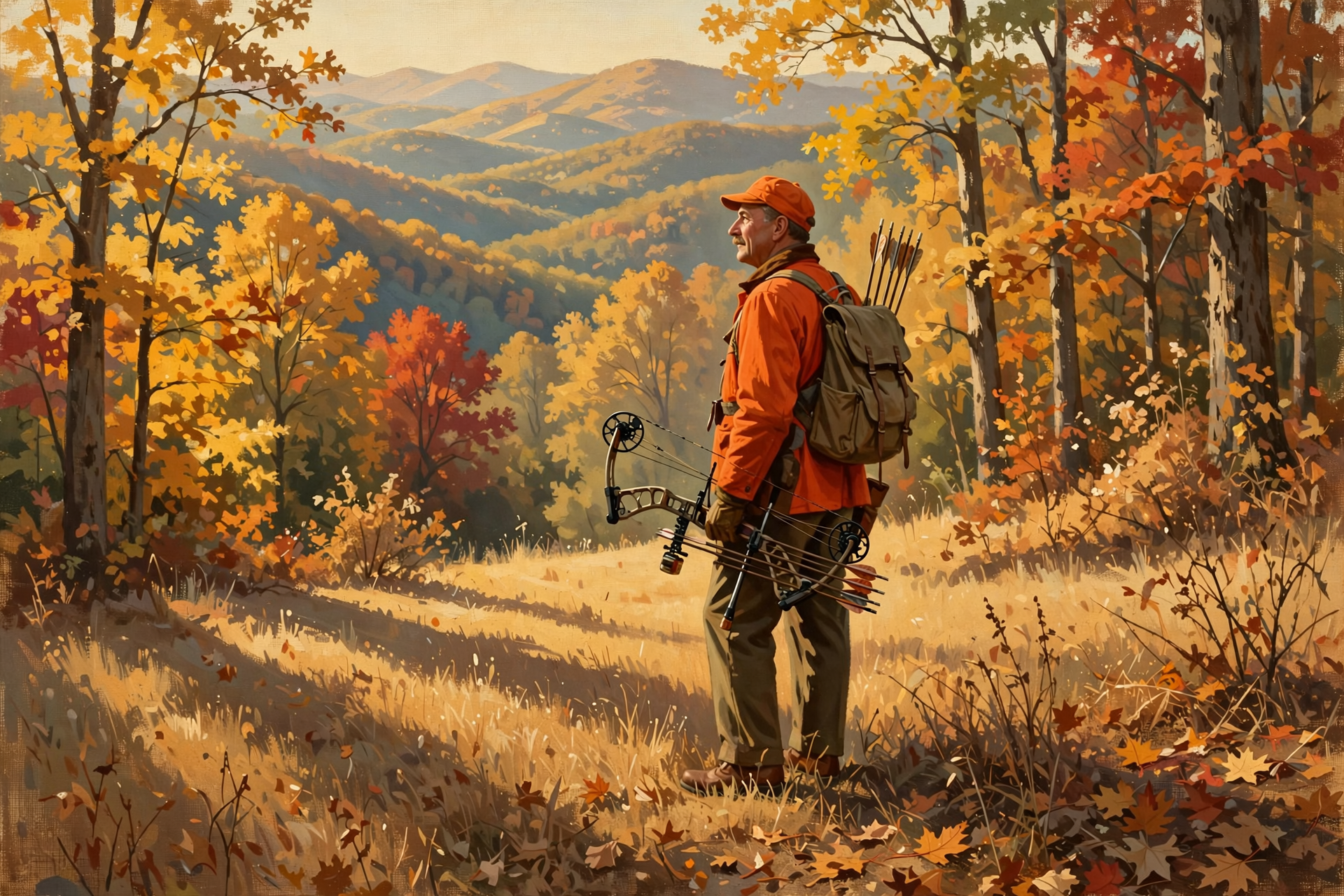
These dates are statewide from TWRA’s season summary, with notes for our area. Sequatchie County is in Deer Unit 4 and the Transitional Bear Zone; Marion and Hamilton are in Deer Unit 5.
- Friday, Oct. 23: Last day of the archery-only bear season.
- Through Friday, Oct. 30: Archery deer, archery fall turkey and shotgun/archery fall turkey.
- Saturday–Sunday, Oct. 31–Nov. 1: Young Sportsman deer hunt (ages 6–16, with a non-hunting adult 21 or older). In the Transitional Bear Zone, the young sportsman bear hunt those days is private land only.
- Monday–Friday, Nov. 2–6: Archery deer and archery-only fall turkey reopen.
- Saturday, Nov. 7: Muzzleloader/archery deer season opens, through Nov. 20.
A local reminder from Marion County: this Saturday and Sunday, Oct. 24–25, Prentice Cooper State Forest west of State Route 27 (Suck Creek Road) is closed to all but licensed hunters for a Young Sportsman hunt. Edwards Point, east of Route 27, stays open.
What it means for you: The bowhunting calendar has a hiccup in it, like a fence with one gate: archery stops after Oct. 30, the kids get the woods Halloween weekend, and archery picks back up Nov. 2. Write it on the feed-store calendar. With afternoons in the low 70s, bring ice to cool meat quickly, and wear bright orange when guns are in the woods, whether you’re hunting or hiking.
👉 Read more (TWRA hunting seasons summary) · Prentice Cooper hunt dates
🍁 Leaf Lookers: The Plateau Is Near Its Best, and the Moon Is Full Sunday
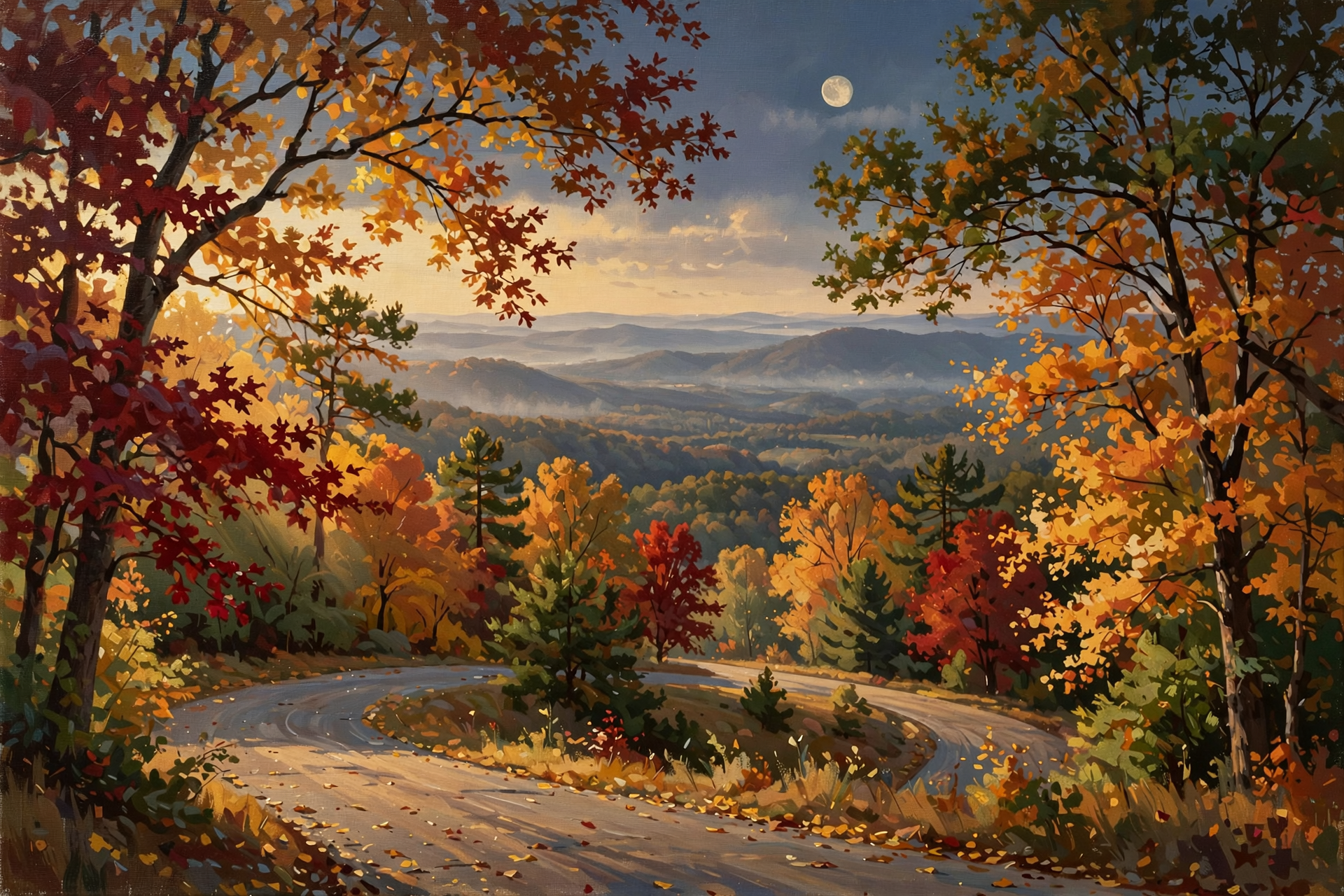
Tennessee State Parks suggests late October for color on the Cumberland Plateau. WSMV says color is moving in “starting first on the Upper Plateau and spreading west,” with Middle Tennessee expected to peak “right around November 1,” and advises getting “outside over the next couple of weeks for the best color.” These are estimates, and dry years can be patchy, so treat them as a ballpark. As a bonus for evening drives, the U.S. Naval Observatory lists the full moon at 11:12 p.m. Central on Sunday, Oct. 25.
What it means for you: Leaf season is like the first ripe tomatoes: the best ones don’t wait on you. Every day through Wednesday is forecast sunny, which is good for photos and overlooks. Waterfalls run low in a dry fall, so go for the views instead. A Sunday-evening drive home under a nearly full moon would be a fine way to end the weekend. Just watch for deer along the roadsides at dusk.
👉 Read more (Tennessee State Parks fall color guide) · WSMV fall color outlook · Naval Observatory moon phases
✅ Your Thursday-to-Wednesday Checklist
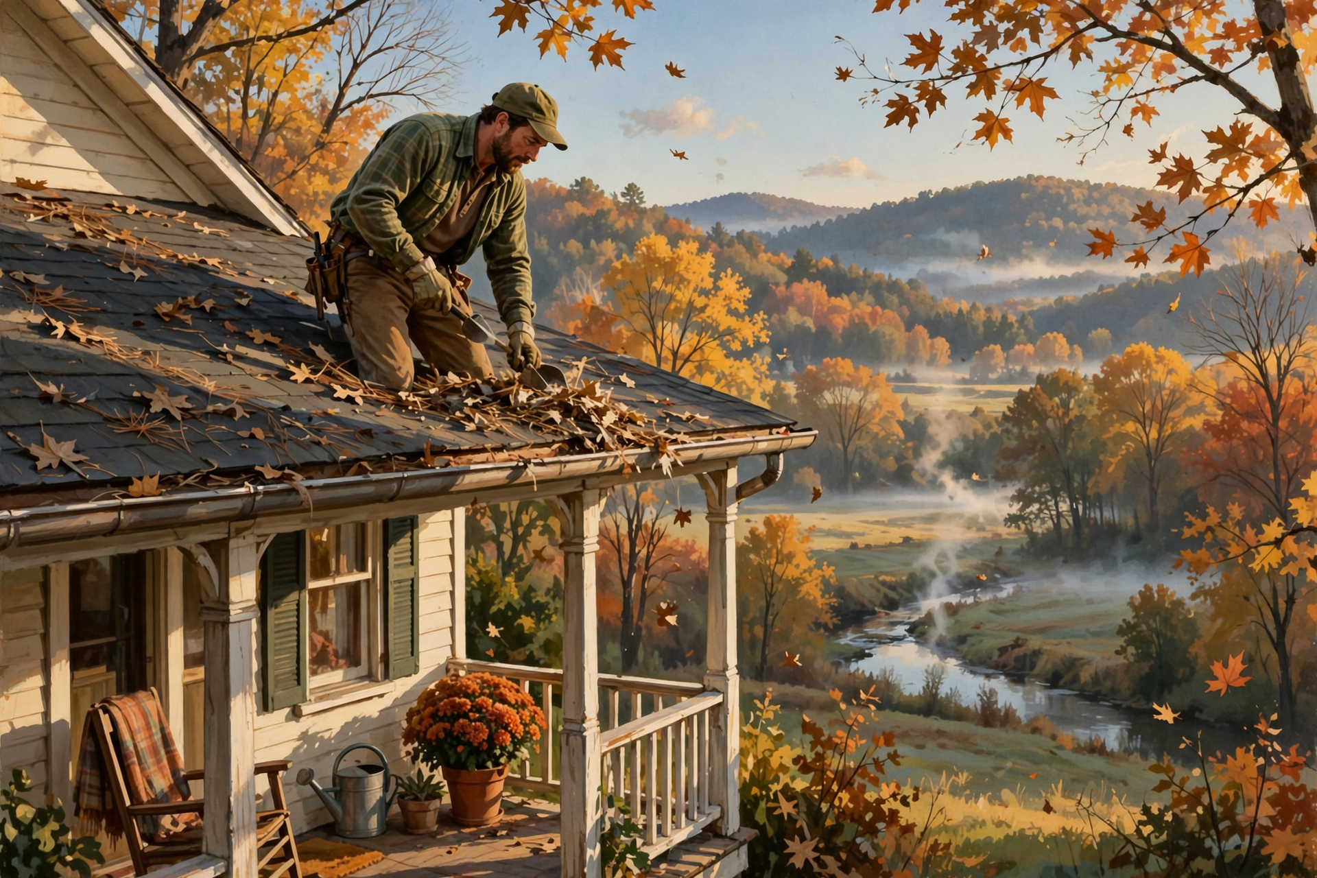
- ✅ Friday and Saturday, before 8 a.m.: Watch for fog near rivers and creek bottoms. Low beams, slow down.
- ✅ Friday, Oct. 23: Last day of archery-only bear season.
- ✅ Saturday–Sunday, Oct. 24–25: Prentice Cooper west of Hwy. 27 is hunters only. Edwards Point stays open.
- ✅ Saturday night: Chilliest night, near 42. Bring in tender potted plants on higher ground.
- ✅ Saturday through Wednesday: Better burn days. Free permit first, out by midnight.
- ✅ Sunday night, Oct. 25: Full moon. Watch for deer on evening drives.
- ✅ By Wednesday, Oct. 28: Finish hay, gutters and roof jobs. Rain odds tilt up after that.
- ✅ Friday, Oct. 30: Last day of archery deer and fall turkey until Nov. 2.
- ✅ Sunday, Nov. 1: Clocks fall back one hour.
Practical rule: Dry through Wednesday, maybe wetter after. Finish the outside jobs early, burn on the damper days with a permit, and check back before Halloween.
— Dunlap.Today
📚 Plain-English Weather Glossary

- Upper ridge: A big dome of high pressure high in the sky that keeps storms steered away. It’s why we’ve been so dry.
- Front: The edge between two air masses. Fronts often bring clouds, wind shifts and rain, if there’s moisture to work with.
- 8-to-14-day outlook: A federal forecast of odds for a week-long stretch one to two weeks out. It says “wetter or drier than normal,” not which day it’ll rain.
- Near normal: Forecasters don’t see a strong lean either way, wetter or drier.
- Moderate / severe drought: Drought Monitor levels. Moderate means some crop, pasture and water stress; severe means more of it.
- Abnormally dry: The step before drought: drier than usual, but not yet a drought.
- Dispersion: How well smoke rises and spreads out. “Poor” means it tends to hang low.
- Transitional Bear Zone: TWRA’s bear-hunting area that includes Sequatchie, Marion, Grundy and Hamilton counties.
❓ Frequently Asked Questions

Is any rain in the forecast?
Not through next Wednesday, Oct. 28, according to Dunlap’s National Weather Service forecast. Federal forecasters lean wetter than normal for Oct. 29 to Nov. 4, but that’s odds, not a promise.
Will it rain on Halloween?
It’s still too early to say. Halloween falls inside the “leaning wetter” window, but the outlook doesn’t pick days. Oct. 31 should show up in the regular seven-day forecast this weekend.
Did the drought get worse in Sequatchie County?
No. Today’s Drought Monitor map shows Sequatchie unchanged: all of the county in moderate drought, about 6% in severe drought. Van Buren County’s severe-drought area grew.
Is there a burn ban?
No. Tennessee’s burn-ban page says there are no active burn bans anywhere in the state. You still need a free same-day permit to burn leaves or brush outside city limits through May 15.
What’s the best day this week to burn brush?
Based on Morristown’s fire-weather forecast, Saturday through Wednesday, when afternoon humidity runs in the 40s. Today and Friday are drier, and smoke lifts poorly Friday.
Can I bowhunt deer on Halloween weekend?
Archery deer season closes after Friday, Oct. 30, for the Young Sportsman hunt on Oct. 31 and Nov. 1, and reopens Nov. 2 through Nov. 6. Check TWRA’s guide for the details that fit you.
Will we get a frost this week?
Not in the valley, based on the current forecast, with lows of 42 to 48. Higher ground can run colder, so Saturday night is the one to watch for tender plants up top.
🔗 Other Resources
- National Weather Service: Dunlap forecast
- National Weather Service Morristown
- Morristown fire-weather forecast
- Climate Prediction Center 8–14 day outlook
- U.S. Drought Monitor: Tennessee
- BurnSafeTN: free burn permits
- Tennessee burn-ban status
- TWRA hunting seasons summary
- Prentice Cooper State Forest hunt dates
- Tennessee State Parks: when to see fall color
- U.S. Naval Observatory sun and moon times
- Sequachee Valley Electric Cooperative outages
🌤️ Easy Days Now, Maybe a Drink for the Ground Soon

Nothing in this forecast calls for worry. No storms, no watches, no burn bans and no freeze in the valley, just foggy mornings, sunny afternoons and cool nights made for an extra quilt. The odds of some rain after Halloween weekend are inching up, and the dry ground will be glad of it. Until then, take care with burn piles, finish the outdoor chores, and get out and enjoy the color while it’s here.
We’ll keep watching the sky so you don’t have to. Read Dunlap.Today for calm, practical weather in plain English.
Sources
Know about an upcoming event or story in the Sequatchie Valley? Submit it here.



0 Comments