
🌤️ Sunny Tuesday Near 72, Two Fair Burn Afternoons, a Sunny Veterans Day, Lower Rain Odds Wednesday Night and a Cold, Sunny Weekend
Or: Enjoy one more warm day, burn this afternoon or Wednesday afternoon if you hold a permit, have a lovely Veterans Day, and get the heavy coats ready before Friday.
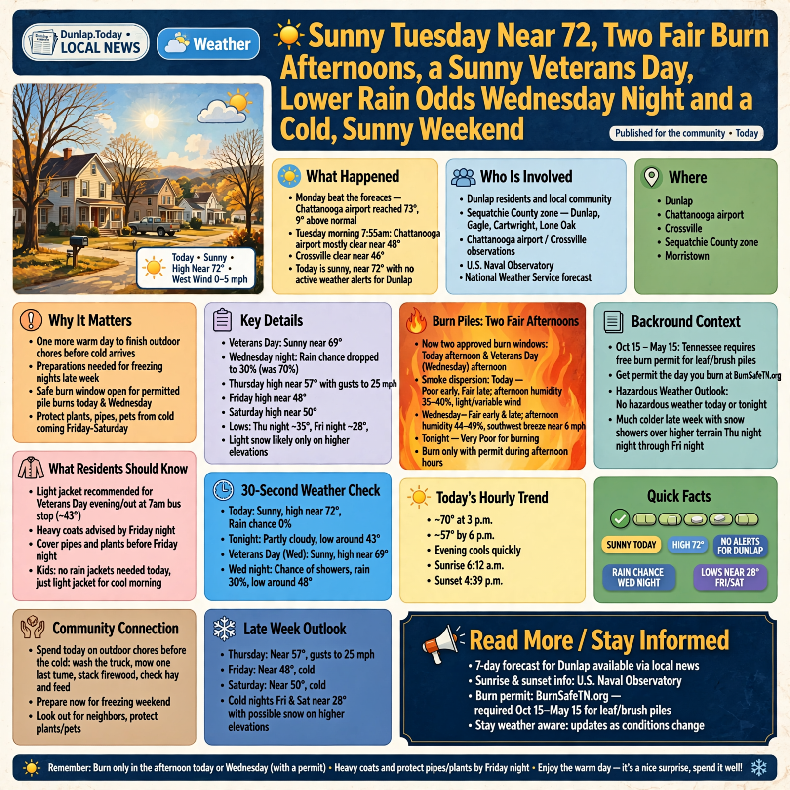
Good Tuesday morning, Valley. Monday beat the forecast again — the Chattanooga airport reached 73, nine degrees above normal — and today looks just as nice. Around 7:55 this morning, the Chattanooga airport was mostly clear near 48, and Crossville was clear near 46. Here’s the short version, with today’s updates marked: sunny today near 72 with no active weather alerts for Dunlap; this afternoon brings a “Fair” smoke-mixing window for burn piles, and update: Veterans Day gets one too; Veterans Day is sunny near 69; update: Wednesday night’s rain chance dropped to 30 percent from yesterday’s 70; then a cold Friday and Saturday, with lows near 28 and light snow likely only on the higher elevations.
⏱️ Your 30-Second Weather Check
- Today: Sunny, high near 72, west wind 0 to 5 mph. Rain chance near 0%.
- Tonight: Partly cloudy, low around 43.
- Veterans Day (Wednesday): Sunny, high near 69. About 43 at the 7 a.m. bus stop.
- Wednesday night: A chance of showers — rain chance 30%, low around 48.
- Late week: Thursday near 57 with gusts to 25 mph; Friday near 48; Saturday near 50; lows near 35 Thursday night and 28 Friday and Saturday nights.
- Alerts: None for Dunlap. Hazardous Weather Outlook: nothing hazardous today or tonight; much colder late week, with snow showers over the higher terrain Thursday night through Friday night.
- Remember: Burn only in the afternoon today or Wednesday (with a permit); light jacket for the Veterans Day evening; heavy coats and covered pipes and plants by Friday night.
☀️ Today: Sunny and Near 72 — Summer Waving From the Rearview Mirror
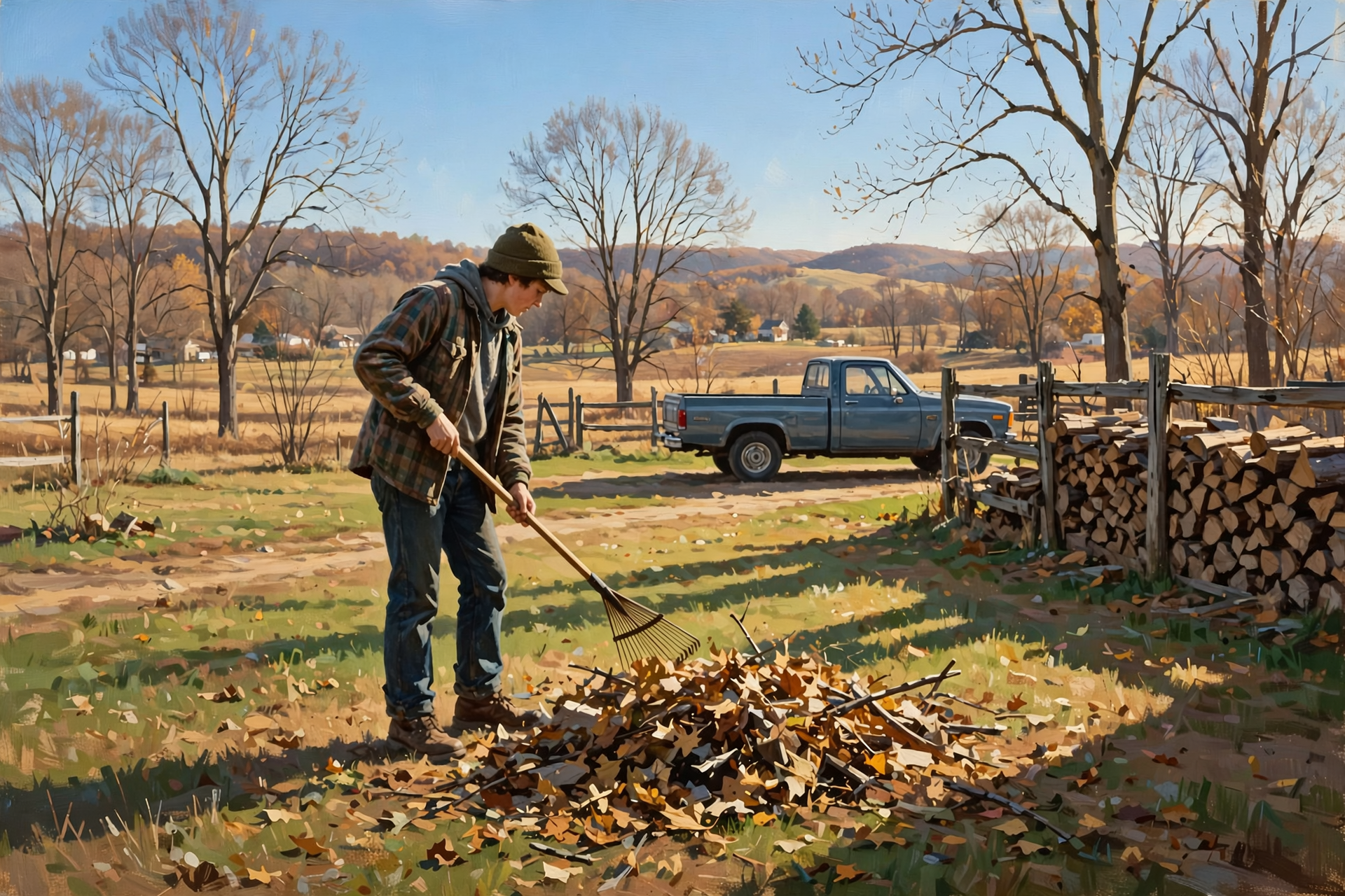
Dunlap’s National Weather Service forecast calls for a sunny Tuesday with a high near 72, a west wind 0 to 5 mph, and a rain chance near zero. The hourly forecast shows about 70 at 3 p.m. and 57 by 6 p.m., so the evening cools quickly. Tonight turns partly cloudy with a low around 43. The U.S. Naval Observatory lists Dunlap’s sunrise today at 6:12 a.m. and sunset at 4:39 p.m. Morristown’s Hazardous Weather Outlook lists no hazardous weather for today and tonight.
What it means for you: Today is like finding a twenty in last winter’s coat pocket — a nice surprise, so spend it well. It’s a good day to finish outdoor chores you’ll want done before the cold: wash the truck, mow one last time, stack the firewood, and check the hay and feed. Kids can leave the rain jackets home, but a light jacket helps at the cool bus stop.
👉 Read more (Dunlap 7-day forecast) · Naval Observatory sunrise and sunset
🔥 Burn Piles: Two Fair Afternoons — Today and Veterans Day
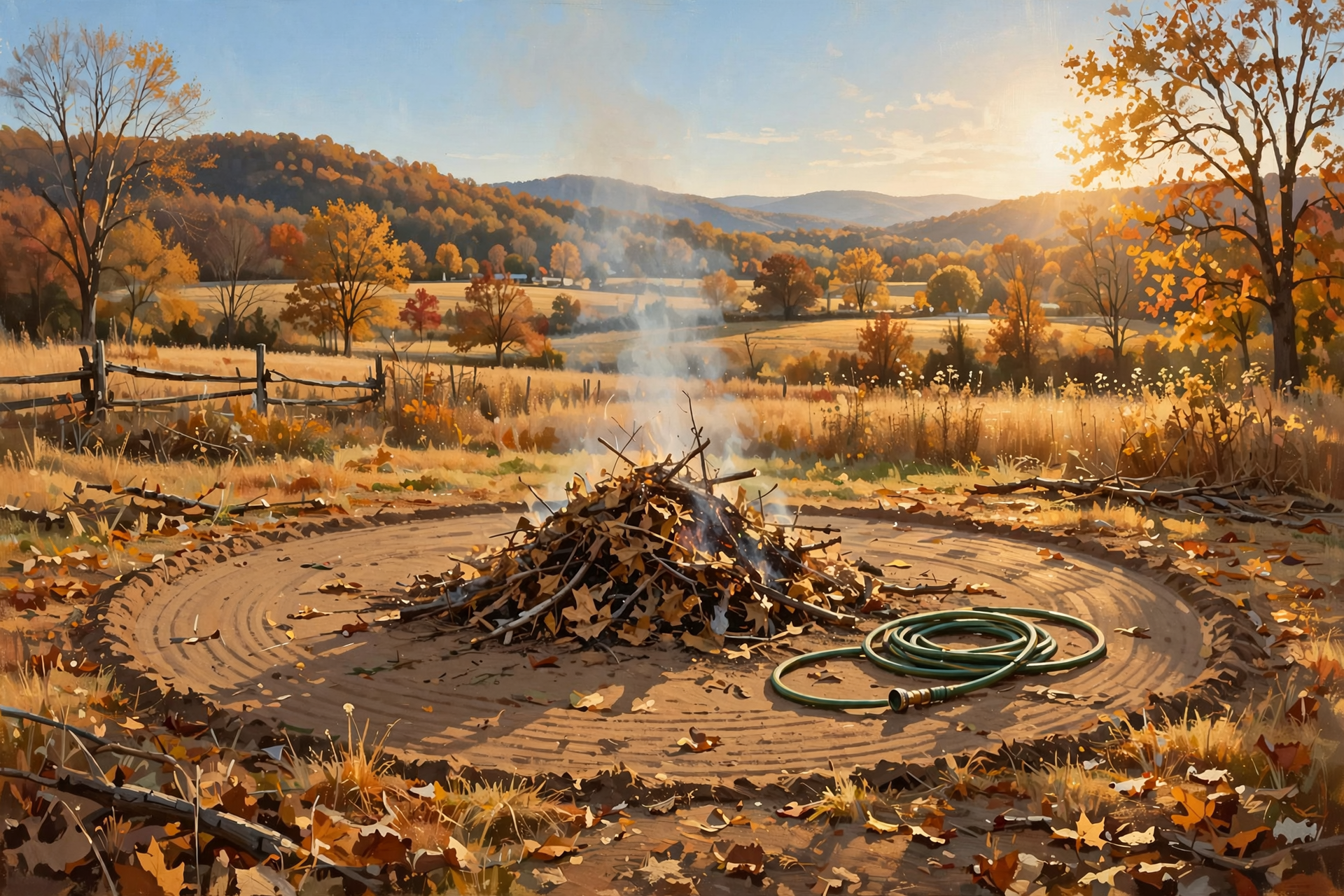
Update: yesterday, Monday afternoon was the only good window. Now there are two. The fire-weather forecast for the Sequatchie County zone (Dunlap, Cagle, Cartwright, Lone Oak), issued at 12:35 a.m. CST, rates smoke dispersion “Generally Poor” early and “Fair” late today, with afternoon humidity around 35 to 40 percent and light, variable wind. Tonight is “Very Poor.” Wednesday rates “Fair” both early and late, with afternoon humidity around 44 to 49 percent and a southwest breeze near 6 mph. From Oct. 15 through May 15, Tennessee requires a free burn permit for leaf and brush piles — get it the day you burn at BurnSafeTN.org or by calling 877-350-BURN. Statewide, the state’s burn-ban page says there are no active burn bans in Tennessee this morning. Permits are still issued only when conditions allow, and city rules can be stricter — check before you strike a match.
What it means for you: Think of it like hanging laundry: you want the sun up and a little breeze, not the damp of evening. If you burn, get the permit first, start after lunch, keep the pile small, clear a wide bare ring, keep a hose and rake close, stay with it, and have it completely out before dark (sunset is about 4:39 today and 4:38 Wednesday). Afternoons are still dry, so fire can creep. Don’t start a pile in the evening or at night. Thursday turns gusty, up to 25 mph — not a burning day.
👉 Read more (BurnSafeTN free permits) · Fire-weather forecast
🇺🇸 Veterans Day Wednesday: Sunny All Day, Showers Less Likely After Dark
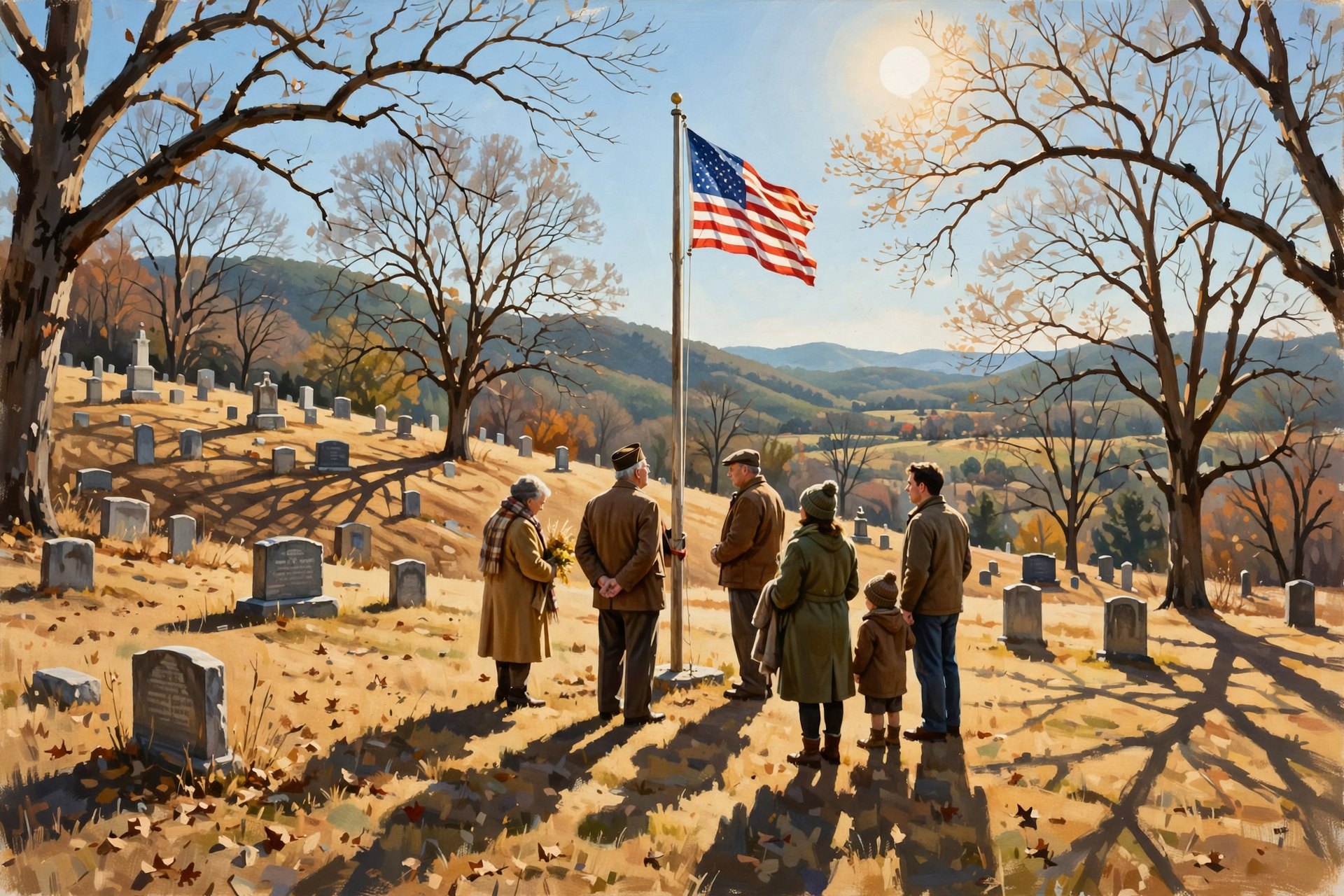
Dunlap’s forecast for Veterans Day (Wednesday) is sunny with a high near 69 and a west wind 0 to 5 mph. The hourly forecast shows about 43 at 7 a.m. and about 66 at 3 p.m., with the rain chance near zero through the afternoon. Update: Wednesday night is now just “a chance of rain showers” — 30 percent, with a low around 48 — down from 70 percent in yesterday’s forecast. Morristown’s forecasters say Wednesday itself looks too dry for much rain to reach the ground, though a light shower or sprinkle can’t be ruled out, and showers arrive with the cold front Wednesday night into Thursday. A few rumbles of thunder can’t be ruled out, but storm energy looks very limited.
What it means for you: Ceremonies, flag-raisings, cemetery visits and porch get-togethers look about as good as November gets. Evening events look better than they did yesterday, but like keeping a dish towel handy at a potluck, tuck an umbrella in the car just in case. And if you’re out after dark, the moon was new on Monday, so the sky will be dark — bring a flashlight for the walk to the car.
👉 Read more (Dunlap 7-day forecast) · Morristown forecast discussion
❄️ The Colder Turn: Lows Near 28 Friday and Saturday Nights, Snow on the Higher Elevations
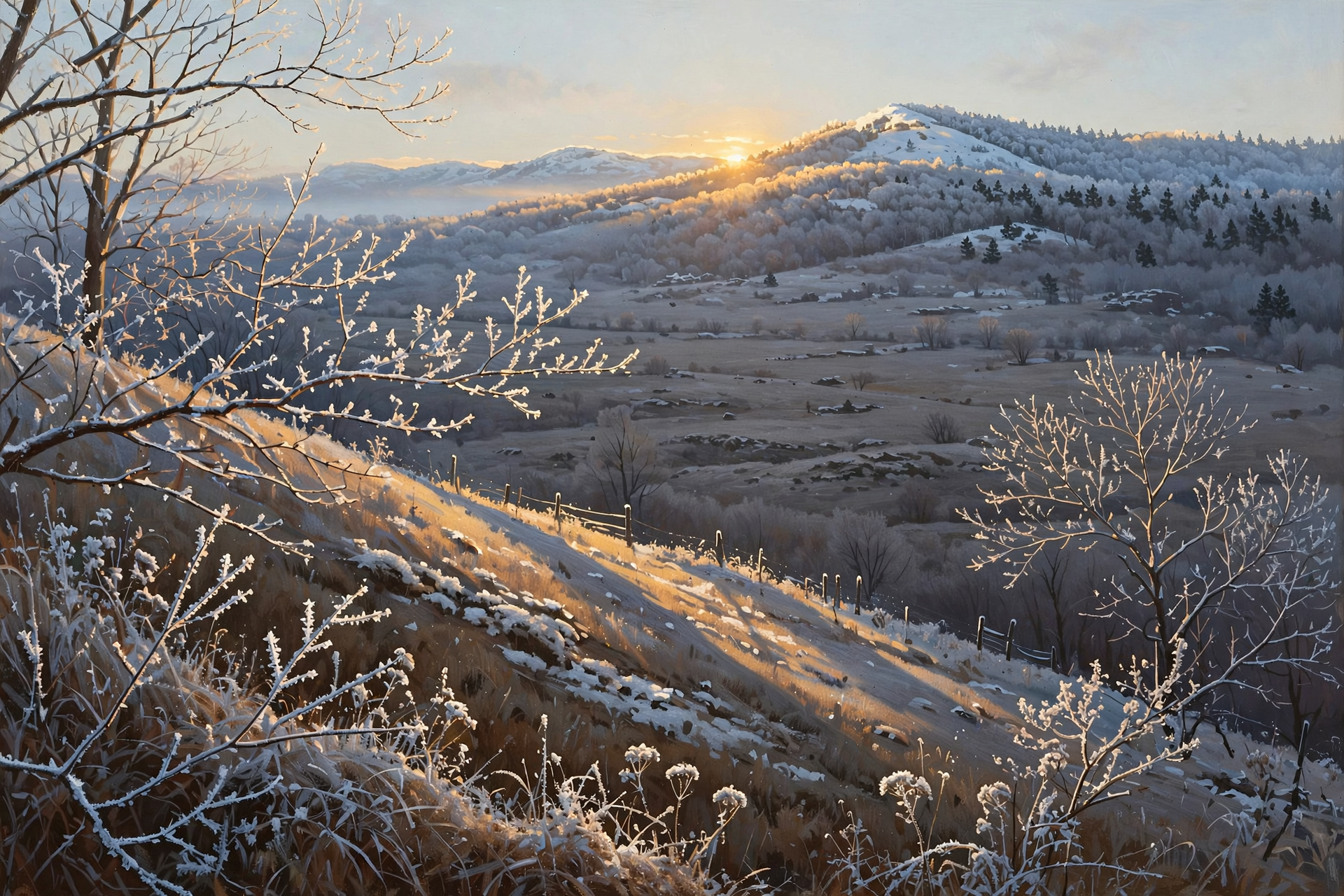
Morristown’s Tuesday morning discussion says there is high confidence in much colder temperatures for the latter part of the week, and light snow accumulations are looking likely over the higher elevations. The Hazardous Weather Outlook says rain showers will change to snow showers over the higher terrain Thursday night and continue at times through Friday night. For the valleys, forecasters say a flurry or light snow shower may briefly mix in, mainly across the northern half of their area, and valley highs will likely struggle to get out of the 40s Friday and Saturday. Dunlap’s forecast: Thursday near 57 with northwest gusts to 25 mph, Thursday night 35, Friday 48, Friday night 28, Saturday 50, Saturday night 28. Sunday (near 56) and Monday (near 58) look dry and slowly milder. Dunlap’s own point forecast does not show snow.
What it means for you: This is a “bring the plants in and the coats out” week, not a “rush to the store” week. Update: lows near 28 two nights in a row are cold enough for a freeze. Before Friday night: bring in tender plants for good, drain and put away hoses, cover outdoor spigots, check that livestock water won’t freeze, and give outdoor pets a warm, dry spot. Friday’s bus stop starts near 36 with a northwest breeze — heavy coats, gloves and toboggans. If you drive up on the Plateau Thursday night through Friday night, watch for snow showers and slick spots.
👉 Read more (Morristown forecast discussion) · Hazardous Weather Outlook
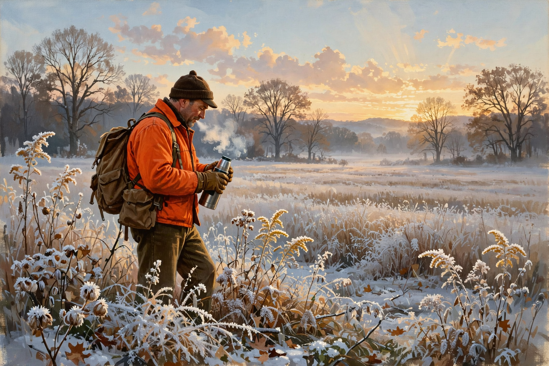
🦌 Hunters: Saturday’s Openers Look Sunny and Frosty
These dates come from TWRA’s statewide season summary, checked this morning. Muzzleloader/archery deer (through Nov. 20), rabbit and quail are already open. Coming up:
- Saturday, Nov. 14: Single-shot straight-walled cartridge rifles (.35 caliber or larger) allowed on private lands only through Nov. 20. Deer taken count toward the muzzleloader bag limit. Woodcock (through Dec. 6) and snipe (through Feb. 28) also open — a Tennessee Migratory Bird Permit is required.
- Friday, Nov. 20: Fox, mink, muskrat, otter and least weasel seasons open, and bobcat opens statewide.
- Saturday, Nov. 21: Statewide gun/muzzleloader/archery deer season opens (through Jan. 3, 2027).
What it means for you: Saturday morning looks sunny and frosty — Dunlap’s hourly forecast shows about 31 at 7 a.m., a high near 50, and light wind. Sunrise is about 6:16 a.m. and sunset about 4:36 p.m. Like warming up the truck before a long drive, give yourself time: warm layers, gloves, a hat and a thermos, and wear blaze orange or pink where required. Frost can make tree stands and ladders slick, so use your harness. Check WMA rules if you’re headed to public land.
👉 Read more (TWRA seasons summary)
📏 Monday Hit 73, and the Rain Ledger
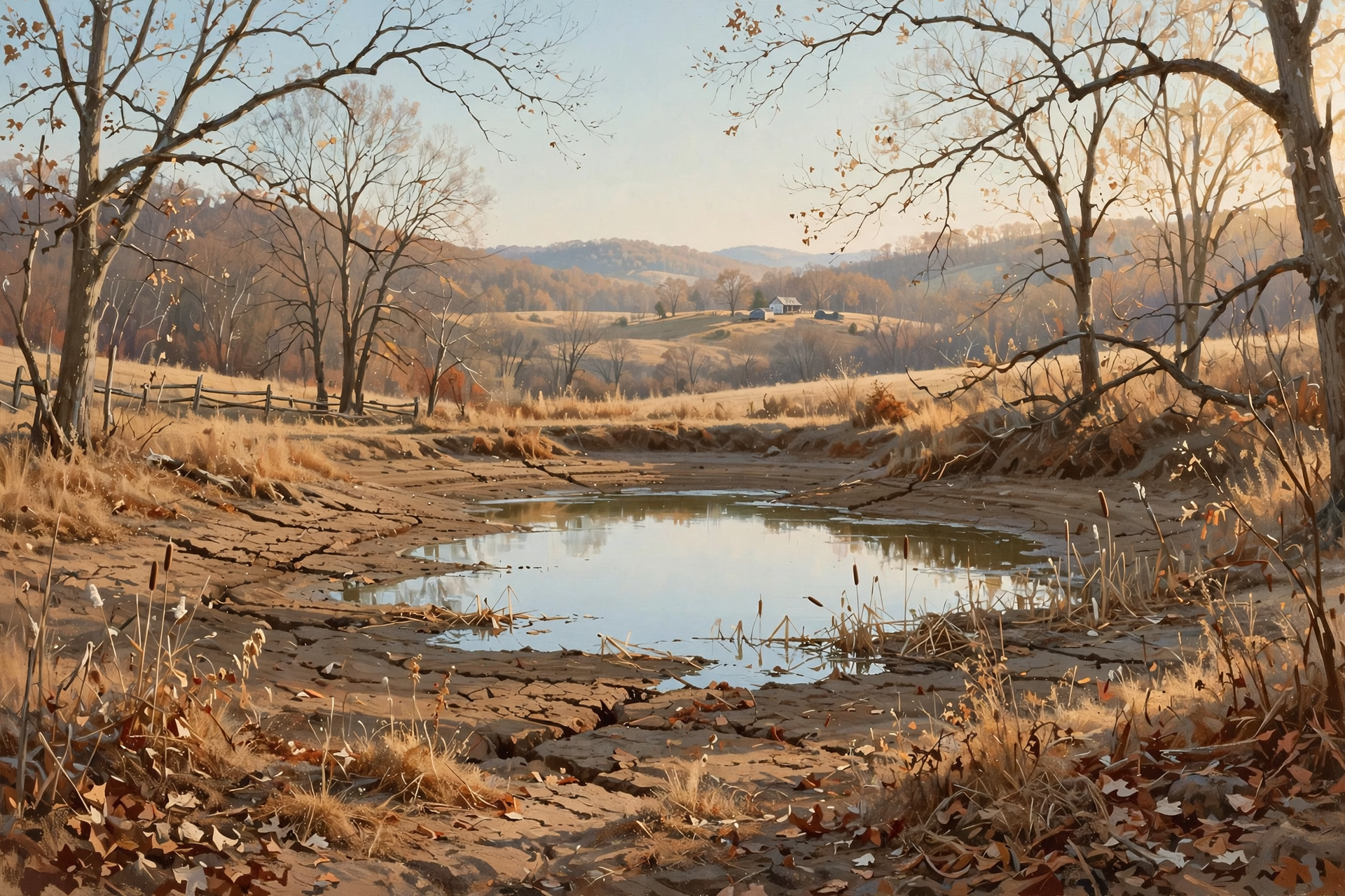
This morning’s Chattanooga climate report for Monday, Nov. 9 shows a high of 73 (9 degrees above normal) and a low of 38, with no rain. The record for the date is 82, set in 2020. November stays at 1.65 inches — about 0.42 inches ahead of normal for the month. Rainfall since Sept. 1 is about 4.01 inches behind, and the year is about 10.19 inches behind. The next U.S. Drought Monitor map comes out Thursday, Nov. 12.
What it means for you: The month’s early soaking is slowly being spent, like a full pantry in a busy week. With Wednesday night’s rain chance lower now, don’t count on much help. Keep an eye on ponds and stock water.
👉 Read more (Chattanooga daily climate report) · U.S. Drought Monitor: Tennessee
🔭 Looking Further Out: Milder Toward Thanksgiving Week
Update: the federal Climate Prediction Center’s newest 6–10 day outlook (valid Nov. 15–19, issued Nov. 9) now favors above-normal temperatures and below-normal precipitation for Tennessee, with confidence rated well above average (5 out of 5). The 8–14 day outlook (Nov. 17–23) favors above-normal temperatures and above-normal precipitation for Tennessee, with confidence above average (4 out of 5). These are statewide and regional odds, not a Dunlap forecast.
What it means for you: The cold snap looks like a weekend guest who leaves Sunday. The longer-range odds lean milder after that, with a wetter turn possible around the start of gun season — good to know when you plan your hunting days and outdoor chores.
👉 Read more (Climate Prediction Center discussion)
✅ Your Tuesday-to-Saturday Checklist
- ☐ Today: Enjoy sunshine near 72; light jacket for the cool morning and evening. Finish outdoor chores.
- ☐ This afternoon or Wednesday afternoon: If you need to burn, get a free BurnSafeTN permit first. Burn small, stay with it, and have it out before dark.
- ☐ Tonight: No new piles — Very Poor smoke mixing.
- ☐ Veterans Day: Sunny near 69. Umbrella in the car and a flashlight for evening events.
- ☐ Wednesday night–Thursday: A chance of showers (30% Wednesday night); Thursday gusty. Secure loose outdoor items.
- ☐ Before Friday night: Plants in, hoses drained, spigots covered, pet and livestock water checked, coats and gloves found.
- ☐ Friday–Saturday: Highs near 48–50, lows near 28. Snow showers on the higher terrain.
- ☐ Saturday (Nov. 14): Straight-wall (private land), woodcock and snipe open — about 31 at sunrise, layer up.
The rule to remember: Sunny today and Veterans Day, burn only in the afternoon, umbrella just in case Wednesday night, and freeze-ready by Friday night.
— Dunlap.Today
📚 Plain-English Weather Glossary

- Smoke dispersion: How well the air carries smoke up and away. “Fair” means it lifts; “Poor,” “Generally Poor,” and “Very Poor” mean it hangs near the ground.
- Cold front: The leading edge of colder air. This week’s arrives Wednesday night.
- Freeze: When the temperature drops to 32 or lower. Near 28 is cold enough to hurt tender plants and freeze exposed water lines.
- Upslope snow: When northwest winds push moist air up mountain slopes, it cools and can squeeze out snow on the higher ground while valleys stay mostly dry.
- Flurry: A few light snowflakes that fall briefly and usually don’t stick.
- 6–10 and 8–14 day outlooks: Odds of warmer or colder, wetter or drier than normal over a stretch of days. They’re leanings, not exact forecasts.
❓ Frequently Asked Questions
Can I burn brush today?
This afternoon is a good window. Sequatchie’s fire-weather forecast rates late-day mixing “Fair,” and Wednesday rates “Fair” too. You need a free same-day permit from BurnSafeTN.org or 877-350-BURN through May 15. Statewide, there is no active burn ban. Tonight is “Very Poor,” so don’t start a pile this evening.
Will it rain on Veterans Day?
Daytime looks sunny near 69 with almost no rain chance. Wednesday night has a 30 percent chance of showers, down from 70 percent in yesterday’s forecast. Showers are more likely to arrive with the cold front Wednesday night into Thursday.
Will it snow in Dunlap?
Dunlap’s forecast does not show snow right now. Morristown says light snow accumulations look likely over the higher elevations Thursday night through Friday night. In the valleys, a flurry may briefly mix in, mainly farther north. Details can still change, so check back.
Will it freeze this weekend?
Likely. Dunlap’s forecast shows lows around 28 Friday night and Saturday night. That’s cold enough to damage tender plants and freeze exposed hoses and spigots, so cover or bring them in before Friday evening.
What’s hunting weather for Saturday’s openers?
Sunny and frosty: about 31 around sunrise (6:16 a.m.), a high near 50, and light wind. Straight-walled cartridge rifles are allowed on private lands only, Nov. 14–20. Woodcock and snipe open Nov. 14. Statewide gun season opens Nov. 21.
Are there any weather alerts for Dunlap?
No. As of this writing, the Dunlap point has no active weather alerts. The Hazardous Weather Outlook lists no hazardous weather today or tonight and flags the colder late week, with snow mainly for the higher terrain.
🔗 Other Resources
- National Weather Service: Dunlap forecast
- National Weather Service Morristown
- Hazardous Weather Outlook
- Morristown forecast discussion
- Morristown fire-weather forecast
- Chattanooga daily climate report
- Climate Prediction Center 6–10 day outlook
- U.S. Drought Monitor: Tennessee
- BurnSafeTN: free burn permits
- Tennessee burn bans
- TWRA hunting seasons summary
- Sequatchie Valley Electric outage information
- Naval Observatory sunrise and sunset
🌤️ Two Pretty Days, Then a Cozy Weekend — You’ve Got Time
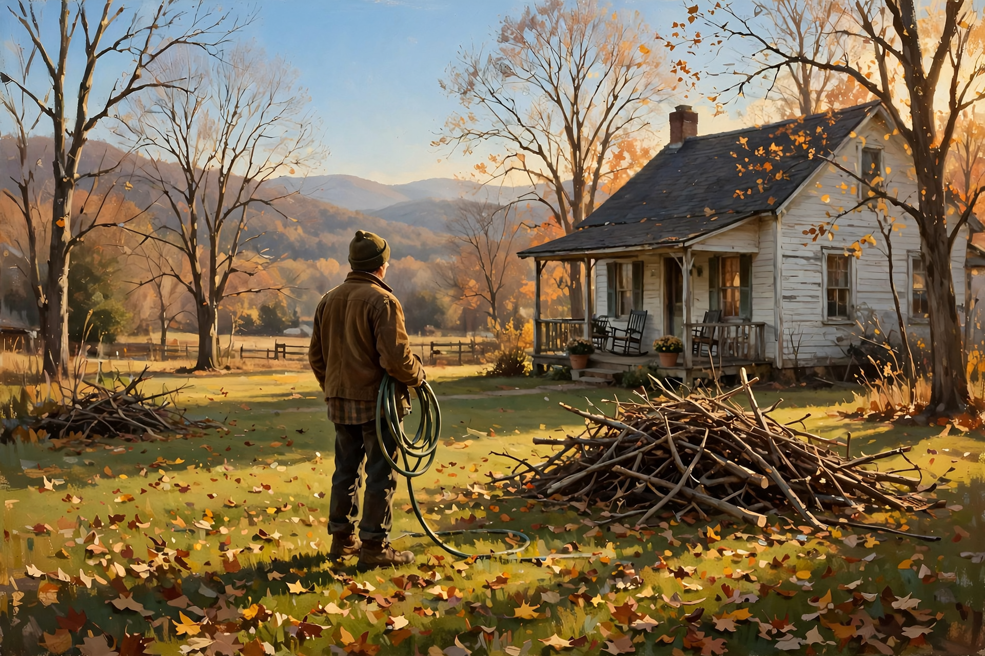
Today and Veterans Day are sunshine and 70-ish, with fair afternoons for burn piles. Wednesday night’s rain looks less likely than it did, and the weekend brings a real chill, with snow mostly up on the higher ground. There’s plenty of time to get ready: plants in, hoses drained, coats out. No rush, no worry — just a little planning.
We’ll keep watching the sky so you don’t have to. Read Dunlap.Today for calm, practical weather in plain English.



0 Comments