
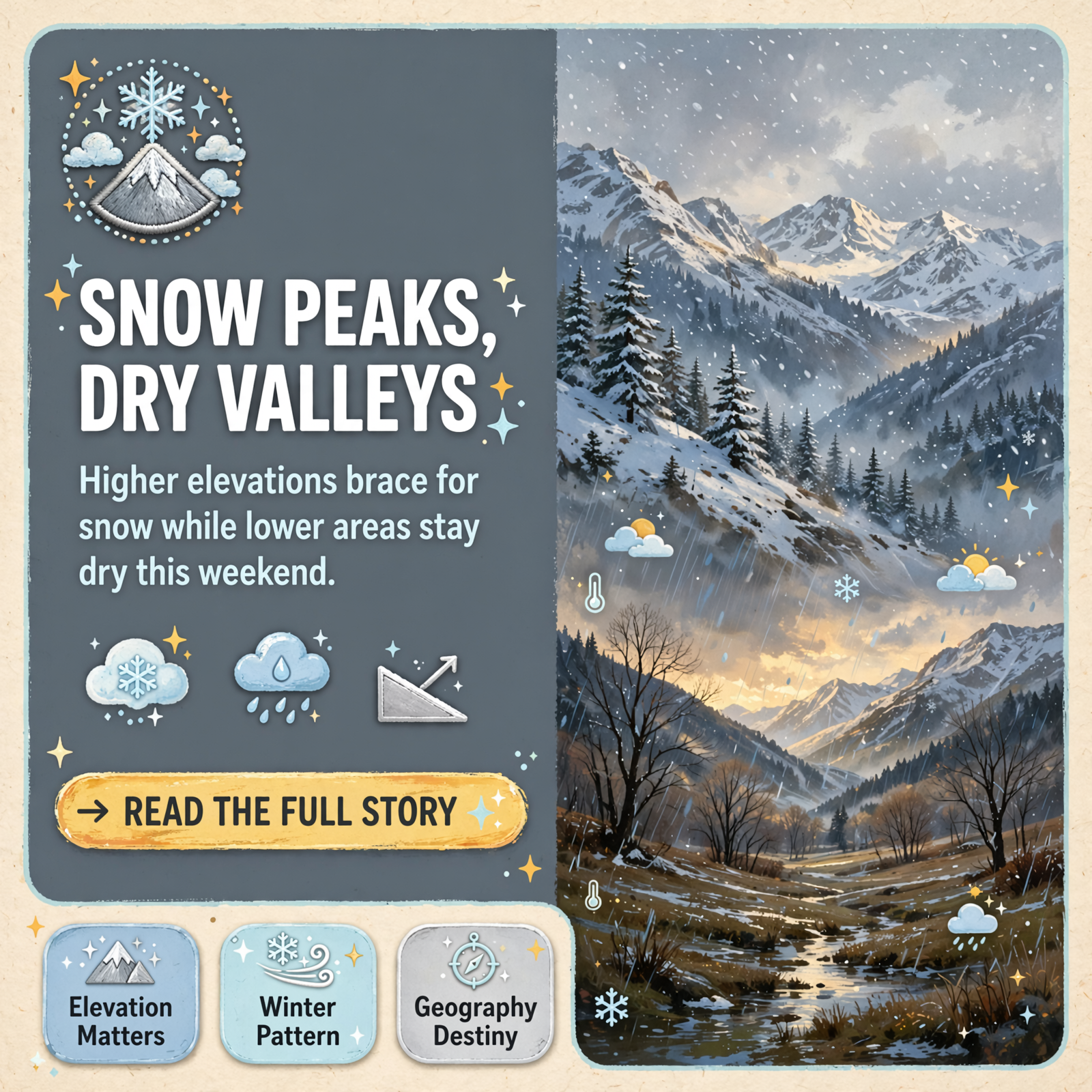
❄️ Early Snow Outlook for November 13-14: Valley Floor Stays Dry While High Peaks Could See Accumulation
As winter weather patterns begin to take shape across the Tennessee Valley and Cumberland Plateau, Chase Bryant Weather is tracking a potential snow event that could bring dramatically different conditions depending on elevation and geography. For residents in the Sequatchie Valley and surrounding lowlands, the forecast points to a familiar seasonal pattern: while higher elevations catch the snow, the valley floor remains largely untouched.
📍 What to Expect by Region
According to the preliminary outlook for Friday into Saturday, November 13-14, the story will be one of stark contrasts. The Smokies and Blue Ridge Mountains could see accumulating snow on higher peaks and ridges-a genuine winter event for those elevations. Meanwhile, the Cumberland Plateau is expected to see only flurries and perhaps an isolated light dusting, with nothing impressive anticipated. 🏔️
The Sequatchie Valley, East Tennessee Valley, Northwest Georgia, and Northeast Alabama are forecast to remain largely snow-free, thanks to a meteorological phenomenon that locals know well: the “snow dome” effect. This classic pattern occurs when a low-pressure system centers to the northeast, bringing wrap-around moisture on its backside-but not enough to overcome the protective barrier created by surrounding mountains.
🌬️ Why the Valley Stays Dry
Chase Bryant Weather explains that northwest flow lows like the one expected this weekend don’t carry sufficient moisture onto the valley floor. The surrounding ridges and plateaus act as a natural shield, squeezing out what little precipitation might reach the lower elevations. In Marion County, locals call this “the Monteagle Mountain Effect”-a reminder that geography is destiny when it comes to winter weather in this region. ⛰️
To bring meaningful snow to the valley, forecasters note that a Gulf low-a system moving moisture from the south-would be needed. This particular system is moving in the opposite direction, making it unlikely to produce the kind of winter weather that valley residents sometimes hope for as temperatures drop.
❄️ Looking Ahead This Winter
While this November event may disappoint snow enthusiasts on the valley floor, Chase Bryant Weather offers a note of encouragement: plenty of opportunities could come later in the winter season. The pattern is still developing, and conditions that favor valley snow are possible as the season progresses. For now, residents should prepare for rain Wednesday night into Thursday, followed by the flurries and possible light dusting Friday and Saturday. 🌧️
The forecast remains preliminary and subject to change, so residents are encouraged to stay tuned for updates as the system approaches.
🤔Source
Chase Bryant Weather – A detailed local weather forecast and outlook for a potential snow event on November 13-14, discussing regional effects like the snow dome.
Know about an upcoming event or story in the Dunlap, TN area? Submit it here.


0 Comments