

☀️ Sunny Sunday Near 66, Frost Tonight Near 36, Then Dry and Mild Through a 70-Degree Veterans Day Before a Colder Turn
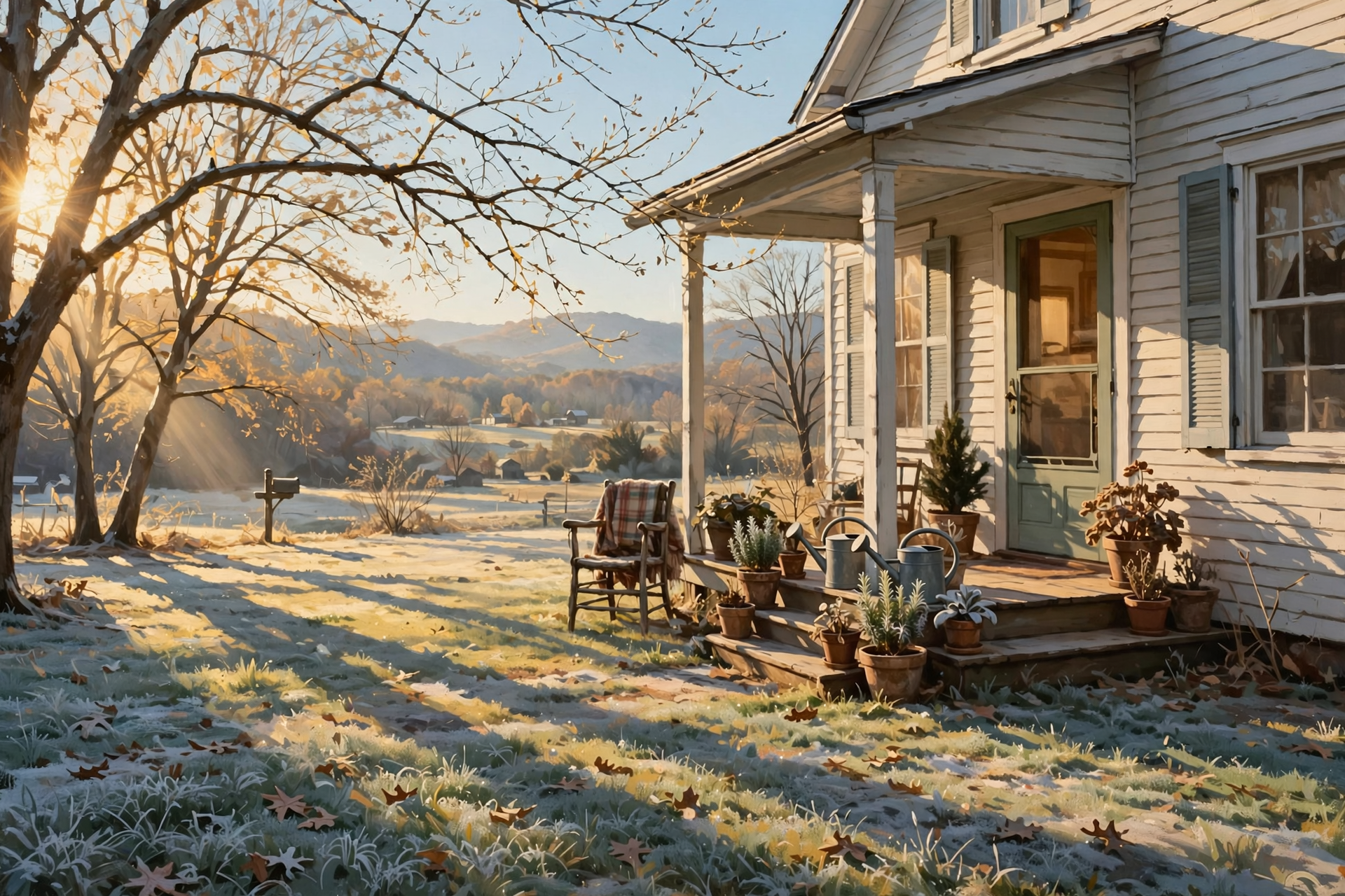
Or: Enjoy the after-church sunshine, bring the plants in tonight, skip the burn pile, and savor a mild Veterans Day before late-week cold arrives.
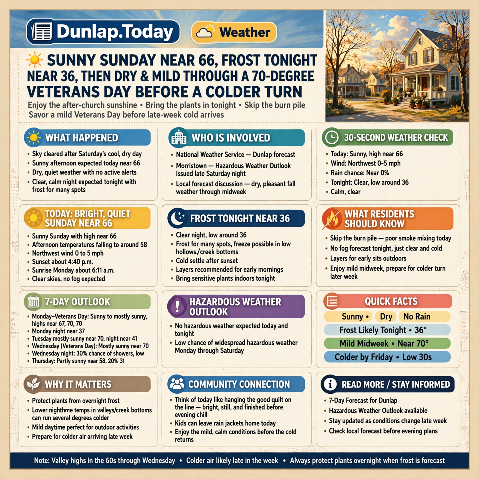
Good Sunday morning, Valley. The sky has opened up after Saturday’s cool, dry day, and the afternoon looks made for being outside. Around 8:55 this morning, the Chattanooga airport was clear near 54 with a northeast breeze around 9 mph, and Crossville was clear near 43 and calm around 8:00. Here’s the short version: sunny today near 66 with no active weather alerts for Dunlap; a clear night near 36 — frost for many spots and a freeze for some hollows; poor smoke mixing for burn piles today; then a dry, mild stretch through a mostly sunny Veterans Day near 70 before colder air looks more likely late in the week.
⏱️ Your 30-Second Weather Check
- Today: Sunny, high near 66, northwest wind 0 to 5 mph. Rain chance near 0%.
- Tonight: Clear, low around 36. Calm.
- Monday–Veterans Day: Sunny to mostly sunny highs near 67, 70 and 70. Monday night near 37.
- Late week: A 30% chance of showers Wednesday night; Thursday near 58; Friday near 48 with a Friday night low around 30.
- Alerts: None for Dunlap. Hazardous Weather Outlook: no hazardous weather expected today and tonight; low chance of widespread hazardous weather Monday through Saturday.
- Remember: Plants in tonight; skip the burn pile; layers for early sits; enjoy the mild midweek, then watch the colder turn.
☀️ Today: A Bright, Quiet Sunday Near 66
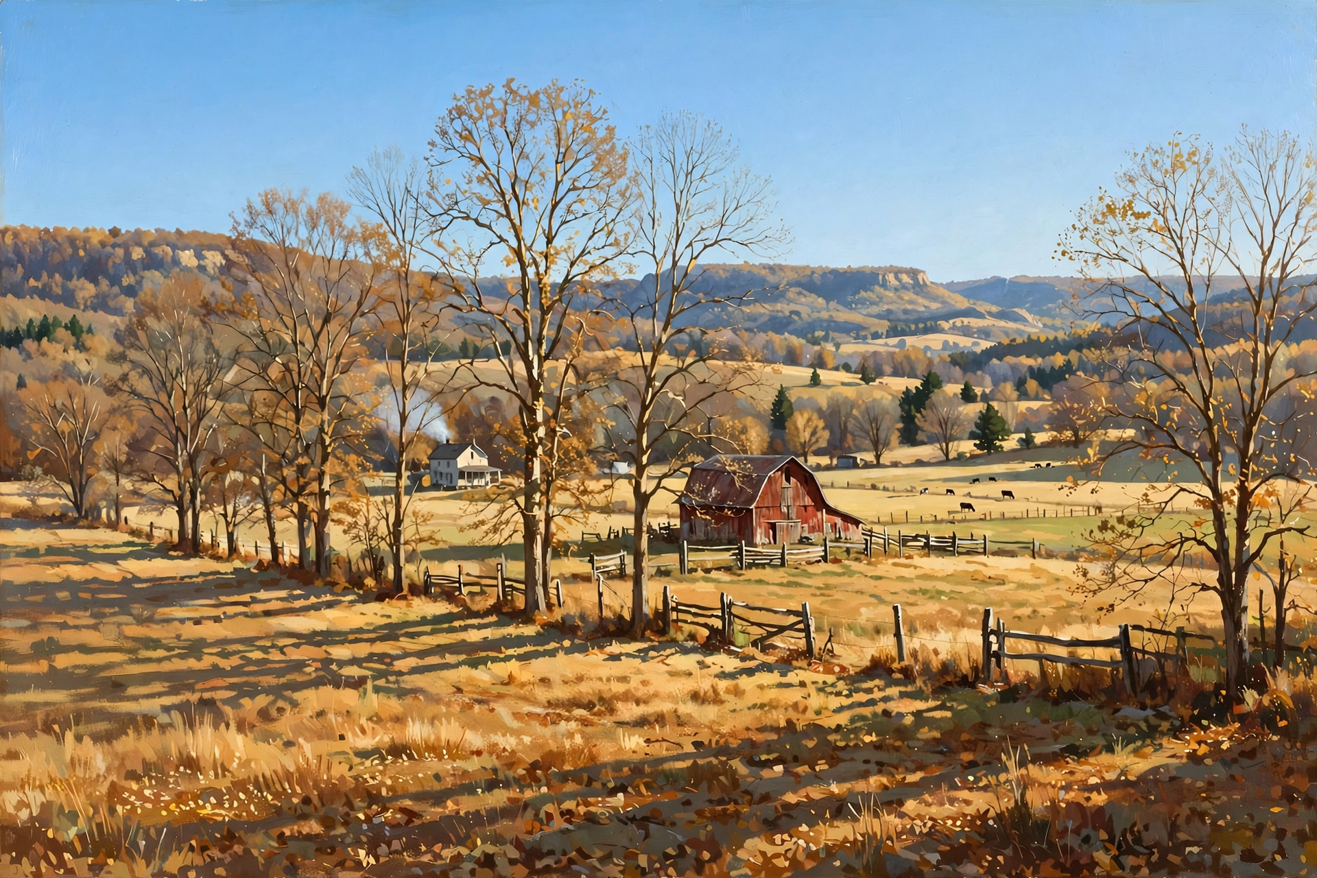
Dunlap’s National Weather Service forecast calls for a sunny Sunday with a high near 66, temperatures falling to around 58 in the afternoon, a northwest wind 0 to 5 mph, and a rain chance near zero. Sunset is about 4:40 p.m. tonight, and sunrise Monday is about 6:11 a.m. (approximate times for Dunlap; Naval Observatory figures are preferred if you are republishing). Morristown’s Hazardous Weather Outlook, issued late Saturday night, lists no hazardous weather for today and tonight, and a low probability of widespread hazardous weather from Monday through Saturday. The morning forecast discussion calls for dry, pleasant fall weather through midweek — chilly nights and mild days, with valley highs in the 60s through Wednesday.
What it means for you: Think of today like hanging the good quilt on the line after church — bright, still, and finished before the evening chill. Kids can leave the rain jackets home. The afternoon feels friendly in the sun; once the light drops, the air turns sharp in a hurry. There’s no fog in tonight’s official forecast, just a clear sky and a cold settle.
👉 Read more (Dunlap 7-day forecast) · Hazardous Weather Outlook
🧥 Frost Tonight Near 36, Then Milder Mornings — and a Colder Late Week
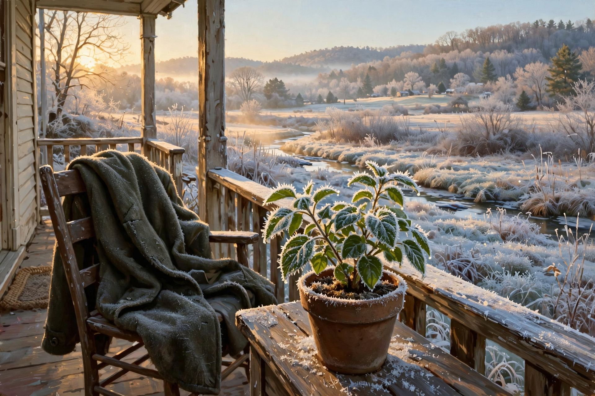
Dunlap’s forecast: tonight clear near 36; Monday sunny near 67, then mostly clear near 37 Monday night; Tuesday mostly sunny near 70 and partly cloudy near 41 Tuesday night; Veterans Day (Wednesday) mostly sunny near 70. Wednesday night brings a 30 percent chance of rain showers and a milder low around 46. Thursday looks partly sunny near 58 with a slight (about 20 percent) shower chance, then Thursday night near 35, Friday mostly sunny near 48, Friday night around 30, and Saturday sunny near 53 with a Saturday night low around 31. Under clear, nearly calm skies, low spots and creek bottoms often run a few degrees colder than the official number — frost for many places tonight, and a freeze for some.
What it means for you: 36 on the forecast is like the washbasin left on the back porch — the house stays comfortable, but anything sitting outside feels the cold first. Bring tender potted plants in tonight, cover sensitive beds if you can, and lay out heavier coats for Monday’s bus stop and farm chores. Mornings ease a bit by midweek. Then, later in the week, plan for a real cool-down: Friday’s afternoon may feel more like late fall, and Friday night’s reading around 30 is a freeze for more than just the hollows.
👉 Read more (Morristown forecast discussion)
🔥 Burn Piles: Sunday’s Mixing Is Still Poor — Wait for a Fairer Window
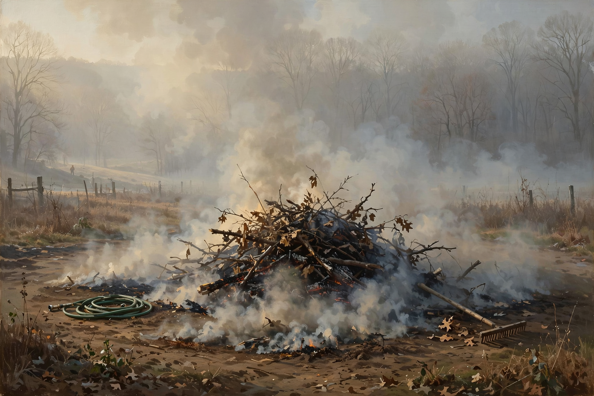
The fire-weather forecast for the Sequatchie County zone (Dunlap, Cagle, Cartwright, Lone Oak), issued at 12:27 a.m. CST, rates today’s smoke dispersion “Poor” this morning and “Generally Poor” later (Category Day 2), with afternoon humidity around 30 to 35 percent and light, variable wind. That is a slight step up from Saturday night’s Very Poor mixing, but it is still not a good pile-burning window — smoke may hang close to the ground. Tonight drops back to Category Day 1 with “Very Poor” mixing. Monday is Category Day 2 again with Generally Poor dispersion. From Oct. 15 through May 15, Tennessee requires a free burn permit for leaf and brush piles — get it the day you burn at BurnSafeTN.org or by calling 877-350-BURN. Statewide, there is no active burn ban this morning, and a Sequatchie County cross-check this morning also showed no local ban; permits are still issued only when conditions are safe enough.
What it means for you: Today is like trying to air out a kitchen with the windows barely cracked — the smoke doesn’t have anywhere good to go. The better choice is to wait for a Fair day. If you already hold a same-day permit, keep piles small, clear a wide bare ring, keep a hose and rake close, stay with the fire, and have it completely out by midnight — and remember this afternoon’s humidity is on the dry side, so a fire can run more readily even when the smoke doesn’t lift. Don’t start a new pile tonight. Check city rules if you live inside Dunlap or another town — local rules can be stricter.
👉 Read more (BurnSafeTN free permits) · Fire-weather forecast
🦌 Hunters: Seasons Are Open, and This Week’s Weather Splits in Two
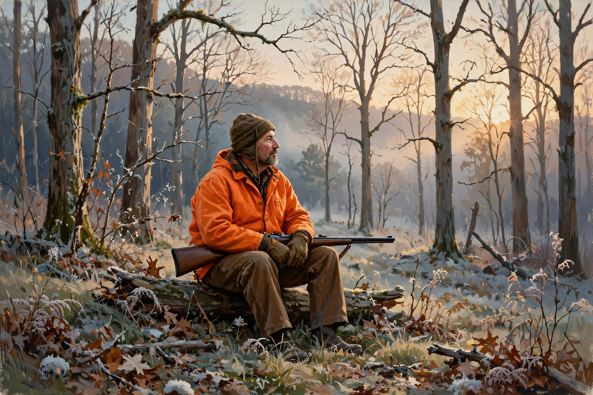
These dates come from TWRA’s statewide season summary. Muzzleloader/archery deer, rabbit and quail all opened yesterday, Saturday, Nov. 7 — they are already underway, not opening again today:
- Now through Nov. 20: Muzzleloader/archery deer (opened Nov. 7). Statewide rabbit (through Feb. 28) and quail (through Feb. 28) are open too.
- Nov. 14–20: Single-shot straight-walled cartridge rifles allowed on private lands only during the second week of muzzleloader. Woodcock and snipe also open Nov. 14 on the statewide calendar.
- Nov. 21: Statewide gun/muzzleloader/archery deer season opens (through Jan. 3, 2027).
What it means for you: Today’s sit looks sunny near 66 with a light northwest wind, sunrise about 6:10 a.m. and sunset about 4:40 p.m. Tonight near 36 under a clear sky means predawn Monday will feel cold. Midweek stays mild and dry — pleasant woods weather for Veterans Day. By next weekend, when straight-wall opens on private land (Nov. 14), Dunlap’s forecast turns cooler: Saturday looks sunny near 53 after a Friday night around 30. Dress in layers, wear blaze orange or pink where required, and check WMA rules if you’re headed to public land.
👉 Read more (TWRA seasons summary)
📏 Saturday’s Cooler High of 66, and the Rain Ledger
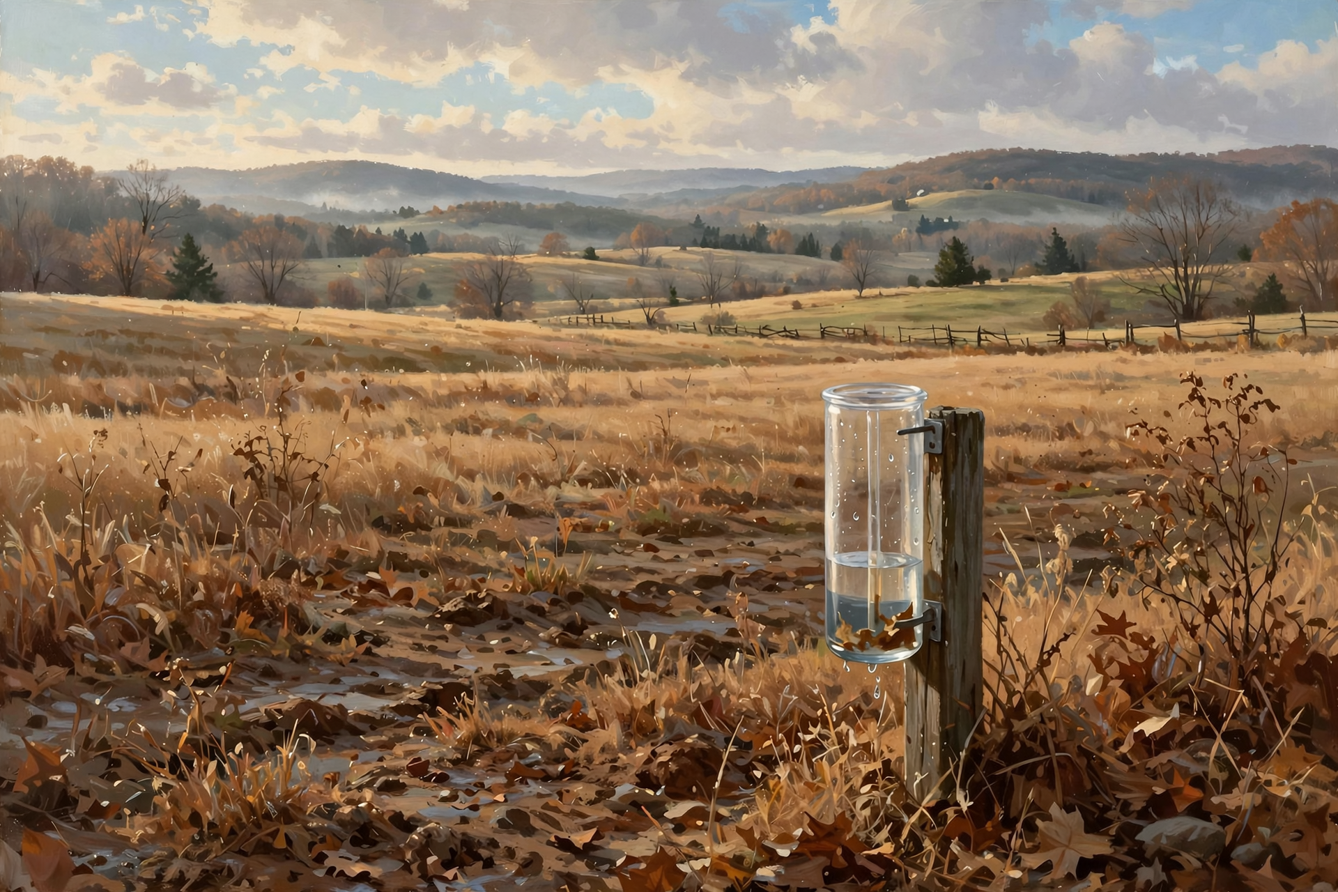
This morning’s Chattanooga climate report for Saturday, Nov. 7 shows a high of 66 (a little warmer than Friday’s cooler outlook had suggested) and a low of 45, with no rain. November is at 1.65 inches so far — about 0.70 inches ahead of normal for the month after Wednesday’s soaking. Even so, rainfall since Sept. 1 is still about 3.73 inches behind, and the year is about 9.91 inches behind. The latest U.S. Drought Monitor map for Tennessee was released Thursday, Nov. 5 (data valid Nov. 3). The next update that can begin to fold in last week’s rain is the map dated around Nov. 12.
What it means for you: A good midweek rain and two dry days don’t refill a short fall — like a cistern that caught a welcome splash but still sits below the usual mark. Fields have had time to firm up. Keep an eye on ponds and pastures; the dry stretch into midweek means whatever Wednesday put in the ground needs to last a while longer.
👉 Read more (Chattanooga daily climate report) · U.S. Drought Monitor: Tennessee
🔭 Looking Further Out: A Gentle Veterans Day, Then Colder Air Gains Confidence
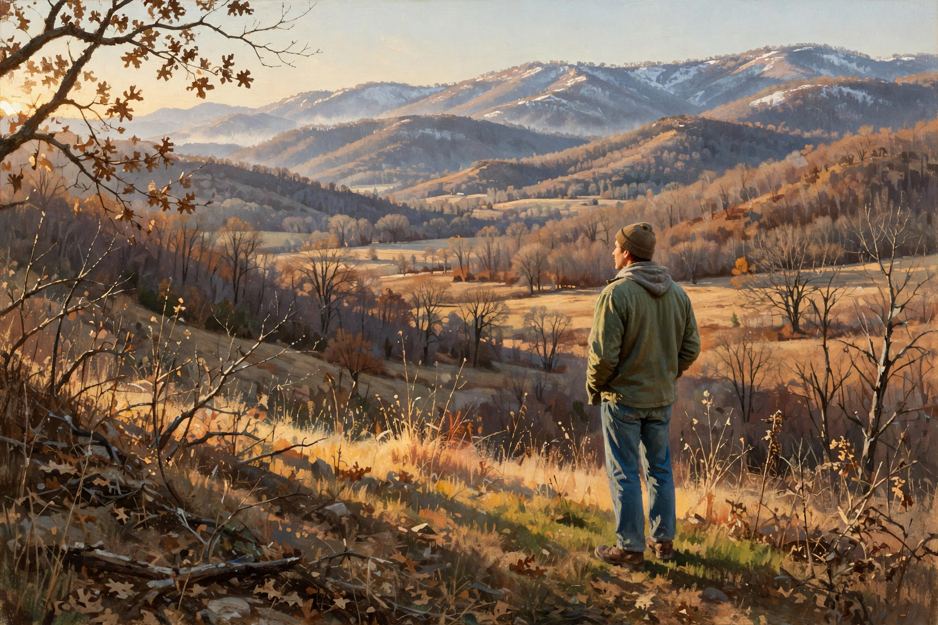
Locally, Morristown’s Sunday morning discussion says dry and pleasant fall conditions should hold through midweek, with valley highs in the 60s through Wednesday. Forecasters now have increasing confidence in much colder temperatures late in the week, with some higher-elevation snow looking more likely as details come into focus. An initial disturbance and cold front may bring rain Wednesday night into Thursday. Colder air follows, and highs “may struggle to make it much above the 40s” in many valley locations Friday and Saturday. Dunlap’s 7-day fits that picture: Veterans Day mostly sunny near 70, a shower chance Wednesday night, Thursday near 58, Friday near 48, and Saturday near 53. The federal Climate Prediction Center’s 6–10 day outlook (valid Nov. 13–17, issued Nov. 7) favors near-normal temperatures and below-normal precipitation for Tennessee, with near-to-below-normal temperatures across much of the eastern third of the country.
What it means for you: The next few days look like regular November at its friendliest — cool mornings, pleasant afternoons, and a lovely window for Veterans Day outdoor plans. Keep one eye on Thursday and beyond. Colder air is coming into better focus, but valley snow is not the story here; the practical change is cooler afternoons and nights that drop to freezing later in the week. Higher elevations are the places to watch if wintry flakes show up.
👉 Read more (Climate Prediction Center discussion)
✅ Your Sunday-to-Saturday Checklist
- ☐ Today: Enjoy the sunshine near 66; leave rain jackets home; layers if you’re in the woods.
- ☐ Today: Skip the burn pile — Poor to Generally Poor smoke mixing, and dry afternoon humidity.
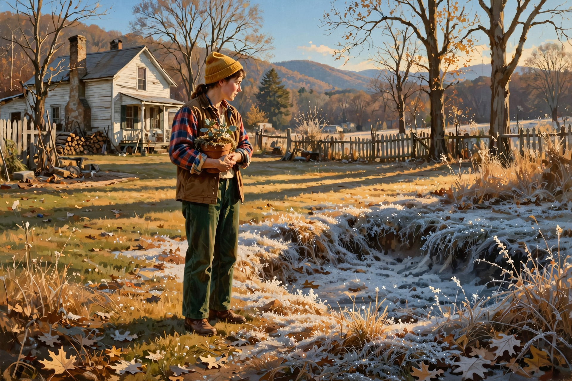
- ☐ Tonight: Bring tender plants inside; watch low spots for frost near 36 under a clear sky.
- ☐ Tonight / Monday: Don’t burn — Very Poor mixing tonight; Monday still Generally Poor.
- ☐ Monday–Veterans Day: Dry and mild; heavier coats for cold school mornings that start near the mid-30s.
- ☐ Wednesday: Mostly sunny near 70 — a gentle day for Veterans Day outdoor plans.
- ☐ Wednesday night–Thursday: A chance of showers, then cooler. Friday near 48; Friday night around 30.
- ☐ Next Saturday (Nov. 14): Cooler, sunny near 53 as straight-wall opens on private land.
The rule to remember: Sunny 66 today, frost tonight near 36, skip the burn pile, enjoy a mild Veterans Day, then watch the colder turn.
— Dunlap.Today
📚 Plain-English Weather Glossary
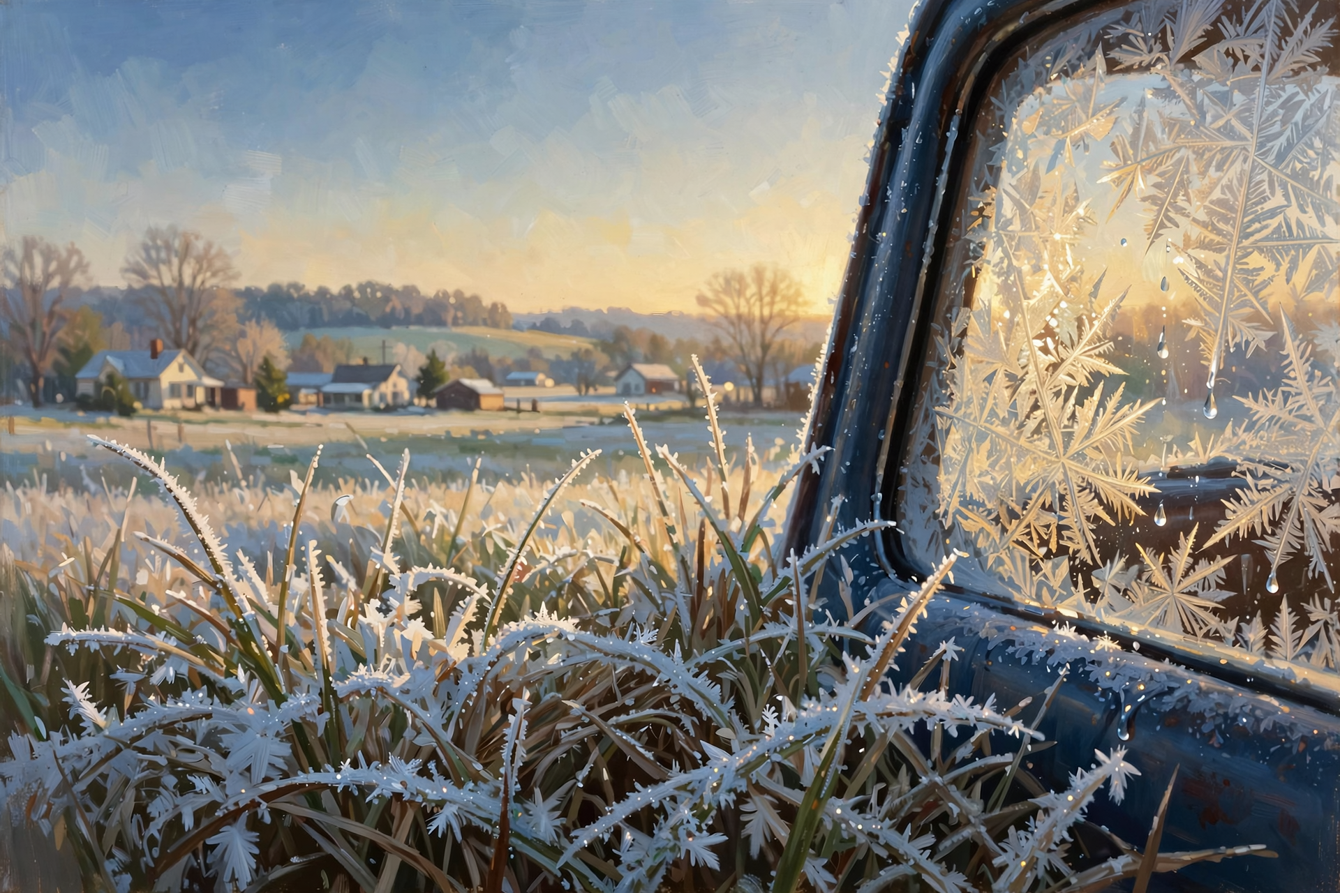
- Radiational cooling: Clear, nearly calm nights when heat escapes straight up into space. That’s how tonight gets so cold even after a mild afternoon.
- First frost / first freeze: Frost is ice crystals on grass and cars; a freeze means the air itself drops to 32°F or below. Low spots often see both first.
- Smoke dispersion: How well the air carries smoke up and away. “Fair” means it lifts some; “Poor,” “Generally Poor,” and “Very Poor” mean it hangs near the ground.
- Category Day: A fire-weather score for how smoke and fire behave. Higher numbers usually mean better mixing.
- Cold front: The leading edge of cooler air. This week’s version may bring a shower chance Wednesday night into Thursday, then the colder late-week pattern.
- Dry stretch: Several days with little or no rain. Good for outdoor work; watch ponds and pastures if the dry spell runs long.
❓ Frequently Asked Questions
Will it rain today?
Dunlap’s forecast shows a near-zero rain chance today through midweek. A chance of showers (about 30 percent) returns Wednesday night, with a slight chance Thursday. Veterans Day itself looks mostly sunny.
Will it freeze tonight?
The forecast low is about 36 tonight under a clear, calm sky. That’s frost for many places and a freeze for some, especially in low spots and hollows. Bring tender plants in tonight. A broader freeze looks more likely later in the week, when Friday night falls around 30.
Can I burn brush today?
Sequatchie’s fire-weather forecast rates today Poor this morning and Generally Poor later (Category Day 2). Tonight is Very Poor. Monday is Generally Poor again. Waiting for a Fair window is the better plan. You need a free same-day permit from BurnSafeTN.org through May 15. No statewide burn ban is in effect this morning.
What’s hunting weather this week?
Sunny and near 66 today with a light northwest wind. Sunrise about 6:10 a.m., sunset about 4:40 p.m. Midweek stays dry and mild. By next Saturday (Nov. 14), when straight-wall opens on private land, the forecast is cooler and sunny near 53. Muzzleloader/archery deer, rabbit and quail are already open (they started Saturday, Nov. 7). Statewide gun season opens Nov. 21.
Are there any weather alerts for Dunlap?
No. As of this writing, the Dunlap point has no active weather alerts. The Hazardous Weather Outlook lists no hazardous weather today and tonight, and a low probability of widespread hazardous weather Monday through Saturday.
Is the drought over after Wednesday’s rain?
Not yet. November is ahead of normal for the month at the Chattanooga airport (1.65 inches, about 0.70 ahead), but rainfall since Sept. 1 is still about 3.73 inches behind and the year is about 9.91 inches behind. Saturday added no rain. The next Drought Monitor map, dated around Nov. 12, can begin to show last week’s soaking more clearly.
🔗 Other Resources

- National Weather Service: Dunlap forecast
- National Weather Service Morristown
- Hazardous Weather Outlook
- Morristown forecast discussion
- Morristown fire-weather forecast
- Chattanooga daily climate report
- Climate Prediction Center 6–10 day outlook
- U.S. Drought Monitor: Tennessee
- BurnSafeTN: free burn permits
- TWRA hunting seasons summary
- Sequatchie Valley Electric outage information
- Naval Observatory sunrise and sunset
🌤️ A Gentle Sunday, a Kind Veterans Day, Then a Colder Turn
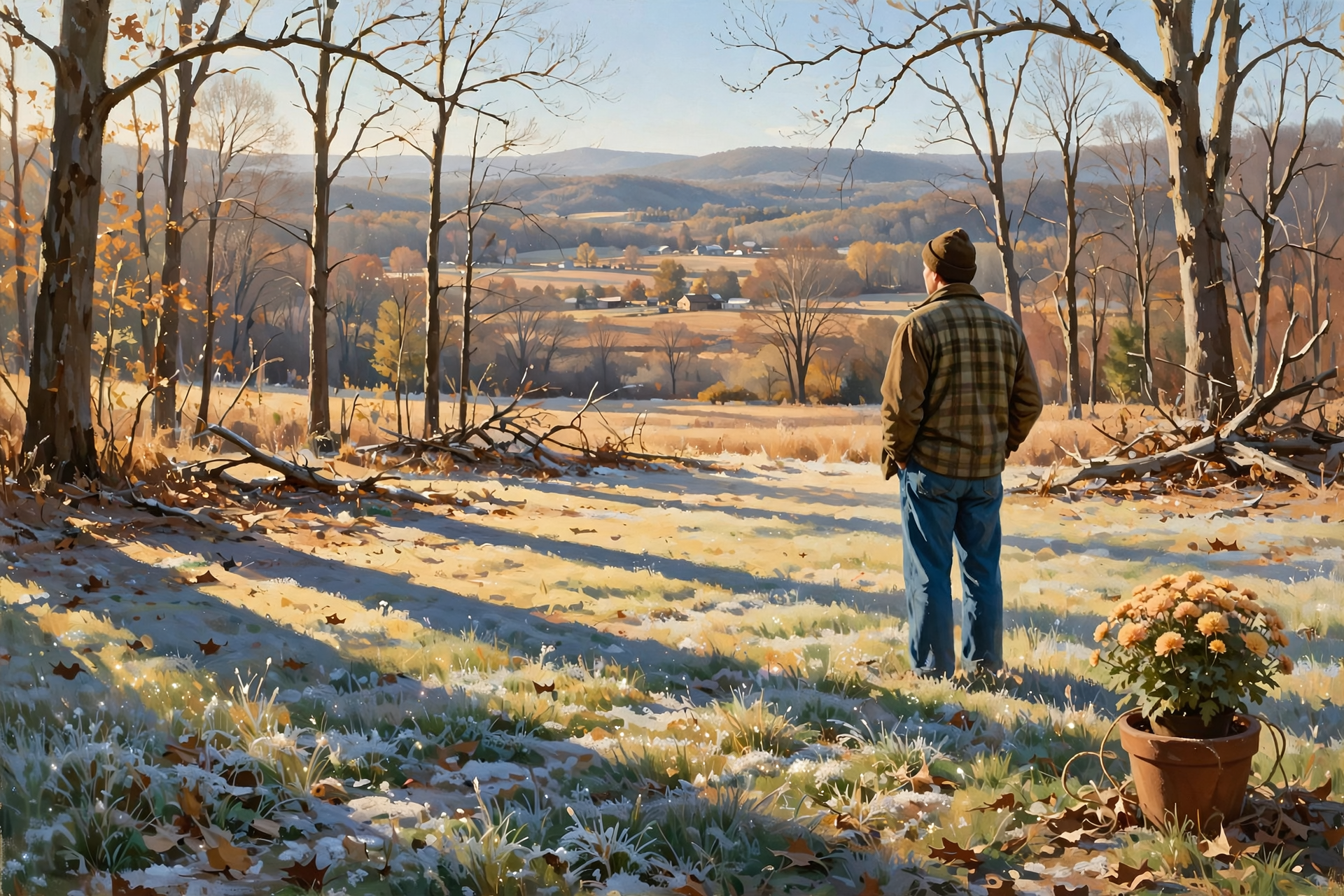
Today is sunshine near 66 and a clear, frosty night near 36. Burn piles can wait. The dry, mild stretch through Veterans Day is a gift for outdoor plans, and then the pattern looks ready to turn colder later in the week. Bring the plants in, dress warm for the early sits, and enjoy the calm stretch while it’s here.
We’ll keep watching the sky so you don’t have to. Read Dunlap.Today for calm, practical weather in plain English.
Sources
Know about an upcoming event or story in the Dunlap, TN area? Submit it here.




0 Comments