

🌾 A Sunny Saturday for Markets and the Parade, the Coldest Night Tonight, Shooting Stars Tuesday Night and 70 by Friday
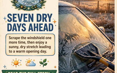
Or: Enjoy the sunshine today, tuck things in one more time tonight, look up late Tuesday night, and get ready for a warm, dry week.
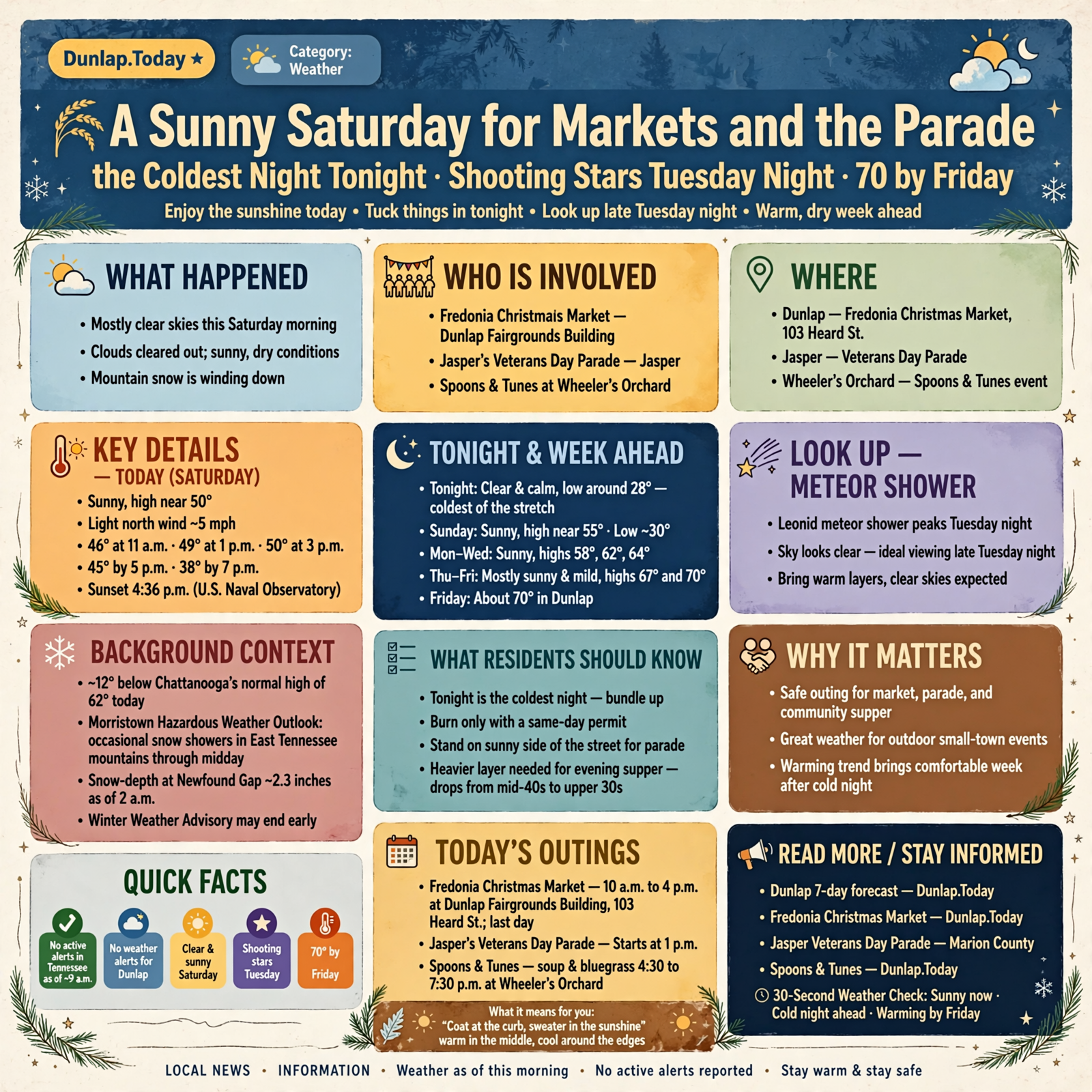
Good Saturday morning, Valley. The clouds have cleared out, and around 8:40 this morning Chattanooga was mostly clear near 46, while Crossville was clear near 37. Here’s the short version, with today’s updates marked: a sunny Saturday with a high near 50, just right for the Fredonia Christmas Market in Dunlap and the Veterans Day Parade in Jasper. There are no weather alerts for Dunlap. Update: the mountain snow is winding down, and by 9 a.m. the weather service’s alert feed showed no active alerts anywhere in Tennessee. Tonight is the coldest night of the stretch, near 28. Then the week warms up day by day, and update: Dunlap’s forecast now reaches about 70 next Friday. Bonus: the Leonid meteor shower peaks around Tuesday night, and the sky looks clear.
⏱️ Your 30-Second Weather Check
- Today (Saturday): Sunny, high near 50, then about 45 by late afternoon. North wind around 5 mph.
- Tonight: Clear and calm, low around 28 — the coldest of the stretch.
- Sunday: Sunny, high near 55. Low around 30.
- Monday–Wednesday: Sunny, highs 58, 62 and 64. Lows near 29 Monday and Tuesday nights, then 33.
- Thursday–Friday: Mostly sunny and mild, highs 67 and 70. Lows 38 and 39.
- Alerts: None for Dunlap. No active alerts in Tennessee as of about 9 a.m.
- Remember: Tonight is the cold one. Burn only with a same-day permit. Look up late Tuesday night for shooting stars.
🎄 Today’s Outings: Sunshine for the Market, the Parade and Supper on the Hill
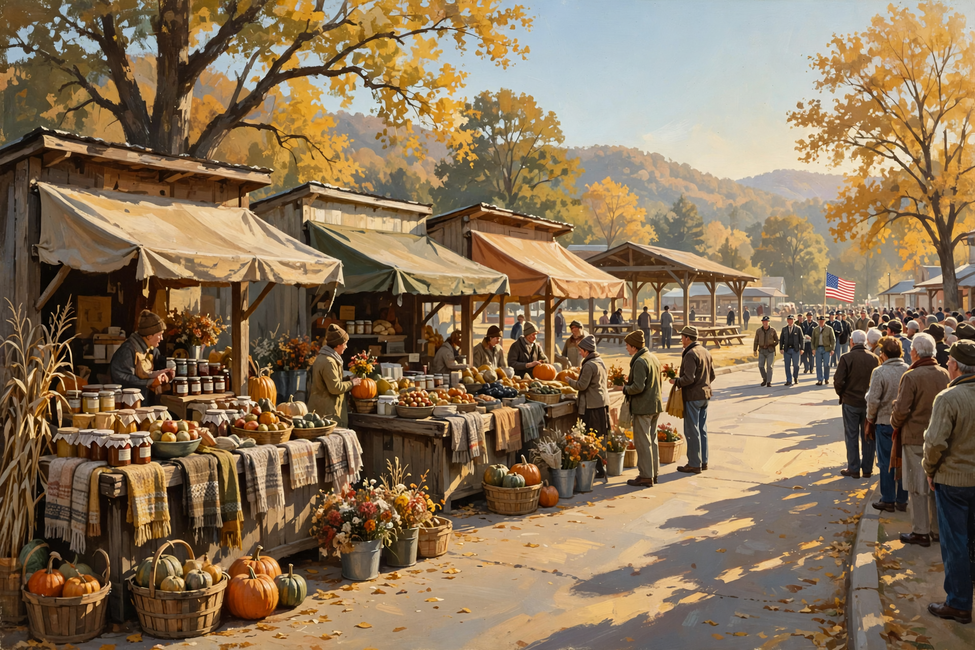
Dunlap’s National Weather Service forecast calls for a sunny Saturday with a high near 50 and a light north wind around 5 mph. That’s about 12 degrees below Chattanooga’s normal high of 62 for today. The hourly forecast shows about 46 at 11 a.m., 49 at 1 p.m., 50 at 3 p.m., then 45 at 5 p.m. and 38 by 7 p.m. Sunset is 4:36 p.m., according to the U.S. Naval Observatory. As reported in this morning’s Front Porch Morning, today is the last day of the Fredonia Christmas Market, 10 a.m. to 4 p.m. at the Dunlap Fairgrounds Building, 103 Heard St.; Jasper’s Veterans Day Parade starts at 1 p.m. Central; and Spoons & Tunes at Wheeler’s Orchard serves soup and bluegrass from 4:30 to 7:30 p.m.
What it means for you: It’s a “coat at the curb, sweater in the sunshine” kind of day — like a pie cooling on the windowsill, warm in the middle and cool around the edges. For the parade, stand on the sunny side of the street. If you’re staying for supper at Wheeler’s, bring a heavier layer: it drops from the mid-40s to the upper 30s while you eat.
👉 Read more (Dunlap 7-day forecast) · Dunlap.Today: Fredonia Christmas Market · Marion County: Jasper Veterans Day Parade · Dunlap.Today: Spoons & Tunes
❄️ The Mountain Snow Is Winding Down
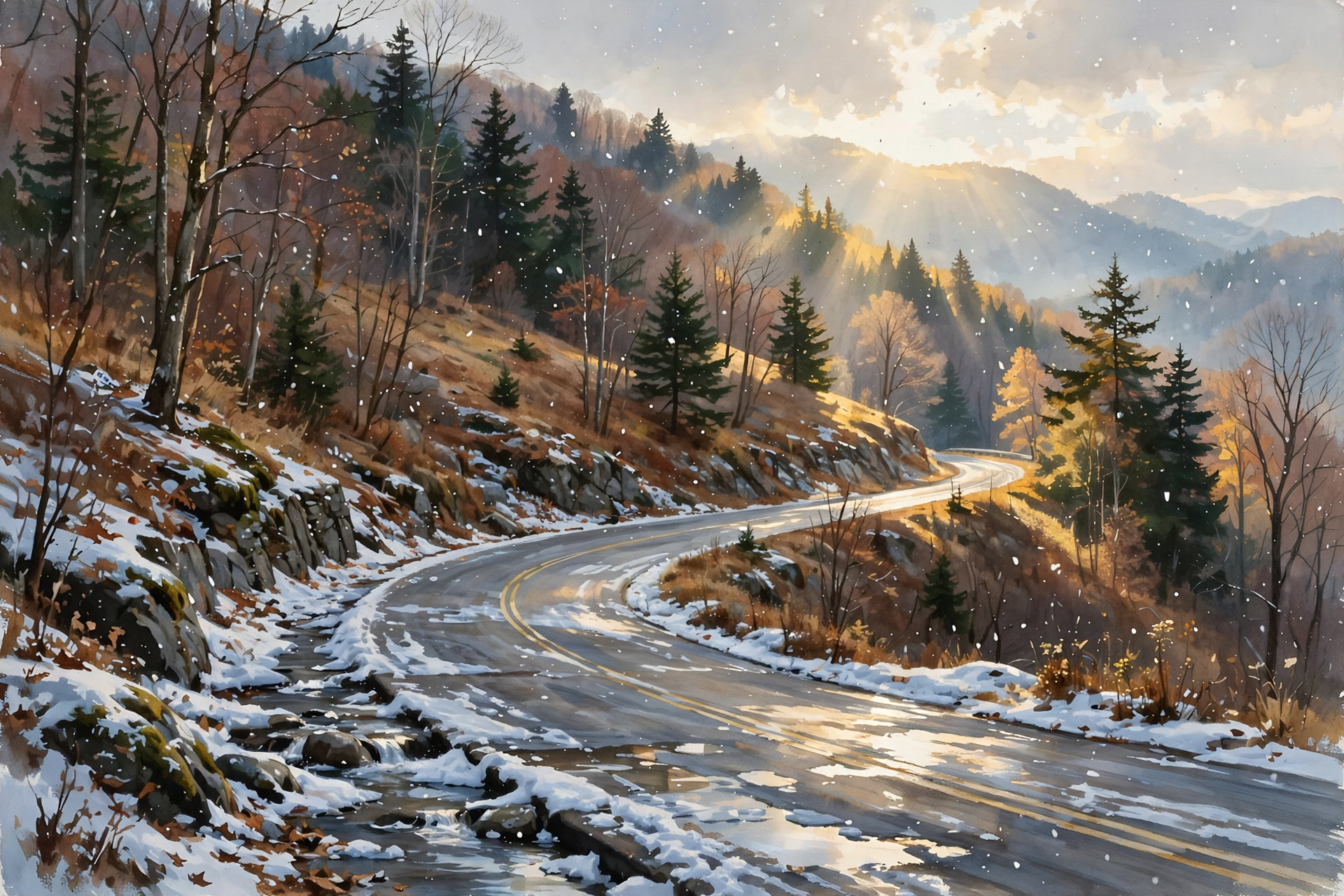
Update: Morristown’s updated Hazardous Weather Outlook, issued at 8:22 a.m. EST, says occasional snow showers may continue through midday in parts of the East Tennessee mountains, but “additional accumulations are not expected.” Earlier this morning, forecasters noted a snow-depth sensor at Newfound Gap read about 2.3 inches as of 2 a.m. and said the Winter Weather Advisory, set to run until 1 p.m. EST, might be ended a little early. When we checked the weather service’s alert feed at about 9:07 a.m. CST, it showed no active alerts in Tennessee. For Sequatchie County and the rest of our area, the outlook says no hazardous weather is expected today through next Friday.
What it means for you: If you were hoping to see snow on the Smokies, this is your postcard weekend. Higher mountain roads can still have slick, shady spots this morning, so check TDOT SmartWay before you go. Down here in the valley, there’s nothing to shovel, just sunshine.
👉 Read more (Hazardous Weather Outlook) · Morristown forecast discussion · TDOT SmartWay road conditions
🥶 Tonight’s the Cold One — and Two More Frosty Mornings Next Week
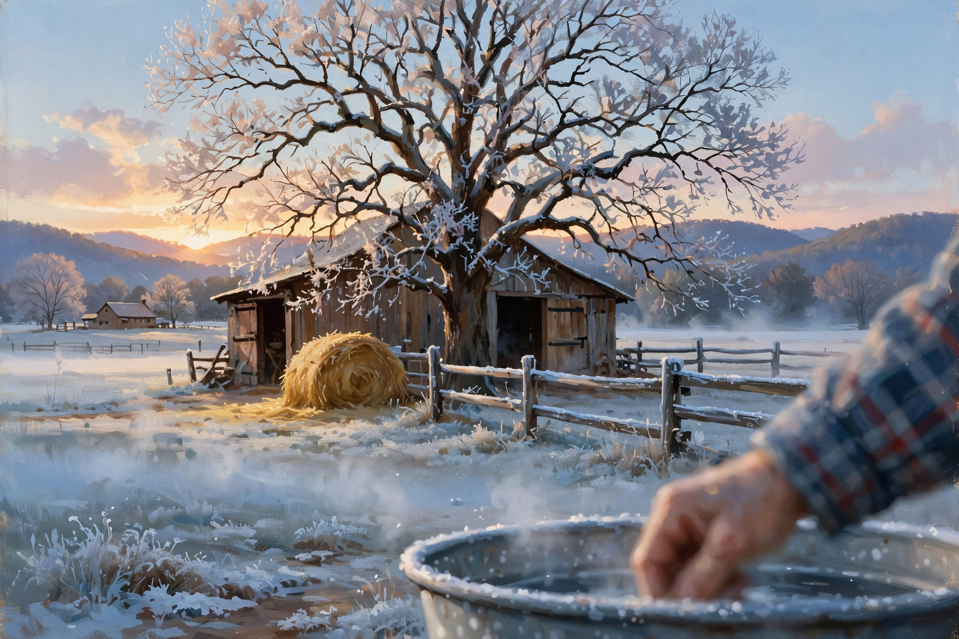
Dunlap’s forecast has a clear, calm night with a low around 28. The hourly forecast shows about 28 at 6 a.m. Sunday, 34 at 8 a.m. and 41 by 9 a.m. Update: the lows for Monday night and Tuesday night now read 29 (yesterday’s forecast said 30). After that, lows climb to 33 Wednesday night, 38 Thursday night and 39 Friday night. Morristown’s forecasters say temperatures stay about 10 to 15 degrees below normal through Sunday, then turn “well above normal” in the second half of the week. No Freeze Watch or Warning is in effect for Dunlap.
What it means for you: This is the last big tuck-in for a while, like banking the woodstove before bed. Give the critters extra hay or bedding tonight, set out fresh water early Sunday, and let the windshield warm up before the drive to church. Keep the spigot covers on through Wednesday morning, since Monday and Tuesday nights still dip below freezing.
👉 Read more (Dunlap 7-day forecast) · Morristown forecast discussion
🔥 Burn Piles: Today Is the Pick, and Wednesday Is the Driest Afternoon
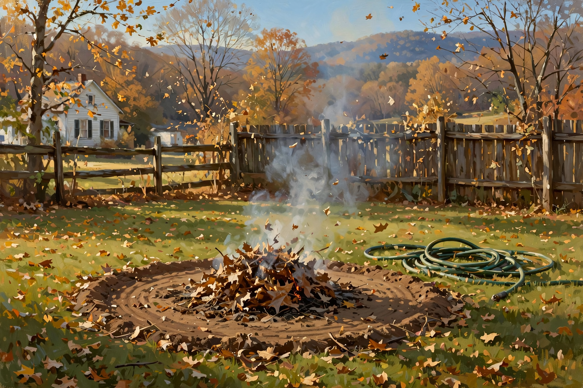
This morning’s fire-weather forecast for the Sequatchie County zone (Dunlap, Cagle, Cartwright, Lone Oak), issued at 12:30 a.m. CST, rates smoke dispersion “Generally Good” today, with a north wind of 6 to 8 mph and humidity around 48 to 53 percent. Tonight is “Very Poor” — smoke would hang low. Update: Sunday now rates only “Fair,” with light and variable wind. Next week the forecast lists afternoon low humidity of 51 percent Monday, 45 Tuesday, 38 Wednesday, 44 Thursday and 46 Friday, with winds under 10 mph. From Oct. 15 through May 15, Tennessee requires a free burn permit for leaf and brush piles — get it the day you burn at BurnSafeTN.org or 877-350-BURN. The state’s burn-ban page says there are no active burn bans in Tennessee this morning. Permits are issued only when conditions allow, and city rules can be stricter.
What it means for you: If the leaf pile is calling, this afternoon is the best draft of the weekend. Wednesday’s dry air makes leaves burn fast, like kindling in a dry barn, so keep piles small, rake a bare ring, keep a hose close, stay with the fire, and have it out well before the 4:35 sunset.
👉 Read more (BurnSafeTN free permits) · Fire-weather forecast · Tennessee burn bans
🦌 Hunters: Opening Day Today, a Warm Lead-In to the Gun Opener
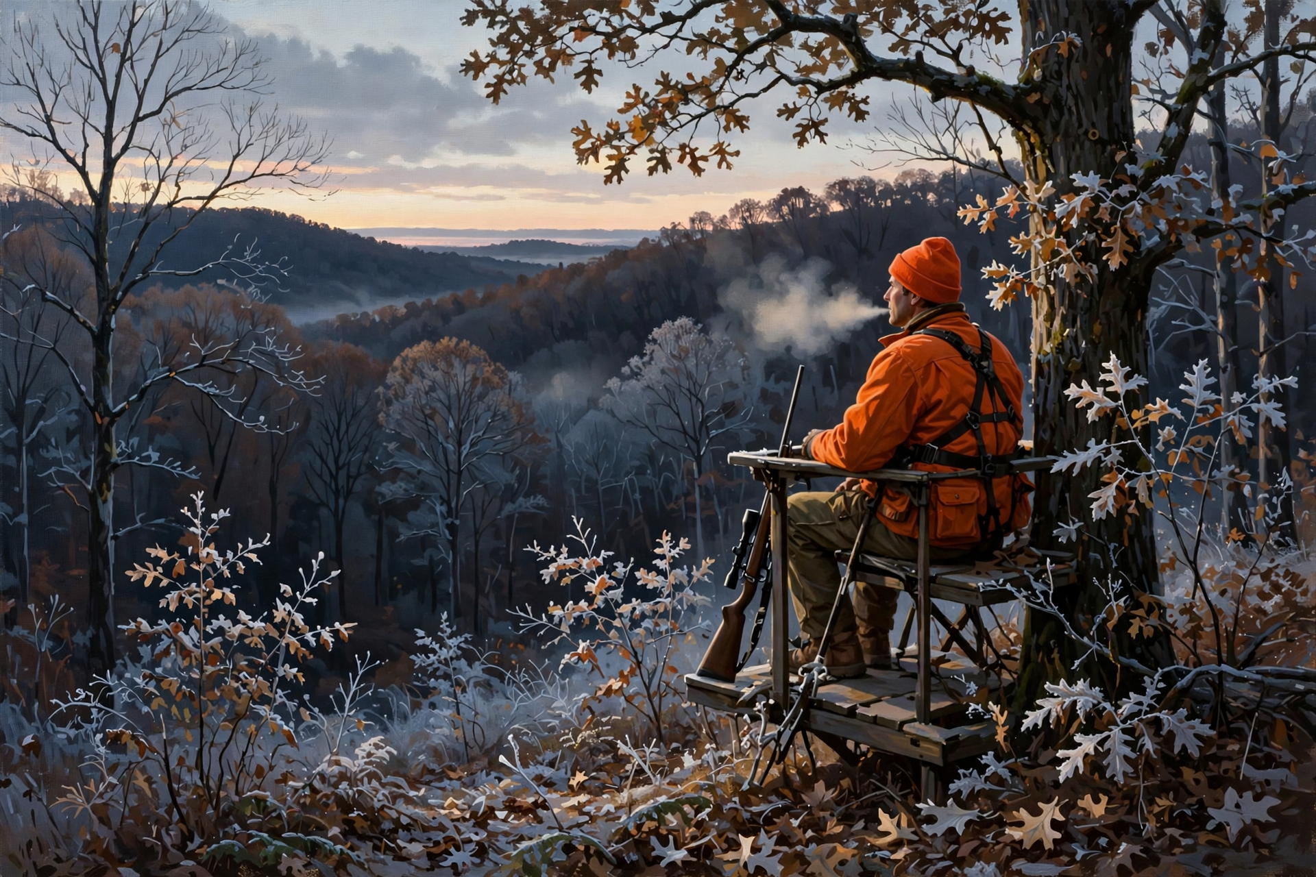
From TWRA’s statewide season summary, checked this morning: today, Nov. 14, single-shot straight-walled cartridge rifles (.35 caliber or larger) are allowed on private lands only through Nov. 20, and woodcock and snipe seasons open. Coming up: fox, mink, muskrat, otter, least weasel and statewide bobcat open Friday, Nov. 20; the gun/muzzleloader/archery deer season opens Saturday, Nov. 21 and runs through Jan. 3; and new on our radar: the first split of duck, coot and merganser season is Nov. 28–29, with the second split Dec. 5 through Jan. 31.
What it means for you: This morning’s stand sits were frosty, and Sunday morning is colder still, near 28 at daybreak (sunrise 6:17 a.m.). By the end of the week, it flips: Dunlap’s forecast for Friday, Nov. 20 shows about 42 at 7 a.m. and a high near 70. Saturday’s gun opener isn’t in the forecast yet, so check back. Dress in layers you can peel, wear your harness, and wear blaze orange where required.
👉 Read more (TWRA seasons summary) · Naval Observatory sunrise and sunset
🌠 Tuesday Night: Leonid Shooting Stars Under a Clear Sky

The Leonid meteor shower peaks around Nov. 17. Britain’s Royal Observatory Greenwich lists the peak on the night of Nov. 17 into Nov. 18, with up to 10 to 15 meteors an hour under ideal dark skies, while NASA notes rates are often as low as about three an hour. Either way, the Leonids are known as fast, bright meteors. The U.S. Naval Observatory shows the Moon setting in Dunlap at 11:49 p.m. Tuesday, so the hours after midnight are darkest. Dunlap’s forecast for Tuesday night is clear and calm, with about 35 at midnight and 31 at 3 a.m. Wednesday.
What it means for you: Think of it as fishing: you might sit a while between bites. Bundle up, take a lawn chair and a blanket out after midnight, get away from porch lights, and give your eyes 20 minutes to adjust. Can’t stay up? Early risers can step out before dawn Wednesday, when the meteors are still flying.
👉 Read more (Royal Observatory Greenwich: Leonids) · NASA: Leonids
🏫 The School Week: Coats at the Bus Stop, Sweaters by Lunch

Dunlap’s hourly forecast has the bus stop near 33 at 7 a.m. Monday, 34 Tuesday, 34 Wednesday, 37 Thursday and 42 Friday, all sunny or mostly sunny and calm. Afternoons climb from about 57 Monday to 61 Tuesday, 63 Wednesday, 66 Thursday and 69 Friday by 3 p.m. Morristown expects an extended period of dry weather for the new work week.
What it means for you: Every day this week is a “peel-off” day. Pack a coat for the morning and a bag to stuff it in by afternoon. By Friday, kids may come home with the coat over their arm instead of on their back — put names in those coats now.
👉 Read more (Dunlap forecast) · Sequatchie County Schools
🔭 Looking Further Out: Still Leaning Mild Toward Thanksgiving
Update: the federal Climate Prediction Center’s newest outlooks, issued Friday, still list Tennessee as leaning above-normal temperatures for Nov. 19–23 and Nov. 21–27. For precipitation, Tennessee leans near normal for Nov. 19–23 and above normal for Nov. 21–27, a window that includes Thanksgiving Day, Nov. 26. Forecasters rate confidence 4 out of 5 for both and note the warm odds are lower for parts of the Southeast as a storm system moves across the southern U.S. These are statewide odds, not a Dunlap forecast. Chattanooga’s climate report for Friday, Nov. 13, shows a high of 50, a low of 40 and no rain. November rain there stands at 1.96 inches, about 0.15 inches above normal, while the year is about 10.46 inches behind. The next U.S. Drought Monitor map comes out Thursday, Nov. 19.
What it means for you: The coming week is for outdoor projects — gutters, roof checks, hanging Christmas lights while your fingers still work. For Thanksgiving week, it’s too early for details, so just keep the rain gear handy and check back.
👉 Read more (Climate Prediction Center discussion) · Chattanooga daily climate report
✅ Your Saturday-to-Friday Checklist
- ☐ Today: Sunny, near 50. Market 10 to 4 in Dunlap. Parade 1 p.m. in Jasper. Warm layer for supper outdoors.
- ☐ Burning: Free same-day BurnSafeTN permit first. This afternoon is the best window. Out before sunset.
- ☐ Tonight: Coldest night, near 28. Extra bedding for animals. Spigot covers on.
- ☐ Sunday morning: About 34 at 8 a.m. Warm up the windshield before church.
- ☐ Mountain trips: Snow ending. Check TDOT SmartWay for shady, slick spots.
- ☐ Monday (Nov. 16): Bus stop near 33. Coat plus a layer to peel off.
- ☐ Tuesday night: Leonid meteors. Best after the Moon sets at 11:49 p.m. Bundle up.
- ☐ Wednesday: Driest afternoon air of the week. Keep any burn pile small.
- ☐ Friday (Nov. 20): Near 70. Furbearer and bobcat seasons open. Gun deer opener is Saturday, Nov. 21.
The rule to remember: One more cold night tonight, then a warm, dry week. Cover up tonight, burn only with a same-day permit, and look up late Tuesday night.
— Dunlap.Today
📚 Plain-English Weather Glossary
- Meteor shower: When Earth passes through a trail of comet dust, tiny bits burn up in the sky as “shooting stars.” The Leonids come from Comet Tempel-Tuttle.
- Peak: The night with the most meteors. A few still fly on the nights before and after.
- Smoke dispersion: How well the air carries smoke up and away. “Generally Good” means it lifts; “Fair” is so-so; “Very Poor” means it hangs low.
- Relative humidity (RH): How much moisture is in the air. Near 40 percent or lower, dead leaves dry out and burn faster.
- Ridge: A big dome of high pressure that brings dry, sunny, warmer-than-normal weather.
- Hazardous Weather Outlook: A daily note from the weather service listing any weather worth watching over the next week.
- 6–10 and 8–14 day outlooks: Odds of warmer or colder, wetter or drier than normal. They’re leanings, not exact forecasts.
❓ Frequently Asked Questions

How cold will it get tonight?
Dunlap’s forecast calls for a clear, calm night with a low around 28, with the coldest hours near dawn Sunday. It’s about 34 by 8 a.m. and 41 by 9 a.m.
Is the weather good for today’s market and parade?
Yes. Dunlap’s forecast is sunny with a high near 50: about 46 at 11 a.m., 49 at 1 p.m. and 50 at 3 p.m., with a light north wind. It cools to about 38 by 7 p.m.
Is the mountain snow over?
Mostly. Morristown said this morning that snow showers may continue through midday in parts of the East Tennessee mountains, with no additional accumulations expected. The alert feed showed no active alerts in Tennessee at about 9:07 a.m. CST.
When is the best time to see the Leonids?
The shower peaks around Nov. 17. In Dunlap, the Moon sets at 11:49 p.m. Tuesday, so after midnight into early Wednesday morning is darkest. The forecast is clear, near 31 by 3 a.m.
Can I burn brush this weekend?
Yes, with a free same-day permit from BurnSafeTN.org or 877-350-BURN, when permits are being issued. There’s no active statewide burn ban. This afternoon has the best smoke lift; Sunday rates only “Fair.”
Will it really reach 70 next week?
Dunlap’s forecast shows a high near 70 on Friday, Nov. 20, after 67 Thursday. The Climate Prediction Center also leans Tennessee warmer than normal into Thanksgiving week.
🔗 Other Resources
- National Weather Service: Dunlap forecast
- National Weather Service Morristown
- Hazardous Weather Outlook
- Morristown forecast discussion
- Morristown fire-weather forecast
- Chattanooga daily climate report
- Climate Prediction Center 6–10 day outlook
- U.S. Drought Monitor: Tennessee
- BurnSafeTN: free burn permits
- Tennessee burn bans
- TWRA hunting seasons summary
- NASA: Leonid meteor shower
- TDOT SmartWay road conditions
- Sequatchie Valley Electric outage information
- Naval Observatory sunrise, sunset and moonset
🌤️ One Cold Night, Then a Week of Sunshine
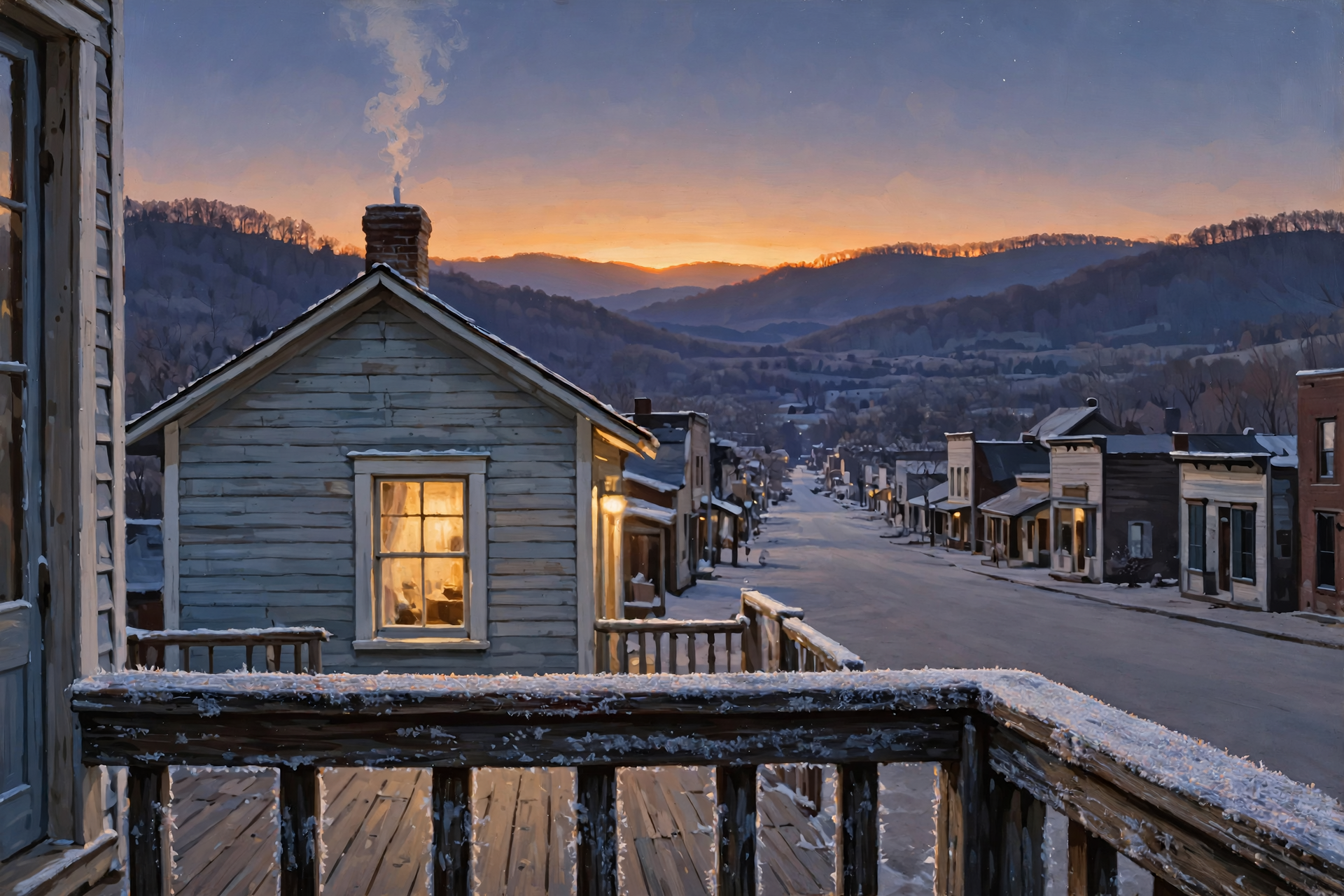
Today is a good day to get out and see your neighbors: a market in Dunlap, a parade in Jasper and soup and music on the hill. Tuck things in one more time tonight, then enjoy a sunny week that warms all the way to 70, with a few shooting stars on the side. No rush, no worry.
We’ll keep watching the sky so you don’t have to. Read Dunlap.Today for calm, practical weather in plain English.
Sources
Know about an upcoming event or story in the Dunlap, TN area? Submit it here.



0 Comments