

🌬️ The Front Blows In Today, Frost Eyes Sunday Morning, and the Ground Is Still Thirsty — Your Valley Weather, Garden & Farm Friday
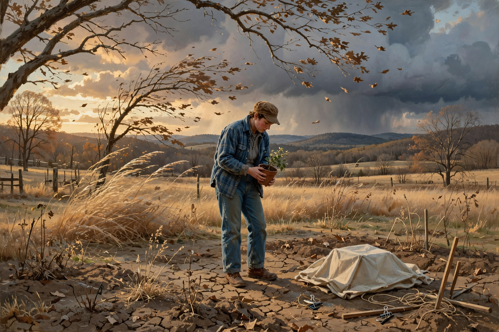
Or: Two Record Afternoons Behind Us, Two Cold Calm Dawns Ahead, and a Week of Good Burning Mornings
By Thomas Seest, Dunlap.Today · Friday, October 16, 2026
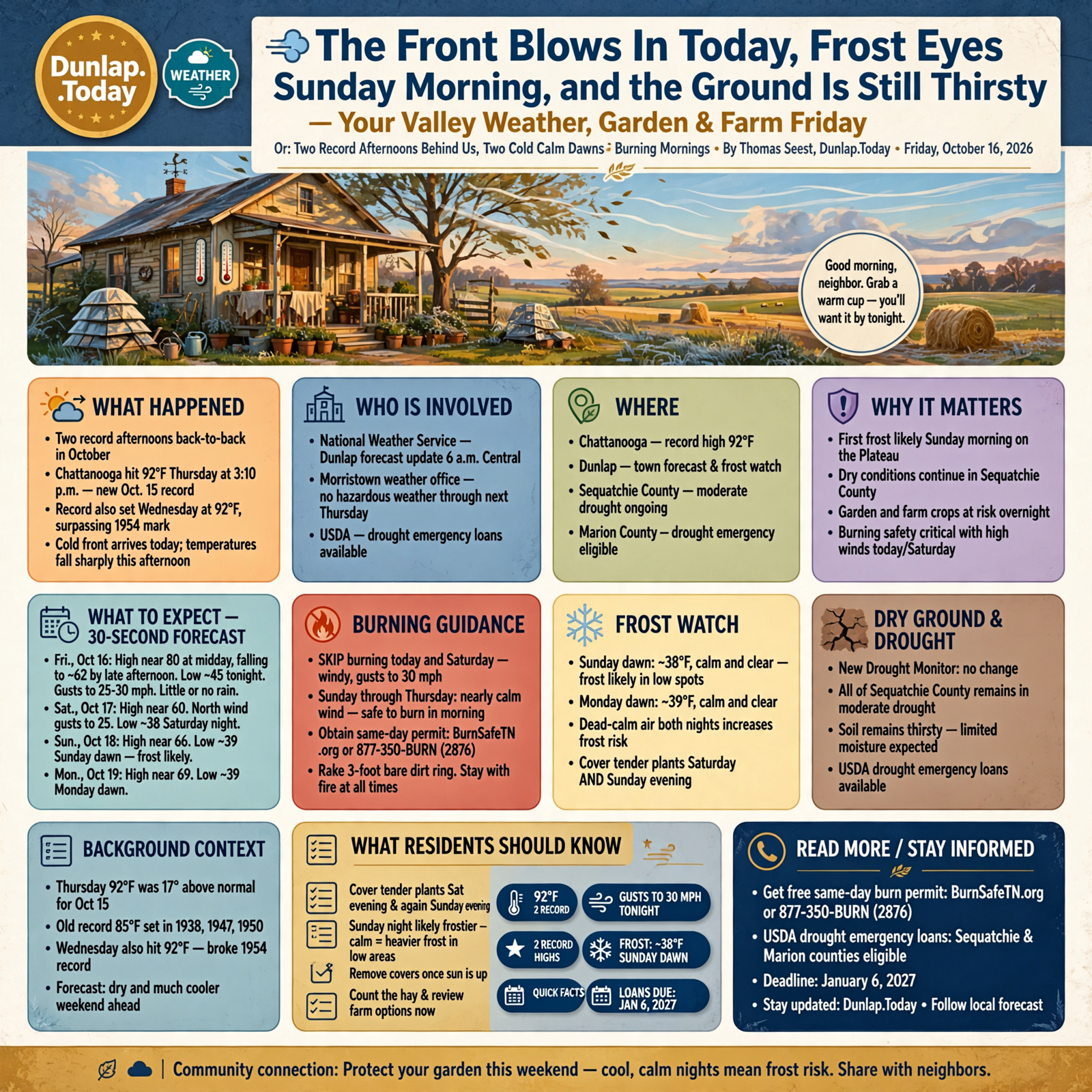
Good morning, neighbor. Grab a warm cup — you’ll want it by tonight. For the second day in a row, Chattanooga set a record high: 92 degrees on Thursday, beating the old Oct. 15 mark of 85. That’s two record afternoons back to back in the middle of October.
That run ends today. The National Weather Service forecast for Dunlap (updated about 6 a.m. Central) calls for a high near 80 around midday, then a cold front with temperatures falling to around 62 by late afternoon and west-to-north wind gusting near 25 mph — up to 30 tonight.
The big change since Thursday’s edition: forecasters now say the first frost of the season is likely on the Plateau Sunday morning. Dunlap’s town forecast shows about 38 at dawn Sunday and 39 at dawn Monday, both with dead-calm air — the kind of night when frost settles into low spots.
⏱️ What this means for you in 30 seconds
- Today (Fri.): Near 80 at midday, falling to about 62 by late afternoon and the low 50s by 9 p.m. Gusts near 25, up to 30 tonight. Little or no rain here.
- Saturday: High near 60, north wind gusting near 25. About 47° at 9 a.m. for the market.
- Frost watch: Sunday dawn about 38, Monday dawn about 39, calm and clear both nights. Plateau frost likely Sunday morning.
- Burning: Skip today and Saturday. Sunday through Thursday show nearly calm wind; burn in the morning with a same-day permit.
- Dry ground: New Drought Monitor map shows no change — all of Sequatchie County still in moderate drought.
📝 Jot This Down
- Cover tender plants Saturday evening and again Sunday evening. Sunday night is calmer, so it may be the frostier of the two in low spots. Take covers off once the sun is up.
- Burn on a calm morning, not a windy afternoon. Get a free same-day permit at BurnSafeTN.org or 877-350-BURN (2876), rake a 3-foot ring of bare dirt, and stay with the fire.
- Count the hay and know your options. Sequatchie and Marion counties remain eligible for USDA drought emergency loans; the later deadline is Jan. 6, 2027.
🌡️ Two Records in a Row, Then the Front Arrives This Afternoon
The Chattanooga climate report shows the airport hit 92 degrees at 3:10 p.m. Thursday, 17 degrees above normal. The old record for Oct. 15 was 85, shared by 1938, 1947 and 1950. On Wednesday, the same station reached 92 and broke a 1954 record.
The Morristown weather office lists no hazardous weather today through next Thursday. Its key messages this morning: a front arrives from the west this afternoon with gusts up to 30 mph at times, showers mainly in northern areas and the mountains (isolated at best down our way), and a dry, much cooler weekend.
The Dunlap point forecast (updated about 6:05 a.m. Central):
- Fri., Oct. 16: Mostly sunny. High near 80, falling to around 62 in the afternoon. West wind 5–15 mph, gusts up to 25. Tonight mostly cloudy, low around 45, north wind gusting to 30.
- Sat., Oct. 17: Mostly sunny. High near 60. North wind 10–15 mph, gusts up to 25. Saturday night mostly clear, low around 38.
- Sun., Oct. 18: Sunny. High near 66, nearly calm. Sunday night clear, low around 39.
- Mon., Oct. 19: Sunny. High near 69. Low around 42.
- Tue., Oct. 20: Sunny. High near 74. Low around 45.
- Wed., Oct. 21: Sunny. High near 76. Low around 47.
- Thu., Oct. 22: Sunny. High near 77. Low around 48.
Since Thursday’s edition, Sunday’s high came up a couple of degrees (66, was 64), Sunday night slipped to 39 (was 40), and next week warms a little faster, into the mid-70s by Tuesday. No rain shows up in the seven-day forecast after today’s slim chance.
What it means for you: If you’re out for this morning’s homecoming festivities, it’ll be pleasant — around 70 at 9 a.m. with a light breeze. Get outdoor chores done before lunch. The hourly forecast drops from about 79 at noon to about 60 by 6 p.m., so have a jacket in the truck. Put away anything light on the porch before supper; tonight’s north gusts near 30 will find it.
👉 Read more (NWS Dunlap forecast) · Chattanooga climate report · NWS Morristown forecast discussion
❄️ Sunday and Monday Dawns: Calm, Clear and Cold Enough to Watch
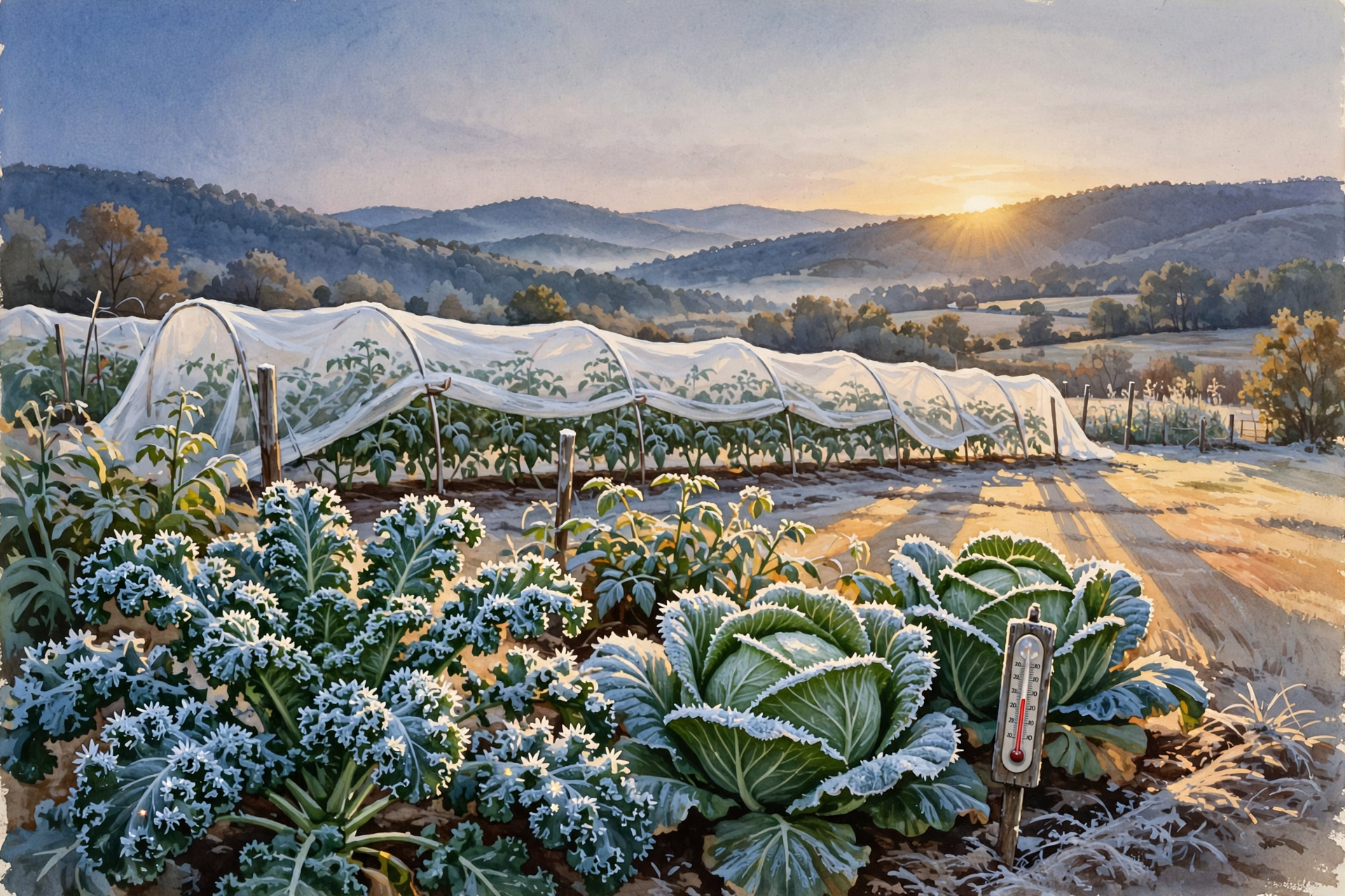
This morning’s Morristown discussion puts it plainly: the first frost of the season is likely on the Plateau, in southwest Virginia and in the mountains Sunday morning. Frost is possible Saturday and Sunday nights mainly in northeast Tennessee and the higher elevations. If you live up on Walden Ridge or out toward Fall Creek Falls, plan on it.
Down on the Valley floor, Dunlap’s hourly forecast shows about 38 degrees from 6 to 7 a.m. Sunday and about 39 at the same hour Monday, with the wind at zero both mornings. That’s the official town number. Calm, clear nights let cold air drain into creek bottoms and hollows, so low fields can run a few degrees colder than town. Saturday night has a light northeast breeze early, which can stir the air a little; Sunday night has none.
For a sense of timing, UT Extension’s 2026 garden calendar lists Oct. 4 for Crossville and Oct. 21 for Chattanooga as cautious first-frost dates — dates with only a 10 percent chance of frost coming earlier. The Valley sits between the two, so this weekend is right on schedule.
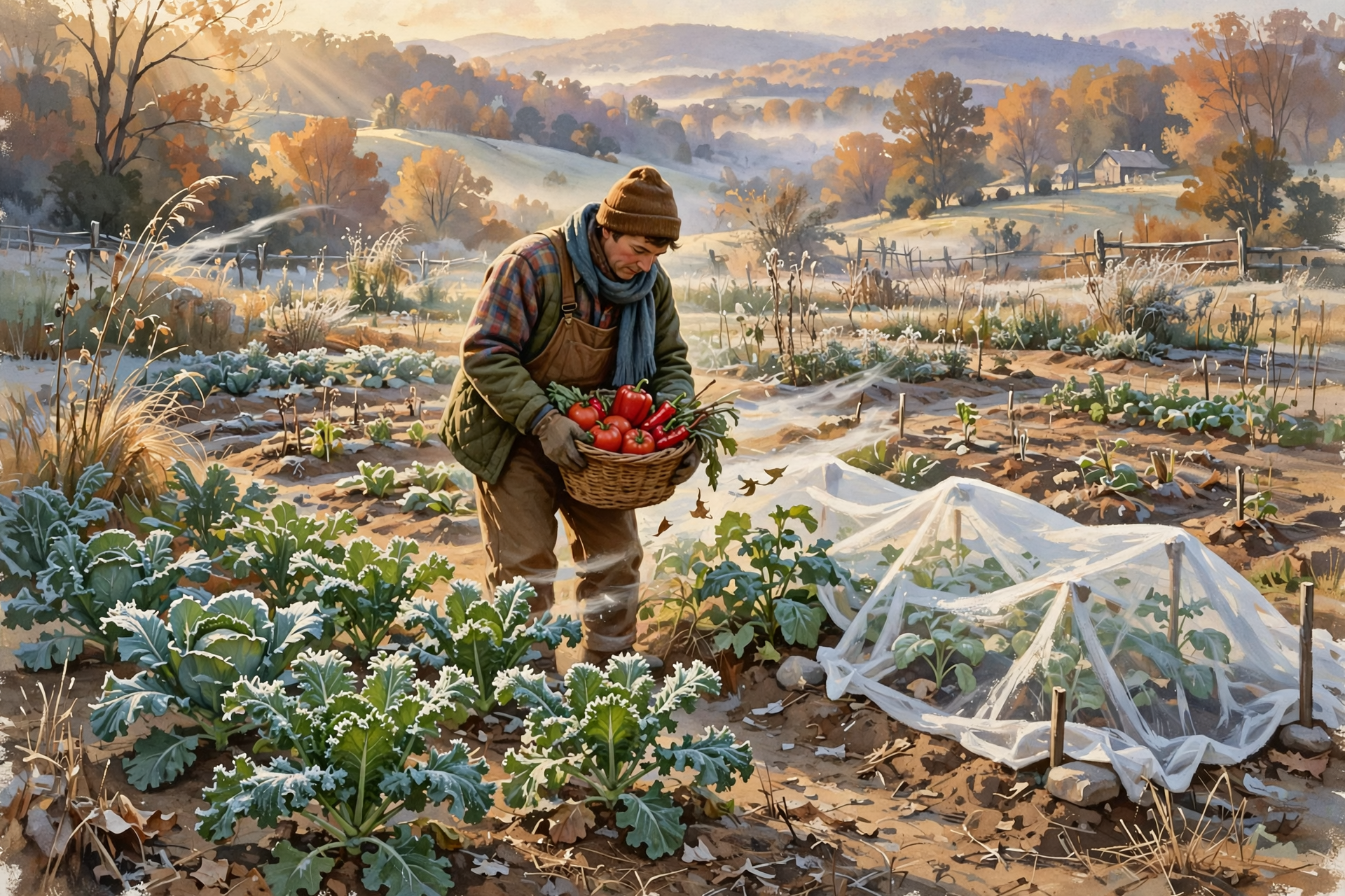
UT’s calendar adds one tip worth knowing: floating row covers can lie right on plants, but tomatoes and peppers have tender growing tips that can be rubbed raw by the cloth. Prop the cover up with a few stakes or tomato cages over those plants.
What it means for you: Pick the last peppers and ripe or turning tomatoes today or Saturday; green ones can ripen slowly on the kitchen counter. Bring porch ferns and tender pots inside Saturday afternoon. Cover the garden before dark Saturday, uncover Sunday mid-morning, and cover again Sunday evening. Collards, kale and cabbage can stay out — a touch of frost often sweetens them.
👉 Read more (NWS Morristown key messages) · UT: 2026 Garden Calendar and frost dates
🔥 A Week of Calm Mornings for the Brush Pile
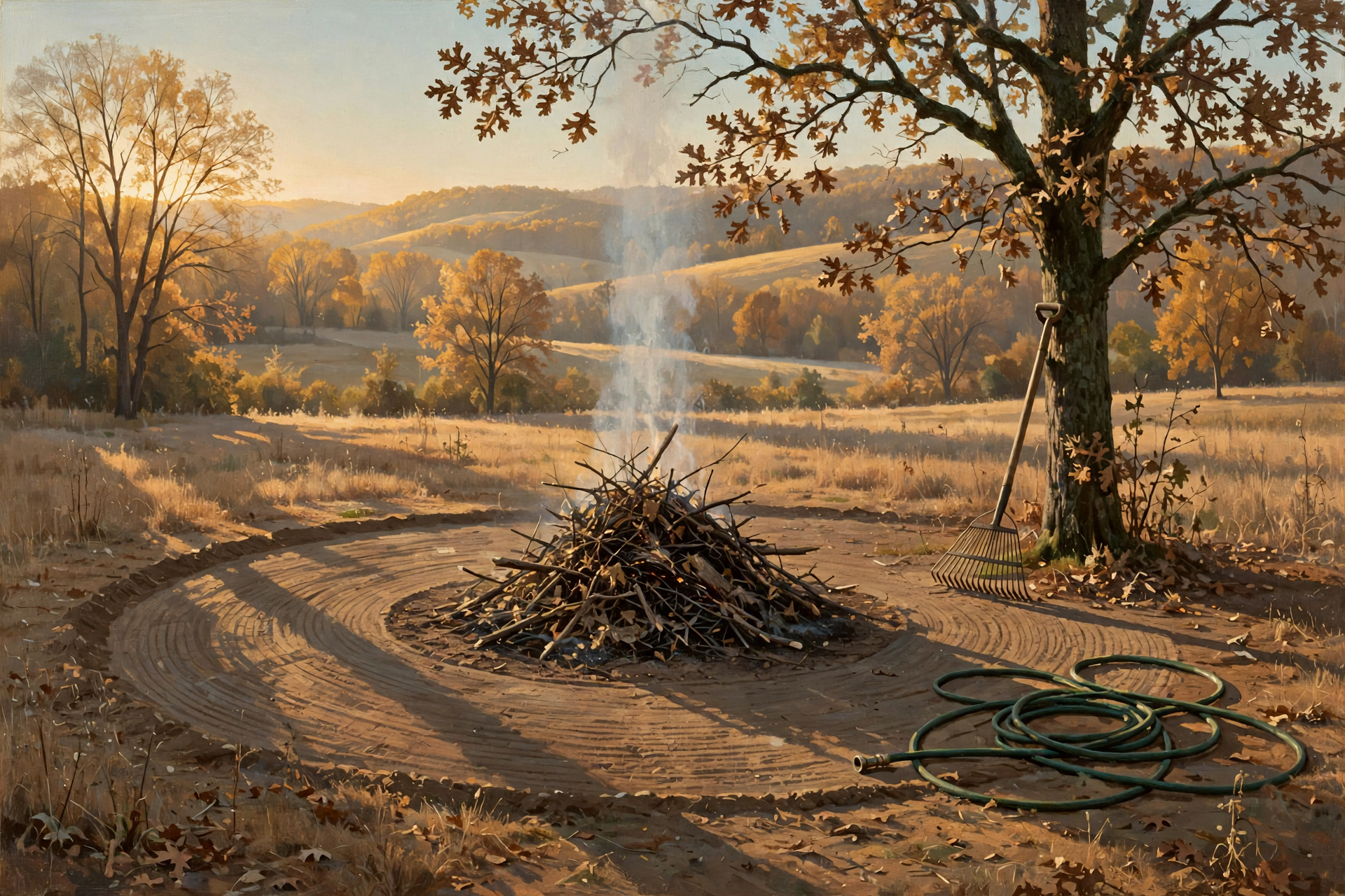
Burn-permit season opened Thursday and runs through May 15. Today and Saturday are poor burning days — gusts of 25 to 30 mph can carry embers into dry leaves. But the forecast shows nearly calm wind Sunday through Thursday, which is about as good a stretch as you’ll get this fall.
The Tennessee Division of Forestry’s permit page offers some practical rules:
- Permits are free and good for one day. Online at BurnSafeTN.org, 7 days a week, 8 a.m.–11 p.m.; by phone at 877-350-BURN (2876), weekdays 8 a.m.–4:30 p.m. Central. Phone lines can be busy.
- Mornings and early evenings are usually best, when wind is lighter and humidity higher.
- Rake a firebreak of bare ground at least 3 feet wide through leaves or short grass, and 5 feet through tall grass or brush.
- Keep piles small and add to them as they burn down. Stay away from overhanging limbs and power lines.
- If you’re burning wooded land, let neighbors know at least 2 days ahead.
- Have the fire completely out by midnight.
Even on calm days, the hourly forecast shows afternoon humidity dipping to about 41 to 45 percent next week, and the ground hasn’t caught up on rain. A covered burn barrel with a ½-inch mesh screen doesn’t need a permit. Inside Dunlap city limits, check with City Hall at 423-949-2115 first.
What it means for you: Sunday or Monday morning looks like a fine time to burn the pile you stacked this week. Get the permit that morning, have a hose and rake at hand, and don’t walk away until it’s cold ashes.
👉 Read more (TN Division of Forestry: Get a Burn Permit) · BurnSafeTN
🏜️ The New Drought Map: No Change, and the Season Is Still Short
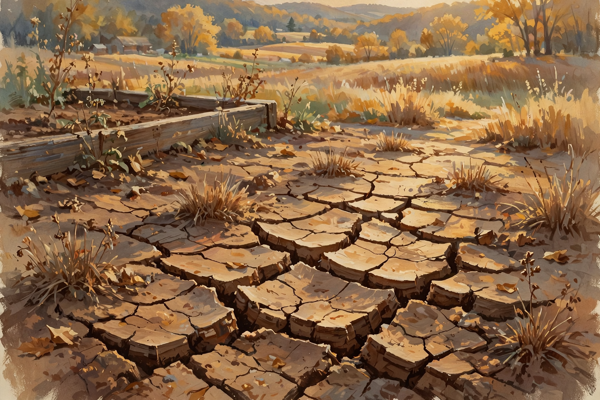
The U.S. Drought Monitor map released Thursday (valid Oct. 13) shows Sequatchie County unchanged: 100 percent in at least moderate drought and about 6 percent in severe drought. Next door, Marion County has about 19 percent in severe drought, and Bledsoe County about a third in moderate drought.
The numbers explain why. Chattanooga’s October rain is actually a bit above normal so far (2.71 inches, thanks to early-month showers), but since Sept. 1 the airport has had just 3.39 inches, 2.61 below normal, and it’s nearly 9 inches behind for the year. No rain appears in the forecast after today.
Help is still on the table. USDA’s Farm Service Agency named Sequatchie and Marion primary counties in a June drought disaster designation, which lets farmers apply for emergency loans to replace equipment or livestock, reorganize, or refinance certain debts. That application deadline is Jan. 6, 2027. An earlier designation that included both counties as neighbors runs to Dec. 10, 2026. FSA reviews each request based on losses, security and ability to repay.
What it means for you: Keep watering new garlic, fall greens and anything you planted this month. If the dry year has set your farm back, a call to your local USDA Service Center costs nothing. The next drought map comes out Thursday, Oct. 22.
👉 Read more (U.S. Drought Monitor) · USDA FSA drought designation
🐴 Farm and Barn: A Saturday Horse Sale, Prussic Acid Timing and the Hay Count
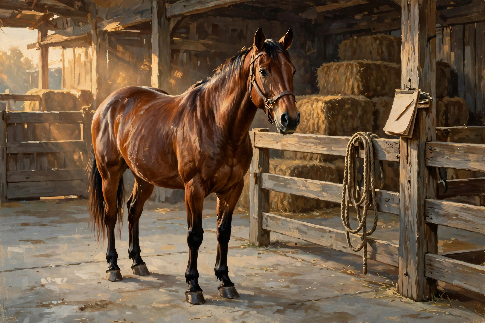
Horse and tack sale in Dunlap: Dunlap.Today reports that American Made Livestock Market in Dunlap holds a tack and horse sale Saturday, Oct. 17, with online bidding at americanmadelivestock.hibid.com. Among the listings is “Goose,” a 5-year-old quarter horse gelding described as suited for barrel racing and roping. The market’s fall schedule also includes a “Spooktacular” horse and mule sale on Saturday, Oct. 31. The sale time wasn’t listed in the report, so call ahead or check the bidding site before you hitch the trailer.
If frost touches your pasture: The UT Beef & Forage Center rule applies to Sunday or Monday’s frost. Keep cattle off johnsongrass, sudangrass and sorghum-sudangrass for 10 to 14 days, and off any new green regrowth, because frosted plants can release prussic acid. A frost Sunday morning means waiting until about Oct. 28 to Nov. 1.
Hay: USDA’s statewide Crop Progress report from Monday rated about 37 percent of Tennessee pastures poor or very poor. The next report comes out Monday, Oct. 19. With cool weather slowing grass growth, many herds will lean on hay sooner.
What it means for you: Write any frost date on the barn calendar and count forward two weeks. Walk the hay barn with a notepad this weekend. If you’re shopping for a horse or tack Saturday, bring a halter, ask about vet records and confirm the start time first. Questions about forage? UT Extension Sequatchie: 423-949-2611.
👉 Read more (Dunlap.Today: American Made Livestock Market sale) · UT: Prussic Acid After Frost · USDA Crop Progress
🌱 Garden Notes for the Week, Plus a Volunteer Morning in Crossville
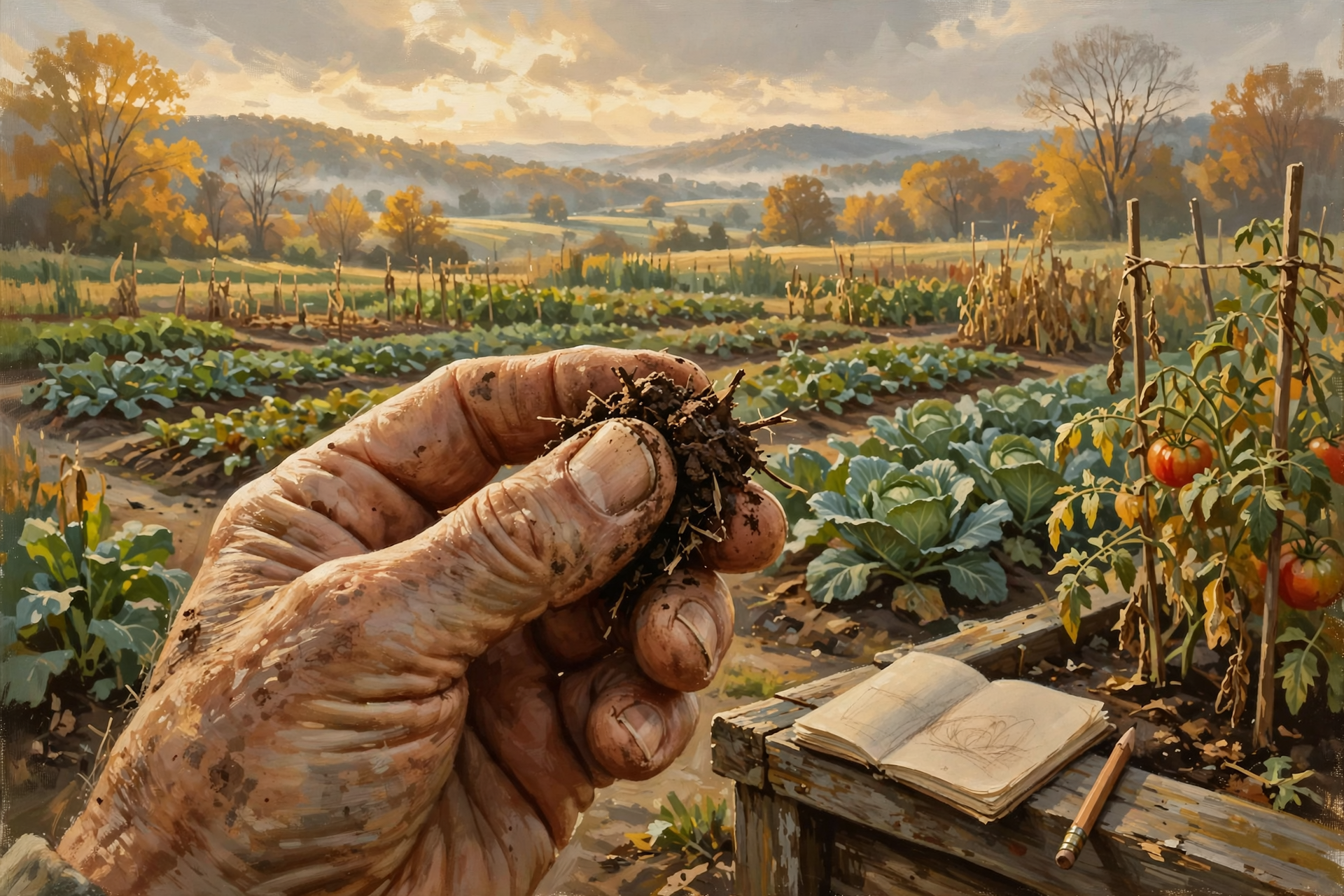
UT’s 2026 Home Fruit and Vegetable Garden calendar (W436) has these reminders for the days ahead:
- Fri., Oct. 16: Make sure late-season crops have enough water and nutrients, but not too much.
- Sat., Oct. 17: Write down your favorite pepper and tomato varieties from this year.
- Sun., Oct. 18: Have you had a frost yet? Write it down.
- Mon., Oct. 19: Cabbage-family crops sometimes taste better after a bit of frost.
- Wed., Oct. 21: Review soil test reports and adjust pH for next year.
- Sat., Oct. 24: Fall is a good time to deal with voles or other problems in fruit plantings.
UT’s October task list also says fall crops need less water as it cools — but with this dry spell, check the soil with a finger before you skip watering. October is still a good month to seed cover crops and take soil tests.
Volunteer this morning: Dunlap.Today reports a fall volunteer day at the garden site at 320 Experiment Station Road in Crossville this morning, Friday, Oct. 16, at 9 a.m. Central, with seasonal cleanup, fall planting and moving tropical plants into the greenhouse for winter. No experience is needed. It’s about an hour’s drive up the mountain, so this one is for early risers; the Crossville-Cumberland County Chamber of Commerce has details.
What it means for you: Start a little garden notebook this weekend — best varieties Saturday, frost date Sunday. Dig out last year’s soil test, or take a sample to UT Extension Sequatchie at 170 Church Street in Dunlap (open weekdays 8 a.m.–4:30 p.m., closed noon to 1).
👉 Read more (UT 2026 Garden Calendar) · Dunlap.Today: Fall volunteer days · UT Extension Sequatchie County
🛒 Saturday Morning Outdoors: Market Layers and Leaf-Peeping Weather

The Dunlap Farmers Market is open 9 a.m.–1 p.m. Saturday at the Jeff Johnson Pavilion in Harris Park, with Young Entrepreneurs Day for youth vendors. Today’s hourly forecast shows about 47 degrees at 9 a.m. — a degree cooler than Thursday’s look — with a north wind near 10 mph, reaching the mid-50s by noon. The free Days of Yesteryear antique tractor show runs Saturday and Sunday at Coops Creek Commons, 287 Pine Street.
It’s also good color-watching weather. A Dunlap.Today report drawing on the Crossville-Cumberland County Chamber says color typically reaches its peak across much of the Plateau in mid to late October, then moves down into valleys and along rivers into early November. Sunday’s sunshine and light wind make it a nice afternoon for a slow drive up the mountain.
What it means for you: Wear a warm layer and a windbreaker Saturday morning and bring a market bag. Save the scenic drive for Sunday afternoon, when it’s near 66 and calm.
👉 Read more (Dunlap Farmers Market) · Dunlap.Today: Fall color in stages
📅 Week-Ahead Weather, Garden & Farm Calendar
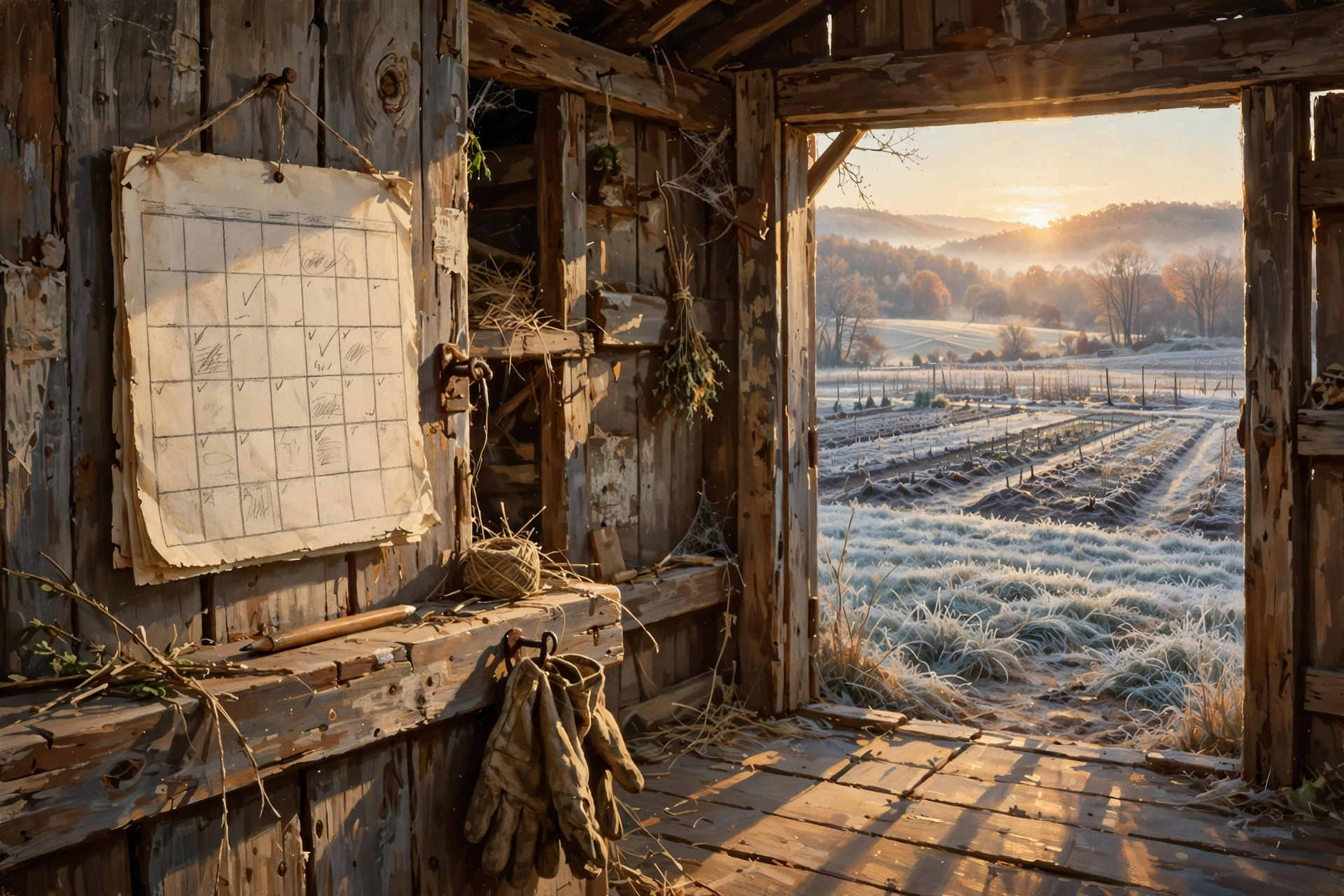
- Fri., Oct. 16: Near 80 at midday, falling to about 62 by late afternoon. Gusts near 25 (30 tonight). Don’t burn. Crossville garden volunteer day, 9 a.m.
- Sat., Oct. 17: High near 60, north gusts near 25. Farmers Market + Young Entrepreneurs Day, 9 a.m.–1 p.m. (about 47 at opening). American Made Livestock Market tack and horse sale (call for time). Days of Yesteryear, day one. Cover tender plants before dark.
- Sun., Oct. 18: About 38 at dawn, then sunny near 66, calm. Plateau frost likely. Days of Yesteryear, day two. Good morning to burn with a permit. Cover plants again Sunday evening (about 39).
- Mon., Oct. 19: About 39 at dawn, sunny near 69. USDA Crop Progress report. Count 10–14 days from any frost before grazing johnsongrass.
- Tue., Oct. 20: Sunny near 74, calm.
- Wed., Oct. 21: Sunny near 76. UT calendar: review soil reports. Chattanooga’s cautious first-frost date.
- Thu., Oct. 22: Sunny near 77. New Drought Monitor map.
- Looking further: Market Saturdays continue through October; horse and mule “Spooktacular” sale Oct. 31; garlic window to about Nov. 1; FSA drought loan deadlines Dec. 10 and Jan. 6.
✅ Your Weather, Garden & Farm Checklist for This Week
- ✅ Finish outdoor chores before lunch today; keep a jacket handy for the afternoon drop.
- ✅ Tie down or put away light porch items before tonight’s gusts near 30.
- ✅ Pick the last peppers and tomatoes today or Saturday.
- ✅ Cover tender plants Saturday and Sunday evenings; prop covers up off tomato and pepper tips.
- ✅ Bring porch ferns and tender pots inside Saturday afternoon.
- ✅ Burn on a calm morning Sunday–Thursday with a same-day permit and a 3-foot dirt ring.
- ✅ Keep watering new garlic and fall greens — the drought map didn’t budge.
- ✅ Write down your best varieties Saturday and any frost date Sunday or Monday.
- ✅ Keep cattle off frosted johnsongrass for 10–14 days.
- ✅ Count your hay; call the USDA Service Center if you need to ask about drought loans.
- ✅ Wear layers to Saturday’s market (~47° at 9 a.m.).
Practical rule: Let the wind blow itself out, cover the garden on the calm nights, and do your burning on the calm mornings.
— Dunlap.Today
📚 Plain-English Weather, Garden & Farm Glossary
- Cold front: The leading edge of cooler, drier air. It often brings gusty wind and a quick temperature drop.
- Record high: The warmest temperature ever measured at a weather station on that calendar date.
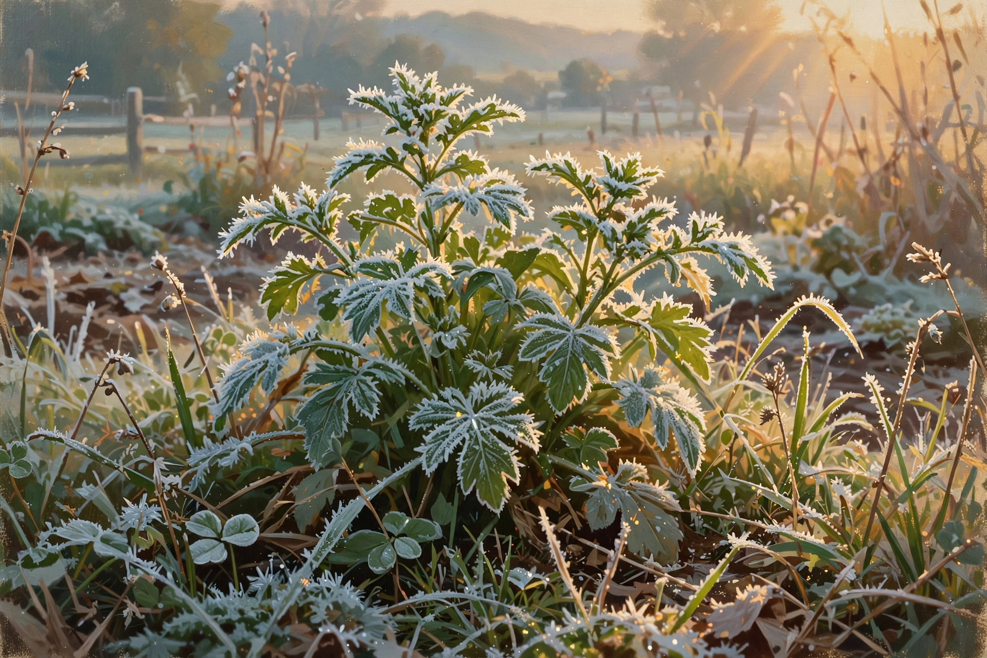
- Frost: Ice crystals that form on grass and plants on clear, calm, cold nights — often in low spots even when the official low is in the upper 30s.
- Plateau: The high ground above the Valley, including Walden Ridge and the Cumberland Plateau, which usually cools first.
- Cautious first-frost date: A date with only about a 10 percent chance that the first fall frost comes earlier.
- Floating row cover: Lightweight garden fabric laid over plants to hold in warmth overnight.
- Firebreak: A strip of bare dirt raked or plowed around a burn pile to stop fire from creeping.
- Drought Monitor: A weekly national map rating how dry each area is, from abnormally dry (D0) to exceptional drought (D4).
- Disaster designation: A USDA declaration that opens emergency farm loans in named and neighboring counties.
- Prussic acid: A poison released by frosted johnsongrass and sorghum-type grasses that fades as the plants dry.
❓ Frequently Asked Questions

Will it frost in Dunlap this weekend?
Possibly in low spots. Dunlap’s town forecast shows about 38 at dawn Sunday and 39 at dawn Monday, with calm air. NWS Morristown says first frost is likely on the Plateau Sunday morning. Cover tender plants both evenings to be safe.
Which night is riskier, Saturday or Sunday?
The numbers are nearly the same, but Sunday night is forecast to be dead calm while Saturday night starts with a light northeast breeze. Calm air lets frost form more easily, so don’t put your covers away Sunday morning.
Did Chattanooga really set another record?
Yes. The airport reached 92 on Thursday, Oct. 15, beating the old record of 85. It also hit a record 92 on Wednesday.
When’s the best day this week to burn brush?
Not today or Saturday. Sunday through Thursday show nearly calm wind. Go in the morning, get a free same-day permit at BurnSafeTN.org or 877-350-BURN (2876) on weekdays, and keep the fire small and attended.
Did last week’s rain end the drought?
Not on paper. The map released Thursday still shows all of Sequatchie County in moderate drought and about 6 percent in severe drought. Chattanooga is 2.61 inches below normal since Sept. 1.
Can farmers still get drought help?
Yes. Sequatchie and Marion are named in a USDA drought designation with an emergency-loan deadline of Jan. 6, 2027. Contact your local USDA Service Center to ask.
What time is Saturday’s horse sale?
The Dunlap.Today report didn’t list a start time. Check americanmadelivestock.hibid.com or call the market before you go.
🔗 Other Resources
- UT Extension Sequatchie County — 170 Church St., Dunlap · 423-949-2611
- National Weather Service: Dunlap forecast
- NWS Morristown Hazardous Weather Outlook
- NWS Morristown forecast discussion
- U.S. Drought Monitor
- TN Division of Forestry: Burn Permits · BurnSafeTN · 877-350-BURN (2876)
- USDA FSA: Tennessee drought disaster designation
- UT: 2026 Home Fruit and Vegetable Garden calendar (W436)
- UT Beef & Forage Center: Prussic Acid After Frost
- USDA NASS Crop Progress
- Dunlap Farmers Market
- Dunlap.Today
🍂 Let the Wind Pass, Then Enjoy a Crisp, Quiet Week
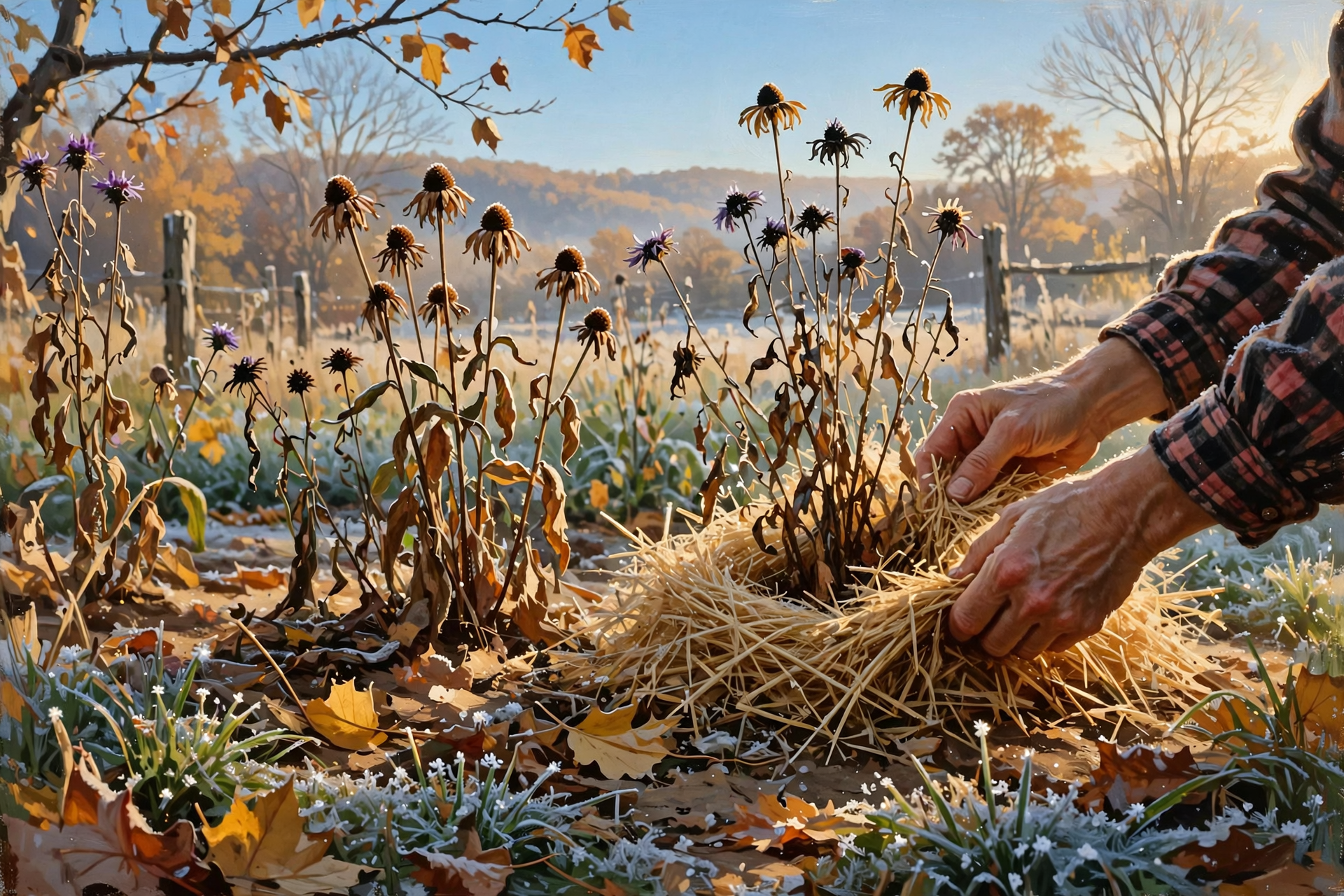
After two record-hot afternoons, the Valley finally gets the October it’s been waiting for. Let today’s wind blow through, bundle up for Saturday’s market, tuck the garden in for a couple of calm, cold nights, and enjoy a sunny week of good mornings for chores and burning. The rain will come back around; until then, keep the hose handy.
When you want the next calm, practical update for Sequatchie Valley readers, pull up a chair at Dunlap.Today.
Sources
Know about an upcoming event or story in the Sequatchie Valley? Submit it here.




0 Comments