

🌧️ Rainy Saturday, Wind Advisory On, Sunny Week Ahead: Your Weather & Outdoors Ahead
Or: The Flood Watch Still Holds Through Sunday Morning — Then the Valley Gets a Warm, Dry Stretch
Friday was the porch-sweeping day. Saturday is the soup day.
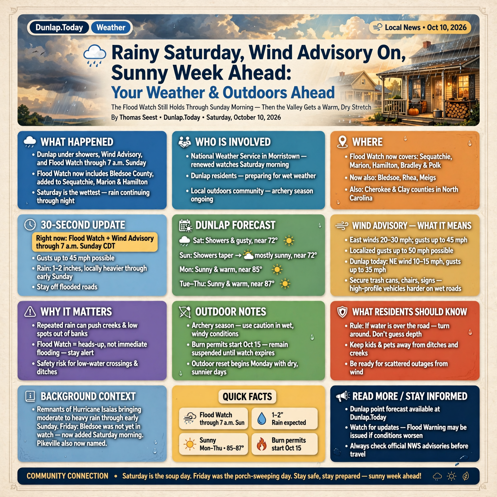
As of Saturday morning, Dunlap is under showers, a Wind Advisory, and a Flood Watch through 7 a.m. Sunday. One quiet change overnight: Bledsoe County is now named in the same Flood Watch that already covered Sequatchie, Marion and Hamilton. The good news sits on the other side of Sunday — Columbus Day through Thursday look sunny and warm in the mid-80s.
Here’s the Saturday update: what’s in effect right now, the day-by-day Dunlap forecast, what the Wind Advisory means at home, outdoor notes on archery season and the Oct. 15 burn-permit start, and a short checklist so you can ride out the wet hours and enjoy the sunny week.
⏱️ What this means for you in 30 seconds
- Right now: Flood Watch and Wind Advisory for Dunlap through 7 a.m. Sunday CDT. Gusts up to 45 mph. Stay off flooded roads.
- Rain: Watch text still expects 1 to 2 inches with locally heavier amounts through early Sunday. Saturday day and night are the wettest hours.
- Sunday: Showers taper; afternoon may turn mostly sunny near 72.
- Monday–Thursday: Sunny and warm — highs near 85 Monday, then around 87 midweek. Outdoor reset.
- The rule: If water is over the road, turn around. Don’t guess the depth.
🚨 What’s In Effect This Morning
The National Weather Service in Morristown renewed its messages Saturday morning. For Dunlap’s point forecast, both the Flood Watch and the Wind Advisory run from now until 7:00 a.m. Sunday Central.
The Flood Watch text (8:10 a.m. CDT Saturday) still covers Sequatchie, Marion, Hamilton, Bradley and Polk, and it now also names Bledsoe, Rhea and Meigs, plus Cherokee and Clay counties in North Carolina. Remnants of Hurricane Isaias are expected to bring moderate to heavy rain through early Sunday, with totals of 1 to 2 inches and locally heavier amounts. Repeated rounds of rain can still push creeks and low spots out of their banks.
Friday’s article noted Bledsoe was not yet in that watch. Saturday morning, Pikeville is named too. Same creek caution either way — the watch just caught up with the map.
What it means for you: A watch is still a heads-up, not a statement that water is already in your driveway. Keep kids and pets away from ditches, skip the low-water crossing, and stay alert for a Flood Warning if one is issued later. Think of it like a pot on the stove: nothing’s boiling yet, but you don’t walk off and forget it.
👉 Read more (Flood Watch text) · Dunlap point forecast
💨 The Wind Advisory Now Names Dunlap
Yesterday the High Wind Watch sat mostly next door in Marion and Hamilton. Overnight that story simplified for us: Sequatchie and Bledsoe are under a Wind Advisory until 7 a.m. Sunday. The advisory calls for east winds 20 to 30 mph with gusts up to 45 mph, and localized gusts up to 50 mph possible. Impacts include unsecured objects blowing around, a few limbs down, and scattered outages.
Dunlap’s Saturday morning forecast matches that: northeast wind 10 to 15 mph with gusts as high as 35 mph today, then gusts up to 30 mph tonight. That’s a tie-down-the-trampoline breeze, not a take-cover wind — but it’s enough to make high-profile vehicles harder to handle on wet roads.
What it means for you: If chairs, trash cans or sidewalk signs are still outside, bring them in now. If the power blinks, Sequachee Valley Electric Cooperative posts outage information online. Don’t go near a downed line, and run any generator outdoors, away from doors and windows.
👉 Read more (Wind Advisory text) · Sequachee Valley Electric Cooperative outages
📅 Dunlap, Day by Day, as of Saturday Morning

The National Weather Service point forecast for Dunlap, updated at 8:41 a.m. Central Saturday, looks like this:
- Today: Showers and possibly a thunderstorm. High near 71. Gusts as high as 35 mph. Rain chance 90%. New rainfall of a half to three-quarters of an inch possible.
- Tonight: Showers and possibly a thunderstorm. Low around 58. Gusts up to 30 mph. Rain chance 100%. Another half to three-quarters of an inch possible.
- Sunday: Chance of showers, mainly tapering. Cloudy becoming mostly sunny, high near 72. Gusts up to 20 mph. Rain chance 50%.
- Sunday night: Partly cloudy, low around 56.
- Monday, Columbus Day: Sunny, high near 85.
- Tuesday–Wednesday: Sunny, highs near 87.
- Thursday: Sunny, high near 85. Friday mostly sunny near 81.
Local Plateau coverage from 3B Media paints the same picture: a wet, windy Saturday, showers easing Sunday, then sunshine and warmer-than-normal highs next week.
What it means for you: Saturday is indoor plans, soup and a puzzle. Sunday afternoon may open a short walk window. Monday through Thursday look like the week to mow, visit the farmers market, take the kids outside, or finish the chore you put off for the rain. Numbers can still shift a little — check once more Sunday evening if you’re locking in Monday plans.
👉 Read more (National Weather Service forecast for Dunlap) · 3B Media weekend outlook
🦌 Outdoor Notes: Wet Woods Today, Burn Permits Wednesday
Statewide archery deer season remains open through Oct. 30, with Young Sportsman weekend Oct. 31–Nov. 1 (TWRA). Sequatchie County is in Deer Management Unit 4. A wet, gusty Saturday is a poor sit — hard on visibility and harder on a safe walk out of the woods — so most hunters will wait for Monday’s sunshine.
On the burn side, the Tennessee Division of Forestry reminds residents that starting Wednesday, Oct. 15, a free burn permit is required statewide to burn leaves, natural debris or conduct prescribed burns (through May 15). Permits are free at BurnSafeTN.org or the MyTN app, issued when conditions are safe. As of this writing there is no statewide burn ban, and TDF’s permit site still says permits are not required until Oct. 15. This weekend’s wind and rain remain the wrong conditions for debris piles anyway.
What it means for you: Skip the leaf pile until a calm, dry day after the storm — and after Oct. 15, get the free permit first. If storm limbs come down, stack them for later; don’t burn them in the wind. Circle Monday for the woods if you’re hunting.
👉 Read more (TWRA deer seasons) · TN burn permit reminder · Burn permit rules
🚧 Creeks, Ditches and the One Driving Rule That Matters
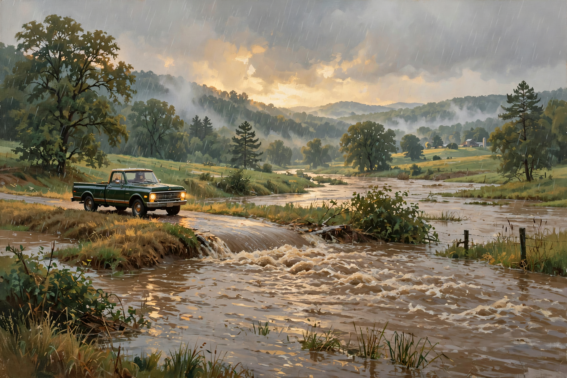
The first hard rain after dry ground can run off fast — hard dirt drinks slowly at first, the way a biscuit soaks gravy. The Flood Watch specifically mentions creeks, streams and low places. The National Weather Service says just 12 inches of moving water can carry away most cars, and 6 inches can knock a person down.
What it means for you: Today is a bad day to “see if you can make it” across a dip in the road. Turn around and use another way, even if it adds 10 minutes. That’s also true for farm paths and creek crossings. If you had outdoor plans Saturday, move them to Monday. The sunny week is the better day for anything that can wait.
👉 Read more (Turn Around, Don’t Drown)
✅ Your Saturday-Through-Monday Checklist
- ✅ Stay home if you can during the heaviest rain. Errands can wait for Sunday afternoon or Monday.
- ✅ If you must drive, slow down for standing water and high-profile vehicles in the gusts.
- ✅ Keep kids and pets away from ditches, culverts and rising creeks.
- ✅ If a limb or trampoline is still loose, secure it now — the Wind Advisory runs through Sunday morning.
- ✅ Charge phones and keep a flashlight where you can find it.
- ✅ Know how you’ll check Sequachee Valley Electric Cooperative outages if the power blinks.
- ✅ Skip debris burning this weekend; mark Oct. 15 for free burn permits.
- ✅ Hunters: treat Saturday as a washout and circle Monday instead.
- ✅ If water covers the road, turn around. No errand is worth it.
Practical rule: Ride out Saturday wet and careful, then use Monday’s sun to catch up outdoors.
— Dunlap.Today
📚 Plain-English Weather Glossary
- Flood Watch: Flooding is possible. It is a heads-up, not a statement that water is already in the road. A Flood Warning means flooding is happening or about to.
- Wind Advisory: Sustained wind or gusts strong enough to move unsecured objects and bring down a few limbs. For Dunlap, gusts up to 45 mph are in the advisory.
- Flash flooding: Water that rises quickly, often within a few hours, in creeks, ditches and low roads.
- Remnants: What’s left after a hurricane moves inland and weakens. For the Valley, that means rain and gusty wind, not a hurricane.
- High Wind Warning: Damaging wind is expected. Near us, stronger mountain warnings remain farther east; Dunlap is in the advisory, not that warning.
- Burn permit season: In Tennessee, a free Division of Forestry permit is required Oct. 15–May 15 to burn leaves or natural debris.
- Turn Around, Don’t Drown: The National Weather Service rule: never drive into water covering a road.
❓ Frequently Asked Questions

Is a hurricane hitting Dunlap today?
No. What we’re getting is rain and gusty wind from the remnants of Isaias. The serious coastal impacts stayed on the Gulf Coast.
Is the Flood Watch still on?
Yes. For Dunlap it runs through 7 a.m. Sunday Central. Sequatchie, Marion, Hamilton, Bledsoe, Rhea, Meigs, Bradley and Polk are named in the Saturday morning Morristown watch.
Did Bledsoe get added?
Yes. Friday’s watch text did not name Bledsoe. Saturday morning’s renewal includes Pikeville and the rest of Bledsoe County. Same rain system either way — the watch just widened.
Are we in a Wind Advisory or a High Wind Watch?
Dunlap is in a Wind Advisory until 7 a.m. Sunday, with gusts up to 45 mph in the advisory text. Stronger High Wind Warnings remain for some mountain zones farther east, not for Sequatchie County.
How much rain should we expect?
The Saturday Flood Watch text still says 1 to 2 inches with locally heavier amounts through early Sunday. Dunlap’s day-by-day forecast shows about a half to three-quarters of an inch possible today and again tonight. Exact totals still depend on where the heaviest bands set up.
Will Monday be good for outdoor plans?
The Saturday morning forecast for Columbus Day shows sunny skies and a high near 85, then sunny mid-80s through Thursday. Schools and events make their own calls — follow your district if anything changes.
Do I need a burn permit this weekend?
The statewide free permit requirement starts Oct. 15. There is no statewide burn ban right now, but this weekend’s wind and rain are poor burning weather. Wait for a calm, dry day, then get the free permit when season starts.
What if the power goes out?
Sequachee Valley Electric Cooperative posts outage information on its website. Keep the fridge closed, keep generators outside and away from the house, and stay clear of downed lines.
🔗 Other Resources

- National Weather Service: Dunlap forecast
- National Weather Service Morristown
- Flood Watch text
- Wind Advisory text
- Flood safety
- Turn Around, Don’t Drown
- Sequachee Valley Electric Cooperative outages
- Tennessee burn permits
- TWRA deer hunting seasons
- National Hurricane Center
- Ready.gov: a simple family plan
🌤️ Ride Out the Rain, Then Enjoy the Sun
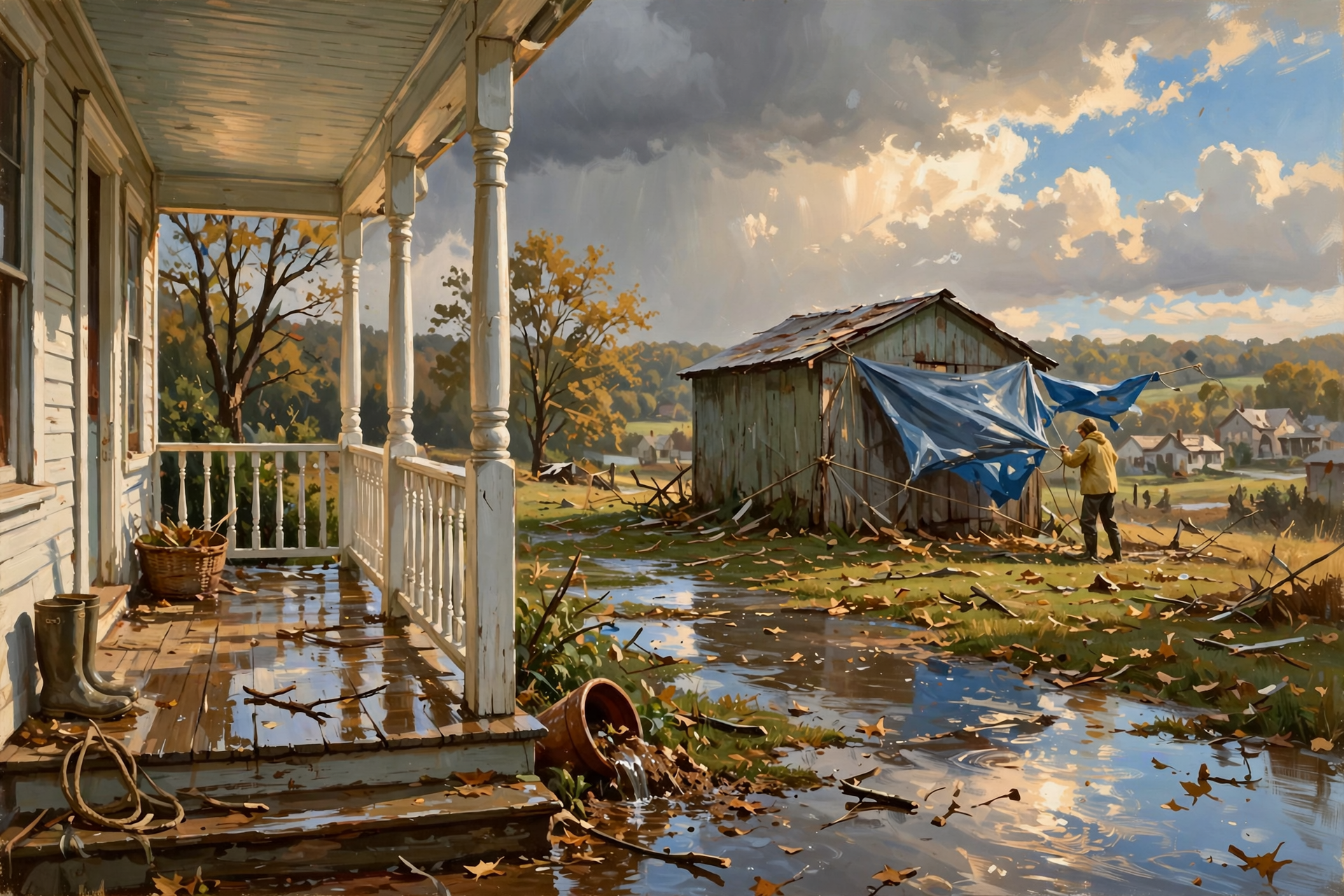
There’s no need to fear this stretch from a Dunlap porch. The hurricane part stayed on the coast. Our job is the ordinary one: stay off flooded roads, give the wind nothing loose to toss, and save outdoor chores for Monday’s bright stretch.
Check on a neighbor who might need a hand with a tarp or a ride, and check the forecast once more Sunday evening. We’ll keep the sky in plain English. Read Dunlap.Today for the next update.




0 Comments