

☀️ Flood Watch Over, Sunny Week Locked In: Your Weather & Outdoors Ahead
Or: The Watches Are Done — Columbus Day Through Thursday Look Bright and Warm
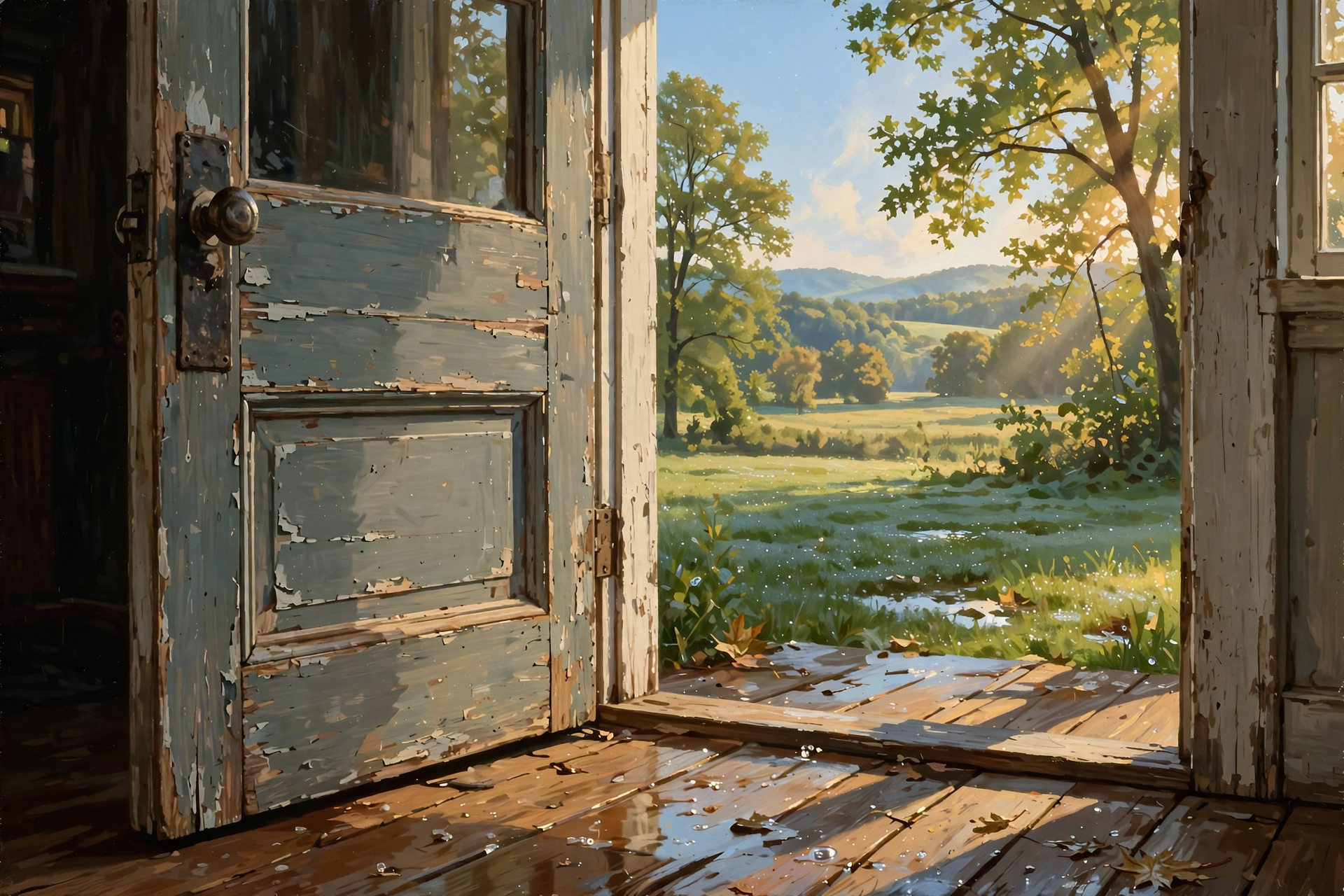
Saturday was the soup day. Sunday is the porch-door day — the one where you crack it open and realize the sky finally settled down.
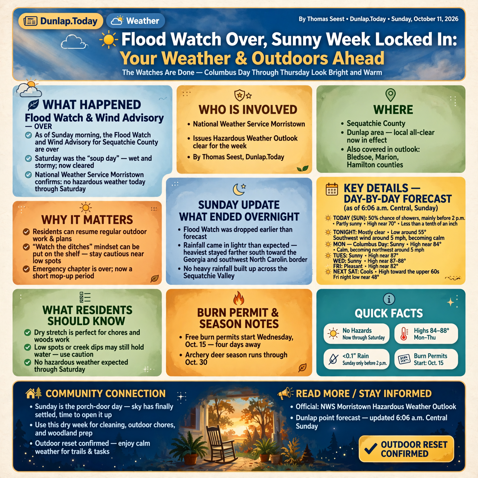
As of Sunday morning, the Flood Watch and Wind Advisory for Sequatchie County are over. National Weather Service Morristown’s Hazardous Weather Outlook says no hazardous weather is expected today through Saturday. A few leftover showers may still sprinkle before 2 p.m., then Columbus Day through Thursday look sunny and warm in the mid-80s.
Here’s the Sunday update: what ended overnight, the day-by-day Dunlap forecast, how to use this dry stretch for chores and the woods, the Oct. 15 burn-permit start four days away, and a short checklist so you can enjoy the reset without rushing.
⏱️ What this means for you in 30 seconds
- Watches: Flood Watch and Wind Advisory for Dunlap/Sequatchie are done. Morristown HWO: no hazardous weather today through Saturday.
- Sunday: 50% chance of showers mainly before 2 p.m. High near 70. Less than a tenth of an inch possible. Tonight mostly clear, low around 55.
- Monday–Thursday: Sunny and warm — highs near 84 Columbus Day, then 87–88 midweek. Outdoor reset confirmed.
- Friday–Saturday: Still pleasant Friday near 82; next Saturday cools toward the upper 60s, with Friday night dipping near 48.
- Remember: Free burn permits start Wednesday, Oct. 15. Archery deer season runs through Oct. 30.
✅ The Watches Are Over — Here’s What Changed

Yesterday morning Dunlap sat under a Flood Watch and a Wind Advisory through 7 a.m. Sunday. Overnight that chapter closed. The National Weather Service Morristown discussion from Saturday evening said the Flood Watch was dropped earlier than forecast because rainfall rates and totals came in lighter than feared. Heaviest amounts stayed farther south toward the Georgia and southwest North Carolina border, not piled up across the Sequatchie Valley.
Sunday’s Hazardous Weather Outlook (issued late Saturday night) covers Sequatchie, Bledsoe, Marion, Hamilton and the rest of the east Tennessee map — and it says plainly: no hazardous weather expected today or through Saturday. Spotter activation is not needed.
Any Flood Watch text still floating around online for western North Carolina or Southwest Virginia is a different office and a different map. For Dunlap’s porch, the local all-clear is the one that matters.
What it means for you: You can put the “watch the ditches” mindset back on the shelf — but keep ordinary sense. After a wet weekend, a low spot can still hold water for a while, the way a biscuit holds gravy after the plate looks dry. If a farm path or creek dip still looks sketchy, turn around. The emergency chapter is over; the mop-up chapter is short.
👉 Read more (Morristown Hazardous Weather Outlook) · Dunlap point forecast
📅 Dunlap, Day by Day, as of Sunday Morning

The National Weather Service point forecast for Dunlap, last updated at 6:06 a.m. Central Sunday, looks like this:
- Today: 50% chance of showers, mainly before 2 p.m. Partly sunny, high near 70. West wind 5 to 10 mph, gusts up to 20. New rain of less than a tenth of an inch possible.
- Tonight: Mostly clear, low around 55. Southwest wind around 5 mph becoming calm.
- Monday, Columbus Day: Sunny, high near 84. Calm becoming northwest around 5 mph.
- Tuesday: Sunny, high near 87.
- Wednesday: Sunny, high near 88.
- Thursday: Sunny, high near 87.
- Friday: Sunny, high near 82. Friday night partly cloudy, low around 48.
- Next Saturday: Mostly sunny, high near 67 — the cool-down arrives.
NWS Morristown’s Sunday morning message matches: scattered leftover showers today, then dry and warm through the heart of the week.
What it means for you: If church or family plans need a dry window, afternoon looks better than morning. Monday through Thursday is the chore week you’ve been waiting for — mow, stack storm limbs, visit the farmers market, take the kids outside, or finish the fence job the rain interrupted. Circle Friday evening for a sweater on the porch; that near-48 low is the first real cool night of this stretch.
👉 Read more (National Weather Service forecast for Dunlap) · NWS Morristown
🛠️ Outdoor Reset: Chores, Woods and a Warm Week
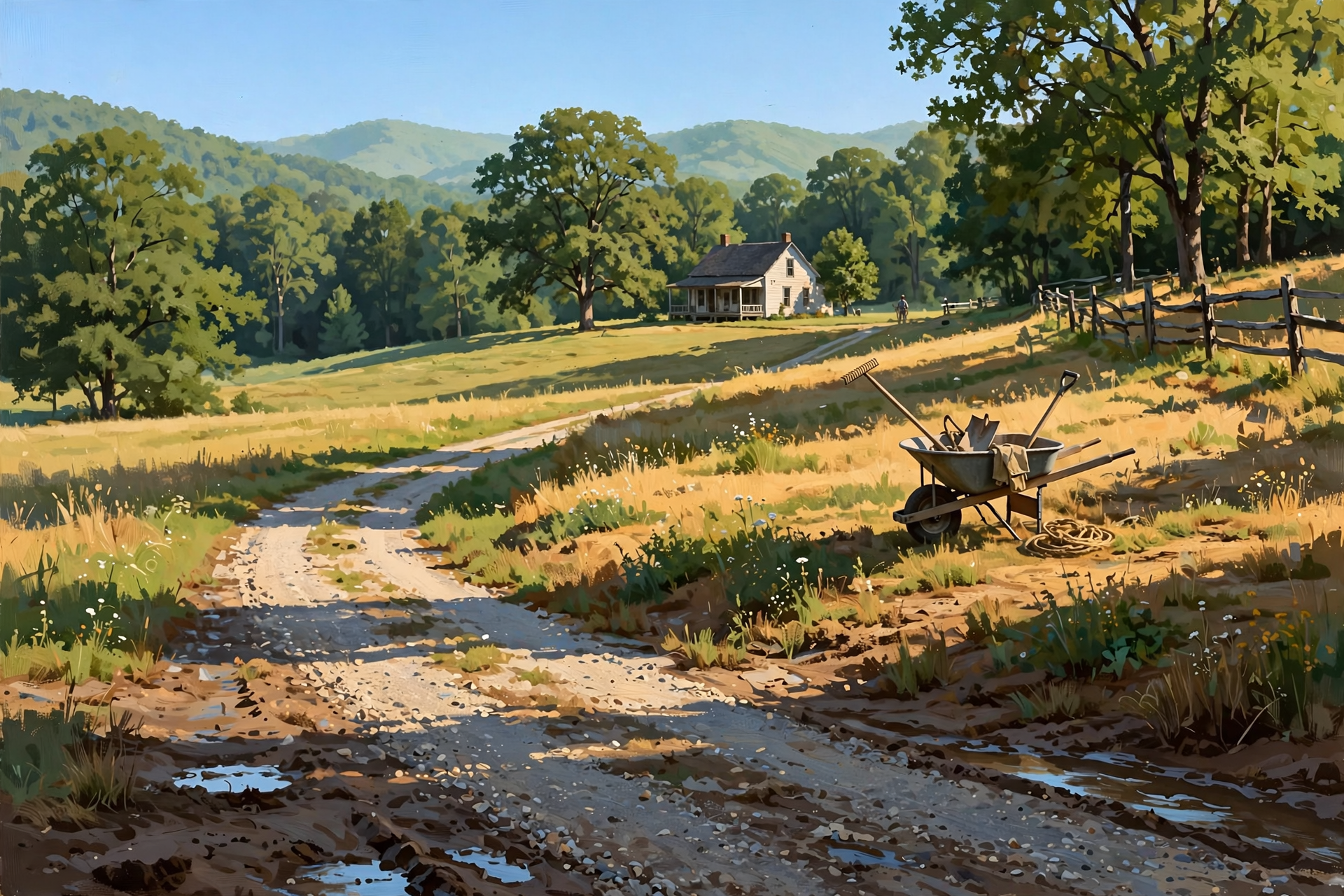
Think of this week like a washer finishing its cycle — the spin is done, and now you get to hang the clothes in the sun. Ground will still be soft in low spots after Saturday’s rain, so give muddy lanes an extra day if the tractor would tear them up. Higher ground and gravel paths should be ready Monday.
Statewide archery deer season remains open through Oct. 30, with Young Sportsman weekend Oct. 31–Nov. 1 (TWRA). Sequatchie County sits in Deer Management Unit 4. Fall turkey archery runs on the same early window, with shotgun/archery turkey opening Oct. 17 in open counties. A sunny mid-80s week is a far better sit than Saturday’s gusty washout — just check landowner permission and your licenses before you go.
What it means for you: Put the big outdoor list on Monday through Thursday while highs sit in the mid-80s. Save anything that needs cooler air (sealing the shed, stacking firewood for later) for next weekend’s cool-down. Hunters: the woods should be quieter and easier after the wind laid down.
👉 Read more (TWRA deer seasons) · TWRA archery season reminder
🔥 Burn Permits Start Wednesday — Four Days to Get Ready

The Tennessee Division of Forestry reminds residents that starting Wednesday, Oct. 15, a free burn permit is required statewide to burn leaves, natural debris or conduct prescribed burns (through May 15). Permits are free at BurnSafeTN.org or the MyTN app, issued only when conditions are safe. You get the permit on the day you plan to burn; the fire must be out before the permit expires.
As of this writing there is no statewide burn ban, and permits are not required until Oct. 15. This sunny week is perfect for stacking storm limbs and leaf piles — just don’t light them before Wednesday, and don’t light them on a windy afternoon even after permits open.
What it means for you: Use Monday and Tuesday to rake and stack. Wednesday morning, pull the free permit online before you strike a match. Stay with the fire until it’s cold out, keep water nearby, and check whether Dunlap or Sequatchie County has any local rules on top of the state permit. Burning trash remains illegal year-round.
👉 Read more (TN burn permit rules) · TN burn permit season reminder
💧 One Soft Reminder After a Wet Weekend
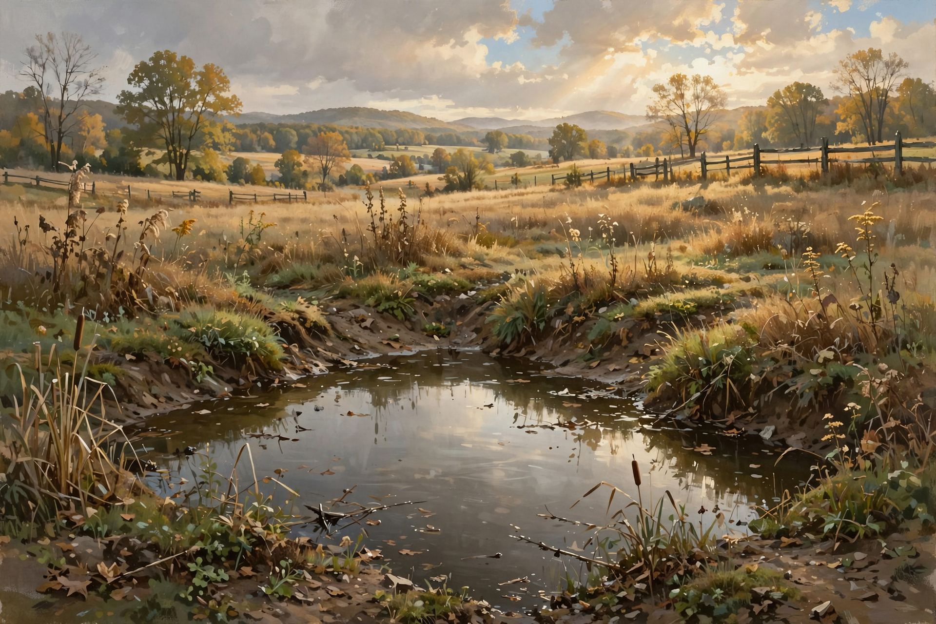
Even with the Flood Watch gone, Saturday’s rain can leave a puddle that looks shallow and isn’t. The National Weather Service still teaches the same rule: Turn Around, Don’t Drown. Six inches of moving water can knock a person down; a foot can float many cars.
What it means for you: If a familiar dip still holds water this morning, take the long way. By Monday’s sun that spot will likely be back to normal. No need to fear the week — just finish the last bit of caution the way you’d wipe the last crumb off the counter before company comes.
👉 Read more (Turn Around, Don’t Drown)
✅ Your Sunday-Through-Wednesday Checklist

- ✅ Enjoy the all-clear — Flood Watch and Wind Advisory for Sequatchie are over.
- ✅ If showers linger before 2 p.m., keep outdoor plans flexible until afternoon.
- ✅ Lock in Monday–Thursday for mowing, limb stacking, market trips and porch time.
- ✅ Hunters: circle the sunny midweek window; archery runs through Oct. 30.
- ✅ Stack leaf and limb piles now; wait until Oct. 15 for a free burn permit before lighting.
- ✅ Check BurnSafeTN.org or the MyTN app Wednesday morning if you plan to burn that day.
- ✅ Note Friday night’s cool-down near 48 — pull a light jacket for evening porch sitters.
- ✅ If a low road still holds water, turn around. The watch is over; ordinary sense stays.
- ✅ Check on a neighbor who may need help with a tarp, a limb or a ride to town.
Practical rule: The storm chapter is closed — use the sunny week to catch up outdoors, and get your free burn permit before you light anything on or after Oct. 15.
— Dunlap.Today
📚 Plain-English Weather Glossary

- Flood Watch: Flooding is possible. It is a heads-up, not a statement that water is already in the road. Dunlap’s watch for this weekend has ended.
- Wind Advisory: Sustained wind or gusts strong enough to move unsecured objects and bring down a few limbs. Sequatchie’s advisory for this weekend has ended.
- Hazardous Weather Outlook (HWO): The National Weather Service daily summary of whether any watches, warnings or advisories are expected. Sunday’s Morristown HWO says none through Saturday.
- Remnants: What’s left after a hurricane moves inland and weakens. For the Valley this weekend that meant rain and gusty wind, not a hurricane at the coast.
- Burn permit season: In Tennessee, a free Division of Forestry permit is required Oct. 15–May 15 to burn leaves or natural debris.
- Archery season: The TWRA white-tailed deer season that allows bow hunting; statewide early segment runs through Oct. 30 this year.
- Turn Around, Don’t Drown: The National Weather Service rule: never drive into water covering a road.
❓ Frequently Asked Questions

Is the Flood Watch still on for Dunlap?
No. The Flood Watch that covered Sequatchie through 7 a.m. Sunday Central is over. NWS Morristown dropped it earlier than first expected because rainfall was lighter than feared. Sunday’s Hazardous Weather Outlook lists no hazardous weather for Sequatchie today through Saturday.
Is the Wind Advisory still up?
No. The Wind Advisory for Sequatchie and neighboring counties that ran through 7 a.m. Sunday Central has ended. Gusty mountain warnings farther east were a separate story and do not apply to Dunlap’s Sunday outlook.
Will it keep raining all day Sunday?
Probably not. The Sunday morning Dunlap forecast shows a 50% chance of showers mainly before 2 p.m., with less than a tenth of an inch possible, then mostly clear tonight.
How warm will Columbus Day week be?
Sunny skies and highs near 84 Monday, then sunny mid-80s Tuesday through Thursday (near 87–88). Friday near 82. Next Saturday cools toward the upper 60s.
Do I need a burn permit today?
Not for the state Division of Forestry permit — that requirement starts Oct. 15. There is no statewide burn ban right now. Still check local city or county rules, and wait for a calm day. Stack piles this week; light after you have Wednesday’s free permit.
Is archery season still open?
Yes. TWRA archery deer season runs through Oct. 30, then Young Sportsman weekend Oct. 31–Nov. 1, with another short archery segment Nov. 2–6. Sequatchie County is in Unit 4. Always confirm licenses and landowner permission.
What if we still have standing water on a farm road?
Treat it with ordinary caution even though the Flood Watch is over. If you can’t see the bottom or the water is moving, turn around. Sunshine Monday through Thursday should dry most low spots quickly.
What if the power blinks later this week?
Unlikely with the quiet forecast, but Sequachee Valley Electric Cooperative still posts outage information online. Keep generators outdoors and away from doors and windows.
🔗 Other Resources

- National Weather Service: Dunlap forecast
- National Weather Service Morristown
- Morristown Hazardous Weather Outlook
- Flood safety
- Turn Around, Don’t Drown
- Sequachee Valley Electric Cooperative outages
- Tennessee burn permits
- TN burn permit season reminder
- TWRA deer hunting seasons
- Ready.gov: a simple family plan
🌤️ Enjoy the Reset — Then Watch for Oct. 15

There’s no need to fear this stretch from a Dunlap porch. The hurricane chapter stayed on the coast, the watches are done, and the Valley gets the sunny week it was promised. Our job is the ordinary good one: catch up on chores, check on a neighbor, and get the free burn permit before any leaf pile becomes a fire.
Check the forecast once more Wednesday morning if you’re lighting debris, and keep reading for the next sky update. Read Dunlap.Today for calm, practical weather in plain English.




0 Comments