
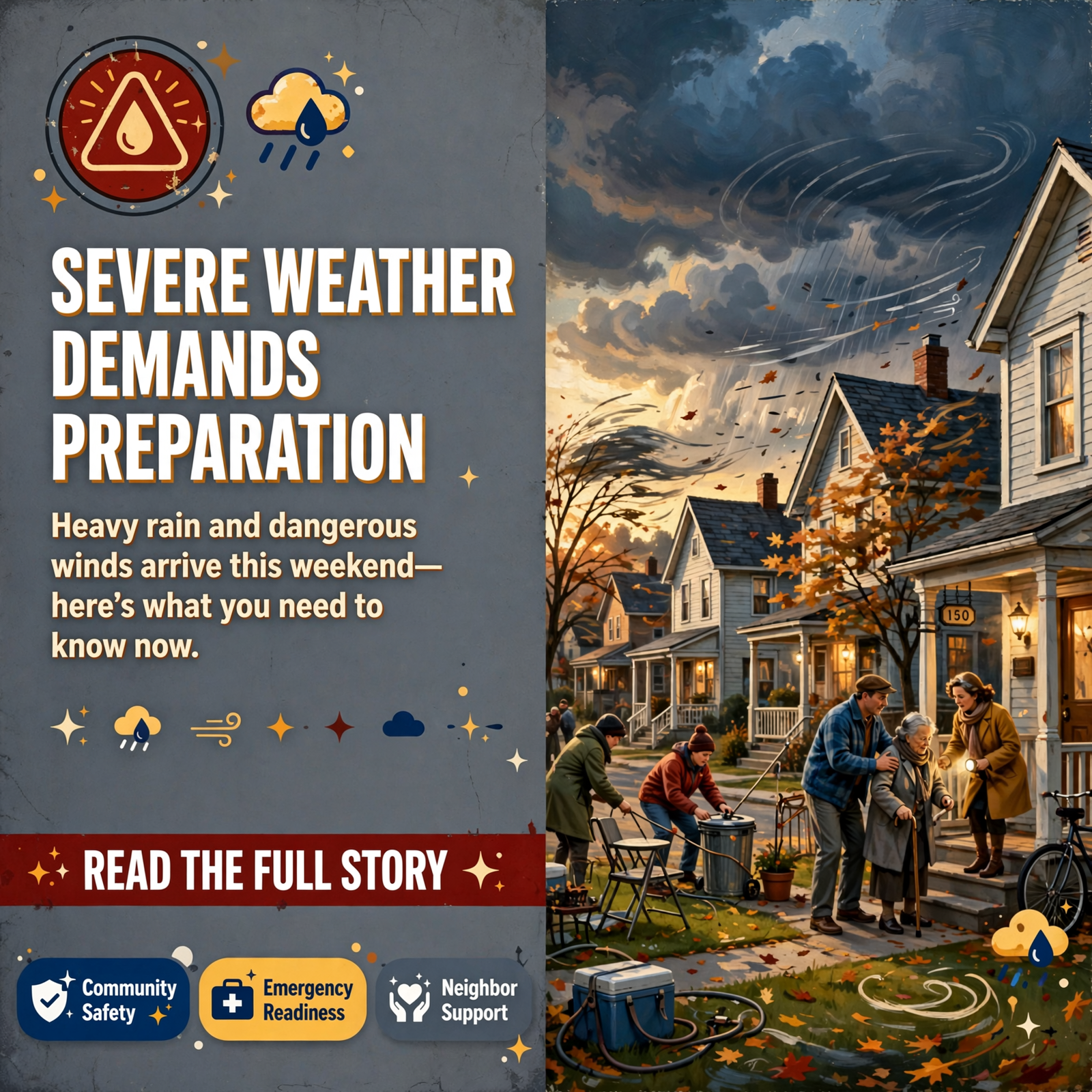
⚠️ Flood Watch Alert: Middle Tennessee Braces for Heavy Rain and Gusty Winds This Weekend
Middle Tennessee residents across Warren County and surrounding areas are being urged to prepare for significant weather this weekend as the remnants of Hurricane Isaias move inland. The National Weather Service has issued a Flood Watch affecting multiple counties in the region, with the heaviest rainfall expected Saturday through Sunday morning.
📍 What to Expect
The National Weather Service is forecasting around 1-3 inches of rain across Middle Tennessee, with locally heavier amounts possible in some areas. Wind gusts are expected to reach up to 40 mph, and flooding is anticipated in creeks, streams, low-lying areas, and locations with a history of water accumulation. The Flood Watch remains in effect from late Friday night through Sunday morning, with Saturday and Saturday night expected to bring the most intense rainfall. 🌧️
💡 Why This Matters
For residents across Middle Tennessee and nearby communities, this weather event carries real risks to property, safety, and daily life. Flooding can damage homes, wash out roads, and create dangerous conditions for drivers and pedestrians. Families with elderly members, those living in flood-prone areas, and anyone with outdoor property or livestock should take this alert seriously. Even small amounts of moving water can sweep vehicles off roads or carry debris with dangerous force.
🏘️ Community Connections
Weather events like this often bring neighbors together. Community members checking on elderly neighbors, sharing supplies, or offering shelter during and after the storm strengthen local bonds. Churches, civic organizations, and local businesses often become gathering points for residents seeking information or assistance. This is an opportunity for community members to reach out to those who may be isolated, elderly, or in need of support during the event.
👥 Human Impact
The real impact of this weather will be felt by families preparing their homes, farmers protecting livestock and equipment, and business owners securing outdoor assets. Parents may need to adjust weekend plans, and those with outdoor work or activities will face disruption. Residents in flood-prone neighborhoods may experience anxiety about potential damage. At the same time, this event tests community resilience-how neighbors help neighbors, how local services respond, and how quickly the community recovers together. ❤️
🗓️ What Residents Should Know
Here are the key preparation steps recommended by the National Weather Service:
- Avoid flooded roads: Do not drive through standing water or flooded roadways. Even shallow moving water can sweep a vehicle away.
- Stay away from fast-rising water: Creeks and streams can rise rapidly and unexpectedly during heavy rain.
- Secure outdoor items: Bring in or tie down anything that could be blown away by 40 mph winds-trash cans, lawn furniture, decorations, and loose branches.
- Keep communication ready: Charge phones and enable weather alerts so you receive updates as conditions change.
- Check on vulnerable neighbors: Elderly residents, those living alone, or anyone with mobility challenges may need assistance preparing or sheltering.
- Monitor official updates: Conditions may change, so continue checking the National Weather Service and local emergency management for the latest forecasts.
📢 What Happens Next
The Flood Watch will remain active through Sunday morning. Residents should monitor weather updates throughout Friday and Saturday, as the National Weather Service may issue additional warnings or updates based on how the storm develops. After the rain passes, communities may need to assess damage, clear debris from roads and waterways, and support neighbors with recovery efforts. Local emergency management and utility companies will likely be active during and after the event, so residents should follow their guidance and avoid driving through affected areas.
🌍 Long-Term Community Perspective
Weather events like this remind Middle Tennessee communities of the importance of preparedness and mutual support. For residents in flood-prone areas, this may prompt conversations about long-term drainage improvements, property protection, or relocation. For local government and emergency services, it reinforces the need for clear communication channels, updated flood maps, and community education. For families, it’s a chance to review emergency plans, stock supplies, and know where to go if evacuation becomes necessary. These events also highlight the value of strong community networks-the relationships and trust that allow neighbors to help neighbors when weather strikes.
💭 Questions for Community Reflection
- Do you know the safest route out of your neighborhood if flooding occurs, and have you discussed it with your family?
- Are there elderly neighbors or community members who may need help preparing for or sheltering during the storm?
- Does your workplace or business have a plan for securing equipment and resuming operations after weather events?
- How can your church, civic group, or neighborhood association help coordinate community support during and after the storm?
- What lessons from past weather events in Middle Tennessee should guide your preparation this time?
Remember the National Weather Service’s critical safety message: Turn Around, Don’t Drown. Even a small amount of moving water can be dangerous. Stay weather-aware, prepare now, and help spread this alert to others in your community. 🙏



0 Comments