
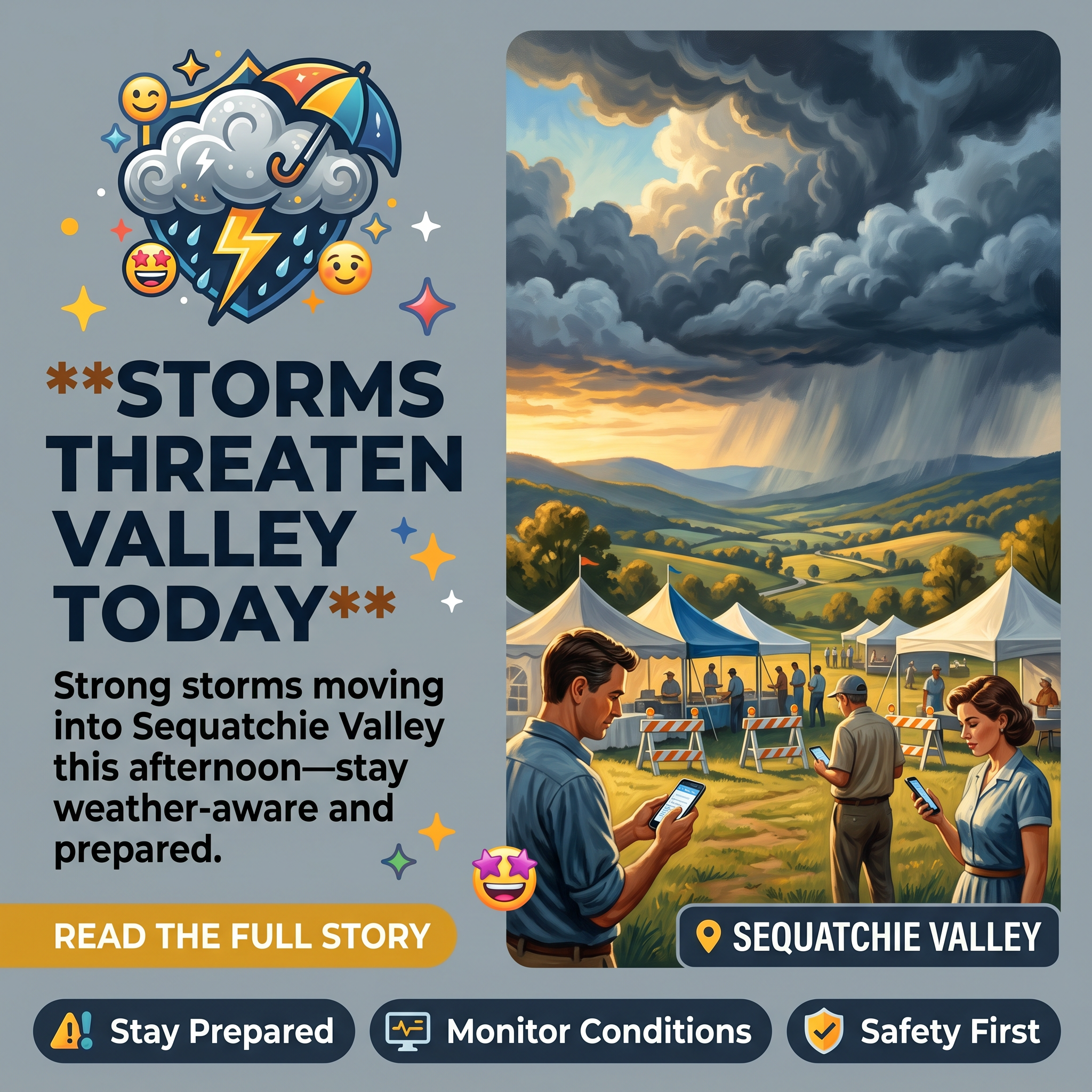
⛈️ Strong to Severe Storms Expected in Sequatchie Valley Today — Locally Heavy Rain and Wind Gusts Possible
Residents across the Sequatchie Valley are being urged to monitor weather conditions closely as a system moves through Middle Tennessee this afternoon and evening. 🌦️ With outdoor events like Bonnaroo and Nightfall happening across the region, meteorologists are emphasizing preparedness for what could be an active weather day.
A broken line of storms is moving into the Nashville area and Middle Tennessee this morning, with the potential to reach the Sequatchie Valley during late morning through early-to-mid afternoon. ⏰ According to Chase Bryant Weather, the first wave of storms is expected to gradually move southeast throughout the day, though significant uncertainty remains about storm timing and intensity.
The primary threats associated with today’s storms include locally heavy rainfall, strong wind gusts, and frequent lightning. 💨 Meteorologists emphasize they are not expecting tornadoes or large hail, and note that the overall severe risk is marginal to slight—meaning residents should stay prepared but not panic. Those living in mobile or manufactured homes can take reassurance that straightline wind damage is not anticipated to be a major concern unless individual storms become particularly intense.
A critical factor today will be where the outflow boundary from the first wave of storms sets up, as this will determine which areas have the best chance of seeing storms during the late afternoon and evening. 📍 Not everyone in the region will experience severe weather; some areas may stay entirely dry while others see scattered thunderstorms with gusty conditions.
Anyone planning outdoor activities or attending regional events today should keep a close eye on radar and sky conditions. ⚡ If thunder is heard, the recommendation is to move indoors immediately. All outdoor events should have lightning and storm safety plans ready to activate if necessary. Additionally, with another hot and humid day expected, residents are advised to stay hydrated and take regular breaks when spending time outside.
Weather updates will be posted throughout the day and into the evening as conditions develop. 📢 Residents are encouraged to monitor local weather sources for the latest information on storm timing and intensity.
Source: Chase Bryant Weather – Weather Update on the Potential for Strong to Severe Storms later today. A lot to watch. Details⬇️
Related Businesses
Chase Bryant Weather
Chase Bryant Weather is the source cited in the article for the severe storm forecast and weather updates for the Sequatchie Valley.
Erlanger Sequatchie Valley Emergency Department
Emergency department serves as critical healthcare resource for residents during severe weather events and storm-related injuries.
Sequatchie Valley Lodge
Lodging facility in the Sequatchie Valley that would need to implement storm safety plans for guests during severe weather events.
Bigfoot Adventure Tennessee Zipline
Outdoor recreation venue in the region that must have lightning and storm safety protocols ready for outdoor activities mentioned in the article.
Tranquil Winds Getaway
Event venue and outdoor camping facility that needs to activate storm safety plans for guests during severe weather conditions.
Chamber of Commerce of Dunlap
Local business organization that coordinates community preparedness and can communicate weather alerts to regional businesses and outdoor events.




0 Comments