
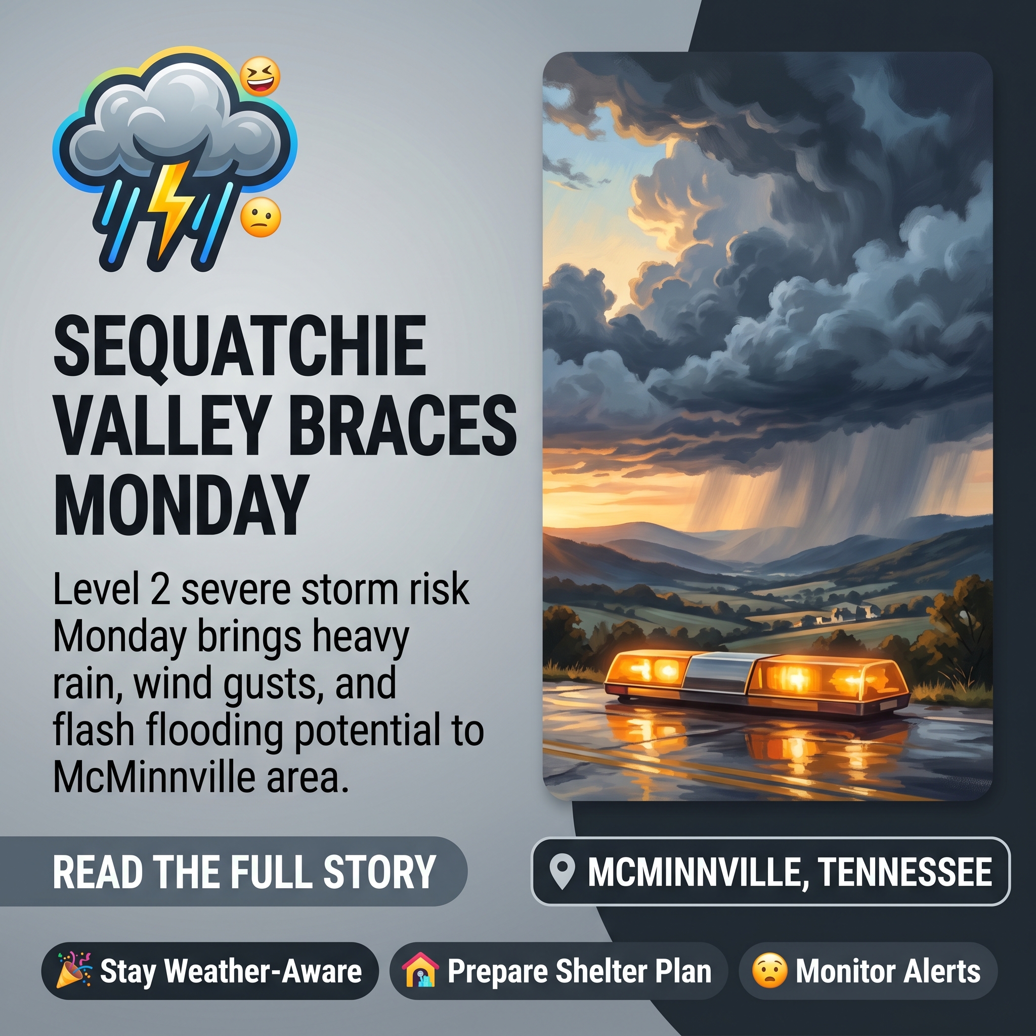
⛈️ Sequatchie Valley Under Level 2 Severe Storm Risk Monday, June 22 — Heavy Rain and Wind Gusts Expected
As summer weather patterns intensify across the region, the Sequatchie Valley is joining a broader swath of Middle Tennessee and the Tennessee Valley under an upgraded severe weather alert for Monday. 🌧️ This marks another active stretch for the area, which has already experienced several significant storm systems this season.
Forecasters have elevated the entire Sequatchie Valley region to a Level 2 “Slight Risk” for strong to severe storms on Monday, June 22, according to a weather update from Chase Bryant Weather. 📍 A storm complex currently forming across the Ohio Valley is expected to move southward overnight and into Monday morning, potentially weakening as it enters the region—though the morning’s weather pattern will significantly influence afternoon and evening storm development.
🌩️ Primary Threats and Timeline
Heavy downpours, lightning, and strong wind gusts represent the main hazards residents should prepare for between 5 a.m. and midnight on Monday. ⚡ Localized flash flooding is also possible, particularly if storms stall or train over the same areas. Forecasters note that multiple waves of storms could move through the valley on and off throughout the day, making precise timing difficult to predict.
Morning rainfall could help reduce atmospheric energy for later storms, but if sunshine breaks through and warms the region, additional afternoon and evening storm development becomes more likely. 🌤️ The wide timeframe reflects the uncertainty inherent in predicting complex storm systems with multiple potential rounds of activity.
🌪️ Tornado Risk Remains Low
While a marginal 2–4% tornado risk exists across the region, forecasters emphasize that the primary concerns remain wind, rain, and lightning rather than rotational activity. 📊 The tornado probability is described as very low—comparable, as one meteorologist humorously noted, to navigating Chattanooga’s interstate system without encountering traffic on a Friday afternoon.
💡 What Residents Should Do
Residents are urged to stay weather-aware throughout Monday and heed any warnings issued by local authorities. 📢 Those with outdoor plans should be prepared to move indoors when thunder begins. Keeping a weather radio or smartphone alert enabled and having a safe shelter plan in place are recommended precautions for the day ahead.
Source: Chase Bryant Weather – Monday Storm Update Things have changed a little regarding Monday. Our entire area has been bumped up to a slight risk for strong to severe storms on Monday…
Related Businesses
Chase Bryant Weather
Chase Bryant Weather is the direct source cited in the article for the severe weather forecast and Level 2 Slight Risk alert for Monday, June 22.
Sequatchie County Rescue Squad
Emergency response organization that residents should contact or coordinate with during severe weather events involving heavy rain, flooding, and wind hazards.
Erlanger Sequatchie Valley Emergency Department
Critical healthcare facility serving the region that residents may need to access in case of weather-related injuries or emergencies during the severe storm event.
Sequatchie County Sheriff’s Department
Law enforcement agency responsible for issuing local warnings and coordinating emergency response during severe weather events affecting the Sequatchie Valley.
Country Roads 93.3 FM (WSDQ)
Local radio station providing 24-hour news and community information that residents can use to receive real-time weather alerts and updates during the severe storm.
Sequatchie Valley Now
Local news outlet serving the Sequatchie Valley area that provides weather updates and emergency information to residents during severe weather events.
Other Stories
- Father’s Day Weather Update for Sequatchie Valley — Sunny Today, Stormy Monday Ahead ☀️
- 🍗 Pollo Asado and Father’s Day Special at Tienda y Fruteria Gomez in Soddy Daisy, TN
- Country Boys LaserEngraving Celebrates Customer Support in Sequatchie Valley 🎯
- 📚 Lewis Chapel Little Free Library Sees Strong Community Turnout in Sequatchie Valley
- 🔧 A&L Plumbing Launches Licensed Services Across Van Buren County — Free Estimates Available
- Professional Chattanooga Networking Group Launches Weekly Virtual Meetings 🤝
- Rolling Oak Distillery in Dunlap , TN — Nation’s 4th Largest Moonshine Producer & Pizzeria 🥃




0 Comments