
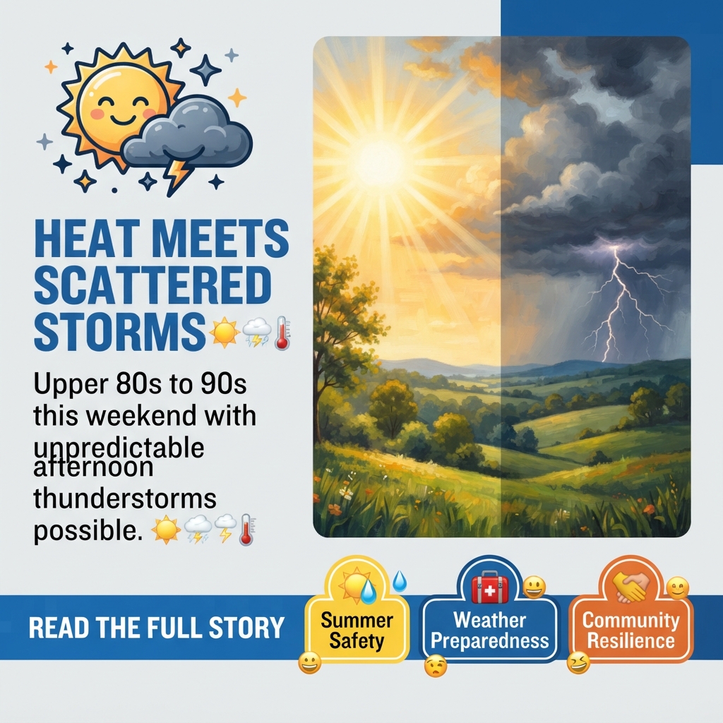
☀️ Hot, Humid Weekend Ahead With Scattered Storms Possible Across the Tennessee Valley
As summer heat settles over the Sequatchie Valley and surrounding tri-state region, residents should prepare for typical July weather patterns—intense heat paired with unpredictable afternoon thunderstorms that could bring heavy rain to some neighborhoods while leaving others dry.
🌡️ What to Expect This Weekend
Saturday and Sunday will bring upper 80s to low 90s temperatures under a mix of sun and clouds. While the heat itself is typical for mid-July, the real wildcard is the chance for spotty to scattered rain and storms, primarily during afternoon and evening hours. Morning storms are also possible, though less likely. The good news: the risk of strong or severe storms remains low, with strong wind being the primary threat if storms do develop. 📍
One important detail for residents: where storms do form, locally heavy rainfall is likely. However, forecasters cannot predict exactly when or where these storms will pop up until they develop. This means some neighborhoods in the valley may see significant rain while others nearby experience little to nothing—a common frustration during summer months when rain distribution is highly scattered.
📅 Looking Ahead to Next Week
The first half of the week will continue the hot and humid pattern with isolated to spotty afternoon and evening rain chances and highs in the upper 80s to low 90s. However, relief may be on the horizon: Thursday and Friday of next week are expected to bring a brief pattern change with drier air, lower humidity, and slightly cooler highs in the 80s. ✨
💡 What Residents Should Know
Plan outdoor activities with flexibility: If you’re scheduling weekend plans—yard work, outdoor events, or family activities—consider the afternoon and evening storm risk. Morning hours may be your safest bet for outdoor time.
Monitor local forecasts: Because storm timing and location are unpredictable, checking weather updates throughout the day can help you adjust plans as conditions develop.
Prepare for sudden heavy rain: If storms do develop near your location, locally heavy rainfall is possible. Ensure gutters and drainage areas are clear, and be cautious if driving during heavy downpours.
Stay hydrated: Upper 80s to low 90s with high humidity means heat stress is a real concern. Drink plenty of water, take breaks in air conditioning, and check on neighbors, especially older adults and those with health conditions sensitive to heat. 💧
🤔 Questions Worth Considering
As summer weather patterns continue to shift and become more unpredictable, residents might reflect on a few questions:
- How prepared is your household for sudden severe weather—do you have a plan if storms bring heavy rain or strong winds?
- Are local drainage systems and community infrastructure adequate for the intense, localized rainfall that summer storms can produce?
- How do variable weather patterns affect local agriculture, outdoor businesses, and community events throughout the valley?
- What resources are available in your neighborhood for residents who may be vulnerable to heat stress during extended hot spells?
🌤️ The Bigger Picture
While this weekend’s forecast is fairly routine for July in the Tennessee Valley, the unpredictability of afternoon and evening storms reflects a broader reality of summer weather in the region. Residents who have lived in the area for years know the pattern well: some days bring relief from scattered showers, while other days the storms miss entirely. This variability affects everything from lawn care schedules to outdoor event planning to water availability for gardens and livestock.
The brief drier pattern expected Thursday and Friday next week offers a reminder that weather patterns do shift, even within a single week. For those managing farms, gardens, or outdoor businesses, these windows of drier, less humid conditions can be valuable for getting work done or hosting outdoor activities.



0 Comments