

☀️ Seven Sunny Days and Not a Drop of Rain: What Dunlap's Dry Week Means for Bus Stops, Ponds and Burn Piles
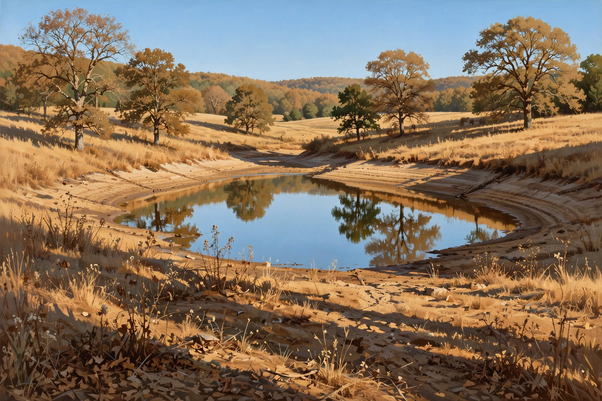
Or: One More Frosty Night on the Plateau, Highs in the 70s All Week, Sequatchie County Still in Moderate Drought, and Clocks Fall Back Nov. 1
By Thomas Seest, Dunlap.Today · Sunday, October 18, 2026
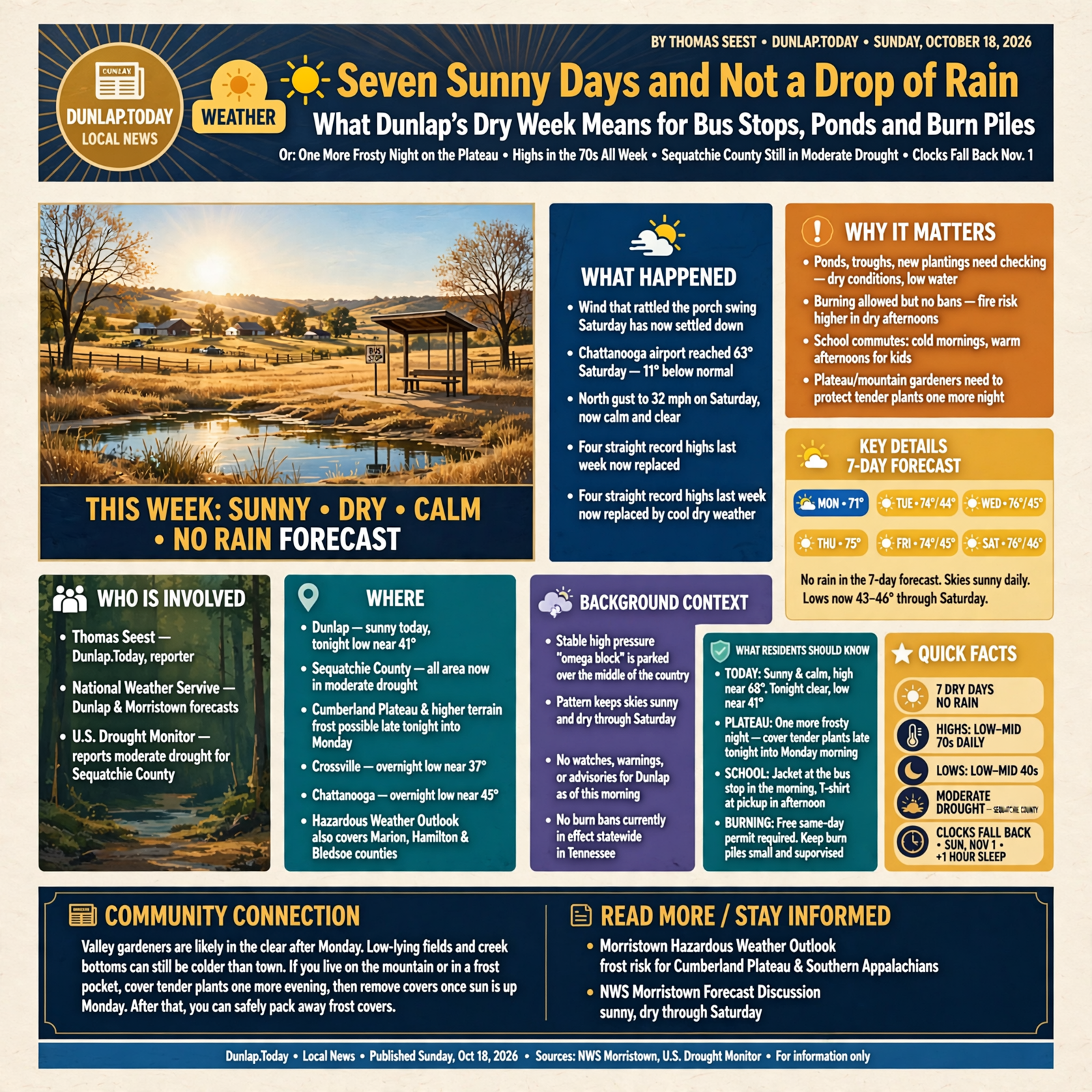
The wind that rattled the porch swing Saturday has finally settled down. Chattanooga’s airport topped out at just 63 degrees Saturday, 11 below normal, with a north gust to 32 mph. That’s quite a turn after four straight record highs last week. This morning, the National Weather Service forecast for Dunlap calls for a sunny, calm Sunday near 68 and a clear night near 41.
Here’s what’s new for the week ahead. Morristown’s forecasters expect areas of frost one more time late tonight into Monday morning, mainly on the Cumberland Plateau and in higher country. After that, the sky goes on autopilot, like a tractor running a long, straight row: sunny every day through Saturday, highs in the low to mid 70s and lows in the low to mid 40s. The flip side is that no rain is in the forecast, and the latest U.S. Drought Monitor shows all of Sequatchie County in moderate drought. There are still no burn bans in Tennessee. And mark your calendar: clocks fall back one hour on Sunday, Nov. 1, two weeks from today. As of this morning there were no watches, warnings or advisories for Dunlap.
⏱️ What this means for you in 30 seconds
- Today: Sunny and calm, high near 68. Tonight clear, near 41. Plateau folks, cover tender plants one more night.
- This week: Sunny every day. Highs 71, 74, 76, 75, 74, 76 (Monday through Saturday); lows 43 to 46.
- School mornings: Jacket at the bus stop, T-shirt at pickup. Mornings in the 40s, afternoons in the 70s.
- Dry spell: No rain in the 7-day forecast. Check ponds, troughs and new plantings.
- Burning: No bans, but a free same-day permit is required. Afternoons are dry, so keep piles small.
- Remember: Clocks fall back Sunday, Nov. 1. Extra hour of sleep, darker evenings.
🥶 Last Frosty Night for a While: Plateau Cold Spots One More Time
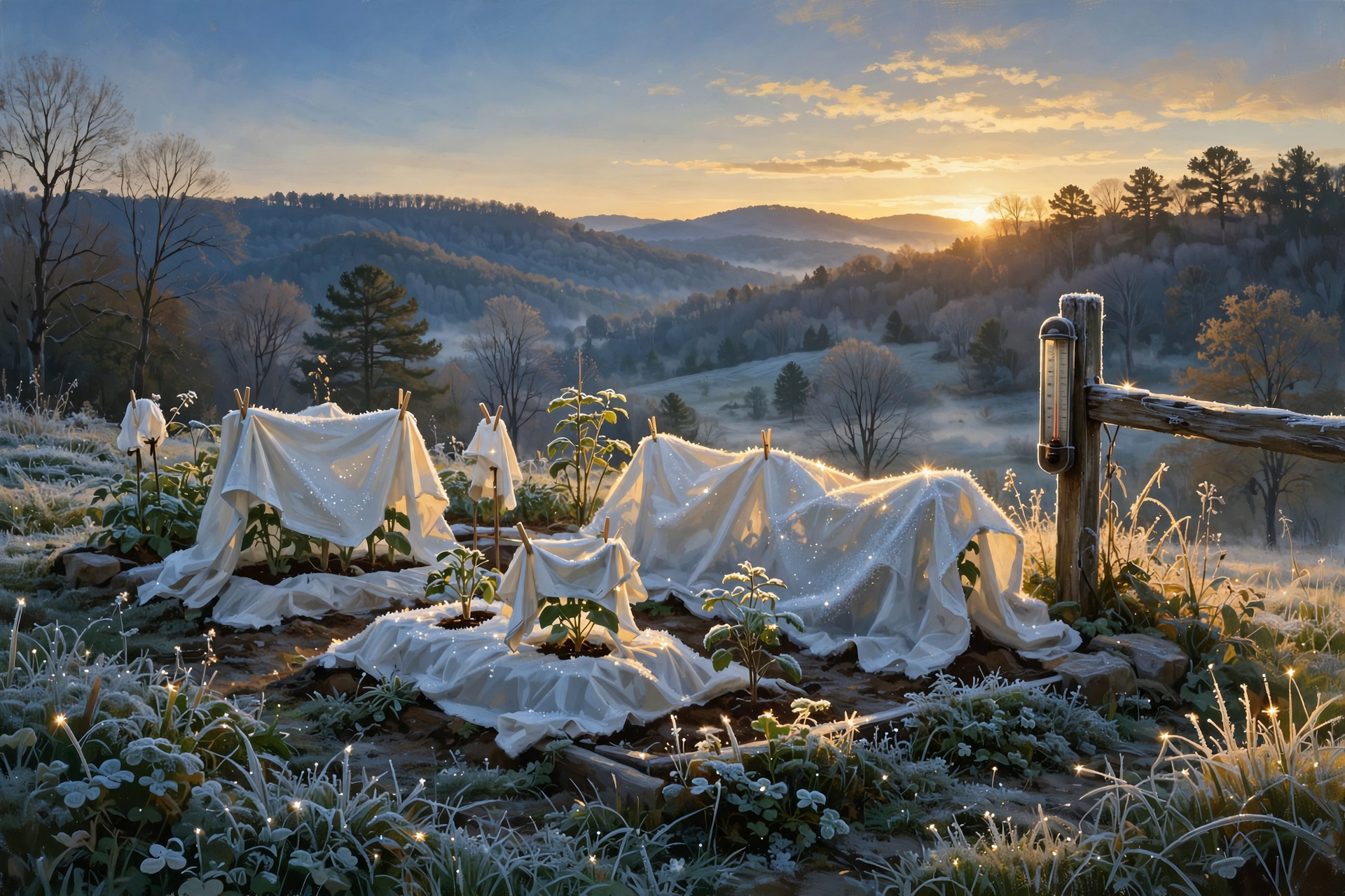
Morristown’s Sunday discussion says this morning “may hold the coldest lows of the forecast,” with the low 30s in higher terrain and upper 30s to low 40s in the valleys. Weather Service airport sensors show Crossville bottomed out near 37 overnight and Chattanooga near 45. The Hazardous Weather Outlook, which covers Sequatchie, Marion, Hamilton and Bledsoe counties, says areas of frost are likely again late tonight into Monday morning for parts of the Cumberland Plateau, the Southern Appalachians, northeast Tennessee and southwest Virginia.
Dunlap’s own forecast low tonight is 41, a few degrees milder than last night, with clear skies and no wind. After Monday morning, the town forecast keeps every night in the 43 to 46 range through Saturday.
What it means for you: Valley gardeners are probably in the clear, but low fields and creek bottoms can still run colder than town. If you live up on the mountain or in a frost pocket, cover tender plants one more evening and pull the covers once the sun is up Monday. After that, you can fold up the old bedsheets for a while.
👉 Read more (Morristown Hazardous Weather Outlook) · NWS Morristown forecast discussion
🚌 Jacket at the Bus Stop, T-Shirt at Pickup: A Week of Sunshine
Morristown describes the pattern this week as a big, stuck “omega block,” with high pressure parked over the middle of the country. Their words: “Dry weather will continue through the rest of the forecast period with temperatures eventually rising to a few degrees above normal.” Dunlap’s grid forecast, updated about 6:06 a.m. Central:
- Monday: Sunny, high near 71. Night: clear, near 43.
- Tuesday: Sunny, high near 74. Night: near 44.
- Wednesday: Sunny, high near 76. Night: near 45.
- Thursday and Friday: Sunny, highs near 75 and 74. Nights near 45.
- Saturday: Sunny, high near 76. Night: near 46.
Every day shows a 0% chance of rain, with light winds. That’s a 30-degree swing from early morning to mid-afternoon most days.
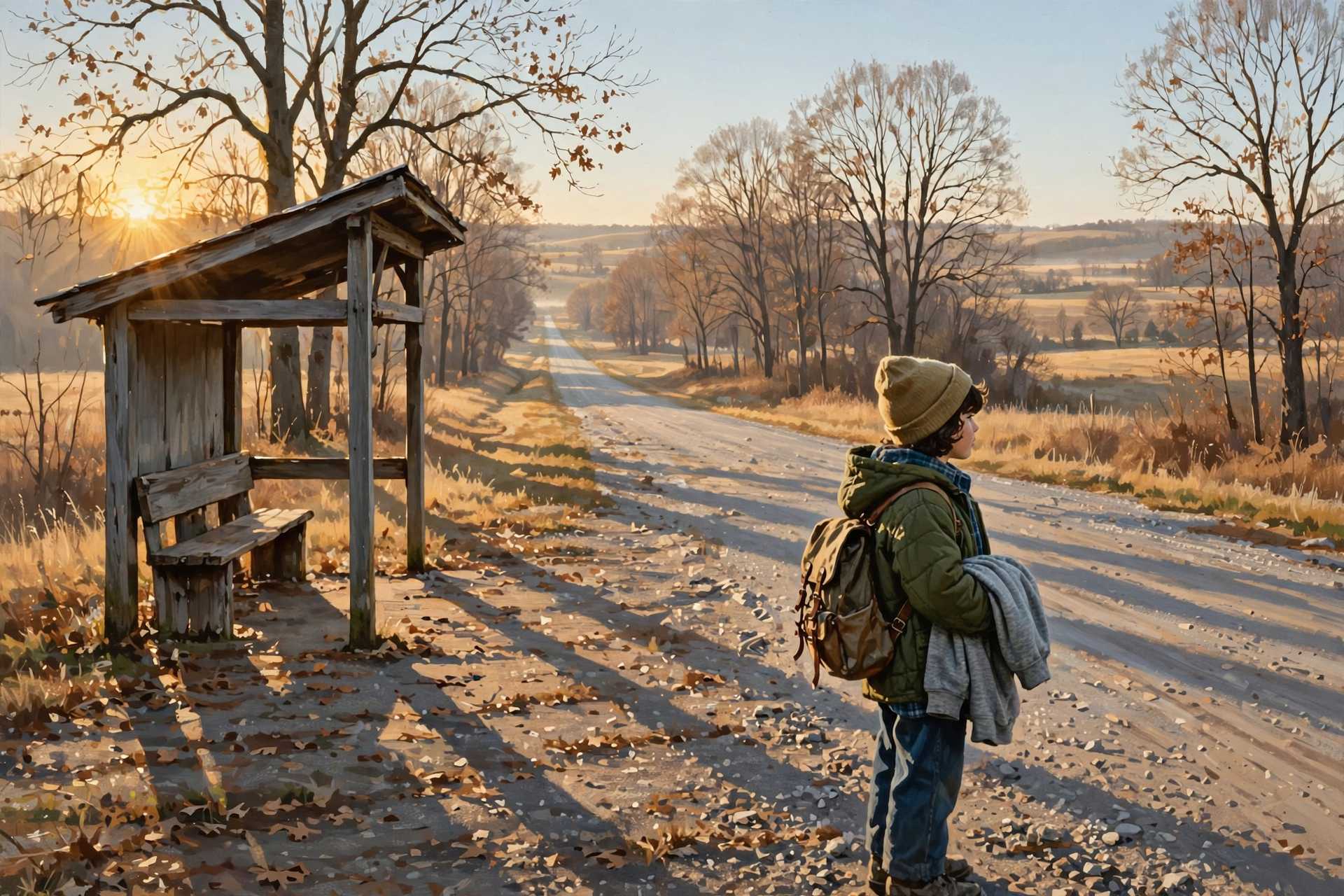
What it means for you: Send the kids out the door in layers they can peel off and stuff in a backpack, and put names in those jackets, since half of them will ride home in the lost-and-found. For farm chores, it’s a dry, steady week for hauling hay, mending fence, cleaning gutters and getting equipment ready for winter. Sunrise is about 6:51 a.m. and sunset about 6:02 p.m. Central today, so evening chores still need to start before supper.
👉 Read more (Dunlap 7-day forecast) · NWS grid forecast data
🌾 The Dry Spell, in Plain Numbers: Sequatchie County in Moderate Drought
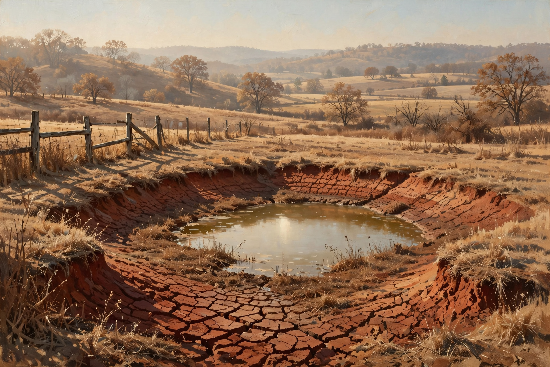
The latest U.S. Drought Monitor, released Thursday and showing conditions as of Oct. 13, puts all of Sequatchie County in at least moderate drought (called D1), with a small slice, about 6%, in severe drought (D2). Neighbors vary a lot:
- Grundy County: about 98% in severe drought.
- Marion County: nearly all moderate, about 19% severe.
- Van Buren County: about 80% moderate, about 8% severe.
- Bledsoe County: about 34% moderate; the rest abnormally dry.
- Hamilton County: about 10% moderate; the rest abnormally dry.
Chattanooga’s climate report backs that up. The airport has had 3.39 inches of rain since Sept. 1, about 2.83 inches below normal, and it’s about 9 inches behind for the year. Sequatchie’s fire-weather forecast shows afternoon humidity around 30% today. The next Drought Monitor map comes out Thursday.
What it means for you: This is a slow-moving dry spell, not an emergency. Think of the ground as a sponge left out on the windowsill: it’s fine, it just needs a good soaking. Check stock ponds and troughs, keep an eye on hay supplies, and water new trees, shrubs and fall pansies deeply about once a week. If you’re on a well and notice changes, make a note and keep usage sensible.
👉 Read more (U.S. Drought Monitor: Tennessee) · Chattanooga climate report
🔥 Burning: No Bans, but Dry Afternoons Call for Small Piles
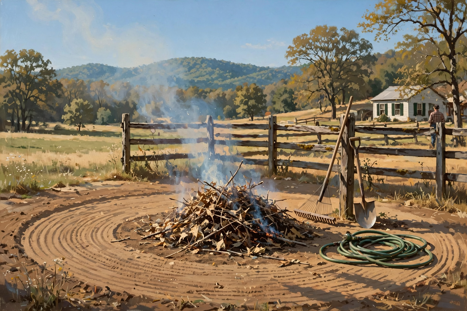
The state’s burn-ban page still reads: “Currently, there are no active burn bans in the State of Tennessee.” During burn-permit season (Oct. 15 through May 15), a free, same-day permit is required to burn leaves, brush or other natural debris outdoors. Get it at BurnSafeTN.org or in the MyTN app, or call 1-877-350-BURN (2876). Town residents should check local rules first.
Sequatchie’s fire-weather forecast rates smoke dispersion poor today and very poor tonight, meaning smoke will hang low in the valley. Monday improves to fair, with a light north breeze aloft to carry smoke away.
What it means for you: With dry air and no rain coming, a small, supervised pile beats a big one every time. Monday midday is the better day for smoke. Get the permit, rake a bare strip around the pile, keep a hose and rake handy, stay with it, and make sure it’s dead out before you walk away.
👉 Read more (Tennessee burn-ban status) · Morristown fire-weather forecast · BurnSafeTN
🦌 Hunters and Leaf Lookers: What’s Open and When the Colors Peak
Here are a few dates from TWRA’s statewide season summary worth putting on the fridge:
- Fall turkey (shotgun/archery): open now through Oct. 30; one male turkey.
- Canada geese: the current segment ends Thursday, Oct. 22.
- Archery deer: through Oct. 30, then again Nov. 2 to 6.
- Young Sportsman deer hunt (ages 6 to 16): Oct. 31 to Nov. 1, with a non-hunting adult 21 or older.
- Muzzleloader/archery deer: Nov. 7 to 20. Quail and rabbit also open Nov. 7.
Sequatchie, Bledsoe and Grundy counties are in Deer Unit 4; Marion and Hamilton are in Unit 5.
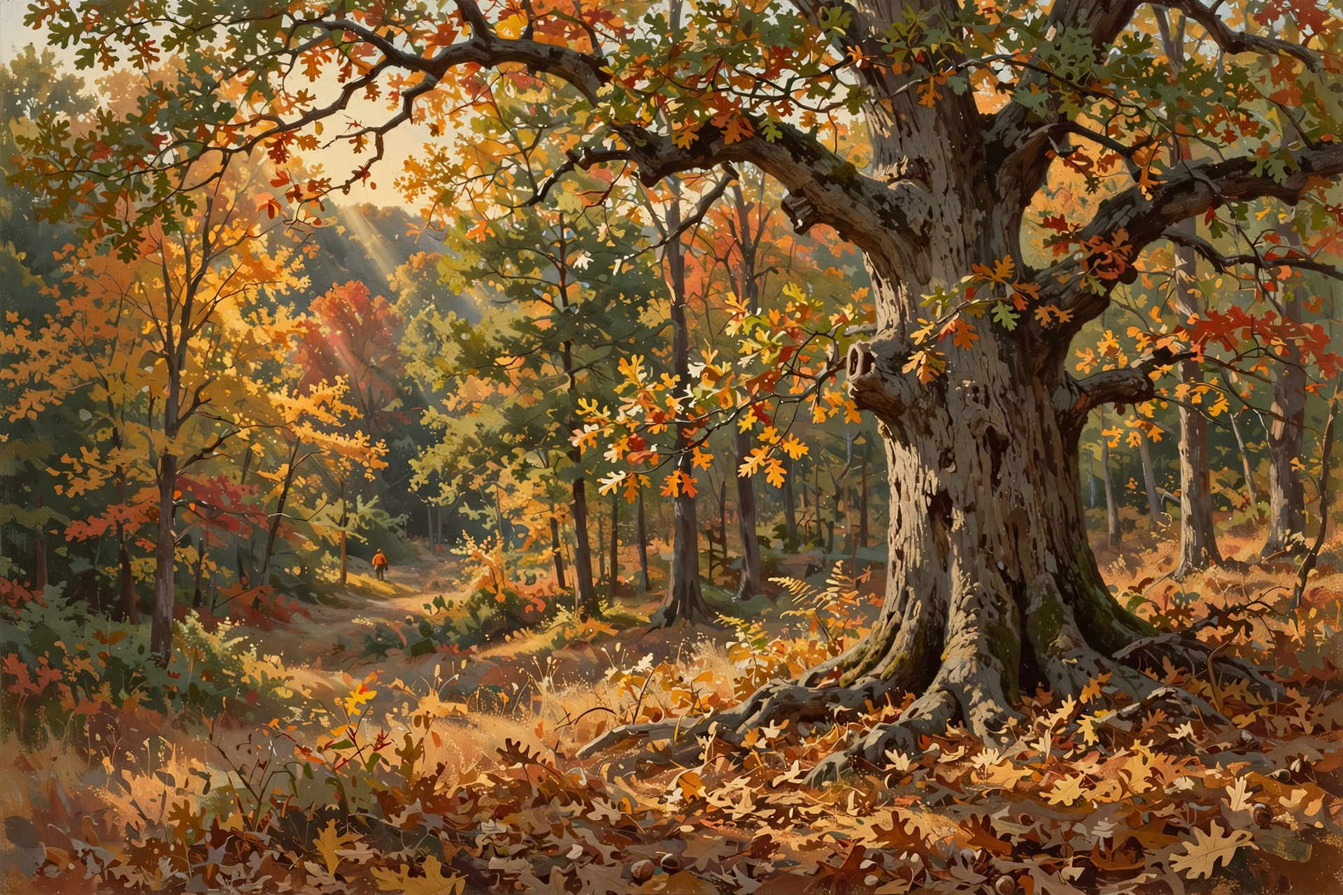
For leaves, Tennessee State Parks suggests late October for the Cumberland Plateau. One independent satellite-based foliage forecast shows moderate color at Fall Creek Falls now and estimates its peak around Oct. 28, running about five days late after a warm early fall.
What it means for you: Hunters, the dry woods mean crunchy leaves and easy-to-hear footsteps, so slow down and wear blaze orange when moving. Leaf lookers, the next two weeks of sunshine set up a fine Sunday drive. Weekday trips to the state parks are usually less crowded.
👉 Read more (TWRA hunting seasons summary) · Tennessee State Parks fall color guide · Fall Creek Falls foliage estimate
🕰️ Two Weeks Out: Clocks Fall Back Sunday, Nov. 1
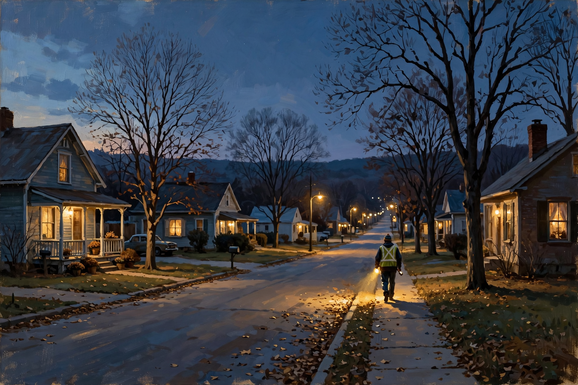
Daylight saving time ends at 2 a.m. on Sunday, Nov. 1, 2026, according to the U.S. Naval Observatory and NIST. Clocks go back one hour. For Dunlap, Naval Observatory tables show sunrise jumping from about 7:02 a.m. on Saturday, Oct. 31 to about 6:03 a.m. on Sunday, Nov. 1, and sunset moving from about 5:48 p.m. to about 4:47 p.m.
What it means for you: You get an extra hour of sleep, like finding a twenty in last winter’s coat pocket. The trade-off is dark arriving before 5 p.m. Notice that the time change lands on the Sunday of the Young Sportsman hunt, so double-check sunrise that morning. It’s also a handy reminder to test smoke detectors and plan evening chores and walks a little earlier.
👉 Read more (U.S. Naval Observatory: daylight saving time) · NIST daylight saving rules
✅ Your Sunday-to-Saturday Checklist
- ✅ Sunday evening: On the plateau or in a frost pocket? Cover tender plants one last night.
- ✅ Monday morning: Uncover plants once the sun is up. If you plan to burn, Monday midday is the better smoke day. Get the free permit first.
- ✅ School mornings: Layers for the kids. Jacket at the bus stop, T-shirt at pickup.
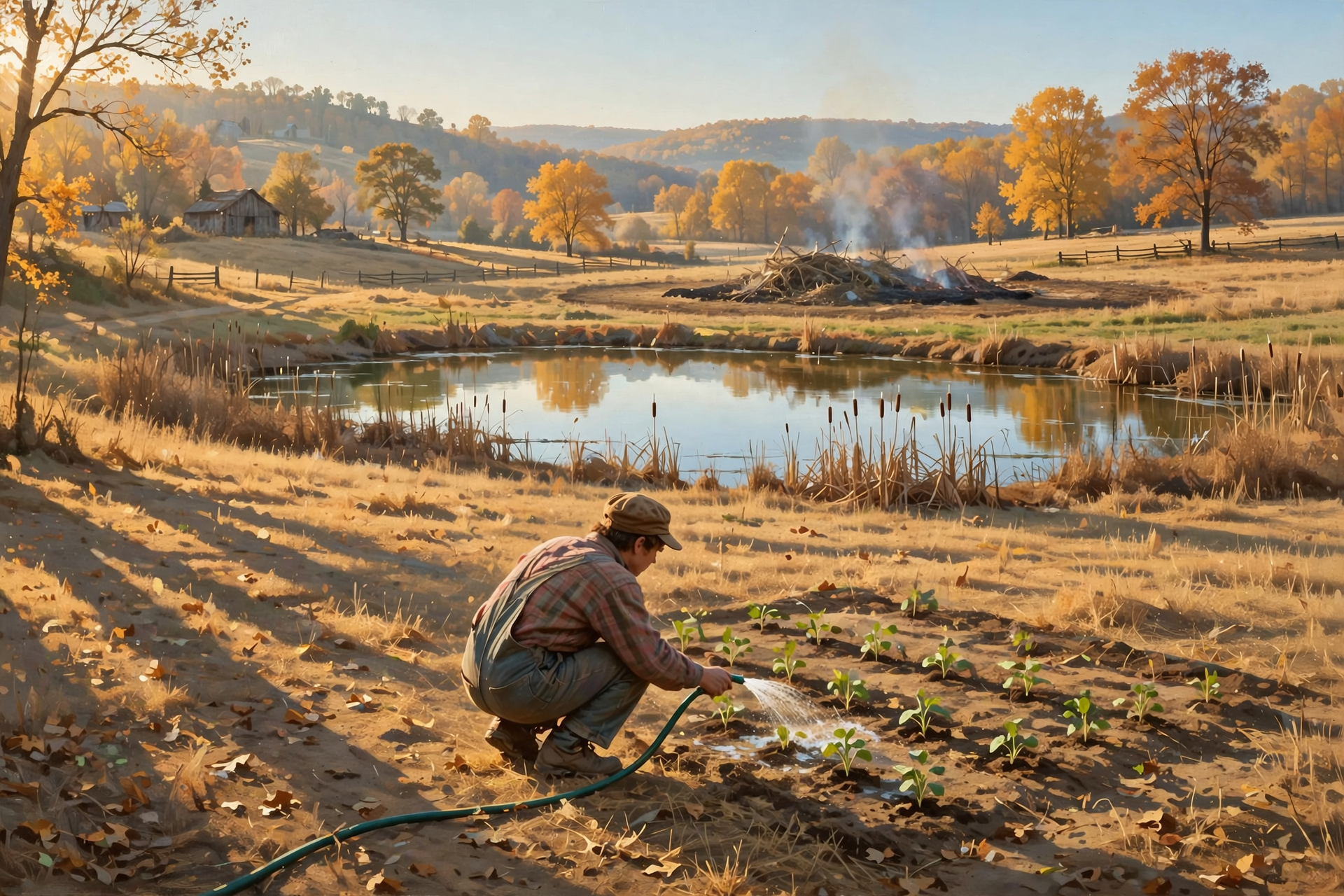
- ✅ Midweek: Check stock ponds, troughs and hay, and water new plantings deeply once.
- ✅ Thursday: Last day of the current Canada goose segment, and the new drought map comes out.
- ✅ On the calendar: Young Sportsman deer hunt Oct. 31 to Nov. 1. Clocks fall back Sunday, Nov. 1.
Practical rule: Sunny and dry all week. Dress in layers, water what’s new, burn small with a permit, and fall back one hour on Nov. 1.
— Dunlap.Today
📚 Plain-English Weather Glossary

- U.S. Drought Monitor: A weekly national map, released each Thursday, that rates how dry each area is, from “abnormally dry” up to “exceptional drought.”
- Moderate drought (D1): The first true drought level. Ponds and pastures start to feel it and fire danger rises.
- Severe drought (D2): One step drier. Streams run low and hay and crops get stressed.
- Frost: Ice crystals that form on clear, calm nights. It can show up in low spots even when the official low is in the upper 30s.
- Omega block: A stuck weather pattern shaped like the Greek letter Ω. It parks high pressure in place and keeps storms away for days.
- Smoke dispersion: How well the air carries smoke up and away. “Poor” means smoke tends to sit low and drift along the ground.
- Burn permit: A free, one-day permit from the Tennessee Division of Forestry, required Oct. 15 through May 15 to burn leaves or brush outdoors.
- Standard time: The “regular” clock time we return to when daylight saving time ends. In Dunlap, that’s Central Standard Time.
❓ Frequently Asked Questions

Will it rain at all this week?
Not according to the current forecast. Dunlap’s National Weather Service forecast is sunny every day through Saturday, with a 0% chance of rain each day.
Do I need to cover plants tonight?
Only if you live on the plateau or in a known frost pocket. Dunlap’s low is forecast near 41, but the Hazardous Weather Outlook lists areas of frost late tonight into Monday morning for parts of the Cumberland Plateau.
Is Sequatchie County in a drought?
Yes. The Oct. 15 Drought Monitor shows all of Sequatchie County in moderate drought, with about 6% in severe drought. Grundy County is drier, at about 98% severe.
Is there a burn ban?
No. Tennessee’s burn-ban page says there are no active burn bans. You still need a free same-day permit to burn leaves or brush through May 15.
When do the clocks change, and which way?
Sunday, Nov. 1, at 2 a.m. Clocks go back one hour. Sunrise moves to about 6:03 a.m. and sunset to about 4:47 p.m. in Dunlap.
When is the Young Sportsman deer hunt?
Oct. 31 to Nov. 1 statewide for hunters ages 6 to 16, who must be with a non-hunting adult 21 or older, according to TWRA.
When will the leaves peak on the plateau?
Tennessee State Parks suggests late October for the Cumberland Plateau. One foliage forecast estimates Fall Creek Falls peaking around Oct. 28 this year.
🔗 Other Resources

- National Weather Service: Dunlap forecast
- National Weather Service Morristown
- Morristown Hazardous Weather Outlook
- U.S. Drought Monitor: Tennessee
- BurnSafeTN: free burn permits
- Tennessee burn-ban status
- TWRA hunting seasons summary
- Tennessee State Parks: where and when to see fall color
- U.S. Naval Observatory: daylight saving time dates
- Sequachee Valley Electric Cooperative outages
🌤️ A Quiet Week to Enjoy
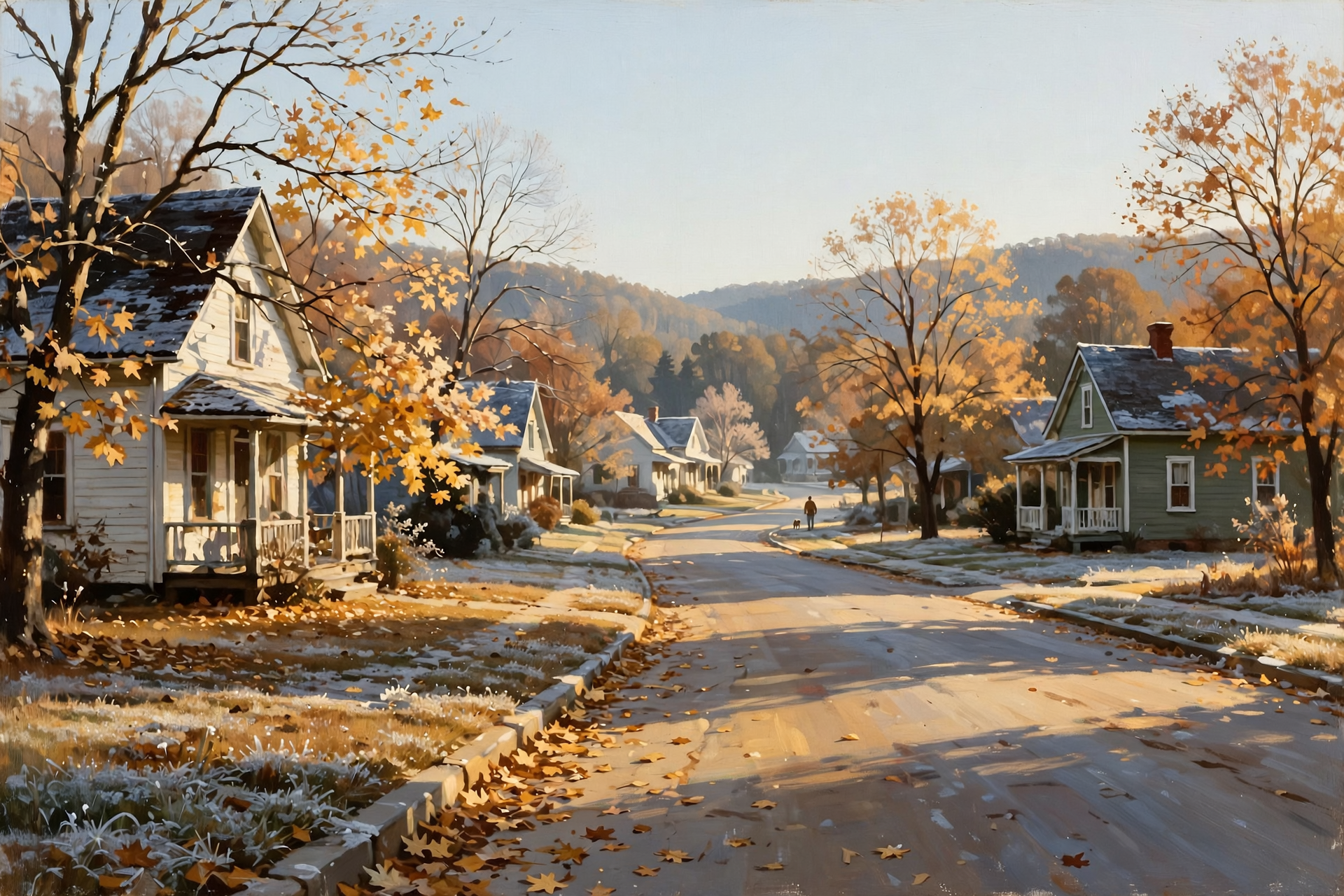
Nothing in this forecast calls for worry. There are no storms, no watches and no burn bans, just a calm, sunny week with cool mornings and pleasant afternoons. The dry spell is worth keeping an eye on, the way you’d watch a slow leak in a tire, but a little care with water and burn piles goes a long way. Layer up for the bus stop, enjoy the afternoons, and put Nov. 1 on the calendar so the time change doesn’t sneak up on you.
We’ll keep watching the sky so you don’t have to. Read Dunlap.Today for calm, practical weather in plain English.
Sources
Know about an upcoming event or story in the Sequatchie Valley? Submit it here.




0 Comments