
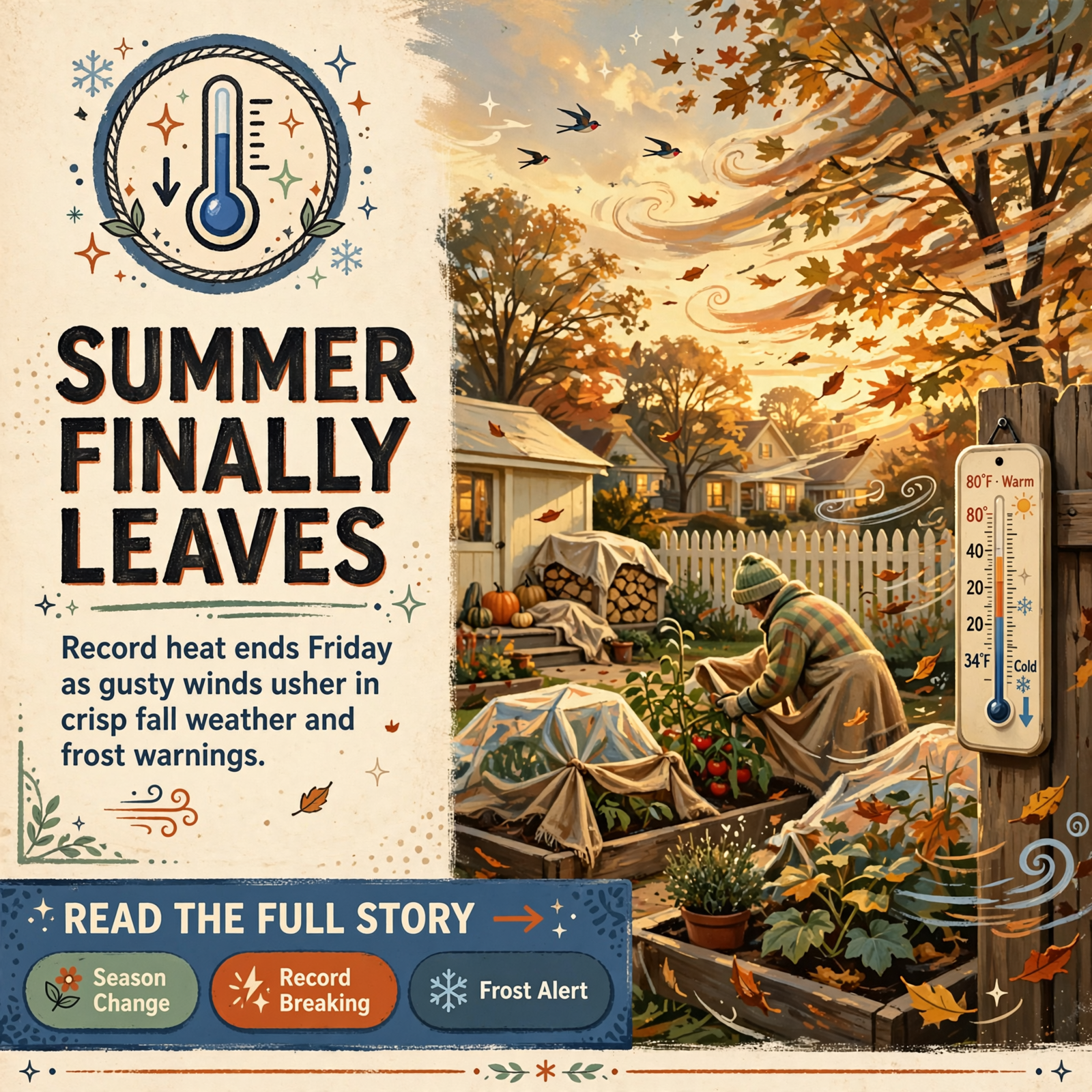
🌬️ Friday's Front Is Here: Gusts to 30 Tonight, a Record 92 Locked In Thursday, and Dunlap Near 38 Saturday Night
Or: The Summer Houseguest Finally Left — Cooler Air This Afternoon, Breezy Turkey Weather Saturday, Frost Watch on the Plateau
By Thomas Seest, Dunlap.Today · Friday, October 16, 2026
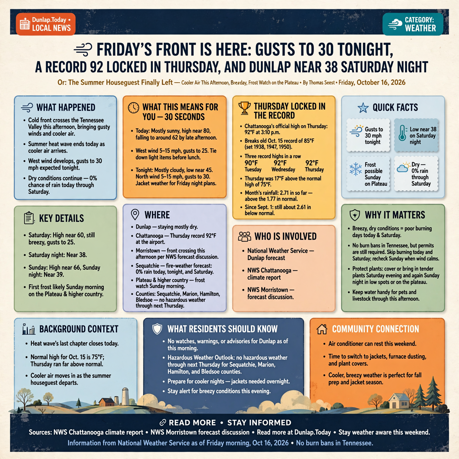
Yesterday we said the summer houseguest would head out Friday. Well, the suitcase is by the door. This morning’s National Weather Service Dunlap forecast already shows a west wind, a high near 80 that falls into the low 60s by late afternoon, and gusts to 30 mph tonight. The heat wave’s last chapter is written, too: Chattanooga’s official climate report shows Thursday hit a record 92.
Here’s what’s new as of Friday morning. Morristown’s 7:32 a.m. Eastern discussion says the cold front crosses the Tennessee Valley this afternoon, with gusty winds this afternoon and evening. Dunlap stays mostly dry — Sequatchie’s fire-weather forecast lists a 0% chance of rain today, tonight and Saturday — while the best shower chances stay northeast of us. Saturday night is still near 38, Sunday night edged cooler to 39, and forecasters now highlight the first frost of the season likely on the Plateau and higher country Sunday morning. There are still no burn bans in Tennessee, but today and Saturday are poor burning days because of the wind. As of this morning there were no watches, warnings or advisories for Dunlap, and Friday’s Hazardous Weather Outlook expects no hazardous weather through next Thursday for Sequatchie, Marion, Hamilton and Bledsoe counties.
⏱️ What this means for you in 30 seconds
- Today: Mostly sunny, high near 80, falling to around 62 late afternoon. West wind 5 to 15 mph, gusts to 25. Tie down light stuff before lunch if you can.
- Tonight: Mostly cloudy, low near 45. North wind 5 to 15 mph, gusts to 30. Jacket weather for any Friday night plans.
- Weekend: Saturday high near 60 and still breezy (gusts to 25). Saturday night near 38. Sunday near 66, Sunday night near 39.
- Burning: Permits still required; no statewide burn bans. Skip today and Saturday. Check Sunday morning when the wind calms.
- Plants: Cover or bring in tender plants Saturday evening, and again Sunday night in low spots or on the plateau.
🏆 Thursday Locked In the Record: Chattanooga Hit 92 Again
The Weather Service’s Chattanooga climate report, issued early this morning, shows Thursday’s official high at the airport was 92 degrees at 3:10 p.m. The old Oct. 15 record was 85, shared by 1938, 1947 and 1950. That makes three record-setting afternoons in a row at the airport: a record 90 Tuesday, a record 92 Wednesday, and another record 92 Thursday. The normal high for Oct. 15 is 75, so Thursday ran 17 degrees above normal. Rainfall stayed at 2.71 inches for the month so far (above the 1.77 normal for this point in October), but since Sept. 1 Chattanooga is still about 2.61 inches behind.
What it means for you: You can put the heat chapter on the shelf. The air conditioner earned a weekend off. If anybody in the house or the barn struggled in that stretch of 90s, today is the turn. Keep water handy for pets and livestock through this afternoon, then switch your mind to jackets, furnace dust and plant covers.
👉 Read more (NWS Chattanooga climate report) · NWS Morristown forecast discussion
🌬️ The Front Arrives This Afternoon: Warm Morning, Cooler Supper

Morristown’s Friday morning key messages are simple: rain chances return this afternoon into tonight especially in northern areas, then much cooler conditions for the weekend. For Dunlap, the grid forecast updated about 8:32 a.m. Central looks like this:
- Today: Mostly sunny. High near 80, with temperatures falling to around 62 in the afternoon. West wind 5 to 15 mph, gusts as high as 25 mph.
- Tonight: Mostly cloudy. Low around 45. North wind 5 to 15 mph, gusts as high as 30 mph.
- Saturday: Mostly sunny. High near 60. North wind 10 to 15 mph, gusts to 25 mph.
- Sunday through Thursday: Sunny, highs near 66, 69, 74, 76 and 77.
Sequatchie County’s fire-weather forecast (issued 2:17 a.m. Central) agrees on the dry call for our valley: 0% chance of rain today, tonight and Saturday, with northwest winds this afternoon around 14 mph and gusts near 23. Morristown’s aviation note says Chattanooga is more likely to stay dry, with light rain focused on Knoxville and the Tri-Cities. Hourly guidance for Dunlap keeps rain chances in the single digits most of the day.
What it means for you: Friday will feel like two days in one pair of jeans. Pleasant and still warm mid-morning, then breezy and cooler by supper. Before the wind picks up, tie down or bring in patio umbrellas, trampolines, light porch furniture and those blow-up fall decorations. If you’re headed to a ballgame or a Friday fish fry, take a jacket. Gusts to 30 tonight can move anything that isn’t tied down, like a restless puppy with the screen door open.
👉 Read more (Dunlap 7-day forecast) · NWS Morristown forecast discussion
🥶 Weekend Chill Holds: 38 Saturday Night, Frost Likely on the Plateau
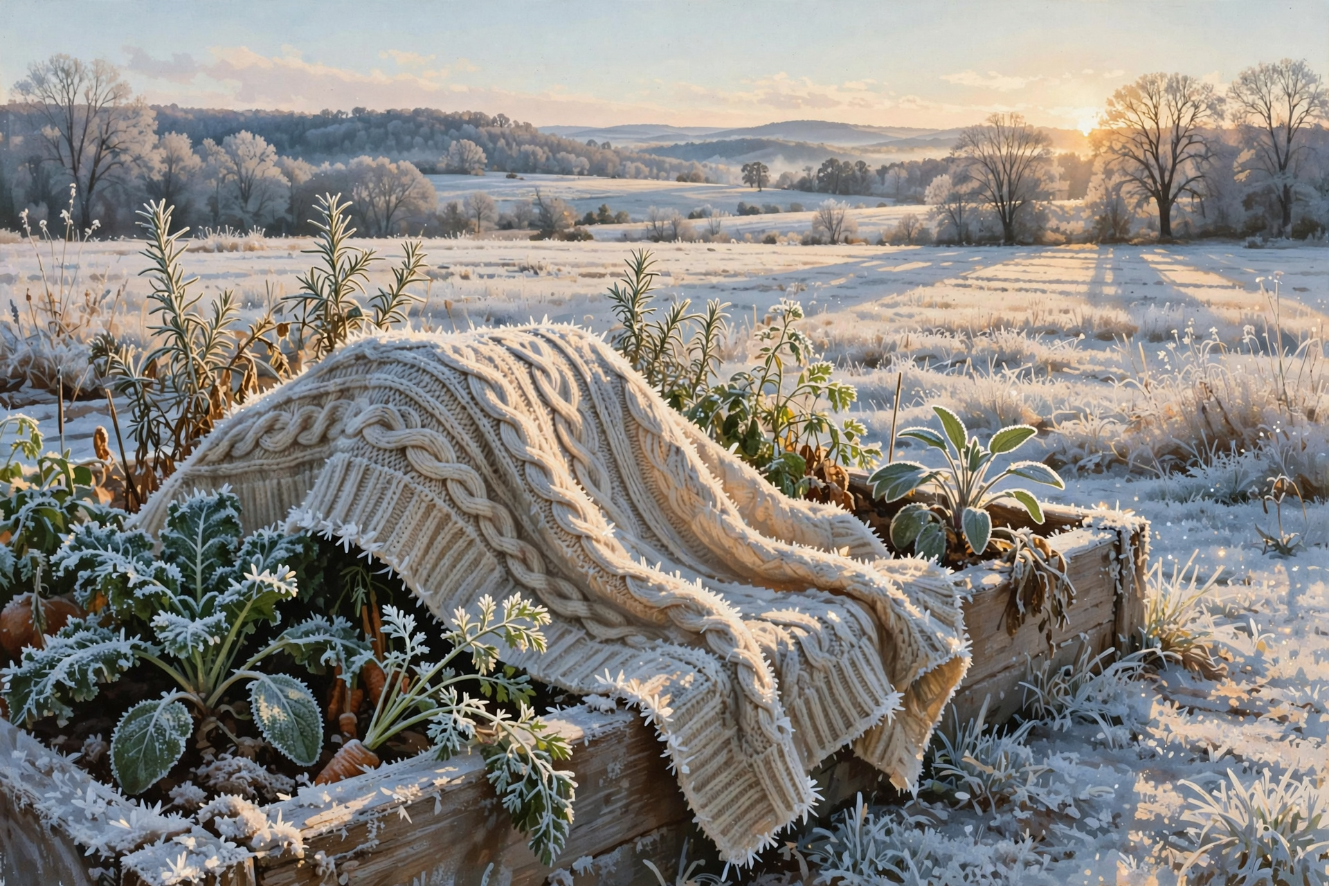
The weekend numbers barely budged overnight, and that’s the point: the cool-down is locked in. Dunlap’s Saturday-night low is still 38 under mostly clear skies. Sunday night is now near 39 (it was 40 in Thursday’s package). Morristown’s key message says the first frost of the season is likely for the Plateau, southwest Virginia, and the Tennessee/North Carolina mountains Sunday morning, with frost possible Saturday and Sunday nights mainly in those colder spots. Sequatchie’s fire-weather outlook for Saturday night and Sunday night calls for clear skies and lows in the upper 30s.
Dunlap’s town forecast doesn’t print the word “frost,” but cold air still slides downhill into creek bottoms and low fields on clear nights. Neighbors up on the plateau sit higher and usually run colder.
What it means for you: Going from Thursday’s 92 at the airport to 38 Saturday night is a 54-degree swing — like walking out of the hay loft into the deep freeze. Pick the last tomatoes, peppers, squash and basil by Saturday afternoon. Bring hanging baskets and pots onto the porch or into the garage Saturday evening, and cover in-ground tender plants with an old sheet or blanket (not plastic touching the leaves). Take covers off Sunday morning once the sun is up, and put them back Sunday night if you’re on high ground or in a low spot. Run the furnace or a space heater for a few minutes today so the dusty smell is gone before you need it, and make sure pets and chickens have a snug spot.
👉 Read more (NWS Morristown frost guidance) · Dunlap forecast
🔥 Burning: Still No Bans — But Skip Today and Saturday
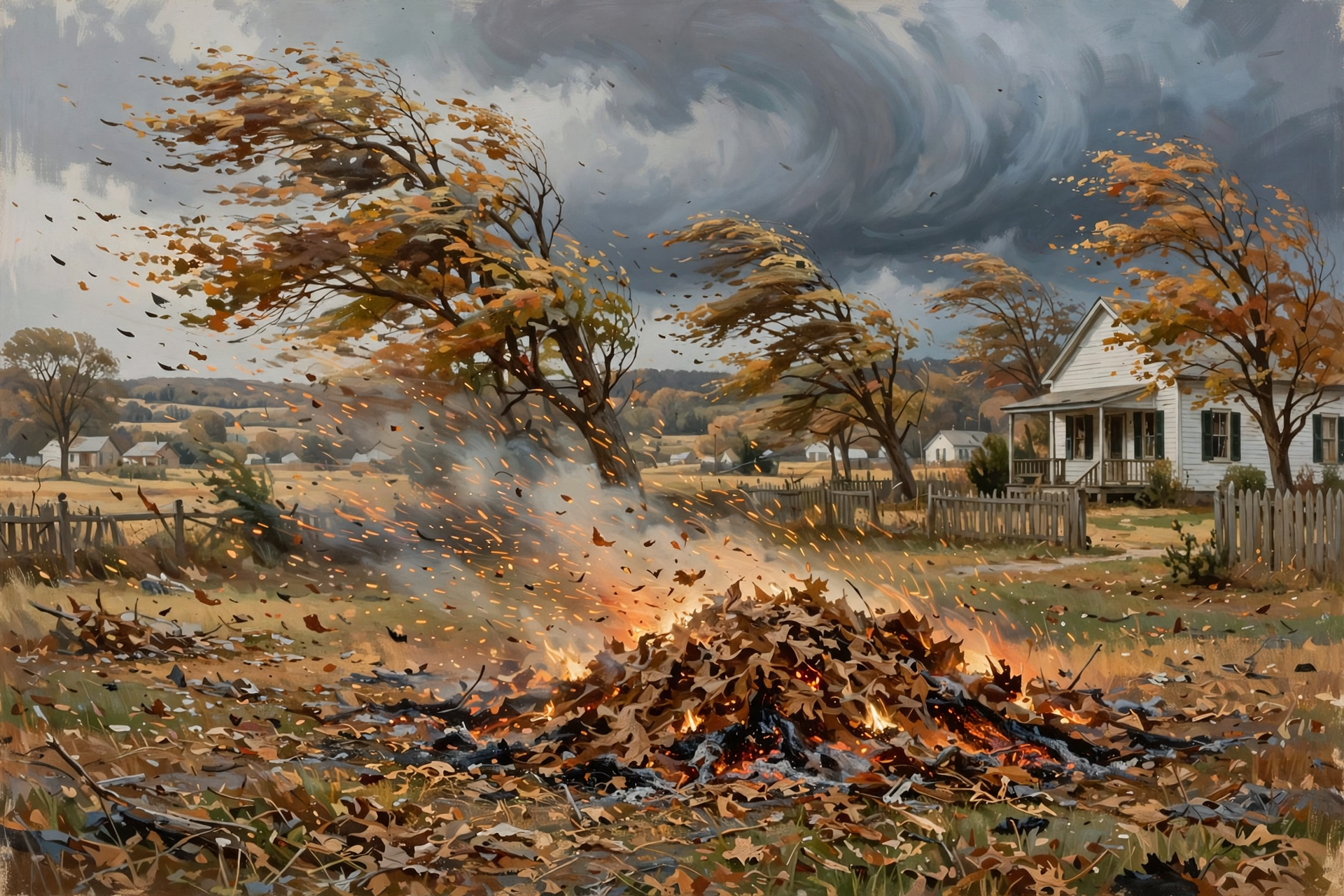
Burn-permit season is underway (Oct. 15 through May 15), and the state’s burn-ban page still says there are currently no active burn bans in Tennessee. A free, same-day permit is still required to burn leaf piles, brush or other natural debris. Get it at BurnSafeTN.org or in the MyTN app (online from 8 a.m.), or call 1-877-350-BURN (2876) weekdays. The fire must be completely out by midnight. Grills, campfires and a burn barrel with a half-inch mesh screen still don’t need a permit. Town rules come first if you live inside city limits.
The catch this weekend is the wind. Sequatchie’s fire-weather forecast shows gusty northwest and north winds today and Saturday, and Morristown expects gusts up to 30 mph at times this afternoon and evening. Embers travel on a day like that the way a napkin does at a church picnic.
What it means for you: Don’t burn today. Don’t burn Saturday. Sunday’s forecast has a light east wind around 5 mph and sunny skies — that’s the next calm window. Check for a permit Sunday morning before you light anything, keep the pile small, rake a bare strip at least 3 feet wide, keep a hose and rake close, and stay with it until it’s cold.
👉 Read more (Tennessee burn permits) · Tennessee burn-ban status · BurnSafeTN
🦃 Turkey Opener Saturday: Crisp, Bright and Breezy

Statewide fall turkey shotgun/archery season still opens tomorrow, Saturday, Oct. 17, through Oct. 30, according to TWRA. The fall bag limit remains one male turkey (no bearded hens), and you can’t carry archery equipment and a shotgun or rifle at the same time. Sequatchie, Marion, Bledsoe and Hamilton counties are open. Also open: archery deer (through Oct. 30), squirrel, grouse, the second dove segment (through Nov. 1) and Canada geese (through Oct. 22). The Young Sportsman deer hunt for ages 6 to 16 is Oct. 31 to Nov. 1.
Saturday’s opener weather in Dunlap looks mostly sunny, starting in the 40s and reaching about 60, with a north breeze gusting to 25 mph. Sunrise for our area is about 6:49 a.m. Central Friday; Saturday runs within a minute or two of that. No rain is in Sequatchie’s Saturday fire-weather outlook.
What it means for you: Dress in layers. You’ll start cold, end comfortable, and that north wind will cut through a thin shirt on the ridges. Wear blaze orange when you’re moving through the woods, even when it’s not required. After Thursday’s heat, any game you take will cool faster — still, cool it down promptly. For leaf lookers, the Smokies were already near peak earlier this week; closer to home, save a plateau color drive for late October.
👉 Read more (TWRA hunting seasons summary) · Dunlap Saturday forecast
✅ Your Friday-to-Sunday Checklist
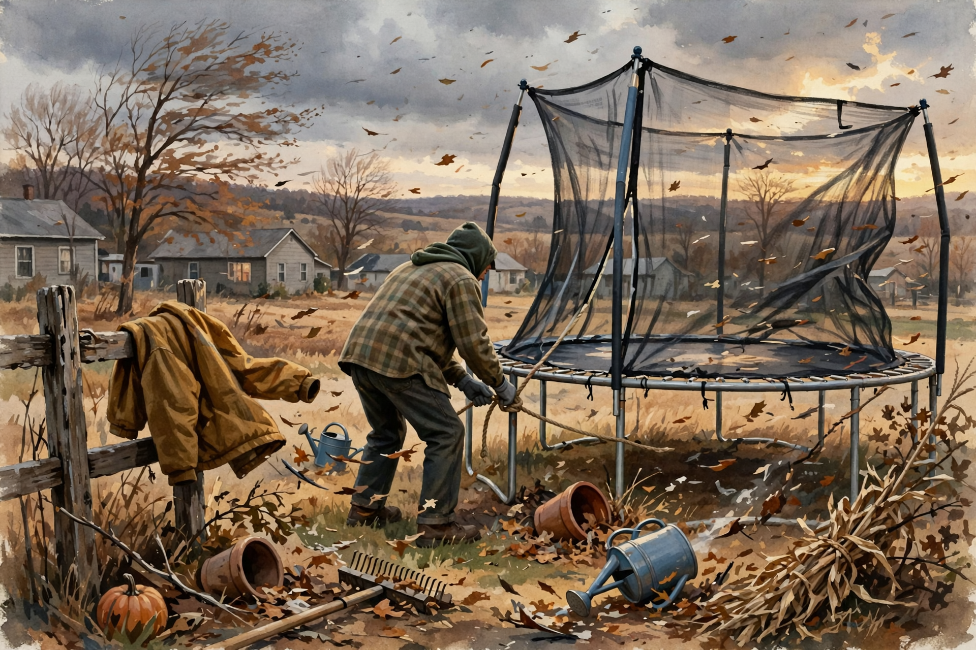
- ✅ Friday morning: Finish outdoor work early. Tie down umbrellas, trampolines and light decorations before the wind rises.
- ✅ Friday: Don’t burn. Test the furnace or heater for a few minutes so the dust smell is gone.
- ✅ Friday night: Bring a jacket. Gusts could reach 30 mph.
- ✅ Saturday: Fall turkey shotgun season opens. Wear layers and blaze orange when moving. Still not a burning day.
- ✅ Saturday afternoon: Pick the last of the garden. Bring pots in and cover tender plants before dark.
- ✅ Sunday: Uncover plants once the sun is up. If you want to burn, get a same-day permit when the wind is calm. Cover plants again Sunday night on high ground or in low spots.
Practical rule: Batten down on the windy days, burn only when it’s calm with a permit, and tuck the plants in on the cold nights.
— Dunlap.Today
📚 Plain-English Weather Glossary
- Cold front: The leading edge of cooler, drier air. Friday’s brings wind and a sharp temperature drop, with little or no rain in the Sequatchie Valley.
- Gust: A quick burst of wind stronger than the steady breeze. A 30 mph gust can move lawn furniture and carry embers.
- Daily record high: The warmest temperature ever measured on that date at an official station. Chattanooga’s airport records go back to 1879.
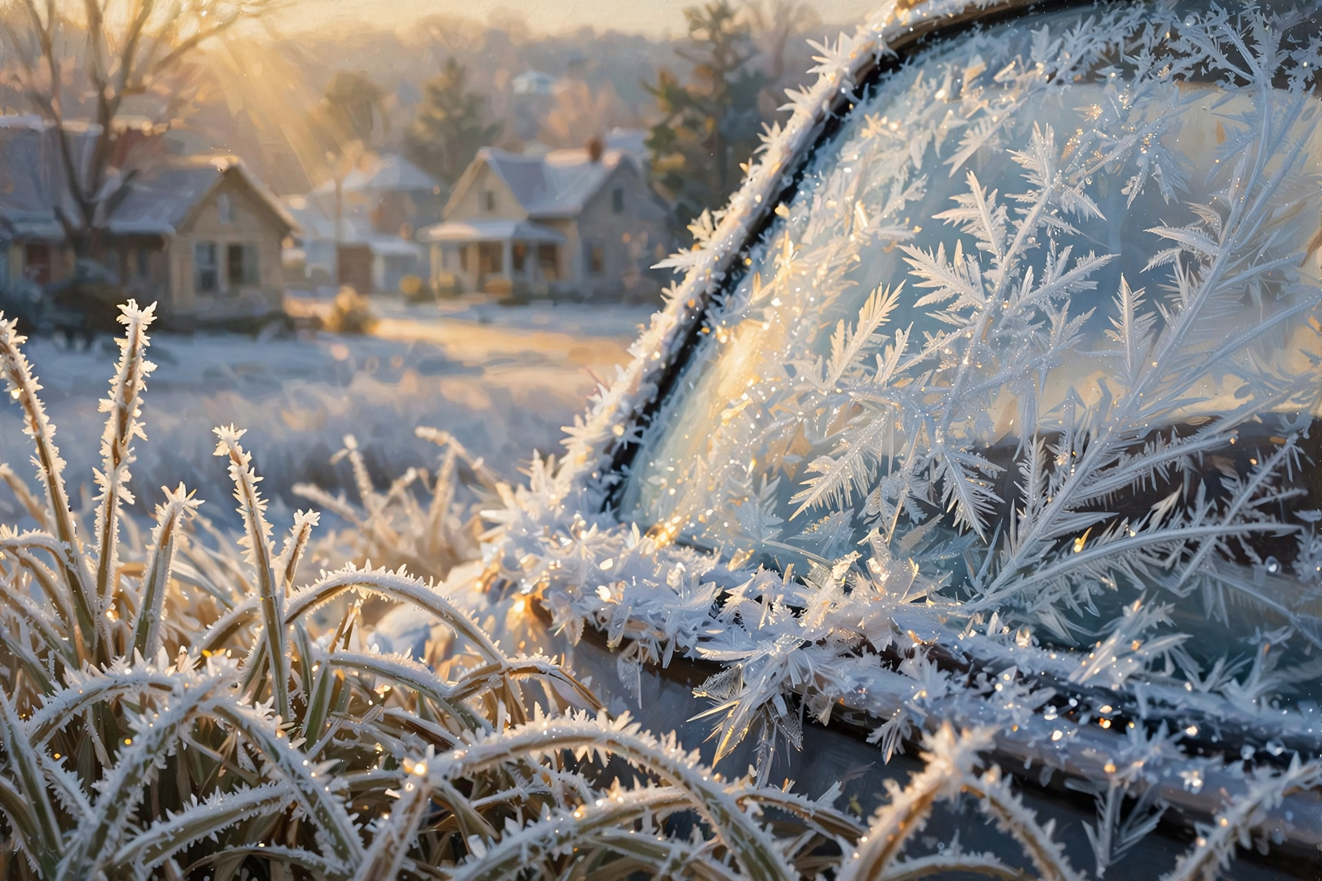
- Frost: Ice crystals that form on grass, cars and plants on clear, calm nights. It can form even when the official low is in the upper 30s, especially in low spots and on the plateau.
- Burn permit: A free, one-day permit from the Tennessee Division of Forestry, required Oct. 15 through May 15 to burn leaves or brush outdoors.
- Burn restriction vs. burn ban: A restriction means the state pauses issuing permits. A ban is stricter and stops nearly all outdoor fires. Neither is in place right now.
- Fire-weather forecast: A specialized forecast for land managers and burners, with wind, humidity and rainfall odds by county.
❓ Frequently Asked Questions
Did Thursday really set another record?
Yes. Chattanooga’s airport hit 92 on Thursday, beating the Oct. 15 record of 85 from 1938, 1947 and 1950. That followed a record 90 Tuesday and a record 92 Wednesday.
Will it rain in Dunlap with the front?
Probably not much, if at all. Sequatchie’s Friday fire-weather forecast lists a 0% chance today, tonight and Saturday. Morristown says the best shower chances are farther north and along the mountains, and Chattanooga is more likely to stay dry.
How windy will Friday night get?
Dunlap’s forecast calls for northwest to north winds 5 to 15 mph with gusts as high as 30 mph tonight. Afternoon gusts today can reach 25 mph.
Should I burn this weekend?
Not Friday or Saturday — too windy. Sunday looks calmer. You still need a free same-day permit for leaf or brush piles, and there are currently no statewide burn bans.
Will it frost in Dunlap this weekend?
Maybe in spots. Dunlap’s forecast low is 38 Saturday night and 39 Sunday night. Forecasters expect the first frost of the season mainly on the Plateau and higher country Sunday morning, but low spots can run colder. Cover tender plants Saturday night to be safe.
Is any severe weather expected?
No. Friday’s Hazardous Weather Outlook expects no hazardous weather through next Thursday, and as of this morning there were no watches, warnings or advisories for Dunlap.
What about turkey hunting Saturday?
Season opens statewide Saturday through Oct. 30. Expect a mostly sunny day near 60 with a breezy north wind. Dress in layers.
🔗 Other Resources

- National Weather Service: Dunlap forecast
- National Weather Service Morristown
- Morristown Hazardous Weather Outlook
- Chattanooga daily climate report
- Morristown fire-weather forecast
- BurnSafeTN: free burn permits
- Tennessee burn permit information
- Tennessee burn-ban status
- TWRA hunting seasons summary
- Sequachee Valley Electric Cooperative outages
🌤️ The Front Is the Good News

There’s nothing in this forecast to lose sleep over. There are no storms, no watches and no burn bans — just a breezy Friday turnover, a crisp turkey morning and the first truly cold nights of fall. Tie down what can blow, skip the burn pile until Sunday, and tuck the plants in tomorrow evening. Then pour a cup of coffee, grab a blanket, and enjoy that first chilly sunrise from the porch.
We’ll keep watching the sky so you don’t have to. Read Dunlap.Today for calm, practical weather in plain English.
Sources
Know about an upcoming event or story in the Sequatchie Valley? Submit it here.



0 Comments