

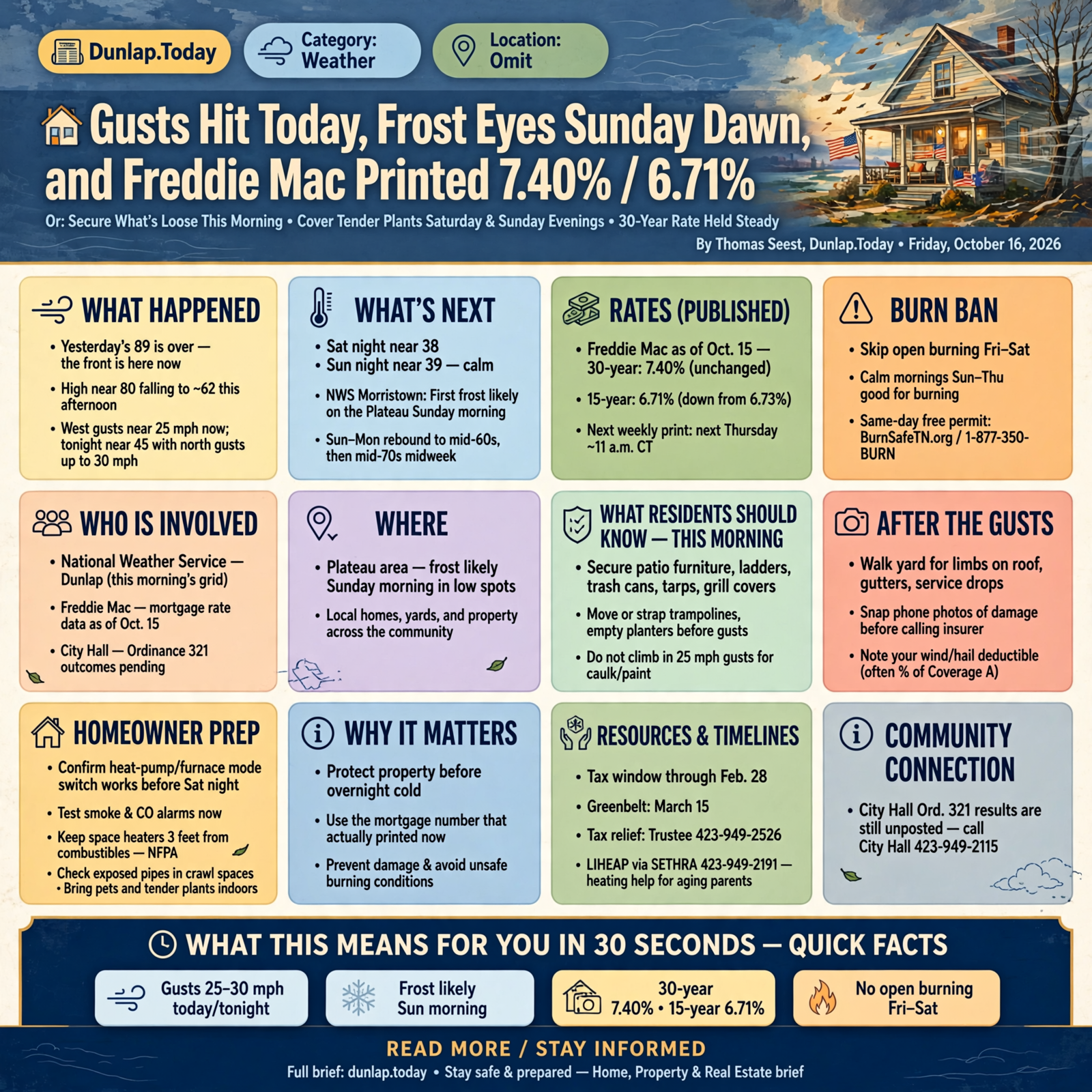
🏡 Gusts Hit Today, Frost Eyes Sunday Dawn, and Freddie Mac Printed 7.40% / 6.71%
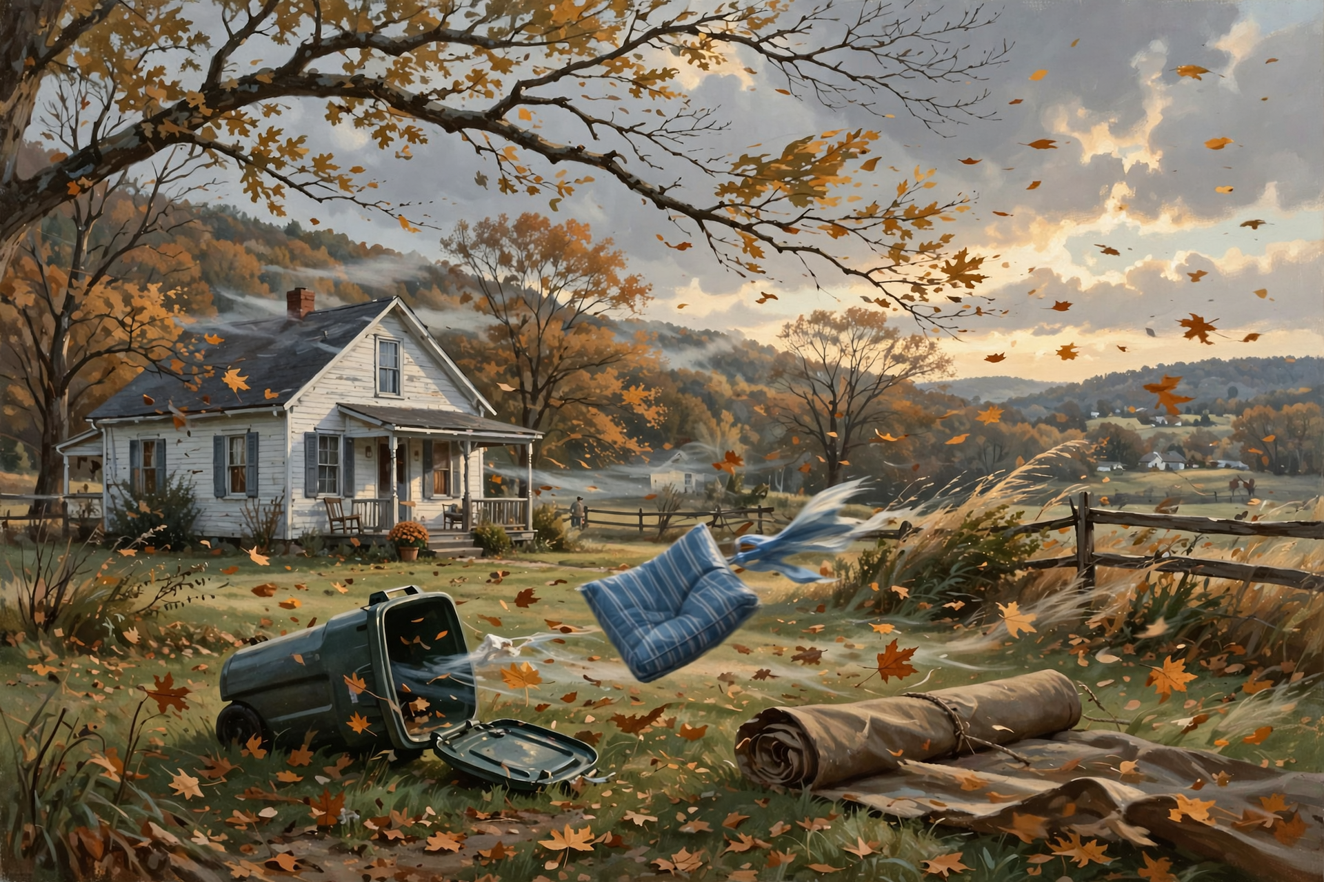
Or: Secure What’s Loose This Morning, Cover Tender Plants Saturday and Sunday Evenings, and the 30-Year Rate Held Steady
By Thomas Seest, Dunlap.Today · Friday, October 16, 2026
Yesterday’s 89 is over. The front is here. That’s not a crisis — it’s a short homeowner calendar: secure what’s loose this morning, walk the yard after the wind, cover tender plants for two calm cold dawns, and use the mortgage number that actually printed.
Here’s this week’s Home, Property & Real Estate brief: today’s high near 80 falls to around 62 with west gusts as high as 25 mph (tonight near 45 with north gusts as high as 30); Saturday night near 38 and Sunday night near 39 — NWS Morristown says first frost is likely on the Plateau Sunday morning; Freddie Mac as of Oct. 15 holds the 30-year at 7.40% and edges the 15-year to 6.71% (down from 6.73%); skip open burning Fri–Sat, with calm mornings Sun–Thu looking good; and after the gusts, photo any damage before you call an insurer and verify contractors before you write a deposit. City Hall Ord. 321 results are still unposted — one-line pointer only.
⏱️ What this means for you in 30 seconds
- Weather: High near 80 falling to ~62 this afternoon; west gusts near 25. Tonight near 45, north gusts near 30. Sat high ~60 (gusts ~25). Sat night ~38 / Sun night ~39, both calm enough for frost in low spots. Plateau frost likely Sunday morning.
- Do this morning: If patio furniture, ladders, trash cans and tarps aren’t secured yet, do it before gusts ramp. After the wind: walk roof lines and service drops for limbs.
- Rates (published): Freddie Mac as of Oct. 15 — 30-year 7.40% unchanged; 15-year 6.71%. Next weekly print typically next Thursday ~11 a.m. CT.
- Burn: Skip Fri–Sat. Calm mornings Sun–Thu — same-day free permit BurnSafeTN.org / 1-877-350-BURN.
- Still on: Tax window through Feb. 28; greenbelt March 15; tax relief via Trustee 423-949-2526; Ord. 321 outcomes — call City Hall 423-949-2115; LIHEAP via SETHRA 423-949-2191 if aging parents need heating help.
💨 The Front Is Here: Secure This Morning, Walk After the Wind
National Weather Service Dunlap (this morning’s grid) is not tomorrow’s problem — it’s today’s:
- Friday: Mostly sunny. High near 80, temperatures falling to around 62 in the afternoon. West wind 5–15 mph, gusts as high as 25 mph.
- Friday night: Mostly cloudy, low around 45. North wind 5–15 mph, gusts as high as 30 mph.
- Saturday: High near 60, north gusts near 25. Saturday night mostly clear, low around 38 (northeast gusts near 20 early).
- Sunday–Monday: Sunny near 66 / night ~39 calm; Monday near 69 / ~42. Then a quiet rebound into the mid-70s midweek.
Homeowner cut — different from yesterday’s “finish the 89” list:
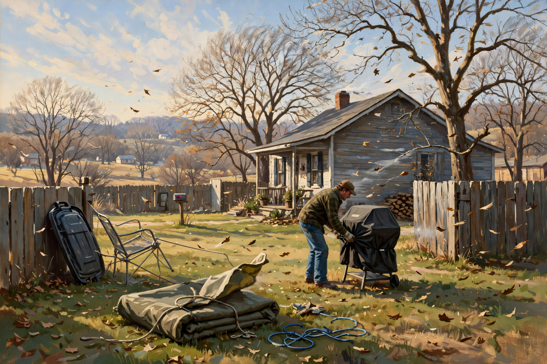
- This morning: Move or strap patio furniture, grill covers, trampolines, empty planters, trash cans, tarps and unsecured ladders before the west wind picks up. Ladders and exterior paint wait; you’re not climbing into 25 mph gusts for caulk.
- After the gusts: Walk the yard for limbs on the roof, gutters and service drops. Snap phone photos of anything that moved or broke before you call an insurer. Note your wind/hail deductible (often a percentage of Coverage A).
- Heat switch-over: Confirm the heat-pump/furnace mode switch works before Saturday night. Test smoke and CO alarms. Keep space heaters 3 feet from anything that burns (NFPA). Check exposed pipes in crawl spaces. Bring pets and tender porch plants in.
What it means for you: Yesterday was the warm work day. Today is secure-and-document. Saturday and Sunday nights are the first nights that feel like winter in the hollows.
👉 Read more (NWS Dunlap forecast) · NWS MRX grid forecast · NFPA heating safety
❄️ Frost Update: Plateau Likely Sunday — Heat Season Starts Now
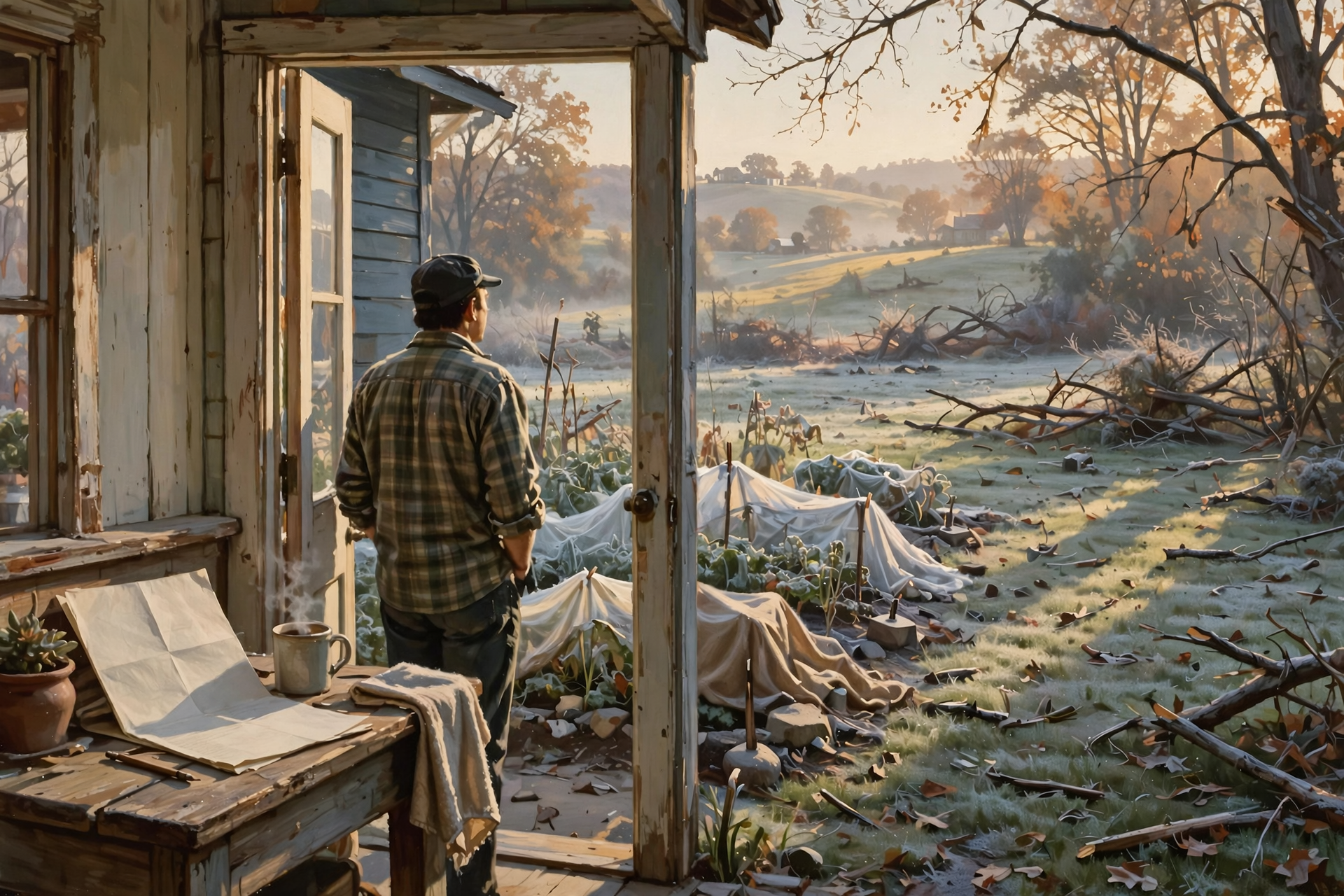
New since yesterday’s edition: NWS Morristown’s key messages put first frost of the season likely on the Plateau Sunday morning. Dunlap’s town forecast shows about 38 at dawn Sunday and about 39 at dawn Monday, with dead-calm air both mornings — the kind of night when cold pools in creek bottoms and hollows run a few degrees colder than town.
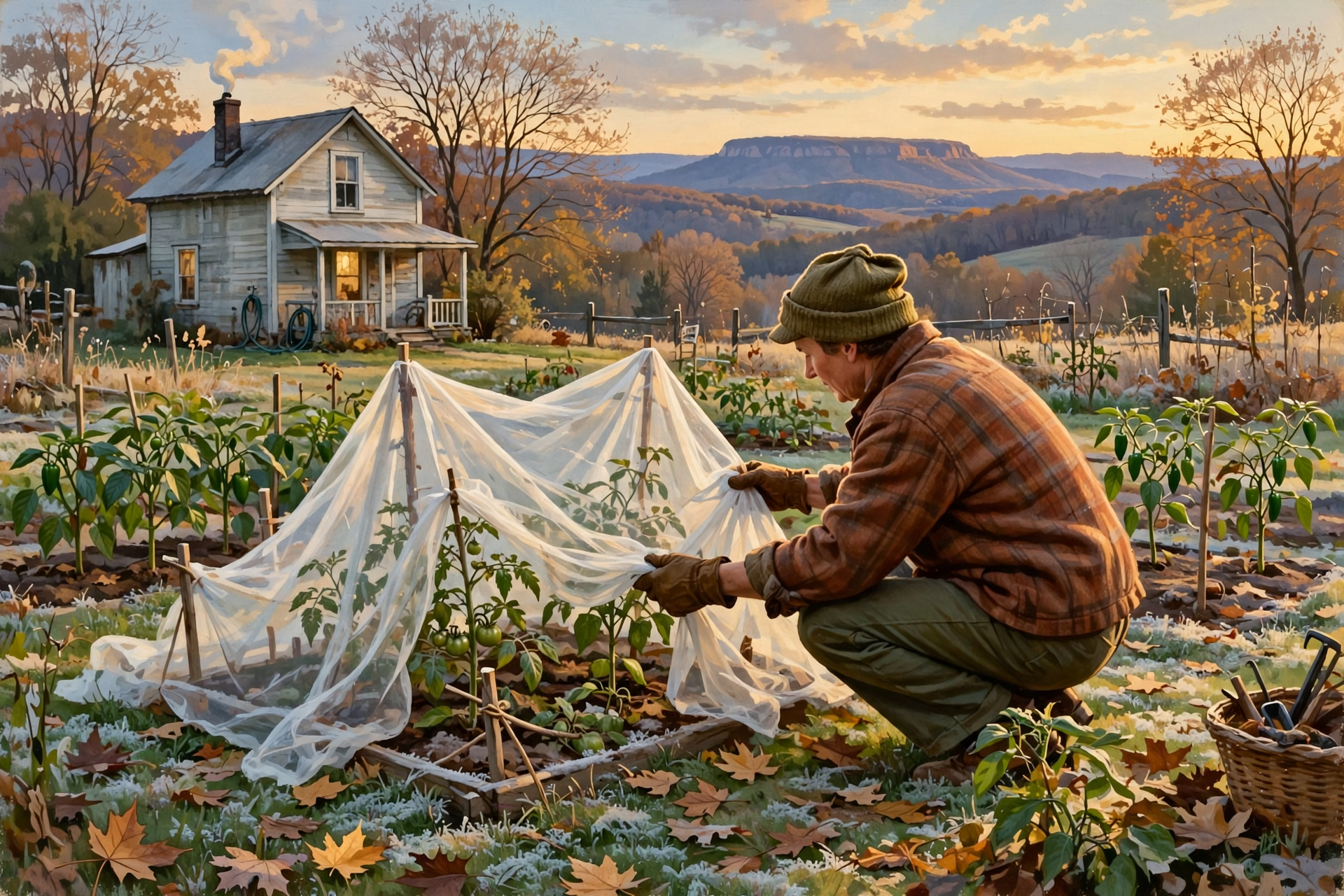
- Cover: Tender plants Saturday evening and again Sunday evening. Take covers off after the sun is up. Prop floating row covers off tomato and pepper tips so the cloth doesn’t rub them raw.
- Hose / spigot (one line): If Tuesday’s drain-and-disconnect note didn’t stick, finish outdoor faucets before the calm cold nights — not a deep dive here.
- Furnace / propane: First real fire of the season for a lot of Valley houses. If the propane tank was light into the weekend, fill before Saturday night’s 38. Listen for odd furnace sounds on the first cold start; change a dirty filter if you’ve been putting it off.
- Fireplace / space heater: Clear the hearth of clutter. Space heaters need that NFPA 3-foot clearance and a working smoke/CO pair on every level.
What it means for you: Lead with frost risk and heat season — not another hose tutorial. Two calm dawns. Cover twice. Heat that actually works beats a pretty thermostat app.
👉 Read more (NWS Morristown HWO) · MRX forecast discussion · NFPA heating safety
📊 Freddie Mac Printed: 7.40% Holds; 15-Year Edges to 6.71%

No more waiting on this morning’s print — it’s out. Freddie Mac’s Primary Mortgage Market Survey as of Oct. 15, 2026:
- 30-year fixed: 7.40% — unchanged from last week.
- 15-year fixed: 6.71% — down from 6.73%.
Refinance and purchase math on the 30-year didn’t move. The 15-year edged down a hair — worth a fresh quote if you’re comparing a shorter term, not a reason to invent a market bottom. PMMS typically prints Thursdays at noon Eastern (~11 a.m. CT); next weekly update is usually next Thursday.
Market pointer (no new methodology piece): Use street-level sold comps and two lender quotes after this print. We are not rehashing last week’s Redfin median dive or inventing a fresh Dunlap median today.
City Hall (one line): Board of Mayor and Commissioners met Thursday, Oct. 15 on Ordinance No. 321 (1466 & 1494 Main Street rezoning) and sludge. Results are still unposted — call City Hall 423-949-2115 if Main Street touches your block. Civic deep dive lives in today’s GenX 1/5.
What it means for you: Shop quotes against 7.40% / 6.71% as of Oct. 15. Don’t lock a story on yesterday’s “still waiting” number.
👉 Read more (Freddie Mac PMMS) · City of Dunlap agendas
🛠️ After the Wind: Photos, Deposits ≤1/3, Licensed Crews

Gusts near 25–30 mph are not a named storm. They are enough to move furniture, stress weak limbs and invite the door-knockers who show up the morning after.
- Document first: Phone photos of roof, siding, fences and sheds before anyone starts temporary repairs. Read the declarations page for the wind/hail deductible.
- Hire slow: Verify the contractor on Tennessee’s public search (search.cloud.commerce.tn.gov / verify.tn.gov path). Written estimate, proof of insurance/bonding, and the permit path before anyone climbs a ladder.
- Deposit cap: Tennessee caps home-improvement deposits at no more than one-third of the contract price in the common consumer framing — don’t hand over half “to hold the crew” to a truck you met this morning. (Storm door-knocker deep dive lives in today’s Boomers money edition.)
- Heating help for parents (one line): If Mom or Dad is staring at a thin propane tank and a fixed income, SETHRA LIHEAP is still the local starting number — 423-949-2191.
- Utility outage tip: If wind drops a limb on a line, treat it as live. Report via your co-op’s outage path (Sequachee Valley Electric Cooperative: svalleyec.com) and stay clear until crews clear it.
What it means for you: Photo, then call. Verify, then deposit. The cold front is on the calendar; the unlicensed truck is optional.
👉 Read more (TN Verify Public Search) · TN Board for Licensing Contractors · SETHRA housing & energy · SVEC
🔥 Burn Permits, Drought Loans, and the Quiet Week Ahead
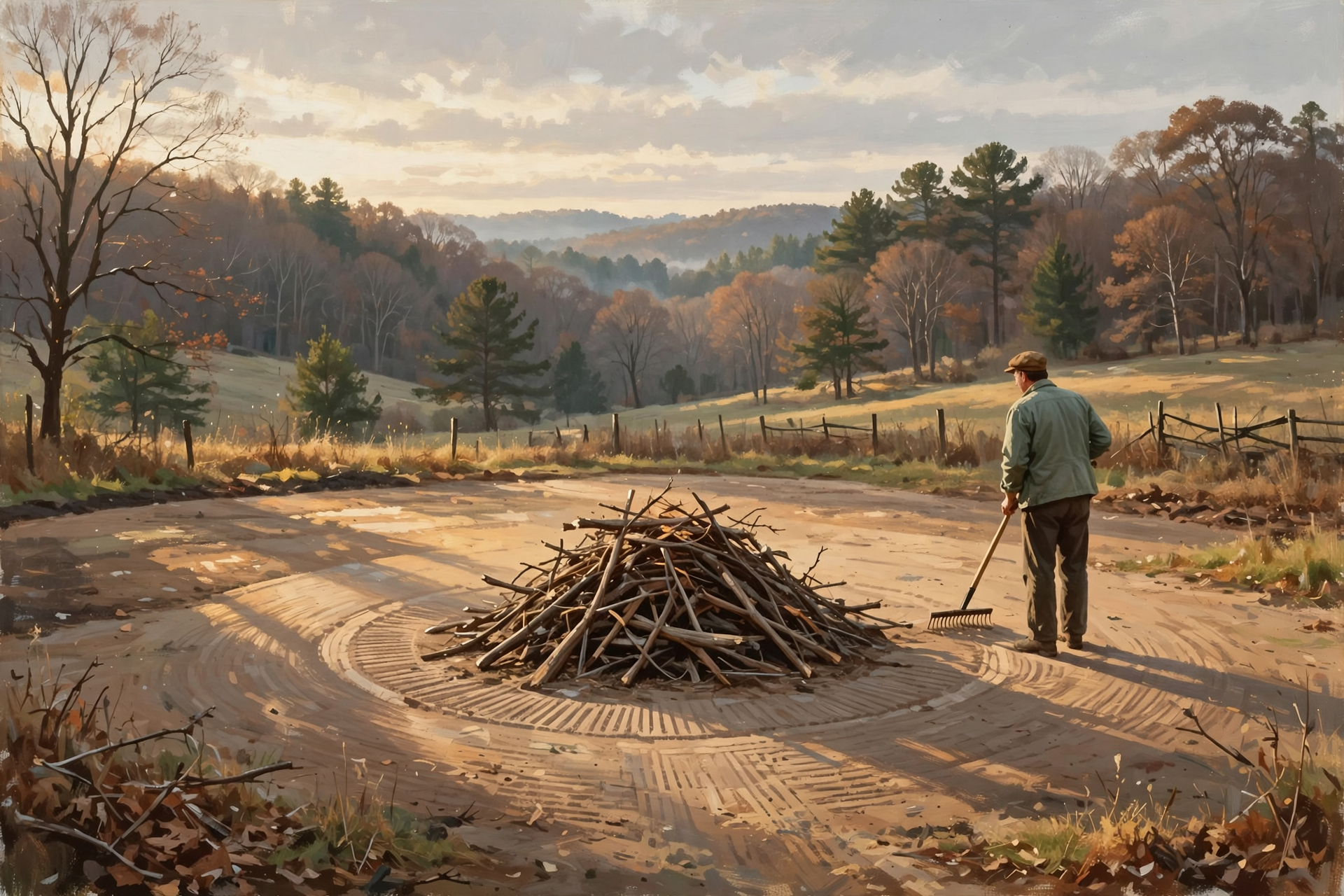
Burning: Free same-day permits are required (BurnSafeTN.org or 1-877-350-BURN). Do not burn Friday or Saturday with gusts near 25–30 mph. Forecast shows nearly calm wind Sunday through Thursday — mornings are the window. Rake a bare-dirt ring, keep piles small, stay with the fire, and have it cold by midnight. Inside Dunlap city limits, check with City Hall first.
Drought / FSA (one line for landowners): U.S. Drought Monitor map valid Oct. 13 still shows Sequatchie County in moderate drought (D1; a slice in D2). Sequatchie and Marion remain in USDA drought emergency-loan designations with deadlines of Dec. 10, 2026 and Jan. 6, 2027 — call your local USDA Service Center; don’t invent eligibility.
Still on the fridge: Sequatchie 2026 taxes interest-free through Feb. 28, 2027. Statewide tax relief for qualifying elderly/disabled via Trustee 423-949-2526 (income cap $38,470 for those categories — details in yesterday’s edition). Greenbelt record-by March 15 (Assessor 423-949-3534). Sequatchie has no over-65 tax freeze; Bledsoe does.
What it means for you: Calm mornings for the brush pile. One phone call if drought pinched the farm. Don’t let Feb. 28 sneak up while you’re staring at frost covers.
👉 Read more (BurnSafeTN) · TN burn permits · U.S. Drought Monitor · Sequatchie tax lookup
📅 Week-Ahead Home & Property Calendar (Fri., Oct. 16 – Fri., Oct. 23)
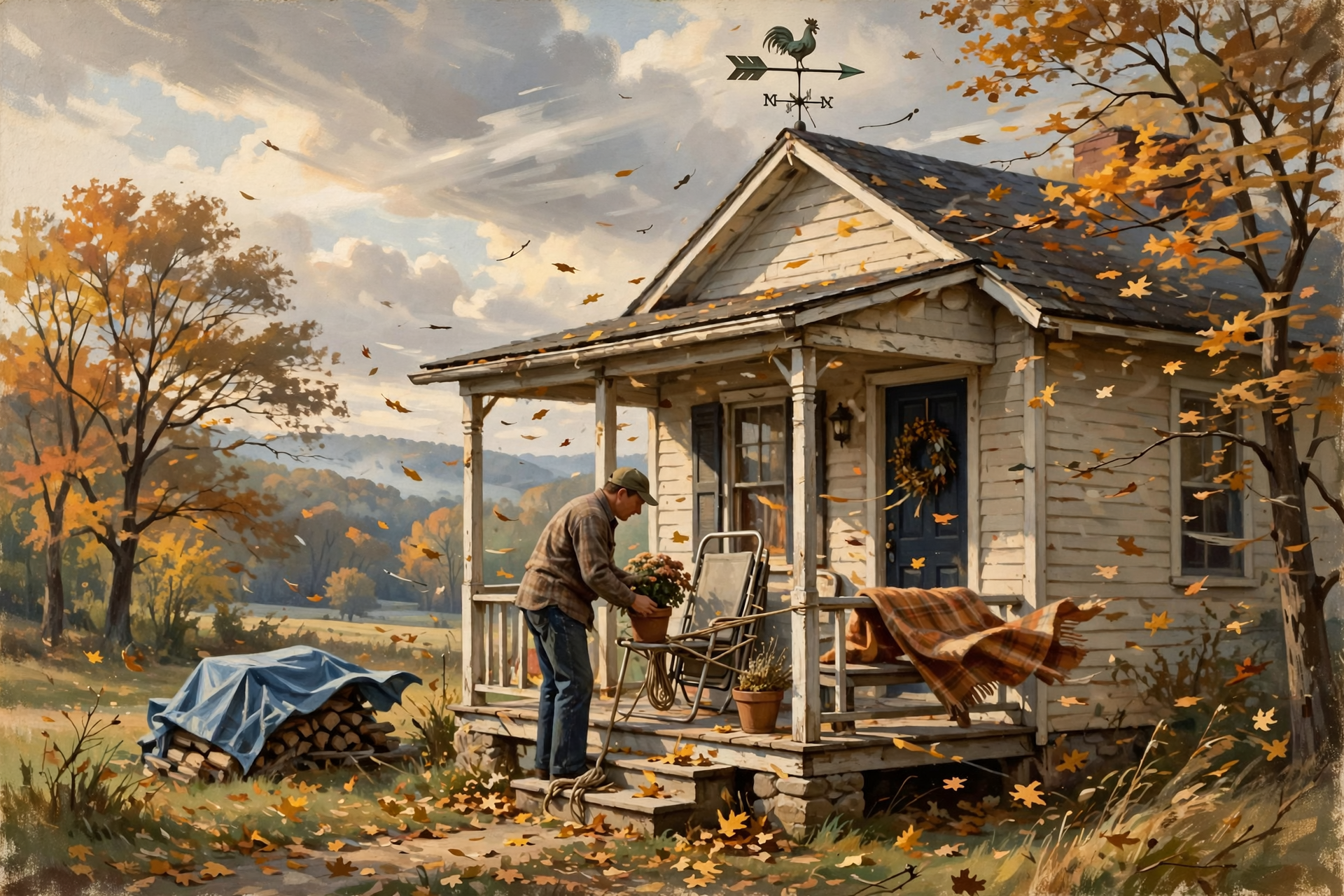
- Fri., Oct. 16: High near 80 → ~62 aft. Gusts near 25 (night near 30). Secure loose items this morning. Poor burn day. Propane/furnace check before tonight.
- Sat., Oct. 17: High near 60, gusts near 25. Low near 38. Cover tender plants before dark. Heat mode switch, pets/plants in, crawl-space pipes.
- Sun., Oct. 18: Dawn ~38, sunny near 66, calm. Plateau frost likely. Good morning to burn with a same-day permit. Cover again Sunday evening (~39).
- Mon., Oct. 19: Dawn ~39, sunny near 69. Walk for drafts after the cold nights. Post-wind limb check if you haven’t.
- Tue.–Thu., Oct. 20–22: Quieter rebound (highs near 74–77). Compare lender quotes to Oct. 15 Freddie print. Next PMMS typically Thursday ~11 a.m. CT. New Drought Monitor map usually Thursday.
- Fri., Oct. 23: Plan the next exterior window once nights stay out of the upper 30s.
- Still open: Taxes interest-free through Feb. 28, 2027. Tax relief after the bill via Trustee. Greenbelt record-by March 15. FSA drought loans Dec. 10 & Jan. 6.
👉 NWS forecast · Freddie Mac PMMS · Dunlap City Hall
✅ Your Gen X Home, Property & Real Estate Checklist
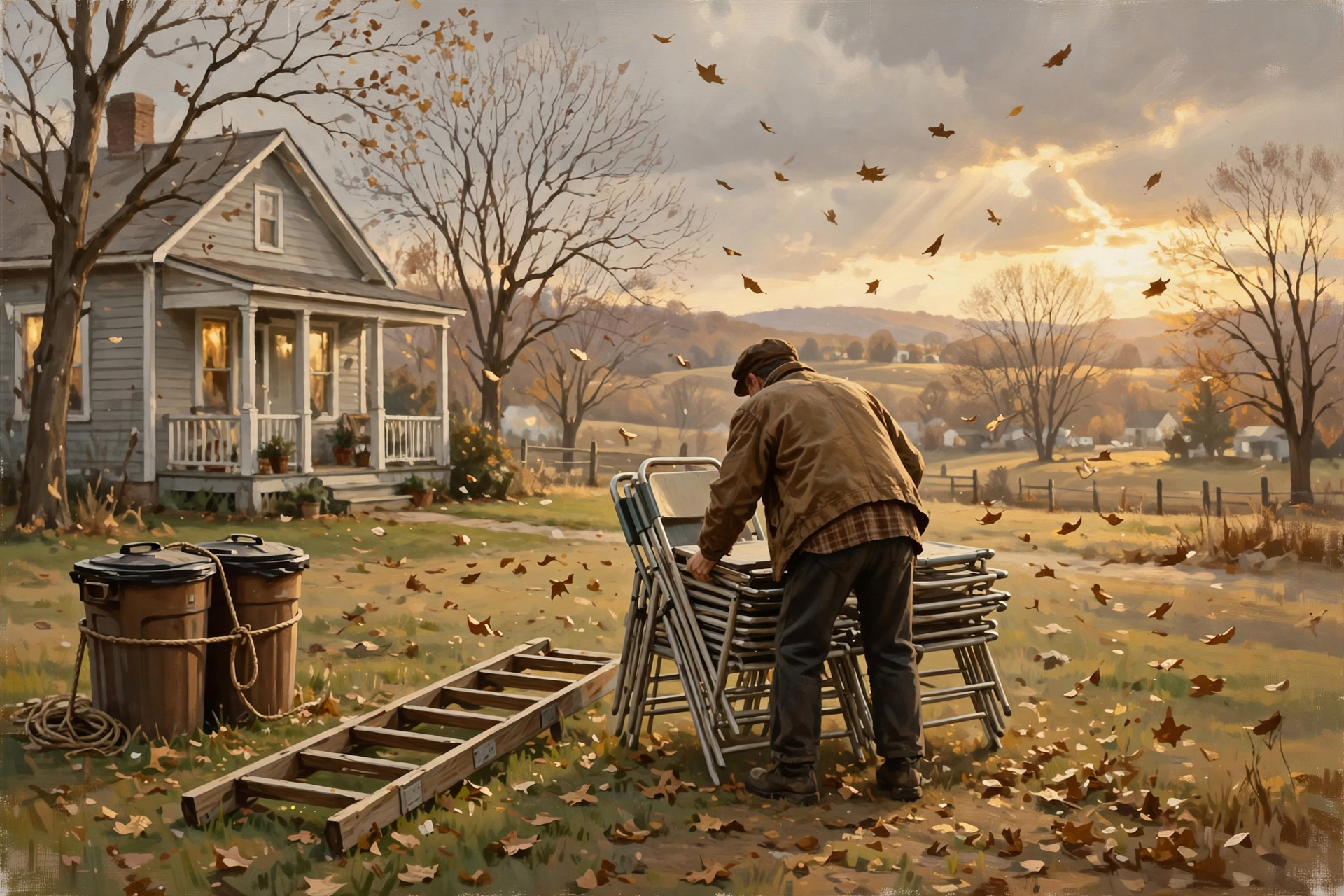
- ✅ This morning: strap/move patio furniture, ladders, trash cans, tarps before gusts ramp.
- ✅ After wind: walk roof/lines for limbs; photo damage before insurer or contractor calls.
- ✅ Sat night ~38 / Sun night ~39: cover tender plants both evenings; heat mode, smoke/CO, crawl-space pipes, pets/plants.
- ✅ Furnace first-fire / propane fill if the tank is light; space heaters 3 feet clear (NFPA).
- ✅ Burn only with a same-day permit — not Fri–Sat wind; calm mornings Sun–Thu (BurnSafeTN / 1-877-350-BURN).
- ✅ Mortgage shopping: use Freddie Mac as of Oct. 15 — 7.40% / 6.71%; get two lender quotes.
- ✅ Roof/exterior hire? Verify license at search.cloud.commerce.tn.gov; deposit ≤1/3; written estimate + insurance before work.
- ✅ Aging parents heating help: SETHRA LIHEAP 423-949-2191 (one call). Tax relief still via Trustee 423-949-2526.
- ✅ Ord. 321 outcomes still unposted — City Hall 423-949-2115 if Main Street touches you.
- ✅ Property taxes interest-free through Feb. 28, 2027; greenbelt record-by March 15; FSA drought deadlines Dec. 10 & Jan. 6 for landowners.
Practical rule: Secure before the gusts, cover for the calm cold dawns, and shop the mortgage number that actually printed — 7.40% / 6.71% as of Oct. 15.
— Dunlap.Today
📚 Plain-English Home & Property Glossary

- Cold front: The leading edge of cooler, drier air — often gusty wind and a quick temperature drop.
- Frost: Ice crystals that form on clear, calm, cold nights — often in low spots even when the official low is in the upper 30s.
- Plateau: Higher ground above the Valley (Walden Ridge / Cumberland Plateau) that usually cools first.
- PMMS: Freddie Mac’s weekly national average mortgage-rate survey, released Thursdays at noon ET.
- Wind/hail deductible: Often a percentage of dwelling coverage, not a small flat dollar amount — read the declarations page.
- Burn permit (TN): Free same-day authorization required for open debris burning Oct. 15–May 15 (BurnSafeTN / 1-877-350-BURN).
- Deposit cap (home improvement): Tennessee consumer framing commonly limits deposits to one-third of the contract — verify before you pay.
- LIHEAP: Low Income Home Energy Assistance Program — local entry point via SETHRA for heating help.
- Drought Monitor: Weekly national map rating dryness from D0 (abnormally dry) through D4.
- Verify Public Search: Tennessee Commerce tool to check contractor licenses (search.cloud.commerce.tn.gov).
❓ Frequently Asked Questions
Is the wind today or tomorrow?
Today. NWS Dunlap shows west gusts as high as 25 mph this afternoon and north gusts as high as 30 tonight. Saturday still has north gusts near 25. Secure this morning — not “sometime this weekend.”
Will it frost in Dunlap this weekend?
Possibly in low spots. Town forecast shows about 38 at dawn Sunday and 39 at dawn Monday with calm air. NWS Morristown says first frost is likely on the Plateau Sunday morning. Cover tender plants both evenings to be safe.
What did Freddie Mac print?
As of Oct. 15, 2026: 30-year fixed 7.40% (unchanged), 15-year 6.71% (down from 6.73%). Next weekly print is typically next Thursday around 11 a.m. CT.
Can I burn brush this weekend?
Not Friday or Saturday if gusts stay near 25–30 mph. Sunday through Thursday look nearly calm — get a same-day permit at BurnSafeTN.org or 1-877-350-BURN and burn in the morning.
City Hall — what happened with Ord. 321?
They met Thursday. Results are still not posted online. Call 423-949-2115 if 1466/1494 Main Street rezoning touches your property. Full civic coverage is in today’s GenX local-news edition.
Where do aging parents start for heating help?
SETHRA LIHEAP at 423-949-2191 is the local starting number. For property tax relief (separate from LIHEAP), call the Sequatchie Trustee at 423-949-2526.
🔗 Other Resources

- National Weather Service: Dunlap forecast
- NWS Morristown Hazardous Weather Outlook
- Freddie Mac: Primary Mortgage Market Survey
- BurnSafeTN burn permits
- TN Verify Public Search (contractor licenses)
- TN Board for Licensing Contractors
- NFPA: Heating safety
- SETHRA: Housing & energy assistance
- Sequachee Valley Electric Cooperative
- U.S. Drought Monitor
- Sequatchie County: Pay or look up property taxes
- City of Dunlap: Government / agendas
- Dunlap.Today
🏡 Secure the Morning, Cover the Cold Dawns, Shop the Real Rate
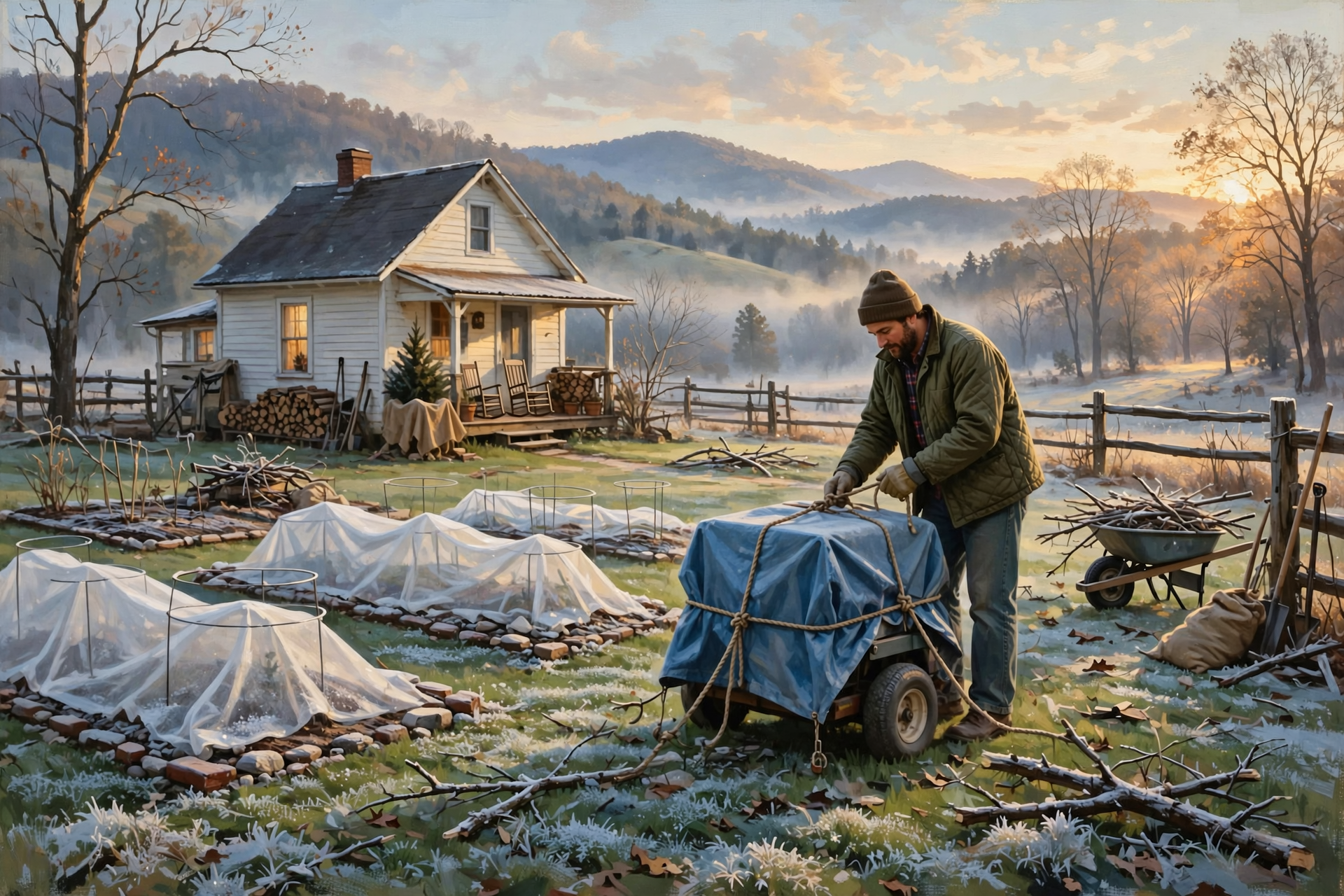
The warm window closed. Today’s job is simpler: tie down what’s loose, walk the property after the wind, cover the garden for two calm cold nights, and use the Freddie Mac number that actually printed. When you want the next calm, practical home update for Sequatchie Valley readers, pull up a chair at Dunlap.Today.
Sources
Know about an upcoming event or story in the Sequatchie Valley? Submit it here.




0 Comments