

🏆 Chattanooga Hits a Record 92, Burn Season Opens Today, and Saturday Night Dips to 38: Your Weather & Outdoors Ahead
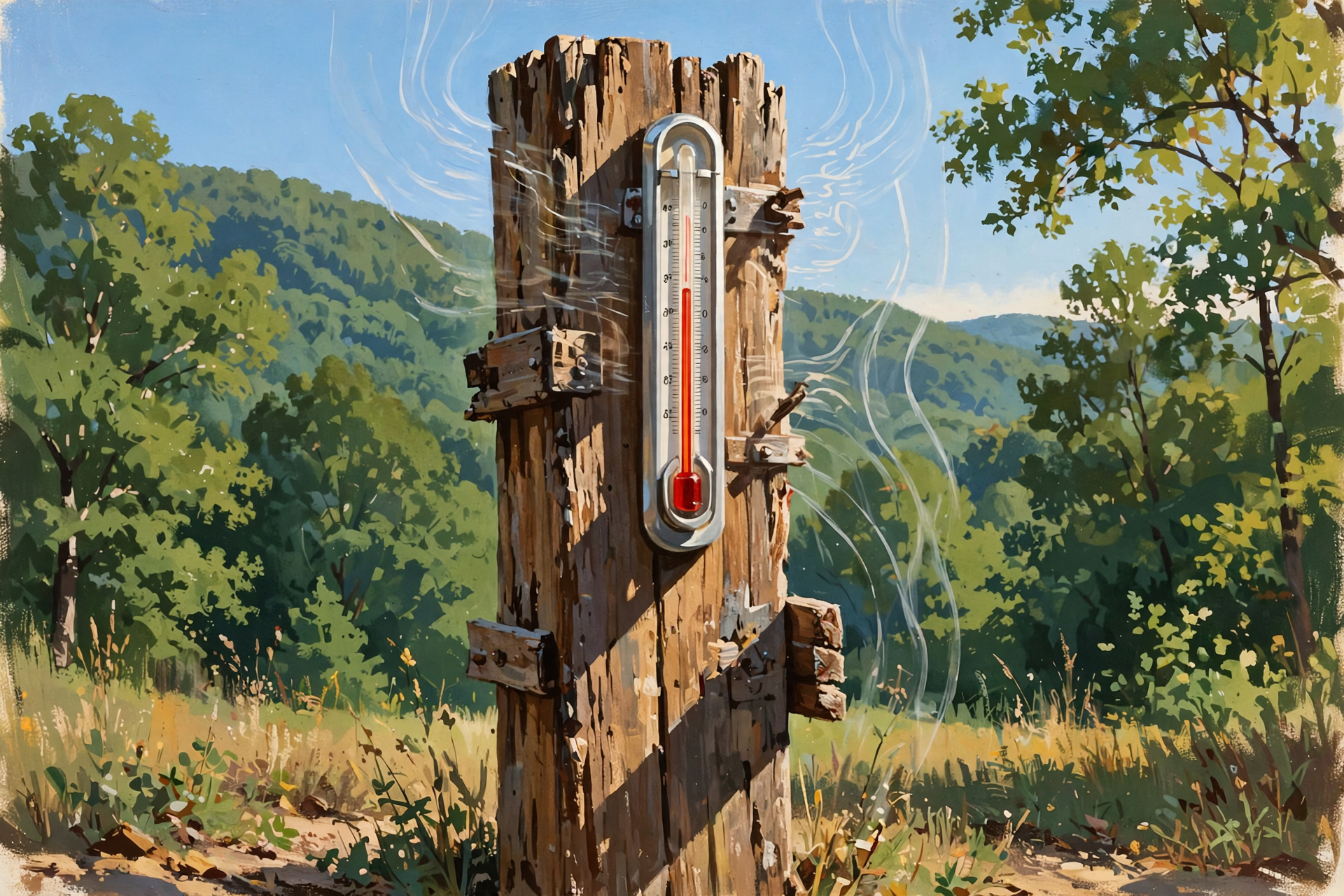
Or: One Last Summer Afternoon, a Calm Day to Burn, a Breezy Friday Front and the Coldest Night of the Fall So Far
By Thomas Seest, Dunlap.Today · Thursday, October 15, 2026
This week has been like a summer houseguest who keeps saying “I’ll head out tomorrow.” Well, tomorrow is finally Friday. Today is the last hot afternoon, and by Saturday night we’ll be pulling the quilts out of the cedar chest.
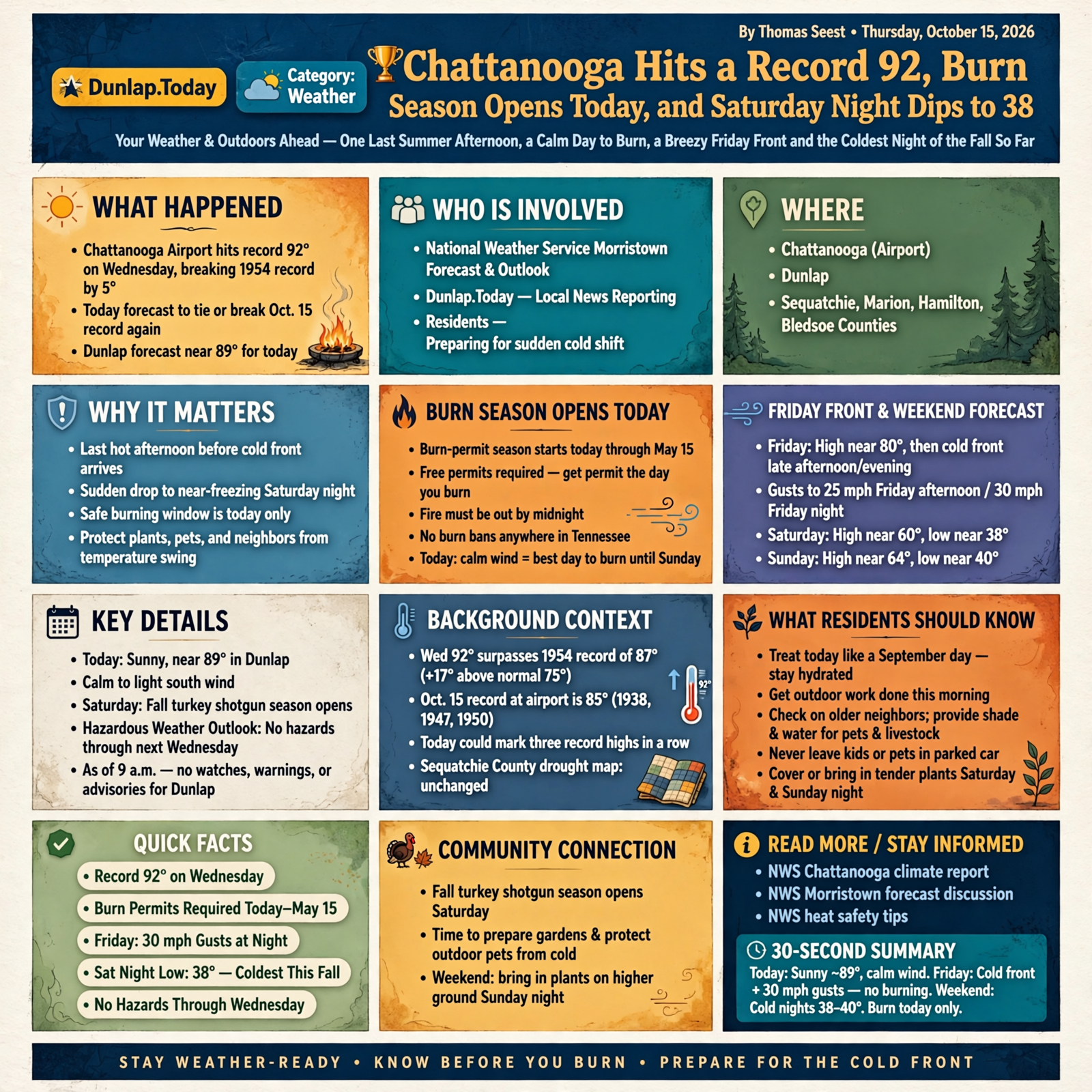
Here’s what’s new as of Thursday morning. Chattanooga’s airport hit a record 92 degrees on Wednesday, topping a 1954 record by five degrees. National Weather Service Morristown expects another record-breaking or record-tying high today, with Dunlap forecast near 89. Burn-permit season starts today, there are no burn bans anywhere in Tennessee, and today’s calm wind makes it the best burning day until Sunday. Friday’s cold front now arrives late afternoon or early evening, with gusts up to 30 mph Friday night. The weekend trended a little colder overnight: Dunlap’s Saturday-night low is now 38, and Sunday night is down to 40. Today’s new drought map shows Sequatchie County unchanged, and fall turkey shotgun season opens Saturday. Thursday’s Hazardous Weather Outlook expects no hazardous weather for Sequatchie, Marion, Hamilton or Bledsoe counties through next Wednesday, and as of 9 a.m. there were no watches, warnings or advisories for Dunlap.
⏱️ What this means for you in 30 seconds
- Today: Sunny and near 89 in Dunlap, with calm to light south wind. A normal high for today in Chattanooga is 75.
- Burning: Free permits are required starting today through May 15. Get it the day you burn, and have the fire out by midnight.
- Friday: High near 80, then the front. Gusts to 25 mph in the afternoon and 30 mph Friday night. Not a burning day.
- Weekend: Saturday high near 60, Saturday night near 38, Sunday near 64, Sunday night near 40.
- Plants: Cover or bring in tender plants Saturday evening, and again Sunday night on higher ground.
🏆 Wednesday Broke a Record by Five Degrees, and Today May Do It Again
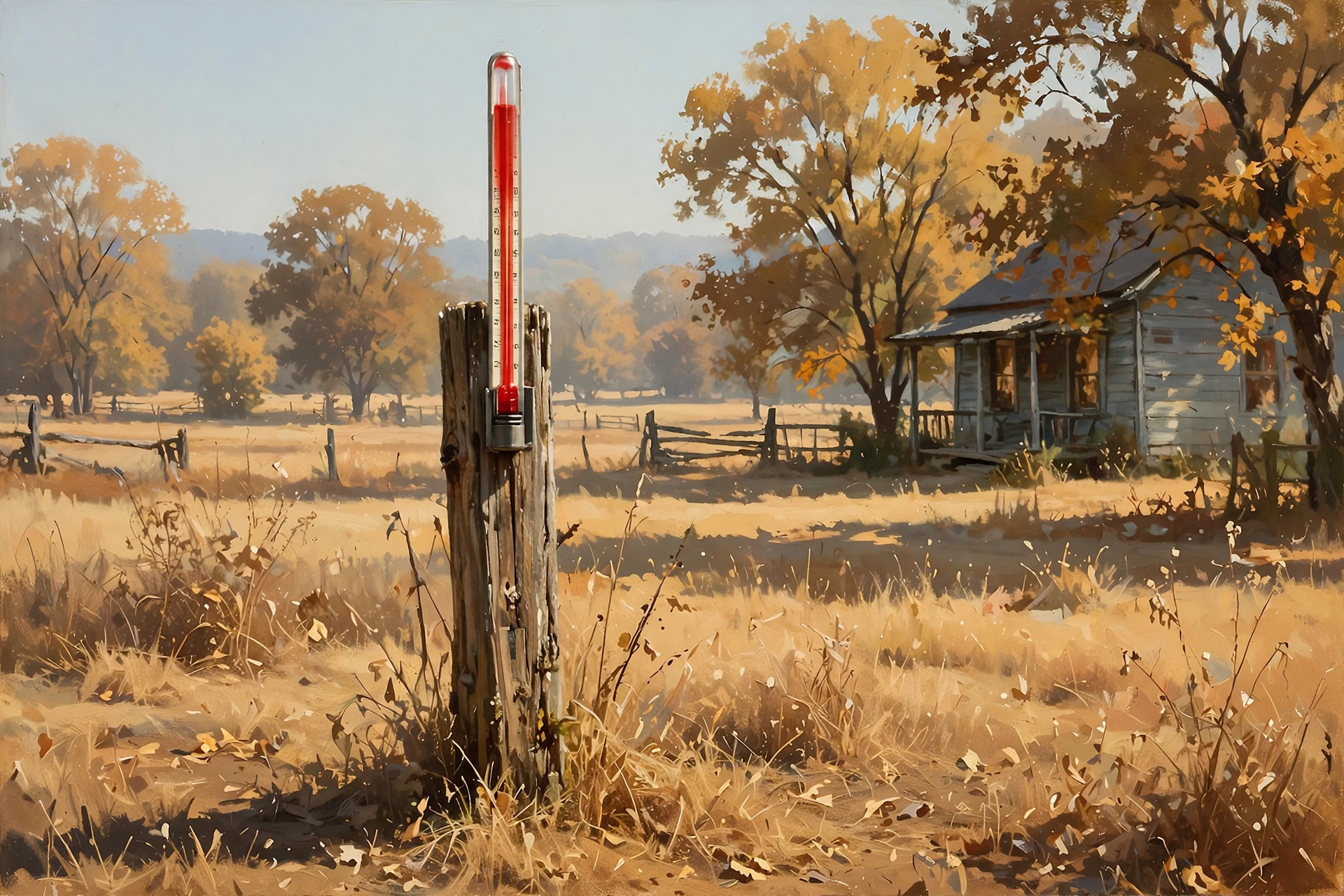
The Weather Service’s official climate report shows Chattanooga’s airport reached 92 degrees Wednesday afternoon. The old Oct. 14 record was 87, set in 1954, and the normal high for that date is 75, so Wednesday ran 17 degrees above normal. Morristown forecasters noted that Chattanooga and the Tri-Cities both set records Wednesday, on top of Chattanooga’s record 90 on Tuesday.
Today could make it three in a row. The Oct. 15 record at the airport is 85, shared by 1938, 1947 and 1950, and the airport’s forecast is 90. Forecasters wrote Thursday morning that “all three climate sites are forecast to break or tie the record high today.” Dunlap’s forecast, updated at 6:05 a.m., is sunny with a high near 89, then a clear, calm night near 63. Dunlap doesn’t have an official record station, but we’re under the same warm air.
What it means for you: Treat this afternoon like a September day. Get the outdoor work done this morning, drink water before you’re thirsty, and take it easy from about 1 to 5 p.m. Check on older neighbors, and keep fresh water and shade handy for pets and livestock. Never leave kids or pets in a parked car. The good news: this is the last hot one. The air conditioner may get the weekend off.
👉 Read more (NWS Chattanooga climate report) · NWS Morristown forecast discussion · NWS heat safety tips
🔥 Burn Season Opens Today: Permits, No Bans, and the Best Hours
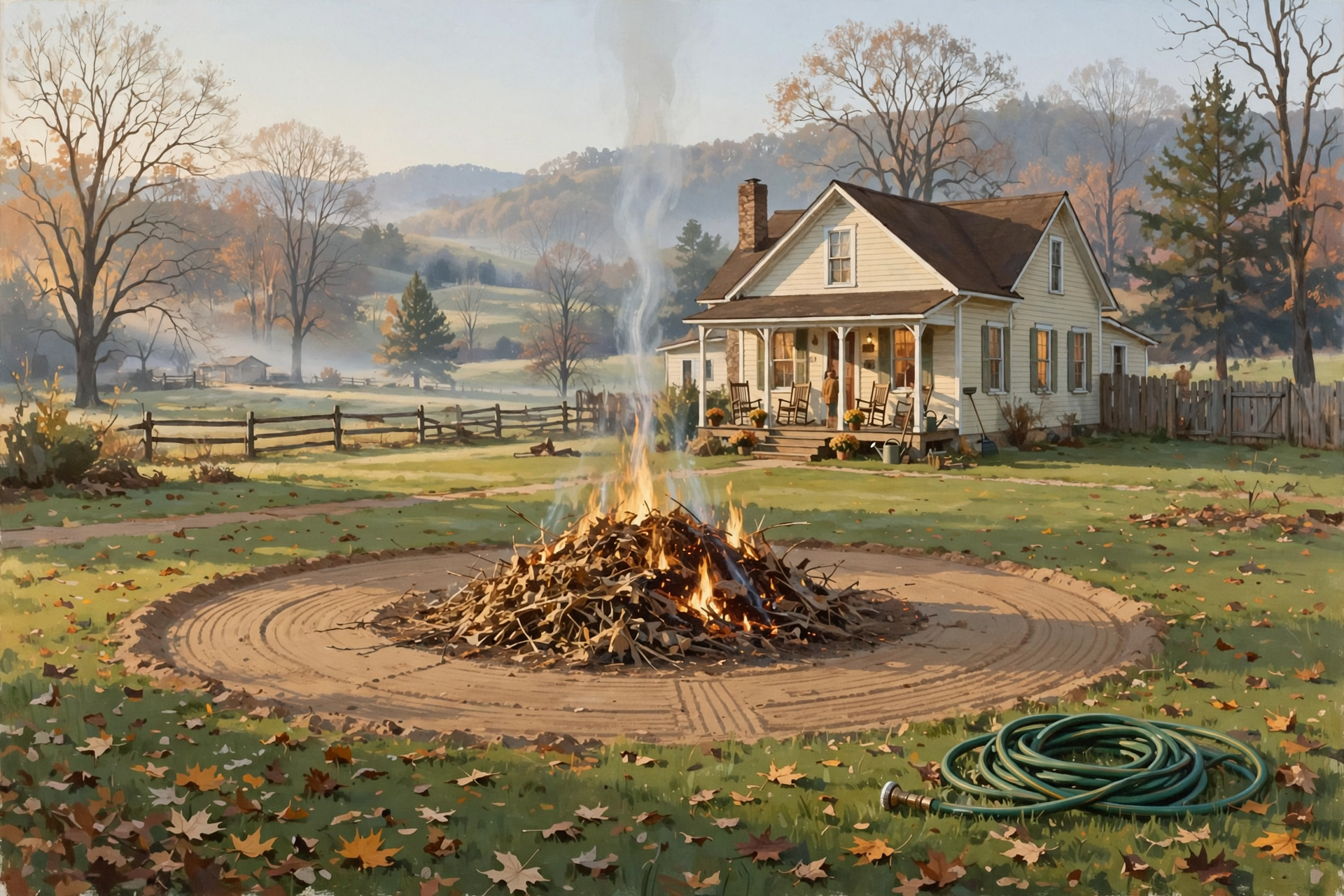
Starting today, Oct. 15, and running through May 15, the Tennessee Division of Forestry requires a free burn permit to burn leaf piles, brush or other natural debris. The state’s burn-ban page says there are currently no active burn bans in Tennessee. Here’s the short version:
- Get it the same day. A permit is good for one day, and the fire must be completely out by midnight.
- Where: Online at BurnSafeTN.org or in the MyTN app, seven days a week starting at 8 a.m. Or call 1-877-350-BURN (2876), Monday through Friday, 8 a.m. to 4:30 p.m. Central. Phone lines get busy, so the state suggests going online.
- No permit needed for grilling, campfires or a burn barrel with a half-inch mesh screen on top.
- Burning without a permit is a Class C misdemeanor, and you can only burn natural material, never trash.
- Burning wooded land? The state says to tell the neighbors next to you at least two days ahead.
- Town rules come first. If you live inside city limits, check with your city before you burn.
“More than 90% of wildfires in Tennessee are caused by human activities, including escaped debris burns,” State Forester Heather Slayton said in the state’s wildfire-season announcement. Tennessee averages about 1,000 wildfires a year.
What it means for you: Today’s calm wind makes it a good day to burn, but the heat makes it a hard day to stand next to a fire. The state says mornings and early evenings are usually best, when winds are calmer and the air is damper. So burn this morning or after supper, keep the pile small, and add to it as it burns down. Rake a bare strip at least 3 feet wide around the pile (5 feet if it’s tall grass or brush), keep a hose and rake close, and stay with it until it’s cold. Skip Friday and Saturday. Sunday’s forecast has a calm wind, so check for a permit that morning.
👉 Read more (Tennessee burn permits) · Tennessee burn-ban status · State wildfire-season announcement
🌬️ Friday’s Front: Warm Start, Windy Finish

Morristown now expects the cold front to cross the Tennessee Valley in the late afternoon or early evening Friday. Here’s Dunlap’s updated forecast:
- Friday: Increasing clouds, high near 80. South wind 5 to 15 mph turning northwest in the afternoon, gusts to 25 mph.
- Friday night: Mostly cloudy, low near 45. Northwest wind 10 to 15 mph, gusts to 30 mph.
- Saturday: Mostly sunny, high near 60 (down from 63 in Wednesday’s forecast). North wind, gusts to 20 mph.
- Sunday through Wednesday: Sunny, highs near 64, 68, 70 and 74.
Rain chances stay low here. Forecasters say the best chance of showers is in Southwest Virginia, Northeast Tennessee and along the mountains, and that thunder chances are low. Dunlap’s forecast doesn’t mention rain, and the Chattanooga airport has just a 10% chance.
What it means for you: Friday will feel like two different days. It’ll be warm and pleasant at lunch, then breezy and cooler by suppertime. Before Friday afternoon, tie down or bring in patio umbrellas, trampolines, light porch furniture and inflatable fall decorations. If you’re headed to a Friday night ballgame, take a jacket. It’ll turn cooler and gustier as the game goes on.
👉 Read more (Dunlap 7-day forecast) · NWS Morristown forecast discussion
🥶 The Weekend Chill Trended Colder: 38 Saturday Night, 40 Sunday Night
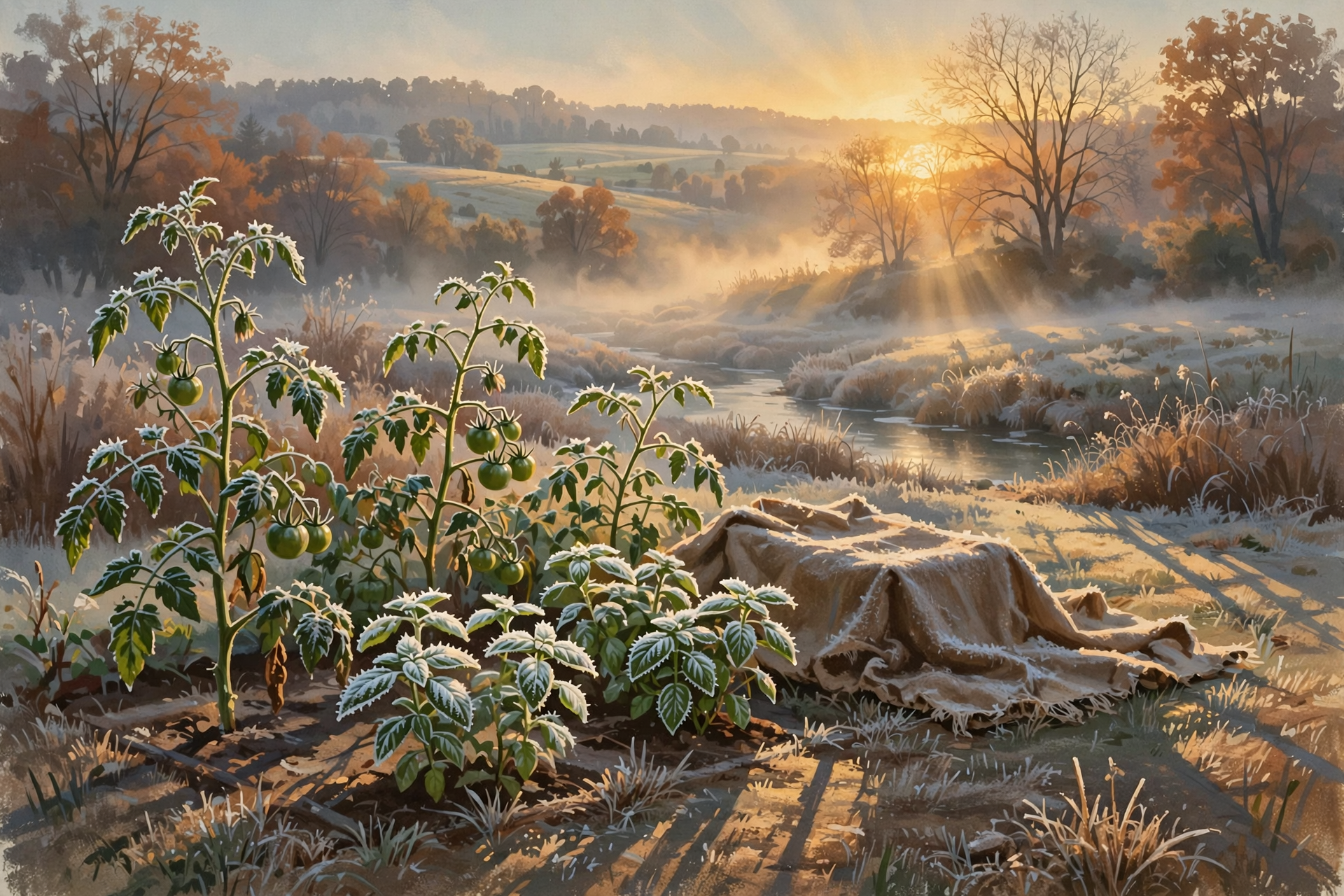
Thursday’s forecast nudged both weekend nights colder. Dunlap’s Saturday-night low is now 38 under mostly clear skies (it was 39 Wednesday), and Sunday night is now near 40 (it was 44). Morristown’s key message is simple: “Frost is possible Saturday night, and to a lesser extent on Sunday night.” They expect the coldest spots to be in Southwest Virginia, Northeast Tennessee and the higher elevations.
Dunlap’s forecast doesn’t use the word “frost,” but cold air slides downhill and settles into creek bottoms and low fields on clear, calm nights. Our neighbors up on the plateau sit higher, too.
What it means for you: Going from 89 this afternoon to 38 on Saturday night is a 51-degree drop, like walking out of the hay barn and into the deep freeze. Pick the last tomatoes, peppers, squash and basil by Saturday afternoon. Bring hanging baskets and pots onto the porch or into the garage Saturday evening, and cover in-ground plants with an old sheet or blanket, not plastic touching the leaves. Take the covers off Sunday morning once the sun’s up, and put them back Sunday night if you’re on high ground or in a low spot. Run the furnace or space heater for a few minutes Friday so the dusty smell is gone before you need it, and make sure pets and chickens have a snug spot.
👉 Read more (NWS Morristown frost guidance) · Dunlap forecast
💧 Today’s New Drought Map: Sequatchie Holds Steady, Hamilton Improves
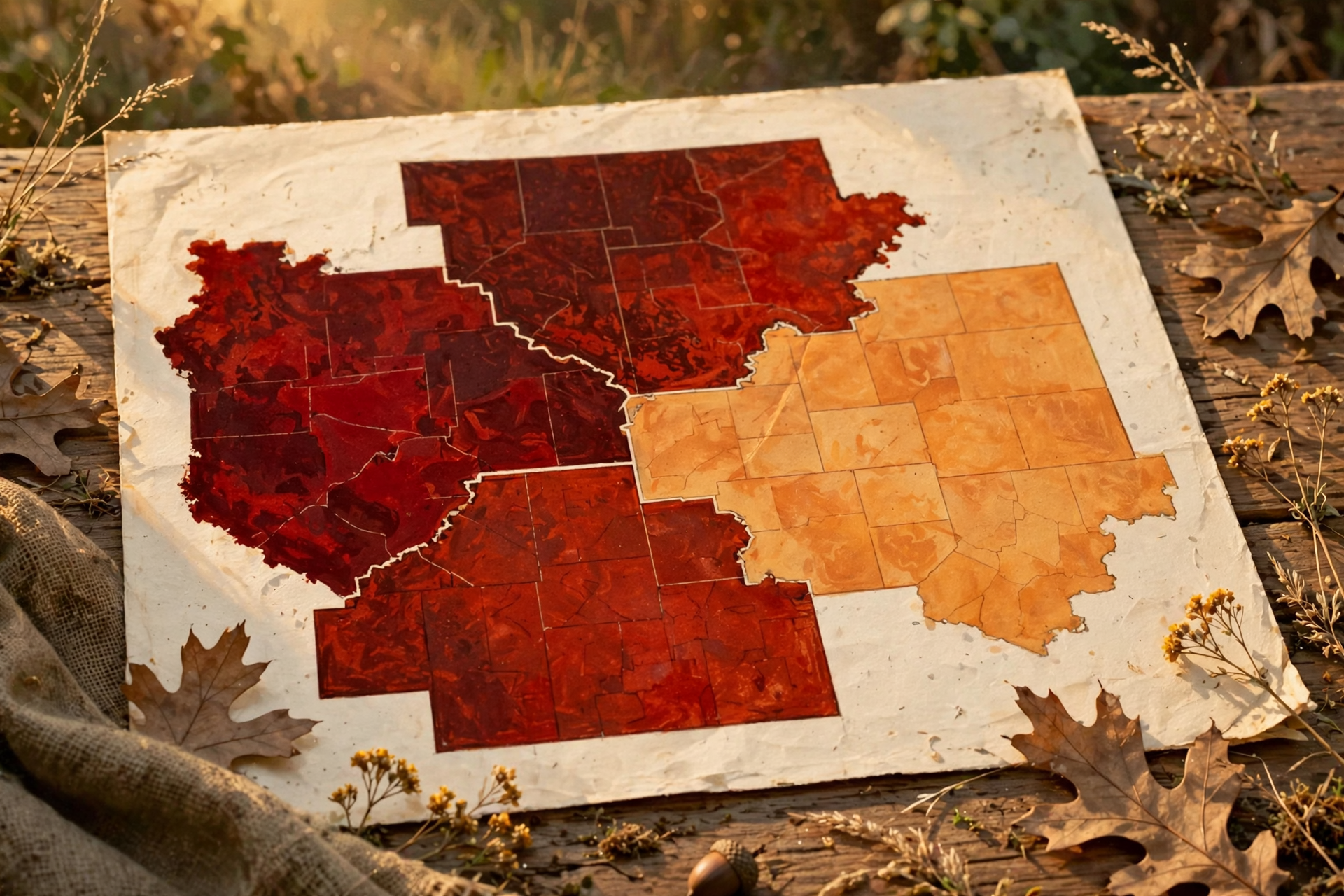
The U.S. Drought Monitor released a new map this morning, using data through Tuesday, Oct. 13. It’s the first map to count the weekend rain, and here’s how our area looks:
- Sequatchie County: No change. All of the county is in moderate drought, and about 6% is in severe drought.
- Marion County: Nearly all in moderate drought, with about 19% severe, the same as last week.
- Hamilton County: Better. The moderate-drought area shrank from about half the county to about 10%.
- Bledsoe County: About a third in moderate drought, nearly unchanged.
Chattanooga’s airport has had 2.71 inches of rain so far in October, more than the normal 1.65 for this point in the month. But since Sept. 1, it’s still about 2.5 inches behind, and the next week looks dry.
What it means for you: The rain was like one good paycheck after a lean month. It helps, but the bills aren’t caught up yet. Give new trees, shrubs and fall gardens a deep drink this morning before the heat. Keep water troughs topped off, and keep an eye on ponds and creeks your animals use. Dry leaves and dry ground are also why careful burning matters this time of year.
👉 Read more (U.S. Drought Monitor, Tennessee) · Chattanooga rainfall totals
🦃 Turkey Opener Saturday, and When Our Leaves Will Peak
The statewide fall turkey shotgun/archery season opens Saturday, Oct. 17, and runs through Oct. 30, according to TWRA. Archery-only fall turkey has been open since Sept. 26. The fall bag limit is one male turkey, with no bearded hens, and you can’t carry archery equipment and a shotgun or rifle at the same time. Sequatchie, Marion, Bledsoe and Hamilton counties are all open. Also open right now: archery deer (through Oct. 30), squirrel, grouse, the second dove segment (through Nov. 1) and Canada geese (through Oct. 22). The Young Sportsman deer hunt for ages 6 to 16 is Oct. 31 to Nov. 1.
Saturday’s opener should be crisp and bright: mostly sunny, starting in the 40s and reaching about 60, with a north breeze gusting to 20 mph. In Chattanooga, Saturday’s sunrise is about 7:49 a.m. Eastern (6:49 Central). Dunlap runs within a minute or two of that.
For leaf lookers, one online foliage tracker updated this morning says the Great Smoky Mountains are at peak right now. It puts Sequatchie, Bledsoe and Hamilton counties’ peak around Oct. 28 to Nov. 3, and Marion County around Nov. 4 to 8. It also says this fall is running about six days late because of the warm September.
What it means for you: Dress in layers Saturday. You’ll start cold and end comfortable. Wear blaze orange when you’re moving through the woods, even when it’s not required. If you get a bird or a deer during today’s heat, cool it down fast. For color, a Smokies drive this weekend would catch peak up high. Closer to home, save your drive up the plateau for the last few days of October.
👉 Read more (TWRA hunting seasons summary) · Tennessee fall foliage tracker
✅ Your Thursday-to-Sunday Checklist

- ✅ Thursday morning: Do outdoor work early, water plants deeply and top off troughs.
- ✅ Thursday (today): Burn permits begin. Get yours the same day at BurnSafeTN.org, in the MyTN app, or at 1-877-350-2876. Burn in the morning or evening, and have the fire out by midnight.
- ✅ Thursday afternoon: Rest in the heat, drink water and check on older neighbors.
- ✅ Friday morning: Tie down umbrellas, trampolines and light decorations. Test the furnace or heater. Don’t burn.
- ✅ Friday night: Bring a jacket to the ballgame. Gusts could reach 30 mph.
- ✅ Saturday: Fall turkey shotgun season opens. Wear layers.
- ✅ Saturday afternoon: Pick the last of the garden. Bring pots in and cover tender plants before dark.
- ✅ Sunday: Uncover plants once the sun is up. If you want to burn, check for a permit that morning. Cover plants again Sunday night on high ground.
Practical rule: Burn on the calm days, batten down on the windy one, and tuck the plants in on the cold ones.
— Dunlap.Today
📚 Plain-English Weather Glossary
- Daily record high: The warmest temperature ever measured on that date at an official station. Chattanooga’s airport records go back to 1879.
- Tied record: When the temperature matches the old record exactly. The Weather Service counts a tie as a record.
- Cold front: The leading edge of cooler, drier air. Friday’s brings wind and a big drop in temperature, but little or no rain here.
- Gust: A quick burst of wind, stronger than the steady wind. A 30 mph gust can move lawn furniture and carry embers.
- Frost: Ice crystals that form on grass, cars and plants on clear, calm nights. It can form even when the official low is in the upper 30s, especially in low spots.
- Burn permit: A free, one-day permit from the Tennessee Division of Forestry, required Oct. 15 through May 15 to burn leaves or brush outdoors.
- Burn restriction vs. burn ban: A restriction means the state stops issuing permits for a while. A ban is stricter and stops nearly all outdoor fires, even campfires and grills. Neither is in place right now.
- Moderate drought (D1): The Drought Monitor’s first drought level. Severe drought (D2) is the next step up.
❓ Frequently Asked Questions
Did Chattanooga really break another record?
Yes. The airport hit 92 on Wednesday, beating the Oct. 14 record of 87 from 1954. That came a day after a record 90 on Tuesday. Today’s record is 85, and the forecast is 90, so a third record in a row is likely.
Do I need a permit to burn today?
Yes. Starting today, Oct. 15, you need a free permit from the Tennessee Division of Forestry to burn leaf or brush piles. Get it the same day, and have the fire out by midnight. Grills, campfires and burn barrels with a half-inch mesh screen don’t need one.
Is there a burn ban?
No. The state says there are currently no active burn bans in Tennessee. The state can still pause permits on windy, dry days, and cities can have their own stricter rules.
When is the best time to burn this week?
Today’s morning or evening, when it’s calm and cooler, or Sunday, when the wind is forecast to be calm. Skip Friday and Saturday because of the gusty wind.
Will it frost in Dunlap this weekend?
Maybe in spots. Dunlap’s forecast low is 38 Saturday night and 40 Sunday night. Forecasters expect frost mainly northeast of us and at higher elevations, but low spots and the plateau can run colder. Cover or bring in tender plants Saturday night to be safe.
Is any severe weather expected?
No. Thursday’s Hazardous Weather Outlook expects no hazardous weather through next Wednesday, and as of 9 a.m. there were no watches, warnings or advisories for Dunlap.
Did the rain help the drought?
In Hamilton County, yes. In Sequatchie County, not on paper yet. Today’s map still shows all of Sequatchie County in moderate drought, and Chattanooga is about 2.5 inches behind on rain since Sept. 1.
🔗 Other Resources

- National Weather Service: Dunlap forecast
- National Weather Service Morristown
- Morristown Hazardous Weather Outlook
- Chattanooga daily climate report
- BurnSafeTN: free burn permits
- Tennessee burn permit information
- Tennessee burn-ban status
- U.S. Drought Monitor: Tennessee
- TWRA hunting seasons summary
- Sequachee Valley Electric Cooperative outages
🌤️ One More Warm Afternoon, Then Sweater Weather
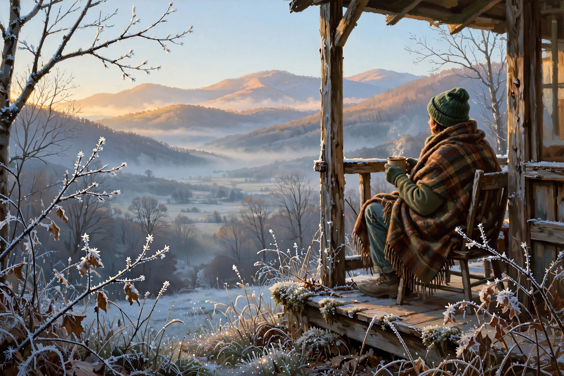
There’s nothing in this forecast to lose sleep over. There are no storms, no watches and no burn bans, just one more record-flirting afternoon, a breezy Friday front and the first truly cold night of fall. Work early, burn on a calm day with a permit, tie down what can blow, and tuck the plants in Saturday night. Then pour a cup of coffee, grab a blanket, and enjoy that first chilly sunrise from the porch.
We’ll keep watching the sky so you don’t have to. Read Dunlap.Today for calm, practical weather in plain English.
Sources
Know about an upcoming event or story in the Sequatchie Valley? Submit it here.



0 Comments