

🌡️ Near-Record Heat Midweek, Then a Breezy Friday Flip to Frost Weather: Your Weather & Outdoors Ahead
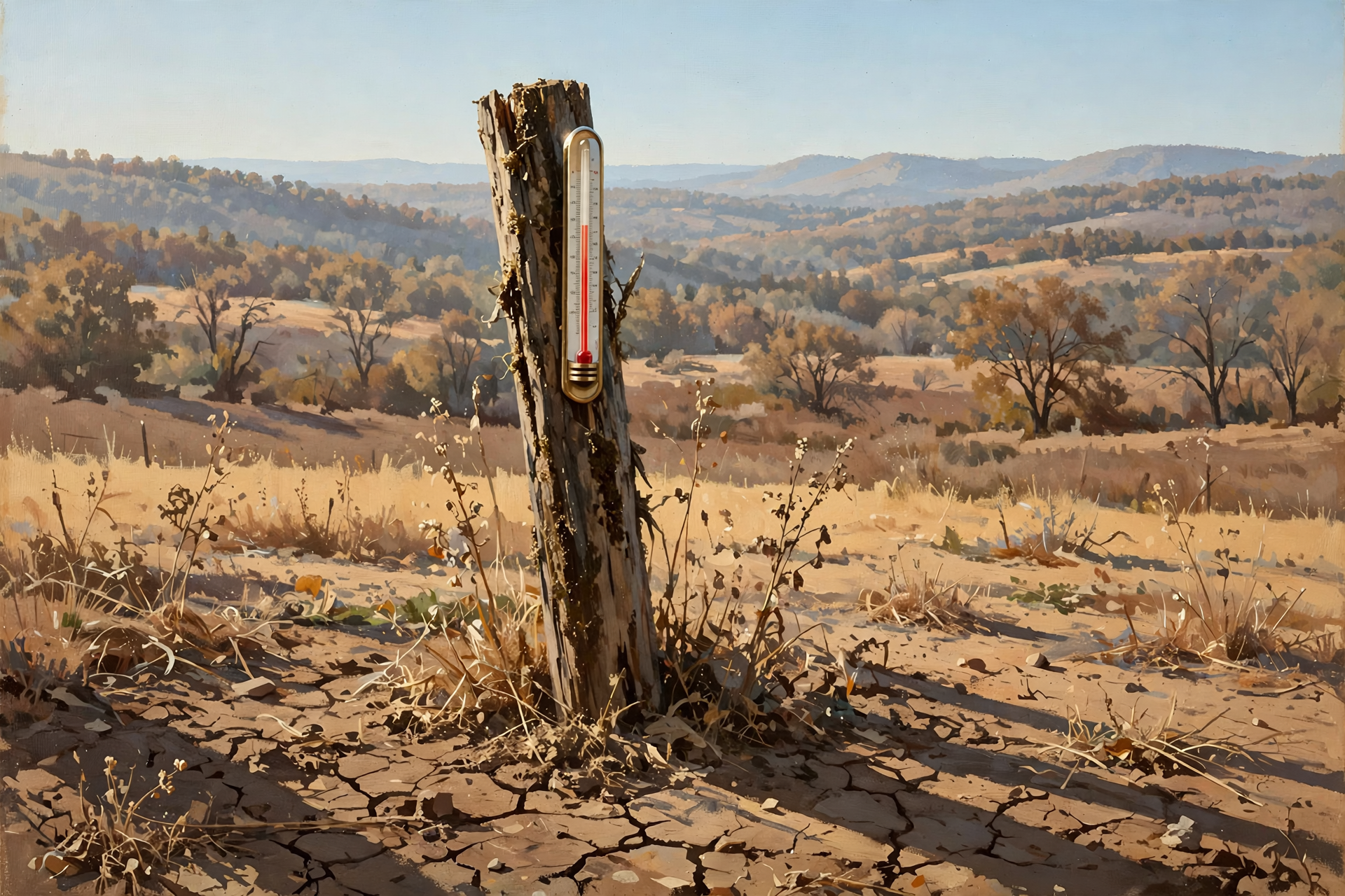
Or: Upper-80s Through Thursday, Burn Permits Start Thursday, and a Weekend That Says “Bring the Ferns In”
By Thomas Seest, Dunlap.Today · Tuesday, October 13, 2026
October in the Valley this week is like a church potluck where somebody brought a July casserole: it’s good, but it doesn’t quite match the calendar. Then on Friday the dessert table shows up, and it’s all jackets and hot cider.
Here’s what’s new as of Tuesday morning. National Weather Service Morristown now says this week’s three hot days could be flirting with daily record highs, and Dunlap’s forecast is near 87 to 88 through Thursday. Burn permits start Thursday, Oct. 15 (a quick correction: we said Wednesday on Monday). Friday’s front turns breezy, with gusts up to 25 mph, so it’s a poor day to burn. Forecasters have also moved widespread frost potential this weekend into their top messages. On top of that, the ground is still dry, and there’s something new in the woods for hunters and leaf-lookers. Tuesday’s Hazardous Weather Outlook expects no hazardous weather for Sequatchie, Marion, Hamilton or Bledsoe counties, and as of mid-morning there were no watches, warnings or advisories for Dunlap.
⏱️ What this means for you in 30 seconds
- Heat: Sunny, near 87 Tuesday and 88 Wednesday and Thursday in Dunlap. A normal mid-October high in Chattanooga is about 75.
- Fog: Morning fog should fade by mid-morning. Dunlap’s forecast doesn’t mention fog for tonight.
- Burning: Free permits are required starting Thursday, Oct. 15. Skip burning on breezy Friday.
- Weekend: Friday night near 44, Saturday high near 65, Saturday night near 40, Sunday near 70, Monday near 75.
- Plants: Plan to bring tender plants in Saturday night. Friday and Sunday nights are chilly too.
🌡️ Records Within Reach: Three Hot Days, Then Relief
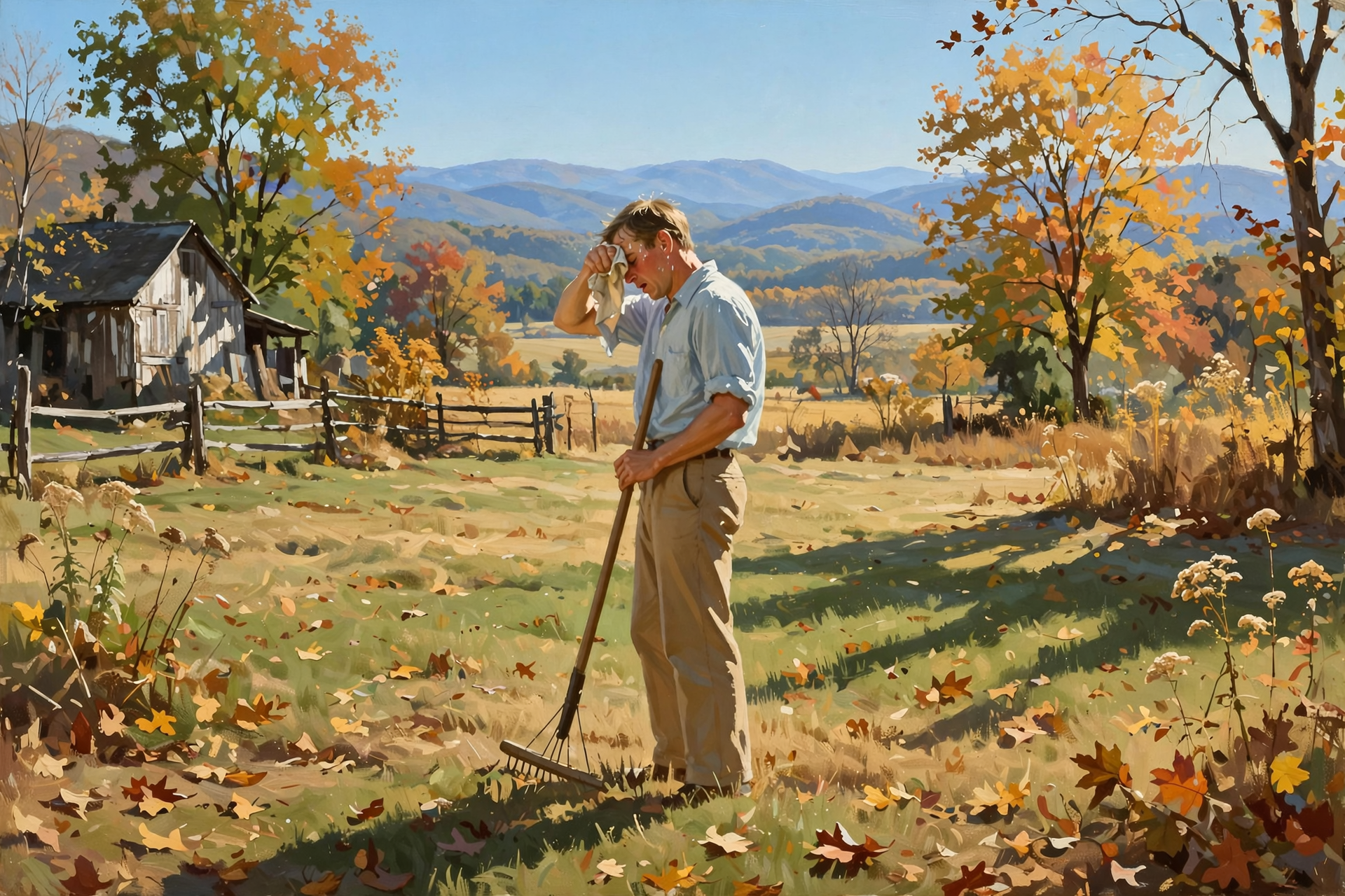
Dunlap’s National Weather Service forecast, updated at 6:06 a.m. Tuesday, calls for sunny skies and a high near 87 today, 88 Wednesday and 88 Thursday, with clear nights in the low 60s and calm to light southwest winds. Morristown forecasters wrote that a “summer strength upper ridge” is parked over the southern U.S., and that temperatures “will be flirting with daily record highs during the middle of the week.”
For a yardstick, here are the Chattanooga records forecasters listed: 88 for Oct. 13 (set in 1954), 87 for Oct. 14 (1954) and 85 for Oct. 15 (1950). Chattanooga’s airport forecast is 87 today and 89 Wednesday, so Wednesday’s record could fall. Those are Chattanooga numbers, not Dunlap’s, but the Valley is sitting under the same warm air. Forecasters also see a small chance of a stray shower Thursday afternoon, mostly over the higher terrain. Dunlap’s forecast stays sunny.
What it means for you: Treat the afternoons like early September. Do the heavy yard and farm work in the morning after the fog lifts, take water breaks, and check on older neighbors who may not expect heat in October. Never leave kids or pets in a parked car, even for a quick stop. Make sure livestock and pets have shade and plenty of fresh water. And here’s the good part: the heat has an end date. Friday cools off, and the weekend is downright crisp.
👉 Read more (NWS Morristown forecast discussion) · NWS heat safety tips · Chattanooga October normals and records
🌫️ Fog Is Loosening Its Grip
Morristown’s Tuesday key messages led with “areas of fog this morning,” and Chattanooga’s airport was still reporting fog with a quarter-mile visibility just before 9 a.m. Central. The good news is that forecasters expect the sun to burn off the shallow fog as the day goes on. Dunlap’s forecast doesn’t mention fog for tonight or Wednesday morning, and the main overnight fog risk in their aviation outlook is far up in the Tri-Cities.
What it means for you: Fog is a lot like a sleepy teenager: it’s slow to get moving in the morning, but it’s gone by lunch. If you hit a foggy patch on the way to work or school, slow down, use your low-beam headlights, and leave extra room for the car ahead. Any patchy fog that shows up in low spots near creeks should lift quickly after sunrise.
👉 Read more (NWS fog driving safety) · Dunlap point forecast
🔥 Burn Permits Start Thursday, and Friday Is a Wait-and-See Day
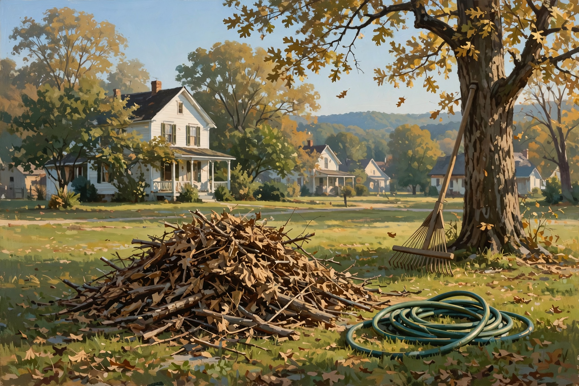
A quick correction from Monday: Oct. 15 is Thursday, not Wednesday. Starting Thursday, the Tennessee Division of Forestry requires a free burn permit to burn leaves or natural debris anywhere in the state. You must get it the same day you plan to burn, from BurnSafeTN.org or the MyTN app, between 8 a.m. and 4:30 p.m. local time. If you don’t have internet, you can call 1-877-350-BURN (2876), Monday through Friday, 8 a.m. to 4:30 p.m. Central. If you live inside city limits, check with your town for extra rules.
The Division says permits are issued only when fire danger is acceptable. On days with high winds, very low humidity or very dry brush, it pauses permits. Friday fits that description: Dunlap’s forecast calls for northwest winds of 10 to 15 mph that morning, with gusts up to 25 mph, behind a front that forecasters say brings “little, if any” rain.
What it means for you: A breezy day and a brush pile go together like a toddler and a glass of tea: something’s going to spill. If you plan to burn, Thursday’s calm, sunny weather is the better bet. Get the permit that morning, keep a hose or rake handy, and stay with the fire until it’s cold. Better yet, save the pile for a calm day next week. It won’t go anywhere.
👉 Read more (Tennessee Division of Forestry) · Tennessee burn permits
🏜️ The Ground Is Still Thirsty
The latest U.S. Drought Monitor map, from Oct. 6, shows all of Sequatchie County in moderate drought, with about 6% in severe drought. That’s a little better than the week before, when about 9% was severe. Marion County is also entirely in drought, but its severe area shrank from about 62% to about 19% in a week. Morristown forecasters expect a “below average precipitation stance for the foreseeable future.” The next Drought Monitor map comes out Thursday, and it will be the first to count the weekend’s rain.
What it means for you: Think of the ground as a dry sponge. One good soaking helps, but it takes more than one. During this hot stretch, give new trees, shrubs and fall gardens a deep drink in the morning, top off water troughs, and check ponds and creeks that livestock rely on. Dry leaves and dry ground are another reason to be careful with outdoor fire this week.
👉 Read more (U.S. Drought Monitor, Tennessee)
🥶 Frost Moves Up the List: Bring Plants In Saturday Night
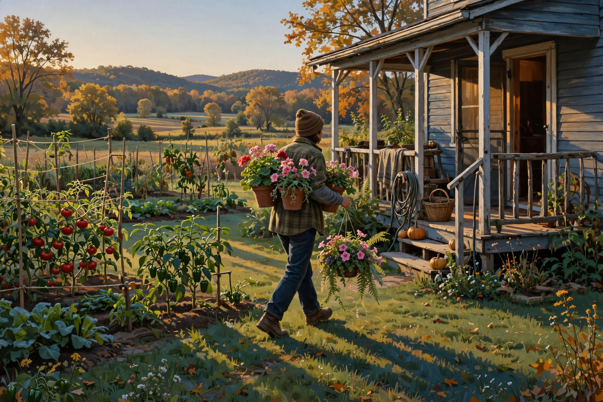
This is Tuesday’s biggest change. Morristown has moved “widespread frost potential for this weekend” into its top messages, and it advises: “Consider bringing frost sensitive plants indoors.” The forecast discussion says to bring them in “definitely for Saturday night,” and to consider Friday and Sunday nights too, especially farther north.
Dunlap’s updated numbers:
- Friday: Mostly sunny, high near 81, turning breezy. Friday night low around 44.
- Saturday: Sunny, high near 65. Saturday night low around 40.
- Sunday: Sunny, high near 70. Sunday night low around 44.
- Monday: Mostly sunny, high near 75.
Dunlap’s point forecast doesn’t use the word “frost,” and 40 is a few degrees above the usual frost range. But low spots along the valley floor and creek bottoms often run colder than the forecast on clear, calm nights.
What it means for you: A 48-degree drop from Thursday afternoon to Saturday night is like jumping from the bathtub into the creek. Pick the last tomatoes, peppers and squash you care about by Saturday afternoon. Bring hanging baskets and potted plants onto the porch or into the garage Saturday evening, and cover anything in the ground with an old sheet or blanket (not plastic touching the leaves). Take the covers off Sunday morning. Give the furnace or space heater a quick test Friday, before you need it.
👉 Read more (NWS Morristown frost guidance) · Dunlap 7-day forecast
🦆 In the Woods and on the Ridges: What’s Open Now
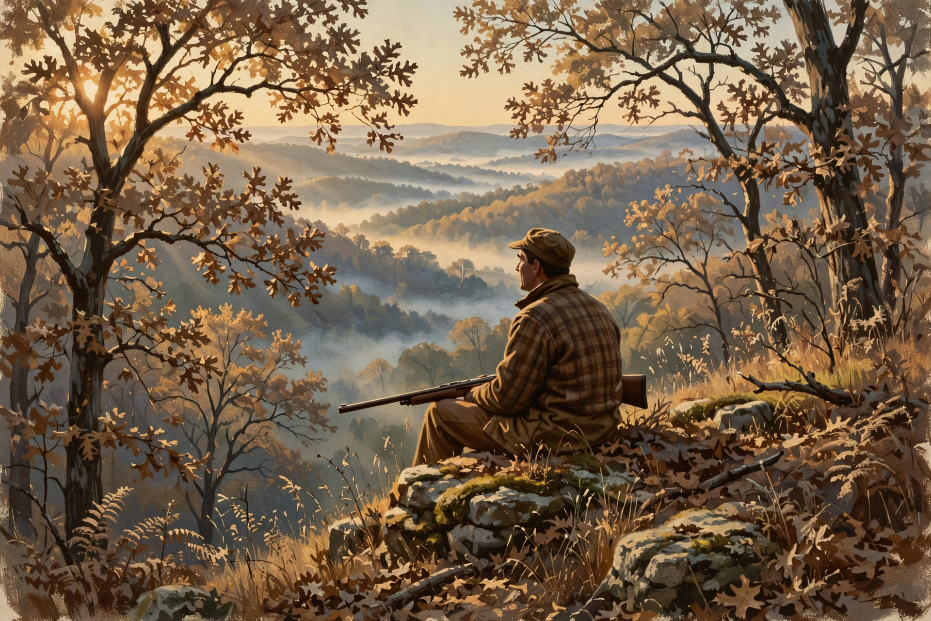
The fall turkey shotgun/archery opener on Saturday, Oct. 17 gets most of the attention. But several other Tennessee seasons quietly opened Saturday, Oct. 10, according to TWRA’s statewide season summary:
- Dove (second segment): Oct. 10 to Nov. 1, daily bag of 15. A Tennessee Migratory Bird Permit is required.
- Canada goose: Oct. 10 to 22, daily bag of 3.
- Grouse: Oct. 10 through Feb. 28, daily bag of 3.
- Coming up for families: The Young Sportsman deer hunt is Oct. 31 to Nov. 1 for ages 6 to 16. They must be with a non-hunting adult who is 21 or older.
As for leaves, there’s a regional heads-up. A Tennessee Division of Forestry staffer in the Upper Cumberland told The UCNow this month that heat and dry weather sent many leaves “straight to brown” and that a great color season there is unlikely. In the Smokies, the high country is at or past peak, while the lower valleys are still mostly green. Our ridges are lower and later, so the color here is still a few weeks off and may be a little more muted this year.
What it means for you: Hunt the cool hours this week. Afternoons in the upper 80s are hard on hunters and on harvested game, so get meat cooled quickly. Saturday’s opener should be the most comfortable sit of the season so far. For leaf-looking, plan a drive up the plateau in the next couple of weeks, and enjoy whatever color the drought left us.
👉 Read more (TWRA hunting seasons summary) · Upper Cumberland foliage outlook · Smokies fall color update
✅ Your Tuesday-to-Sunday Checklist
- ✅ Tuesday–Thursday: Do outdoor work in the morning, drink water, and take breaks in the afternoon heat.
- ✅ Check on older neighbors and make sure pets and livestock have shade and fresh water.
- ✅ Water new plantings and fall gardens deeply in the morning. The ground is still dry.
- ✅ Thursday, Oct. 15: Burn permits begin. Get the free permit the same day at BurnSafeTN.org, in the MyTN app, or by calling 1-877-350-2876.
- ✅ Friday: Skip burning in the gusty wind. Test the furnace or heater instead.
- ✅ Saturday afternoon: Pick the last of the garden. Bring potted plants in and cover tender plants before dark.
- ✅ Hunters: Dove, goose and grouse are open now. Fall turkey shotgun opens Saturday. Mark Oct. 31–Nov. 1 for the youth deer hunt.
Practical rule: Work early while it’s hot, burn only when it’s calm, and have the plants inside by Saturday dark.
— Dunlap.Today
📚 Plain-English Weather Glossary
- Daily record high: The warmest temperature ever measured on that calendar date at an official station, like Chattanooga’s airport. Records there go back to 1879.
- Upper ridge: A big dome of warm, sinking air high overhead. It keeps storms away and lets the sun heat things up.
- Cold front: The leading edge of cooler, drier air. Friday’s brings wind and a big temperature drop but little rain.
- Frost: Ice crystals that form on grass, cars and plants on clear, calm nights. It can damage tender plants like tomatoes and peppers.
- Burn permit: A free same-day permit from the Tennessee Division of Forestry, required Oct. 15 through May 15 to burn leaves or brush outdoors.
- Moderate drought (D1): The U.S. Drought Monitor’s first drought level. Severe drought (D2) is the next step up.
- Hazardous Weather Outlook: The Weather Service’s daily note on whether any dangerous weather is expected. Tuesday’s says none.
❓ Frequently Asked Questions
Is any severe weather expected this week?
No. Tuesday’s National Weather Service Morristown Hazardous Weather Outlook expects no hazardous weather today or tonight, and says the chance of widespread hazardous weather Wednesday through Monday is low. As of mid-morning Tuesday, there were no watches, warnings or advisories for Dunlap.
Will we break a record?
Maybe in Chattanooga. The airport’s forecast high of 89 on Wednesday is above that date’s record of 87, set in 1954. Today’s record there is 88. Dunlap doesn’t keep an official record, but it will be just as warm, with highs near 87 to 88.
When exactly do burn permits start?
Thursday, Oct. 15. That’s a correction from Monday’s article, which said Wednesday. Permits are free, and you get them on the day you burn.
Can I burn on Friday?
It’s not a good idea. Friday’s forecast calls for gusts up to 25 mph, and the state may pause permits when it’s windy. Choose a calm day instead.
Will it frost in Dunlap this weekend?
Dunlap’s forecast low is near 40 Saturday night, and it doesn’t mention frost. But forecasters list widespread frost potential across the region, and low spots can run colder. To be safe, bring in or cover tender plants Saturday night.
Did the weekend rain end the drought?
We’ll know more Thursday, when the next U.S. Drought Monitor map comes out. As of Oct. 6, all of Sequatchie County was in moderate drought, and forecasters expect below-normal rain ahead.
What hunting seasons are open right now?
Archery deer, archery fall turkey, dove, Canada goose, grouse and squirrel, among others. Fall turkey shotgun/archery opens Saturday, Oct. 17. Check TWRA for license and permit rules.
🔗 Other Resources
- National Weather Service: Dunlap forecast
- National Weather Service Morristown
- Morristown Hazardous Weather Outlook
- NWS heat safety
- NWS fog driving safety
- BurnSafeTN: free burn permits
- Tennessee burn permit information
- U.S. Drought Monitor: Tennessee
- TWRA hunting seasons summary
- Sequachee Valley Electric Cooperative outages
🌤️ Enjoy the Warmth, Then Welcome the Chill
Nothing in this week’s forecast is worth losing sleep over. There are no storms and no watches, just three warm days, a breezy Friday and the first truly crisp nights of fall. Work early, drink your water, burn only when it’s calm, and get the plants tucked in Saturday night. Then grab a blanket, sit on the porch, and enjoy that first cool sunrise.
We’ll keep watching the sky so you don’t have to. Read Dunlap.Today for calm, practical weather in plain English.




0 Comments