
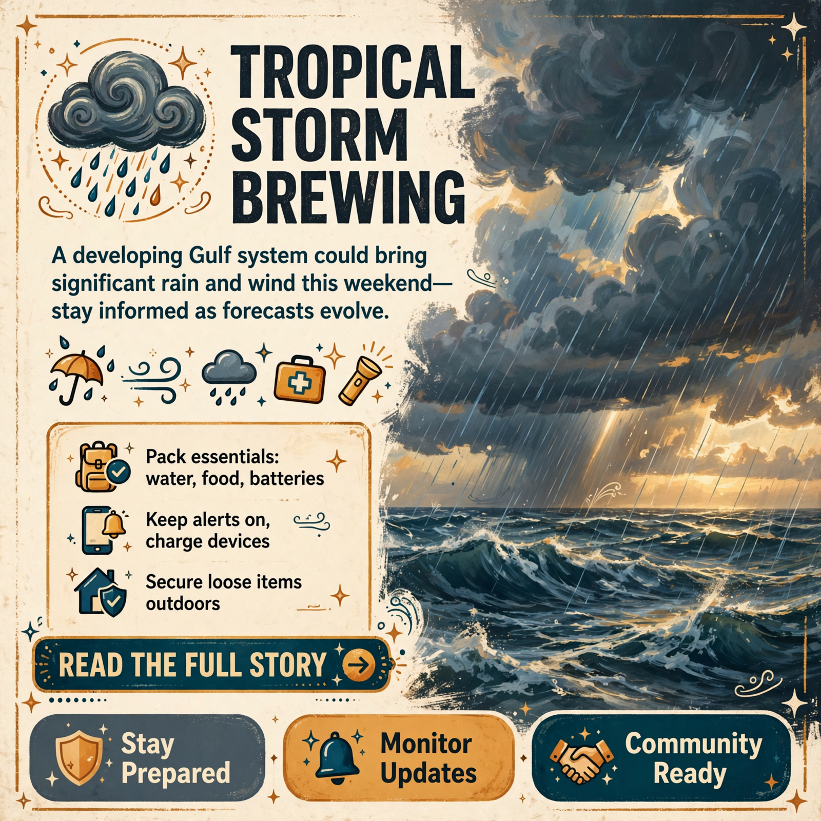
🌪️ Tropical System Isaias May Bring Rain and Wind to Tennessee Valley This Weekend
A developing storm system in the Gulf of Mexico could bring significant weather impacts to the Tennessee Valley and surrounding tri-state region by this weekend. While the forecast remains uncertain at this early stage, residents should begin monitoring weather updates now to understand what conditions may arrive in the coming days.
📍 What’s Developing in the Gulf
A tropical system is organizing in the southwest Gulf of Mexico and has a high probability of becoming a named tropical storm by later this week. If it reaches tropical storm strength, it will be named Isaias (pronounced “ee-sah-EE-ahs”). Current forecasts suggest potential intensities could range from a weak tropical storm to even hurricane strength by the time it reaches the Gulf Coast this weekend, though significant uncertainty remains. 🌊
The system’s ultimate strength will depend on competing atmospheric factors: warm Gulf waters favor intensification, but strong wind shear in the western Gulf could keep the system weaker. Meteorologists stress that tropical systems are far more complex than traditional cold-front storms, with many moving parts that can shift forecasts dramatically as the system develops and organizes.
⛈️ What the Tennessee Valley Could Experience
For residents across the Tennessee Valley and the broader tri-state region (Tennessee, Alabama, and Georgia), the primary concern is rainfall this weekend. How much rain falls-and whether gusty winds or strong storms accompany it-will depend entirely on the track Isaias takes as it moves inland. 💧
Current weather models suggest a scenario where the low-pressure center could pass just west of the area, positioning the Tennessee Valley on the heavier right side of the storm. If that trend holds, residents could experience a significant soaking rain and possibly gusty winds or strong thunderstorms. However, even small shifts in the storm’s track could dramatically change rainfall amounts and wind impacts.
🗓️ What Residents Should Know Right Now
This forecast is still 5-7 days out, meaning substantial changes are likely before the system arrives. Weather experts caution against making firm decisions based on current projections. Instead, residents should:
- Monitor weather updates daily as new forecast data becomes available
- Watch for shifts in the storm’s track and intensity-even small changes matter
- Delay major decisions (such as canceling fall break plans to the Gulf Coast) until later this week, when details become clearer
- Prepare for the possibility of heavy rain and gusty winds, but remain flexible as forecasts evolve
For anyone with fall break plans on the Gulf Coast this weekend, paying close attention to daily updates is essential. Meteorologists recommend waiting until mid-week to make final decisions, allowing forecasts to become more precise as Isaias develops and its path becomes clearer. 📱
❓ Why Tropical Forecasts Change So Much
Residents may notice dramatic shifts in rainfall forecasts and track predictions over the next few days. This is normal and expected with tropical systems. Unlike traditional cold-front storms, tropical systems have numerous interacting components-sea surface temperatures, wind shear, atmospheric pressure patterns, and the position of high-pressure systems-that can shift the forecast significantly. Meteorologists emphasize that at this range, the focus is on watching trends in computer models and atmospheric physics as the system develops, rather than treating any single forecast as final. 🔄
💡 Why This Matters Locally
Heavy rain and gusty winds could affect daily life across the region-from road conditions and outdoor activities to power stability and water management. Residents who rely on outdoor work, commute on regional highways, or have outdoor plans this weekend should begin thinking about contingencies. Families with fall break travel plans, especially to coastal areas, need to stay informed to make safe decisions. Even if Isaias weakens or tracks differently than current models suggest, the uncertainty itself is worth taking seriously. 🏠
🌐 Community Connections and Preparedness
Local schools, businesses, and community organizations may need to adjust weekend plans or prepare for potential weather impacts. Residents who work in weather-sensitive industries-agriculture, construction, outdoor recreation, transportation-should begin monitoring forecasts closely. Families should check on neighbors, especially older adults or those living alone, to ensure everyone has access to weather updates and knows how to stay safe if conditions deteriorate. 👥
📊 What Happens Next
Over the next 24-48 hours, meteorologists will have much clearer data on Isaias’s development, intensity, and likely track. By mid-week, forecasts should narrow significantly, allowing residents to make informed decisions about weekend plans. The National Weather Service and local meteorologists will continue issuing updates as new information arrives. Residents should check weather forecasts daily and be prepared to adjust plans if conditions warrant. ⏰
🤔 Questions Worth Considering
- Do you have a reliable way to receive weather alerts and updates throughout the week?
- If heavy rain arrives this weekend, how might it affect your work, commute, or planned activities?
- Are there neighbors, family members, or friends who may need help staying informed or preparing for potential weather impacts?
- Does your home or property have any vulnerabilities to heavy rain or wind that you should address now?
- If you’re traveling this weekend, how will you stay updated on changing conditions?
🔮 Looking Ahead
While this week’s weather remains pleasant, the arrival of a tropical system-even a weakened one-would mark a shift in the seasonal pattern. Residents should use this forecast as a reminder to review emergency preparedness plans, ensure weather alert systems are working, and think about how to support neighbors and community members during severe weather events. The next few days will tell the real story of what Isaias brings to the Tennessee Valley. 🌤️➡️⛈️




0 Comments