
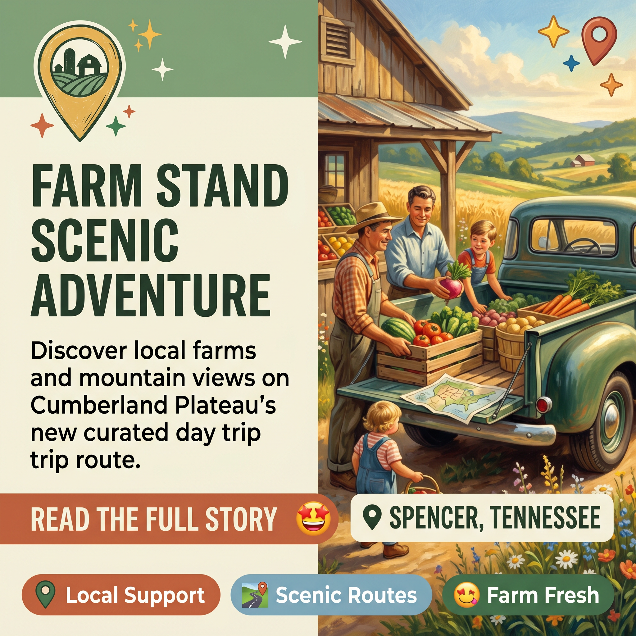
🚜 Farm Stand Day Trip Map Launches on Cumberland Plateau — Explore Local Farms & Scenic Routes
As summer travel season kicks into gear across the Sequatchie Valley, a new farm stand day trip map is giving residents and visitors a curated way to support local agriculture while enjoying some of the region’s most picturesque back roads. 🌄 The initiative reflects a growing appetite in the community for agritourism experiences that blend outdoor exploration with small-business support.
Hillside Sunshine has created a farm stand day trip map designed to guide travelers through the scenic routes and agricultural stops dotting the Cumberland Plateau. 🗺️ The map highlights multiple local farms and farm stands, offering a structured yet flexible way to spend a day discovering what the region’s agricultural community has to offer. Switchgrass Farm, one of the featured stops, praised the effort as “the kind of thing that makes our community special.”
📍 Why This Matters for Local Travelers
The map taps into a timeless appeal: the joy of taking the scenic route without a rigid itinerary. 🛣️ Rather than rushing to a single destination, visitors can load up the family, follow the mapped route, and stop at farm stands along the way to pick up fresh goods, local products, and mountain views. It’s a straightforward way to discover new places while putting money directly into the pockets of local farmers and small-business owners.
⭐ What to Expect
Travelers following the route can anticipate a mix of good food, locally-sourced goods, and the natural beauty of the plateau landscape. 🌽 The stops are positioned along some of the region’s most scenic roads, making the journey itself as rewarding as the destinations. For families and friends looking for a low-key Saturday outing, the combination of farm-fresh shopping and mountain scenery offers an alternative to typical tourist attractions.
The farm stand day trip map is now available for those interested in exploring the Sequatchie Valley’s agricultural heritage and scenic byways. 🚗✨
Related Businesses
Davis Family Farmstand
Direct farm stand stop offering fresh produce, eggs, and seasonal goods that travelers on the farm stand day trip map would visit.
Burrows Farms
Micro farm in Sequatchie Valley region providing fresh produce and specialty items, a natural stop on the mapped farm stand route.
Hunter Farms Blueberries
U-Pick blueberry farm offering a hands-on agritourism experience aligned with the day trip map’s blend of outdoor exploration and farm visits.
Sequatchie Valley National Scenic Byway
The scenic byway corridor that the farm stand day trip map follows, providing the picturesque back roads mentioned in the article.
Wheeler’s Orchard & Vineyard
200-acre agritourism destination on Cumberland Plateau offering scenic farm experience matching the day trip map’s combination of natural beauty and agricultural stops.
Flat Top Mountain Farm
Historic family-owned agritourism destination near Soddy-Daisy on the plateau offering the scenic mountain views and farm experience promoted by the day trip map.



0 Comments